Country Club Hills is a city in Cook County, Illinois, United States. It is a suburb and south of Chicago. The population was 16,775 at the 2020 census.
| Name: | Country Club Hills city |
|---|---|
| LSAD Code: | 25 |
| LSAD Description: | city (suffix) |
| State: | Illinois |
| County: | Cook County |
| Incorporated: | 1958 |
| Total Area: | 4.99 sq mi (12.92 km²) |
| Land Area: | 4.97 sq mi (12.87 km²) |
| Water Area: | 0.02 sq mi (0.04 km²) 0.41% |
| Total Population: | 16,775 |
| Population Density: | 3,375.25/sq mi (1,303.14/km²) |
| Area code: | 708 |
| FIPS code: | 1716691 |
| Website: | countryclubhills.org |
Online Interactive Map
Click on ![]() to view map in "full screen" mode.
to view map in "full screen" mode.
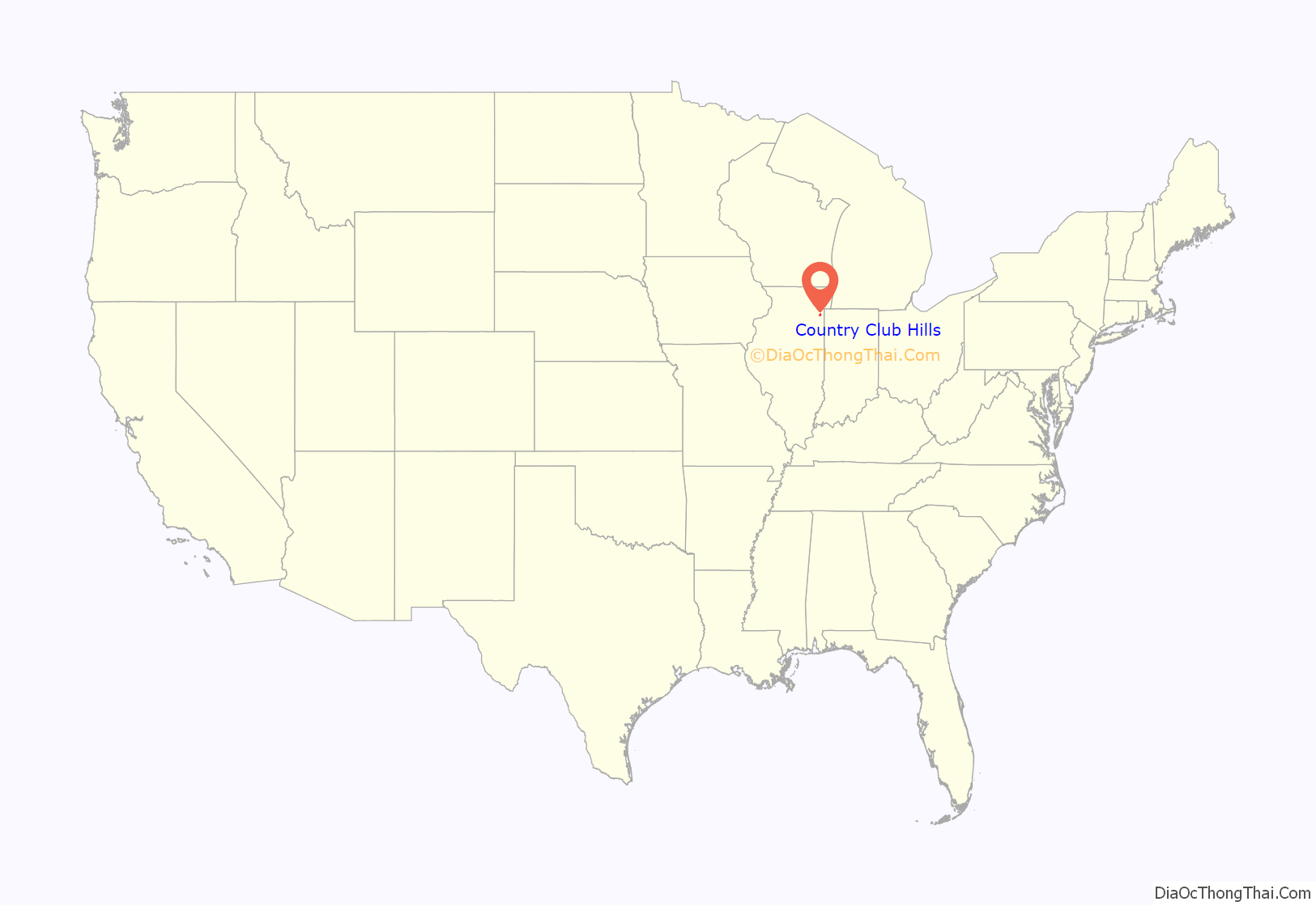
Country Club Hills location map. Where is Country Club Hills city?
History
10,000 years ago, during a glacial period, there was a complex of moraines in this area, before modern times.
Country Club Hills was historically known as Copper’s Grove, a German Farmer-based place, throughout the 1800s. It was used for growing crops, and a lot more at that time.
In the 1950s, Copper’s Grove started to transition into present-day Country Club Hills, where farms started to move away, and started to get more populated. As a result, Country Club Hills became a incorporated city in 1958. The first town hall was located on a farmhouse on the southeastern corner of present day Cicero Ave. and 183rd St. That building relocated to currently the Police Department building on 175th St in 1975.
The city has been developing rapidly since then, especially in 2006, where the city used a $16 million municipal bond to build a $5 million amphitheatre on the City Campus, a $2 million fire station, an upgraded community park, and various infrastructure improvement projects.
Country Club Hills Road Map
Country Club Hills city Satellite Map
Geography
According to the 2021 census gazetteer files, Country Club Hills has a total area of 4.99 square miles (12.92 km), of which 4.97 square miles (12.87 km) (or 99.66%) is land and 0.02 square miles (0.05 km) (or 0.34%) is water.
Country Club Hills is neighbored by Hazel Crest to the east, Flossmoor and Matteson to the south, Oak Forest to the northwest, Markham to the north, and the Cook County Forest Preserves and Tinley Park to the west.
See also
Map of Illinois State and its subdivision:- Adams
- Alexander
- Bond
- Boone
- Brown
- Bureau
- Calhoun
- Carroll
- Cass
- Champaign
- Christian
- Clark
- Clay
- Clinton
- Coles
- Cook
- Crawford
- Cumberland
- De Kalb
- De Witt
- Douglas
- Dupage
- Edgar
- Edwards
- Effingham
- Fayette
- Ford
- Franklin
- Fulton
- Gallatin
- Greene
- Grundy
- Hamilton
- Hancock
- Hardin
- Henderson
- Henry
- Iroquois
- Jackson
- Jasper
- Jefferson
- Jersey
- Jo Daviess
- Johnson
- Kane
- Kankakee
- Kendall
- Knox
- La Salle
- Lake
- Lake Michigan
- Lawrence
- Lee
- Livingston
- Logan
- Macon
- Macoupin
- Madison
- Marion
- Marshall
- Mason
- Massac
- McDonough
- McHenry
- McLean
- Menard
- Mercer
- Monroe
- Montgomery
- Morgan
- Moultrie
- Ogle
- Peoria
- Perry
- Piatt
- Pike
- Pope
- Pulaski
- Putnam
- Randolph
- Richland
- Rock Island
- Saint Clair
- Saline
- Sangamon
- Schuyler
- Scott
- Shelby
- Stark
- Stephenson
- Tazewell
- Union
- Vermilion
- Wabash
- Warren
- Washington
- Wayne
- White
- Whiteside
- Will
- Williamson
- Winnebago
- Woodford
- Alabama
- Alaska
- Arizona
- Arkansas
- California
- Colorado
- Connecticut
- Delaware
- District of Columbia
- Florida
- Georgia
- Hawaii
- Idaho
- Illinois
- Indiana
- Iowa
- Kansas
- Kentucky
- Louisiana
- Maine
- Maryland
- Massachusetts
- Michigan
- Minnesota
- Mississippi
- Missouri
- Montana
- Nebraska
- Nevada
- New Hampshire
- New Jersey
- New Mexico
- New York
- North Carolina
- North Dakota
- Ohio
- Oklahoma
- Oregon
- Pennsylvania
- Rhode Island
- South Carolina
- South Dakota
- Tennessee
- Texas
- Utah
- Vermont
- Virginia
- Washington
- West Virginia
- Wisconsin
- Wyoming


