Countryside is a city in Cook County, Illinois, United States. Per the 2020 census, the population was 6,420.
| Name: | Countryside city |
|---|---|
| LSAD Code: | 25 |
| LSAD Description: | city (suffix) |
| State: | Illinois |
| County: | Cook County |
| Incorporated: | 1960 |
| Total Area: | 2.88 sq mi (7.45 km²) |
| Land Area: | 2.88 sq mi (7.45 km²) |
| Water Area: | 0.00 sq mi (0.00 km²) 0% |
| Total Population: | 6,420 |
| Population Density: | 2,230.72/sq mi (861.32/km²) |
| Area code: | 708 |
| FIPS code: | 1716873 |
| Website: | www.countryside-il.org |
Online Interactive Map
Click on ![]() to view map in "full screen" mode.
to view map in "full screen" mode.
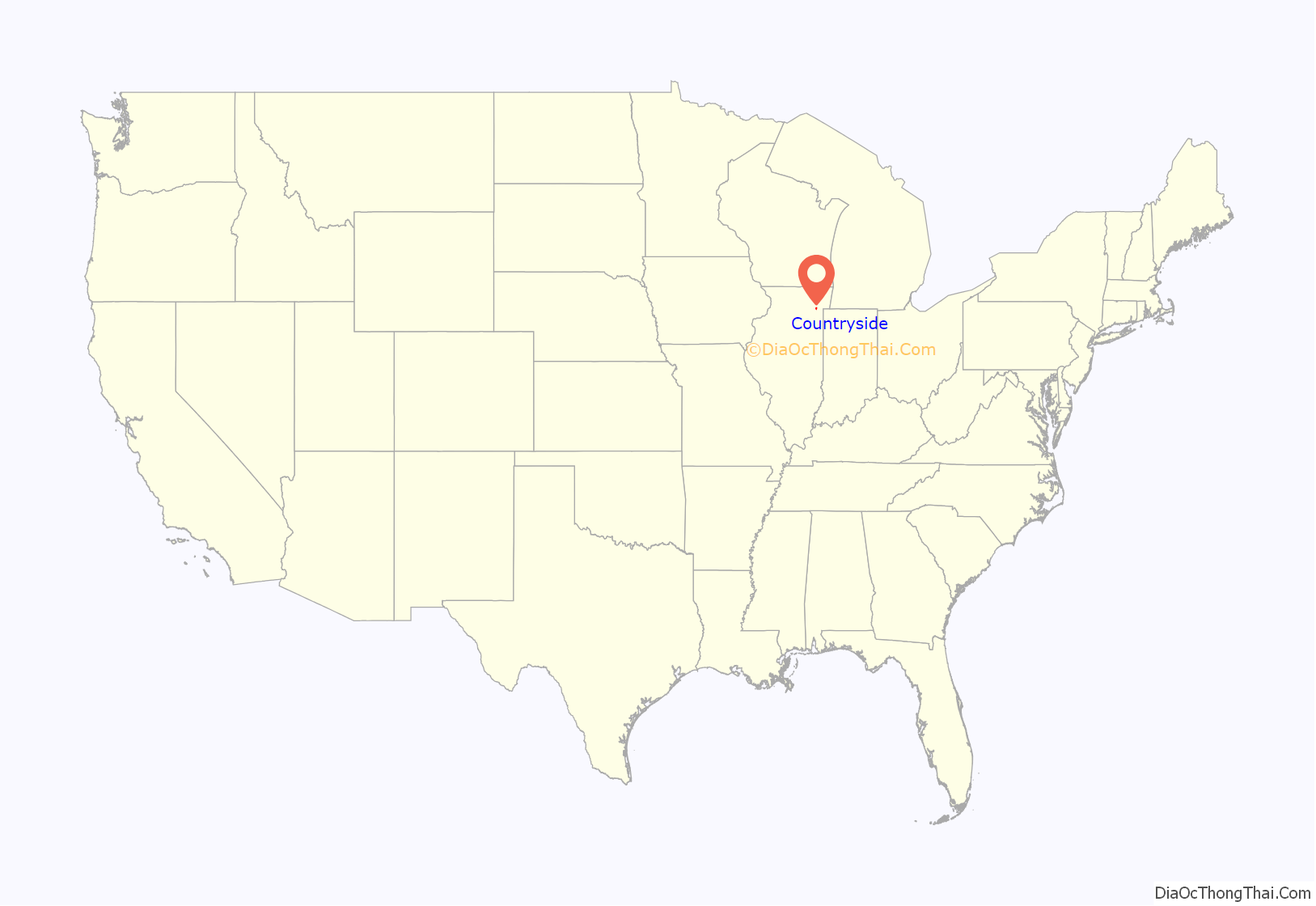
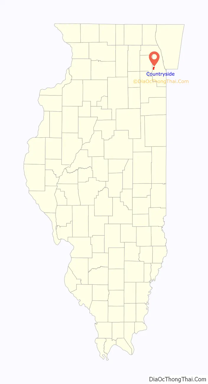
Countryside location map. Where is Countryside city?
History
The land where Countryside sits was originally inhabited by the Potawatomi Indians and later by early American pioneers in the beginning of the 19th century. Settler Joseph Vial and his family were among the first non-native people to settle in the Countryside area in 1833.
The area remained large expanses of rural farmland until the Great Chicago Fire of 1871, when the fire sent thousands of city dwellers into what is now west suburban Chicago. Land sold for only $2 an acre, which made areas such as Countryside a welcome respite from the congestion and industry in Chicago.
Despite the settlement of these early Countryside inhabitants, the area largely remained a quiet farming community until the post-World War II era when suburban areas such as Countryside began to experience explosive growth. The area’s first residential subdivision was LaGrange Terrace, built in 1947; it was later followed by the Don L. Dise and Edgewood Park subdivisions in the 1950s.
The City of Countryside was officially incorporated in 1960.
Around 1917, the Marx Brothers family (later a famous comedy team) bought a chicken farm near Joliet Road (Route 66) and La Grange Road. Groucho Marx later claimed that the brothers spent too much time at Wrigley Field watching the Chicago Cubs to make the farm economically viable.
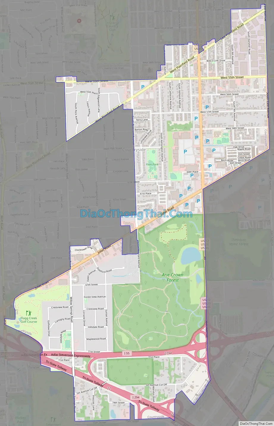
Countryside Road Map
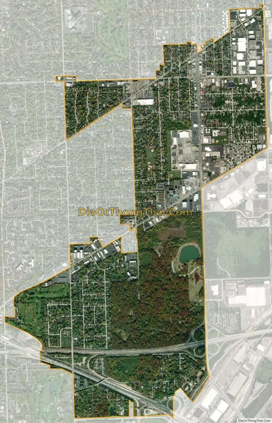
Countryside city Satellite Map
Geography
According to the 2021 census gazetteer files, Countryside has a total area of 2.88 square miles (7.46 km), all land.
See also
Map of Illinois State and its subdivision:- Adams
- Alexander
- Bond
- Boone
- Brown
- Bureau
- Calhoun
- Carroll
- Cass
- Champaign
- Christian
- Clark
- Clay
- Clinton
- Coles
- Cook
- Crawford
- Cumberland
- De Kalb
- De Witt
- Douglas
- Dupage
- Edgar
- Edwards
- Effingham
- Fayette
- Ford
- Franklin
- Fulton
- Gallatin
- Greene
- Grundy
- Hamilton
- Hancock
- Hardin
- Henderson
- Henry
- Iroquois
- Jackson
- Jasper
- Jefferson
- Jersey
- Jo Daviess
- Johnson
- Kane
- Kankakee
- Kendall
- Knox
- La Salle
- Lake
- Lake Michigan
- Lawrence
- Lee
- Livingston
- Logan
- Macon
- Macoupin
- Madison
- Marion
- Marshall
- Mason
- Massac
- McDonough
- McHenry
- McLean
- Menard
- Mercer
- Monroe
- Montgomery
- Morgan
- Moultrie
- Ogle
- Peoria
- Perry
- Piatt
- Pike
- Pope
- Pulaski
- Putnam
- Randolph
- Richland
- Rock Island
- Saint Clair
- Saline
- Sangamon
- Schuyler
- Scott
- Shelby
- Stark
- Stephenson
- Tazewell
- Union
- Vermilion
- Wabash
- Warren
- Washington
- Wayne
- White
- Whiteside
- Will
- Williamson
- Winnebago
- Woodford
- Alabama
- Alaska
- Arizona
- Arkansas
- California
- Colorado
- Connecticut
- Delaware
- District of Columbia
- Florida
- Georgia
- Hawaii
- Idaho
- Illinois
- Indiana
- Iowa
- Kansas
- Kentucky
- Louisiana
- Maine
- Maryland
- Massachusetts
- Michigan
- Minnesota
- Mississippi
- Missouri
- Montana
- Nebraska
- Nevada
- New Hampshire
- New Jersey
- New Mexico
- New York
- North Carolina
- North Dakota
- Ohio
- Oklahoma
- Oregon
- Pennsylvania
- Rhode Island
- South Carolina
- South Dakota
- Tennessee
- Texas
- Utah
- Vermont
- Virginia
- Washington
- West Virginia
- Wisconsin
- Wyoming


