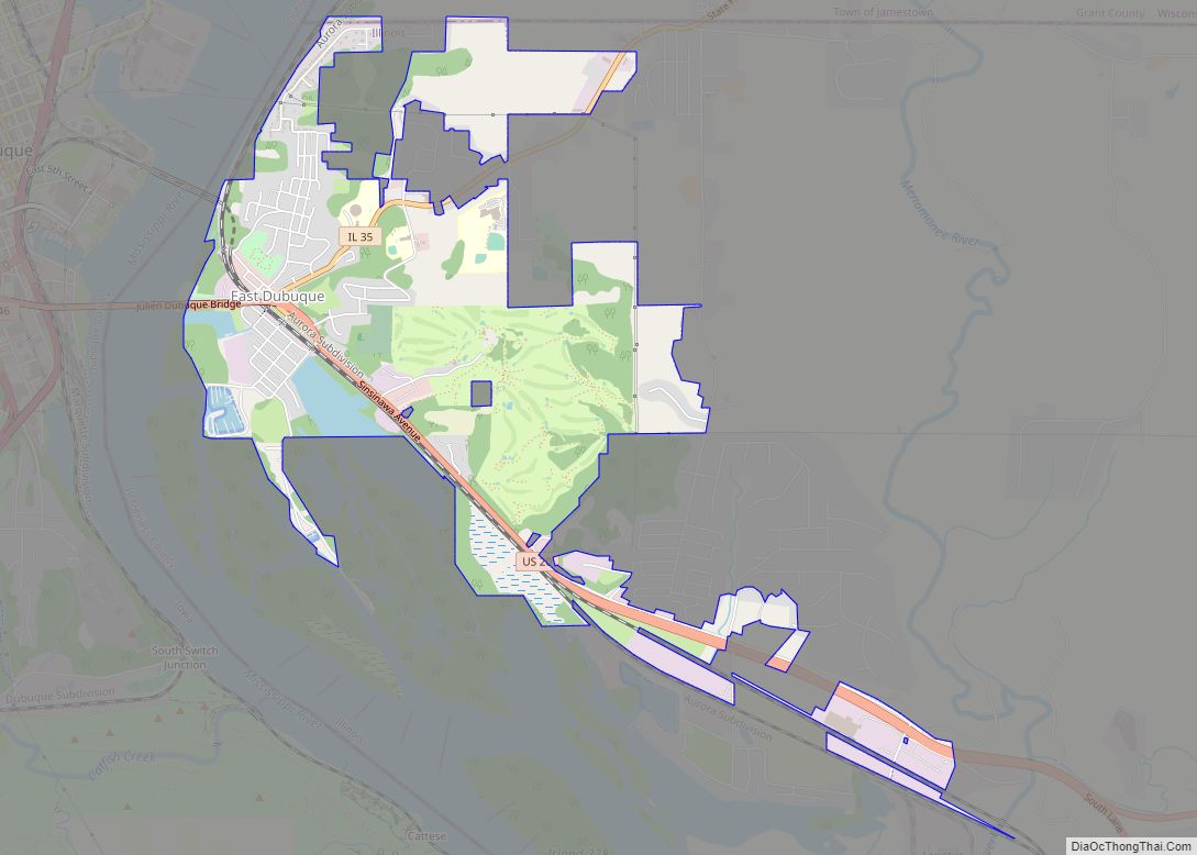
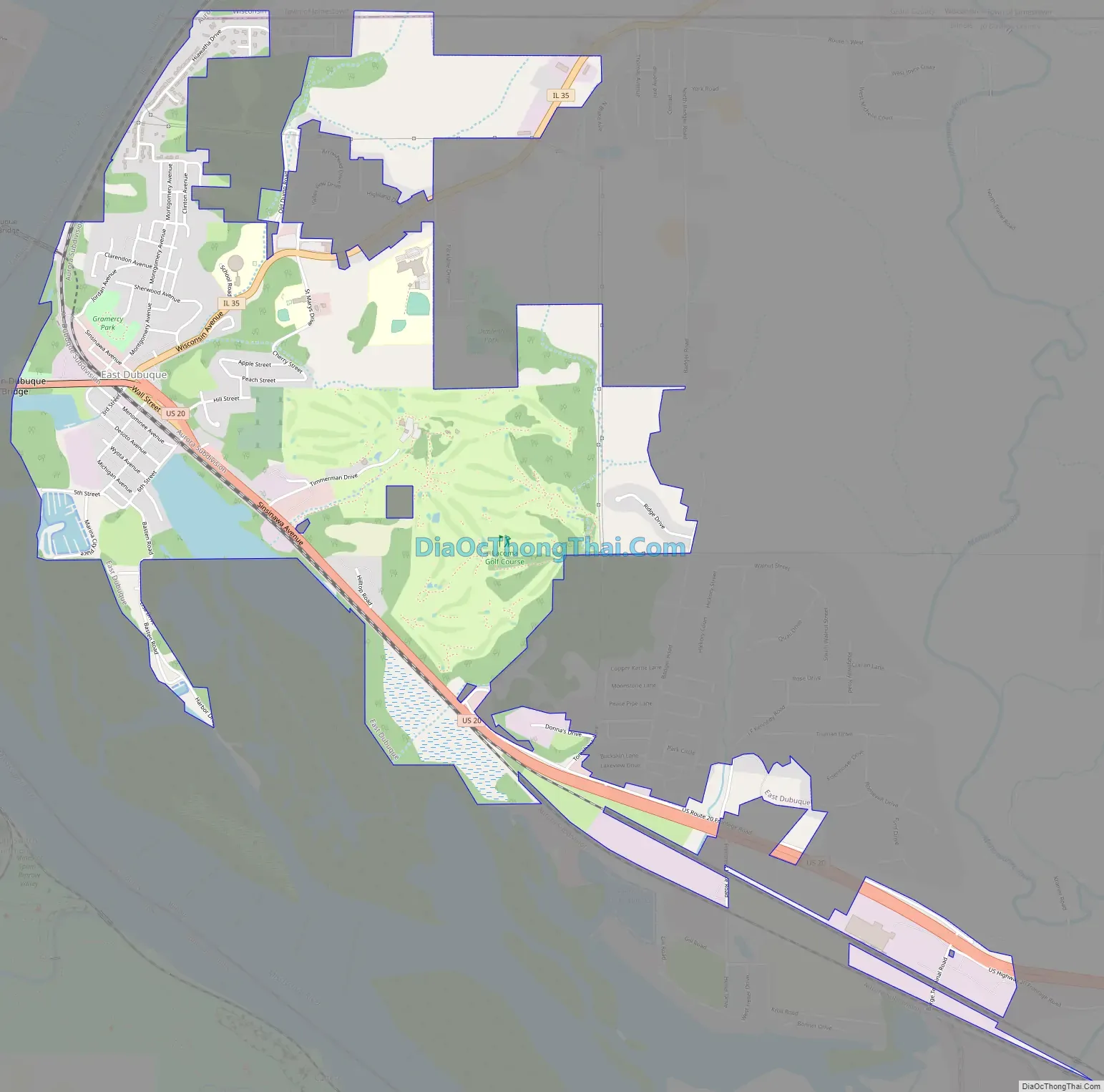
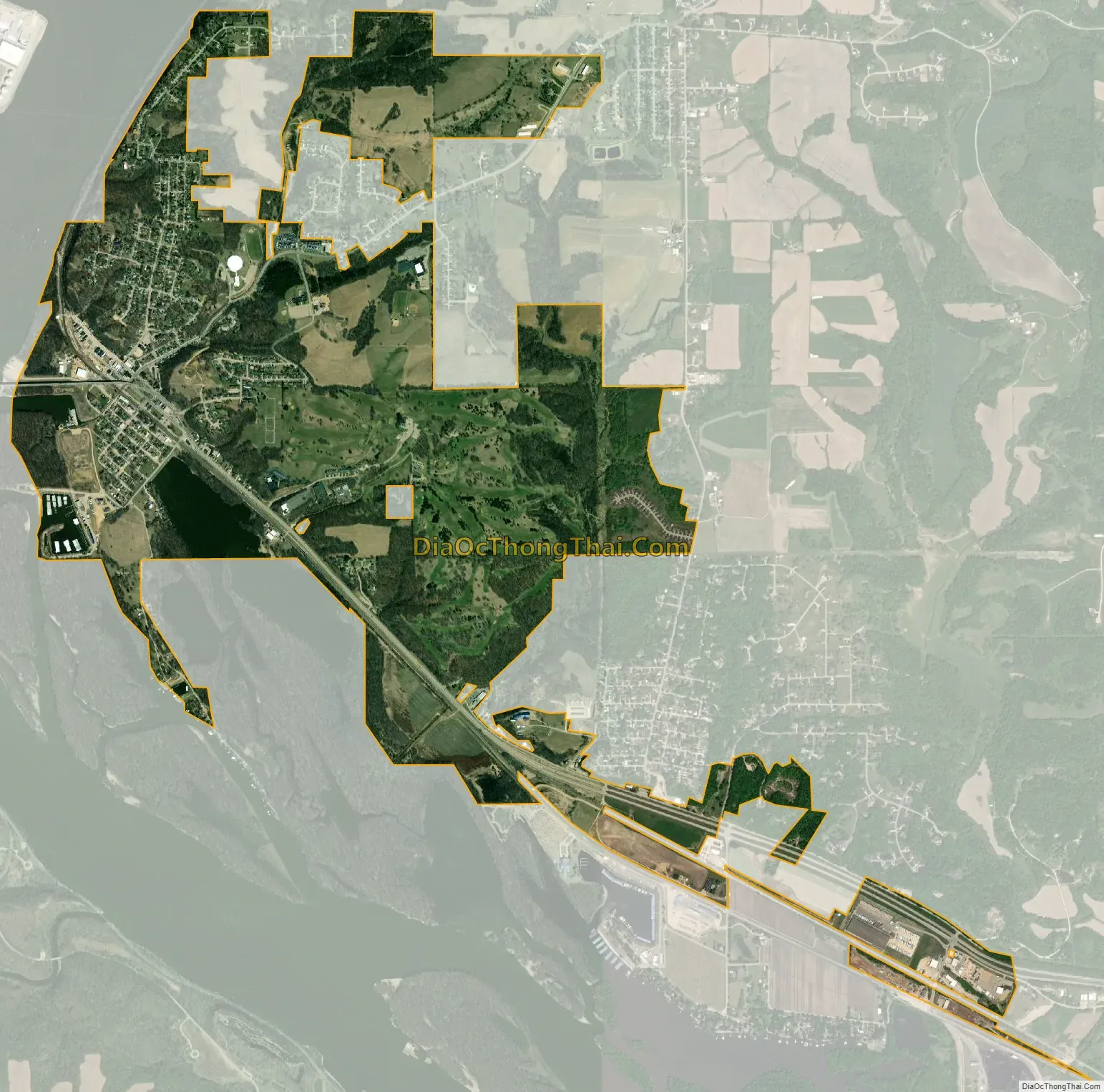
East Dubuque is a city in Jo Daviess County, Illinois, United States. The population was 1,505 at the 2020 census, down from 1,704 in 2010. East Dubuque is located alongside the Mississippi River. Across the river is the city of Dubuque, Iowa. The city limits extend along the river to the Illinois – Wisconsin border.
| Name: | East Dubuque city |
|---|---|
| LSAD Code: | 25 |
| LSAD Description: | city (suffix) |
| State: | Illinois |
| County: | Jo Daviess County |
| Elevation: | 610 ft (190 m) |
| Total Area: | 2.81 sq mi (7.29 km²) |
| Land Area: | 2.74 sq mi (7.10 km²) |
| Water Area: | 0.07 sq mi (0.19 km²) |
| Total Population: | 1,505 |
| Population Density: | 548.87/sq mi (211.94/km²) |
| Area code: | 815 |
| FIPS code: | 1721683 |
| Website: | www.cityofeastdubuque.com |
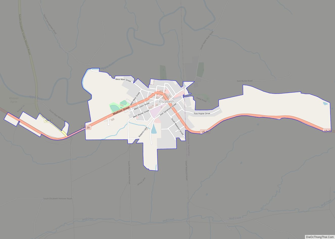
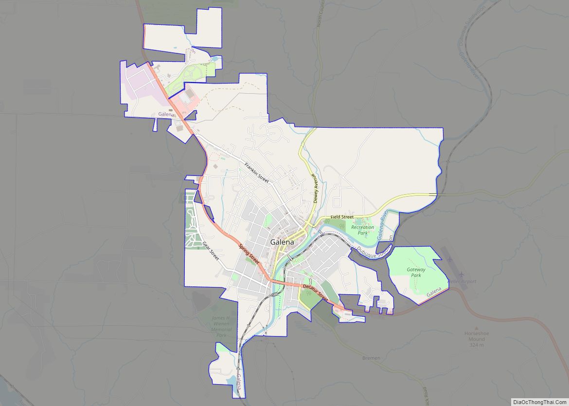
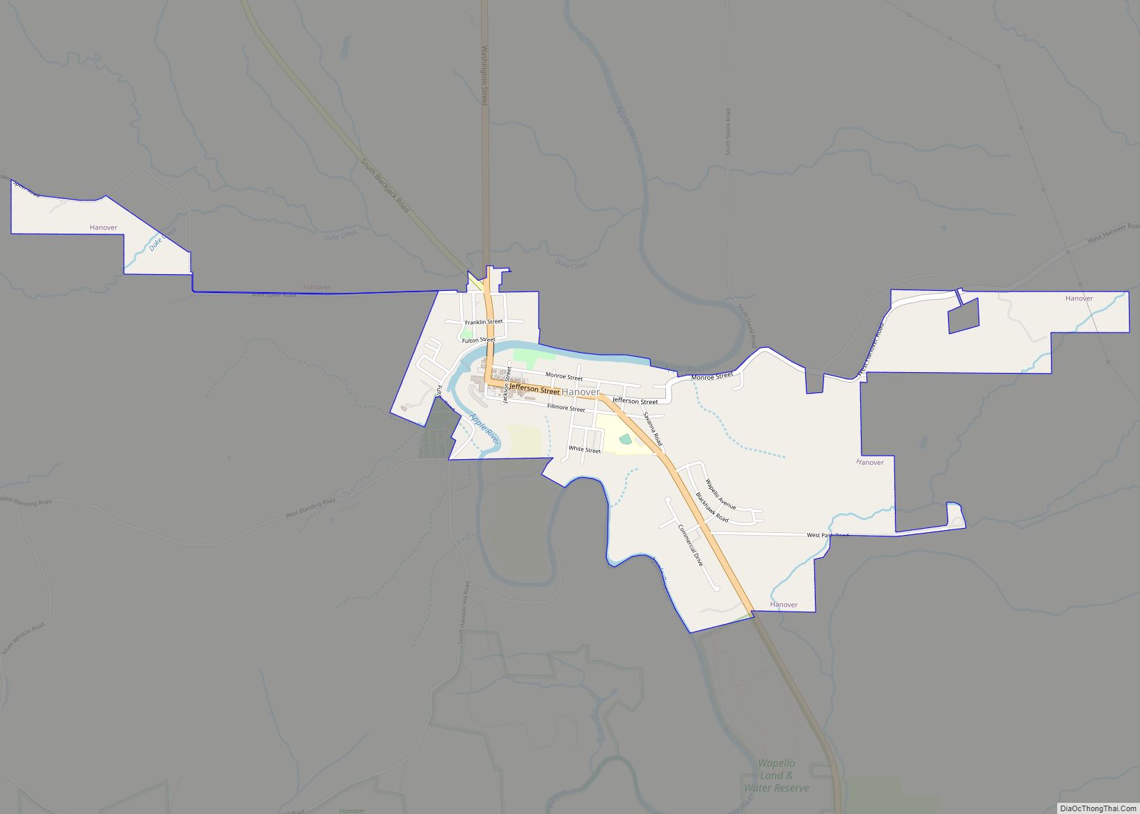
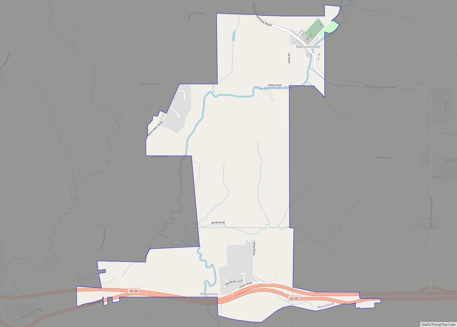
Online Interactive Map
Click on ![]() to view map in "full screen" mode.
to view map in "full screen" mode.
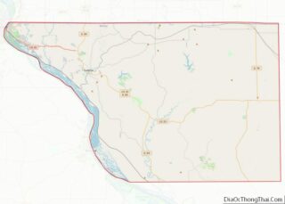
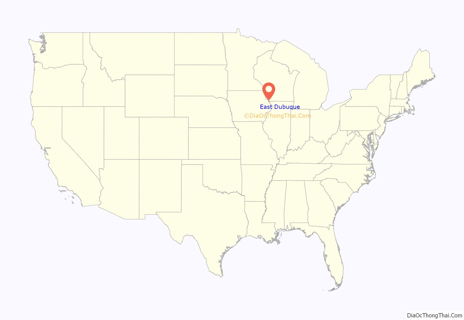
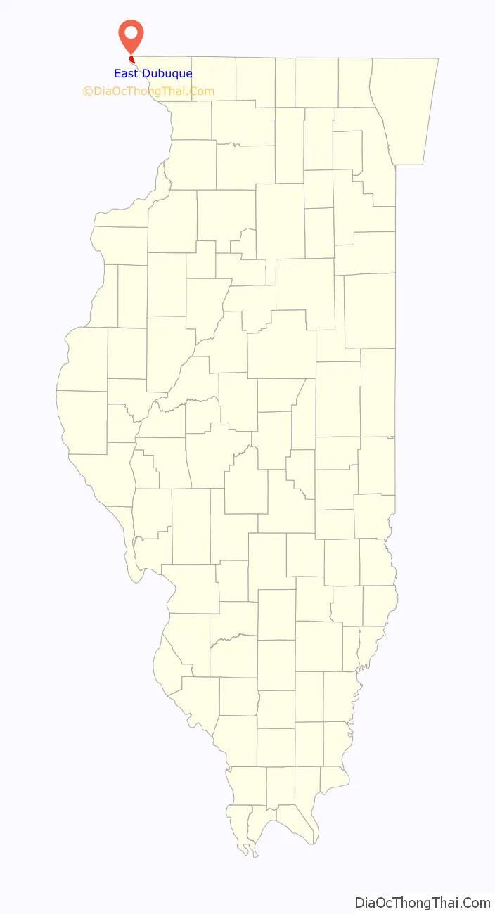
East Dubuque location map. Where is East Dubuque city?
History
East Dubuque was originally called Dunleith, and under the latter name was platted in 1853. The present name comes from the city’s location east of Dubuque. A post office was established at Dunleith in 1854, and the post office was renamed East Dubuque in 1879.
East Dubuque Road Map
East Dubuque city Satellite Map
Geography
East Dubuque is located at 42°29′28″N 90°38′28″W / 42.49111°N 90.64111°W / 42.49111; -90.64111 (42.491103, -90.641214).
According to the 2010 census, East Dubuque has a total area of 2.891 square miles (7.49 km), of which 2.81 square miles (7.28 km) (or 97.2%) is land and 0.081 square miles (0.21 km) (or 2.8%) is water.
See also
Map of Illinois State and its subdivision:- Adams
- Alexander
- Bond
- Boone
- Brown
- Bureau
- Calhoun
- Carroll
- Cass
- Champaign
- Christian
- Clark
- Clay
- Clinton
- Coles
- Cook
- Crawford
- Cumberland
- De Kalb
- De Witt
- Douglas
- Dupage
- Edgar
- Edwards
- Effingham
- Fayette
- Ford
- Franklin
- Fulton
- Gallatin
- Greene
- Grundy
- Hamilton
- Hancock
- Hardin
- Henderson
- Henry
- Iroquois
- Jackson
- Jasper
- Jefferson
- Jersey
- Jo Daviess
- Johnson
- Kane
- Kankakee
- Kendall
- Knox
- La Salle
- Lake
- Lake Michigan
- Lawrence
- Lee
- Livingston
- Logan
- Macon
- Macoupin
- Madison
- Marion
- Marshall
- Mason
- Massac
- McDonough
- McHenry
- McLean
- Menard
- Mercer
- Monroe
- Montgomery
- Morgan
- Moultrie
- Ogle
- Peoria
- Perry
- Piatt
- Pike
- Pope
- Pulaski
- Putnam
- Randolph
- Richland
- Rock Island
- Saint Clair
- Saline
- Sangamon
- Schuyler
- Scott
- Shelby
- Stark
- Stephenson
- Tazewell
- Union
- Vermilion
- Wabash
- Warren
- Washington
- Wayne
- White
- Whiteside
- Will
- Williamson
- Winnebago
- Woodford
- Alabama
- Alaska
- Arizona
- Arkansas
- California
- Colorado
- Connecticut
- Delaware
- District of Columbia
- Florida
- Georgia
- Hawaii
- Idaho
- Illinois
- Indiana
- Iowa
- Kansas
- Kentucky
- Louisiana
- Maine
- Maryland
- Massachusetts
- Michigan
- Minnesota
- Mississippi
- Missouri
- Montana
- Nebraska
- Nevada
- New Hampshire
- New Jersey
- New Mexico
- New York
- North Carolina
- North Dakota
- Ohio
- Oklahoma
- Oregon
- Pennsylvania
- Rhode Island
- South Carolina
- South Dakota
- Tennessee
- Texas
- Utah
- Vermont
- Virginia
- Washington
- West Virginia
- Wisconsin
- Wyoming