East Hazel Crest is a village in Cook County, Illinois, in the United States. It is a south suburb of Chicago. As of the 2020 census, the village population was 1,297.
| Name: | East Hazel Crest village |
|---|---|
| LSAD Code: | 47 |
| LSAD Description: | village (suffix) |
| State: | Illinois |
| County: | Cook County |
| Incorporated: | 1928 |
| Elevation: | 620 ft (190 m) |
| Total Area: | 0.78 sq mi (2.03 km²) |
| Land Area: | 0.78 sq mi (2.03 km²) |
| Water Area: | 0.00 sq mi (0.00 km²) |
| Total Population: | 1,297 |
| Population Density: | 1,654.34/sq mi (638.51/km²) |
| Area code: | 708 |
| FIPS code: | 1721904 |
| Website: | easthazelcrest.com |
Online Interactive Map
Click on ![]() to view map in "full screen" mode.
to view map in "full screen" mode.
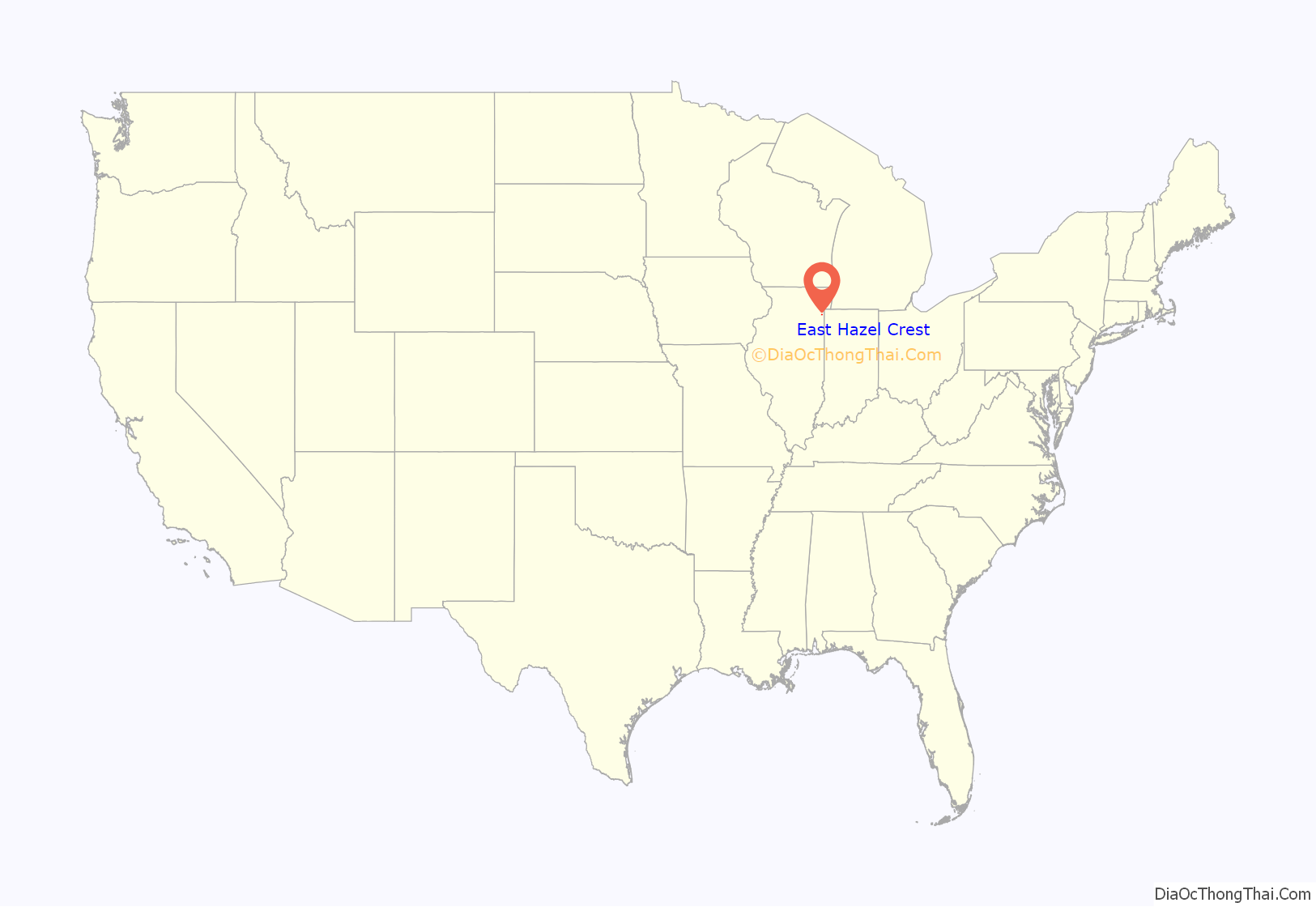
East Hazel Crest location map. Where is East Hazel Crest village?
History
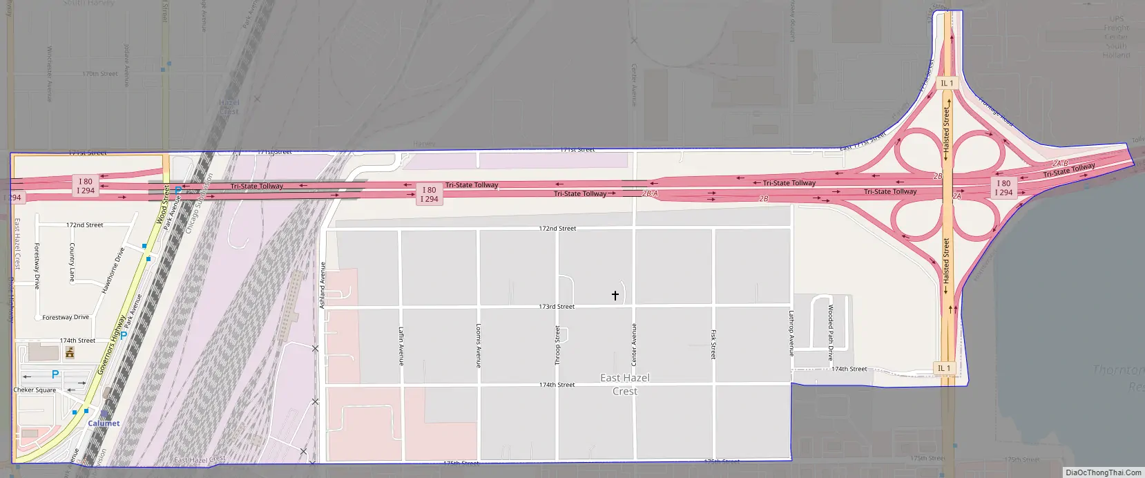
East Hazel Crest was a part of Hazel Crest when it incorporated in 1911 until the Illinois Central Railroad elevated their commuter and mainline tracks above grade, isolating the rural community from the rest of Hazel Crest. The community voted for incorporation into their own village in 1918. The village later annexed a small commercial area and residential subdivision, Bremerton Woods, that lies west of the Illinois Central Railroad where the village administration and Metra station now stand.
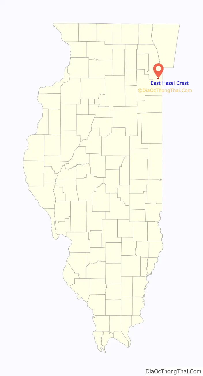
East Hazel Crest Road Map
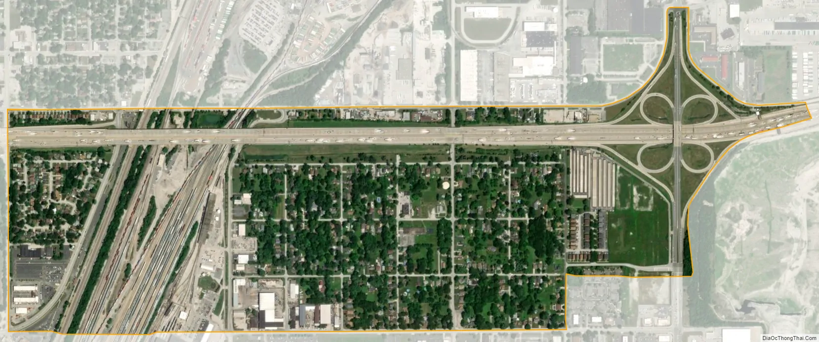
East Hazel Crest city Satellite Map
Geography
East Hazel Crest is located at 41°34′35″N 87°39′8″W / 41.57639°N 87.65222°W / 41.57639; -87.65222 (41.576384, -87.652171).
According to the 2021 census gazetteer files, East Hazel Crest has a total area of 0.78 square miles (2.02 km), all land.
Surrounding areas
See also
Map of Illinois State and its subdivision:- Adams
- Alexander
- Bond
- Boone
- Brown
- Bureau
- Calhoun
- Carroll
- Cass
- Champaign
- Christian
- Clark
- Clay
- Clinton
- Coles
- Cook
- Crawford
- Cumberland
- De Kalb
- De Witt
- Douglas
- Dupage
- Edgar
- Edwards
- Effingham
- Fayette
- Ford
- Franklin
- Fulton
- Gallatin
- Greene
- Grundy
- Hamilton
- Hancock
- Hardin
- Henderson
- Henry
- Iroquois
- Jackson
- Jasper
- Jefferson
- Jersey
- Jo Daviess
- Johnson
- Kane
- Kankakee
- Kendall
- Knox
- La Salle
- Lake
- Lake Michigan
- Lawrence
- Lee
- Livingston
- Logan
- Macon
- Macoupin
- Madison
- Marion
- Marshall
- Mason
- Massac
- McDonough
- McHenry
- McLean
- Menard
- Mercer
- Monroe
- Montgomery
- Morgan
- Moultrie
- Ogle
- Peoria
- Perry
- Piatt
- Pike
- Pope
- Pulaski
- Putnam
- Randolph
- Richland
- Rock Island
- Saint Clair
- Saline
- Sangamon
- Schuyler
- Scott
- Shelby
- Stark
- Stephenson
- Tazewell
- Union
- Vermilion
- Wabash
- Warren
- Washington
- Wayne
- White
- Whiteside
- Will
- Williamson
- Winnebago
- Woodford
- Alabama
- Alaska
- Arizona
- Arkansas
- California
- Colorado
- Connecticut
- Delaware
- District of Columbia
- Florida
- Georgia
- Hawaii
- Idaho
- Illinois
- Indiana
- Iowa
- Kansas
- Kentucky
- Louisiana
- Maine
- Maryland
- Massachusetts
- Michigan
- Minnesota
- Mississippi
- Missouri
- Montana
- Nebraska
- Nevada
- New Hampshire
- New Jersey
- New Mexico
- New York
- North Carolina
- North Dakota
- Ohio
- Oklahoma
- Oregon
- Pennsylvania
- Rhode Island
- South Carolina
- South Dakota
- Tennessee
- Texas
- Utah
- Vermont
- Virginia
- Washington
- West Virginia
- Wisconsin
- Wyoming


