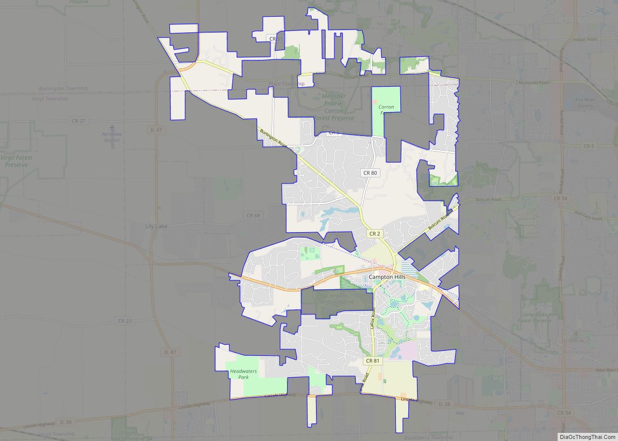
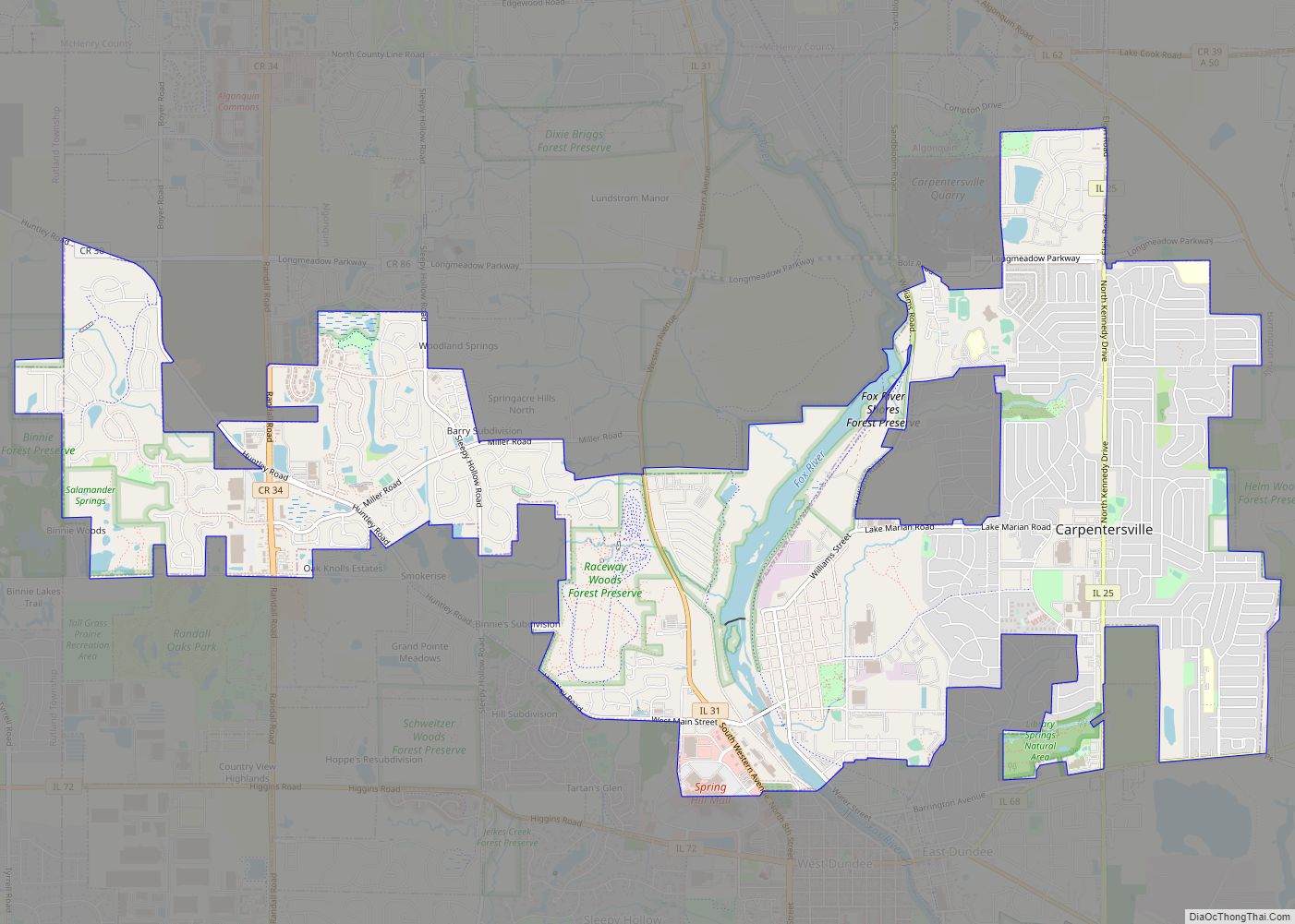
Elburn is a village in Kane County, Illinois, United States. The population was 5,602 as of the 2010 census, up from 2,756 at the 2000 census. It is located at the intersection of Illinois Route 38 and Route 47. Elburn is a town situated 46 miles (74 km) west of the Chicago Loop with frequent commuter rail service from its Metra station at the end of the Union Pacific West Line.
| Name: | Elburn village |
|---|---|
| LSAD Code: | 47 |
| LSAD Description: | village (suffix) |
| State: | Illinois |
| County: | Kane County |
| Elevation: | 840 ft (260 m) |
| Total Area: | 3.73 sq mi (9.66 km²) |
| Land Area: | 3.73 sq mi (9.66 km²) |
| Water Area: | 0.00 sq mi (0.00 km²) |
| Total Population: | 6,175 |
| Population Density: | 1,655.94/sq mi (639.34/km²) |
| Area code: | 630 |
| FIPS code: | 1722931 |
| Website: | elburn.il.us |
Online Interactive Map
Click on ![]() to view map in "full screen" mode.
to view map in "full screen" mode.
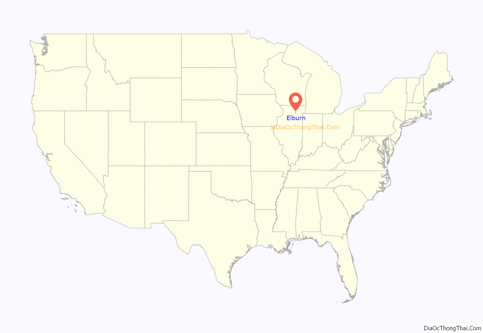
Elburn location map. Where is Elburn village?
History
On May 2, 1834, William Lance arrived in the Elburn area, and soon built a home there. Shortly thereafter, a man named Henry Warne arrived and opened a stagecoach inn called the Halfway House, since it was half-way between Oregon, Illinois and Chicago.
When the Chicago and North Western Transportation Company built through the area in 1854, the stop at this site was named Blackberry Station after the Township. The village incorporated as Elburn in 1886.
The village was originally named Blackberry Station, but was changed at the request of the railroad. The name Elburn itself derives from its originally suggested name, Melbourne, but a suggestion to shorten the name resulted in the dropping of the “M”, leaving Elbourne. From there, it was shortened even further to Elburne, and then finally to Elburn.
Once largely rural, the area’s population began rapidly expanding in the 1990s with the arrival of large tract home developments. In January 2006, Metra began to provide passenger rail service from Elburn to Chicago on the Union Pacific/West Line. This new station replaced Geneva as the western end-of-line making Elburn one of Chicago’s farthest western suburbs. A new station was also constructed in LaFox.
Elburn’s first large grocery store, a Jewel-Osco, was met in 2007 with both excitement and apprehension over its possible effects on local businesses.
Elburn Road Map
Elburn city Satellite Map
Geography
Elburn is located at 41°53.6′N 88°28.1′W / 41.8933°N 88.4683°W / 41.8933; -88.4683 (41.8940, -88.4686).
According to the 2010 census, Elburn has a total area of 3.13 square miles (8.11 km), all land.
See also
Map of Illinois State and its subdivision:- Adams
- Alexander
- Bond
- Boone
- Brown
- Bureau
- Calhoun
- Carroll
- Cass
- Champaign
- Christian
- Clark
- Clay
- Clinton
- Coles
- Cook
- Crawford
- Cumberland
- De Kalb
- De Witt
- Douglas
- Dupage
- Edgar
- Edwards
- Effingham
- Fayette
- Ford
- Franklin
- Fulton
- Gallatin
- Greene
- Grundy
- Hamilton
- Hancock
- Hardin
- Henderson
- Henry
- Iroquois
- Jackson
- Jasper
- Jefferson
- Jersey
- Jo Daviess
- Johnson
- Kane
- Kankakee
- Kendall
- Knox
- La Salle
- Lake
- Lake Michigan
- Lawrence
- Lee
- Livingston
- Logan
- Macon
- Macoupin
- Madison
- Marion
- Marshall
- Mason
- Massac
- McDonough
- McHenry
- McLean
- Menard
- Mercer
- Monroe
- Montgomery
- Morgan
- Moultrie
- Ogle
- Peoria
- Perry
- Piatt
- Pike
- Pope
- Pulaski
- Putnam
- Randolph
- Richland
- Rock Island
- Saint Clair
- Saline
- Sangamon
- Schuyler
- Scott
- Shelby
- Stark
- Stephenson
- Tazewell
- Union
- Vermilion
- Wabash
- Warren
- Washington
- Wayne
- White
- Whiteside
- Will
- Williamson
- Winnebago
- Woodford
- Alabama
- Alaska
- Arizona
- Arkansas
- California
- Colorado
- Connecticut
- Delaware
- District of Columbia
- Florida
- Georgia
- Hawaii
- Idaho
- Illinois
- Indiana
- Iowa
- Kansas
- Kentucky
- Louisiana
- Maine
- Maryland
- Massachusetts
- Michigan
- Minnesota
- Mississippi
- Missouri
- Montana
- Nebraska
- Nevada
- New Hampshire
- New Jersey
- New Mexico
- New York
- North Carolina
- North Dakota
- Ohio
- Oklahoma
- Oregon
- Pennsylvania
- Rhode Island
- South Carolina
- South Dakota
- Tennessee
- Texas
- Utah
- Vermont
- Virginia
- Washington
- West Virginia
- Wisconsin
- Wyoming
