Ellsworth is a village in Dawson Township, McLean County, Illinois, United States. The population was 184 at the 2020 census. It is part of the Bloomington–Normal Metropolitan Statistical Area.
| Name: | Ellsworth village |
|---|---|
| LSAD Code: | 47 |
| LSAD Description: | village (suffix) |
| State: | Illinois |
| County: | McLean County |
| Elevation: | 866 ft (264 m) |
| Total Area: | 0.22 sq mi (0.56 km²) |
| Land Area: | 0.22 sq mi (0.56 km²) |
| Water Area: | 0.00 sq mi (0.00 km²) |
| Total Population: | 184 |
| Population Density: | 847.93/sq mi (327.71/km²) |
| ZIP code: | 61737 |
| Area code: | 309 |
| FIPS code: | 1723555 |
| Website: | https://www.villageofellsworthil.com/ |
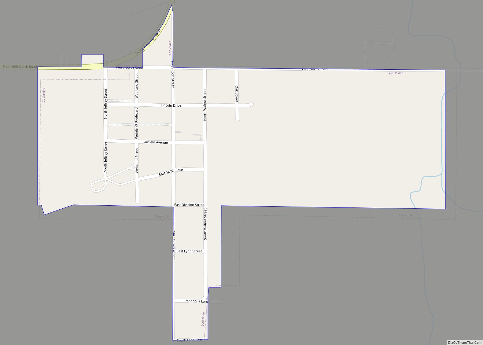
Online Interactive Map
Click on ![]() to view map in "full screen" mode.
to view map in "full screen" mode.
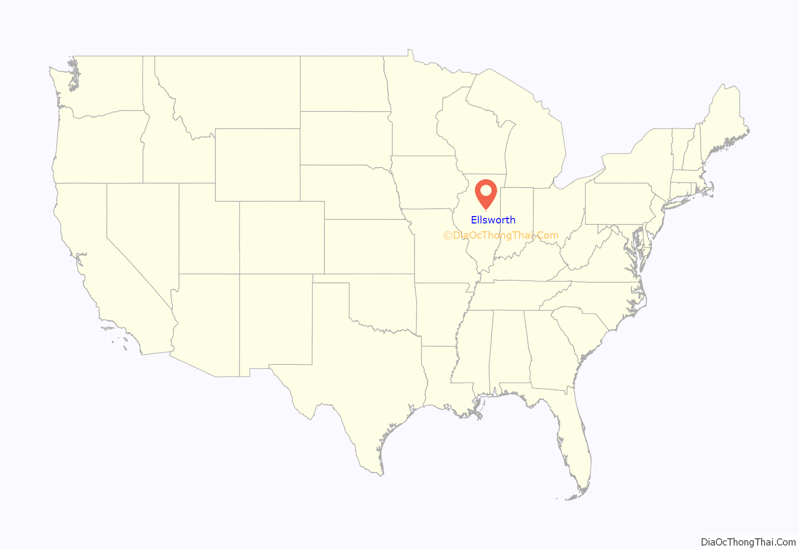
Ellsworth location map. Where is Ellsworth village?
History
Founding and original design
Ellsworth was laid out on December 6, 1871, by Jonathan H. Cheney (1833–1920), Almon Brigham Ives (1816–1887), and Oliver Ellsworth, whom the town was named after. Cheney was one of three sons of early McLean County settler Jonathan Cheney active in promoting the Lafayette Bloomington and Mississippi Railroad; when his brother, Haines Cheney, was in the Illinois Senate he had helped to arrange the charter of the railroad. Almon B. Ives was a Bloomington lawyer specializing in land law; both Cheney and Ives were on the board of directors of the new railroad. In 1876 the railroad was leased to the Lake Erie and Western Railroad and in 1879 was incorporated into that road. Construction began on the railroad in 1869. The new townsite occupied 40 acres (16 ha) on each side of the tracks. The plan of Ellsworth was almost identical to that of its neighbor, Arrowsmith. A 200-foot (61 m) swath of railroad land cut the town into two almost equal parts. Most of the early commercial development was along Main Street south of the tracks. The depot was on the south side of the tracks, and the early elevator on the north side.
Selling of Ellsworth at auction
In November 1871 an advertisement appeared in the Bloomington Pantagraph saying that on November 8 an auction of 150 lots would be held at the site of the new town. The advertisement praised the fertility of the surrounding countryside and stressed that the farms were of moderate size. Readers were told that the new town would be the logical point for shipping grain. They were also told that by shipping from Ellsworth their grain would go through Toledo, Ohio, “avoiding the grain scalpers of Chicago.” All interested people were to gather at the Illinois Central Depot in Bloomington at 9:00 in the morning. A free train would take them to the site of the new town. A free lunch would be provided, and Bloomington brewers Meyer and Wochner would provide the beer. Some two hundred people consumed 200 loaves of bread, 150 pounds of boiled ham, 60 barrels of cheese and a barrel of crackers. A. J. Wampler bought the first lot. Most lots sold at from forty to sixty-five dollars.
Development of Ellsworth
Many local merchants were attracted to the new town. John Campbell moved his store from Stumptown about 4 miles (6 km) south of Ellsworth. Stumptown was soon totally abandoned. Edwards and Wampler moved their stock from a store in rural Blue Mound Township and were soon reported to be doing a thriving trade; Wampler became the first postmaster. Henry Vandervoort and Joseph Pierce opened a hardware store in 1873. August Flint had a wagon shop. The town founders donated “a good lot” for a church. In 1872 regular freight service began along the new railroad. Many new houses were built. Grain was soon being purchased and shipped. After a brief boom the population soon exceeded 200, but growth soon slowed.
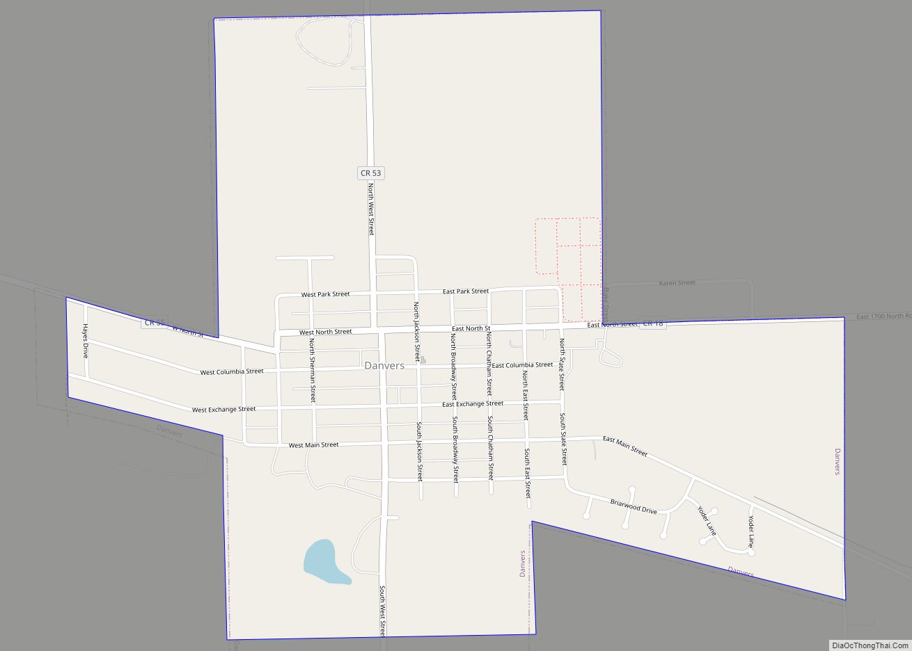
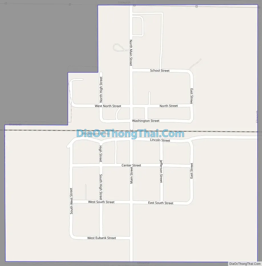
Ellsworth Road Map
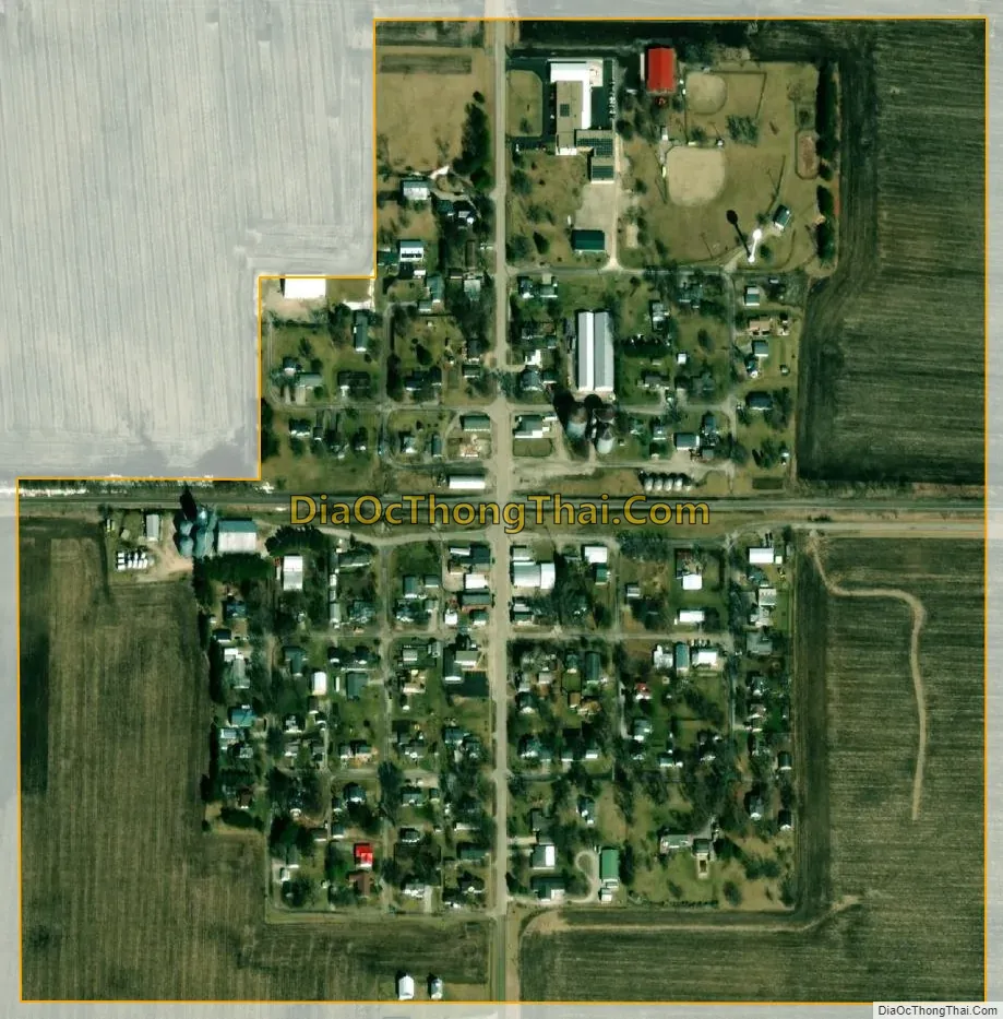
Ellsworth city Satellite Map
Geography
Ellsworth is in eastern McLean County, 16 miles (26 km) east of Bloomington, the county seat, and 9 miles (14 km) north-northeast of Le Roy.
According to the U.S. Census Bureau, Ellsworth has a total area of 0.22 square miles (0.57 km), all land.
See also
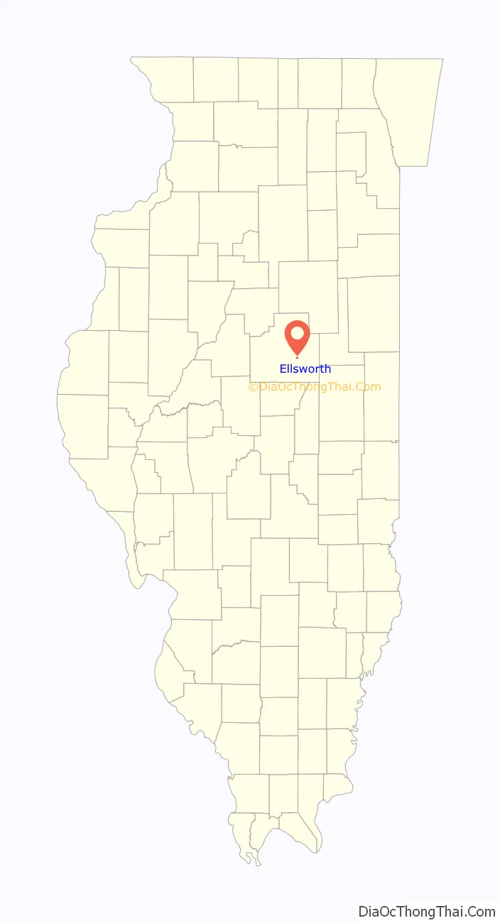
Map of Illinois State and its subdivision:- Adams
- Alexander
- Bond
- Boone
- Brown
- Bureau
- Calhoun
- Carroll
- Cass
- Champaign
- Christian
- Clark
- Clay
- Clinton
- Coles
- Cook
- Crawford
- Cumberland
- De Kalb
- De Witt
- Douglas
- Dupage
- Edgar
- Edwards
- Effingham
- Fayette
- Ford
- Franklin
- Fulton
- Gallatin
- Greene
- Grundy
- Hamilton
- Hancock
- Hardin
- Henderson
- Henry
- Iroquois
- Jackson
- Jasper
- Jefferson
- Jersey
- Jo Daviess
- Johnson
- Kane
- Kankakee
- Kendall
- Knox
- La Salle
- Lake
- Lake Michigan
- Lawrence
- Lee
- Livingston
- Logan
- Macon
- Macoupin
- Madison
- Marion
- Marshall
- Mason
- Massac
- McDonough
- McHenry
- McLean
- Menard
- Mercer
- Monroe
- Montgomery
- Morgan
- Moultrie
- Ogle
- Peoria
- Perry
- Piatt
- Pike
- Pope
- Pulaski
- Putnam
- Randolph
- Richland
- Rock Island
- Saint Clair
- Saline
- Sangamon
- Schuyler
- Scott
- Shelby
- Stark
- Stephenson
- Tazewell
- Union
- Vermilion
- Wabash
- Warren
- Washington
- Wayne
- White
- Whiteside
- Will
- Williamson
- Winnebago
- Woodford
- Alabama
- Alaska
- Arizona
- Arkansas
- California
- Colorado
- Connecticut
- Delaware
- District of Columbia
- Florida
- Georgia
- Hawaii
- Idaho
- Illinois
- Indiana
- Iowa
- Kansas
- Kentucky
- Louisiana
- Maine
- Maryland
- Massachusetts
- Michigan
- Minnesota
- Mississippi
- Missouri
- Montana
- Nebraska
- Nevada
- New Hampshire
- New Jersey
- New Mexico
- New York
- North Carolina
- North Dakota
- Ohio
- Oklahoma
- Oregon
- Pennsylvania
- Rhode Island
- South Carolina
- South Dakota
- Tennessee
- Texas
- Utah
- Vermont
- Virginia
- Washington
- West Virginia
- Wisconsin
- Wyoming