Elmwood Park is a village in Cook County, Illinois, United States. The population was 24,521 at the 2020 census. The community has long maintained a large Italian-American population, with a more recent influx of Polish-American and Hispanic residents.
| Name: | Elmwood Park village |
|---|---|
| LSAD Code: | 47 |
| LSAD Description: | village (suffix) |
| State: | Illinois |
| County: | Cook County |
| Incorporated: | 1914 |
| Total Area: | 1.91 sq mi (4.94 km²) |
| Land Area: | 1.91 sq mi (4.94 km²) |
| Water Area: | 0.00 sq mi (0.00 km²) 0% |
| Total Population: | 24,521 |
| Population Density: | 12,851.68/sq mi (4,961.04/km²) |
| ZIP code: | 60707 |
| Area code: | 708 |
| FIPS code: | 1723724 |
| Website: | www.elmwoodpark.org |
Online Interactive Map
Click on ![]() to view map in "full screen" mode.
to view map in "full screen" mode.
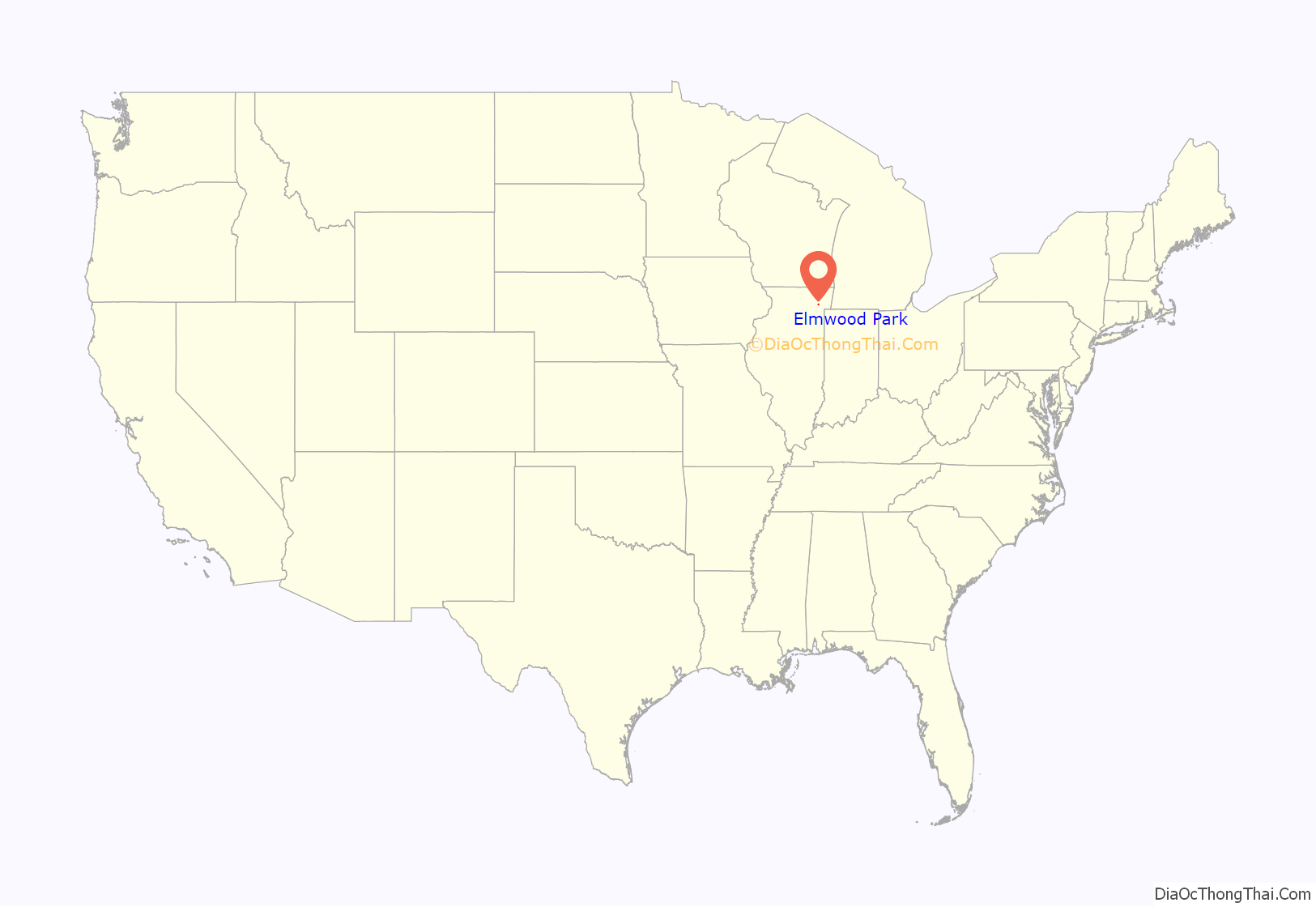
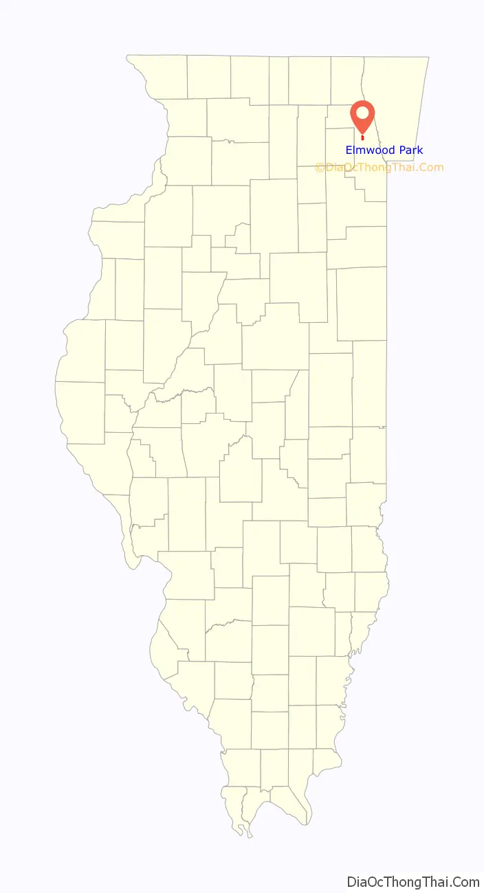
Elmwood Park location map. Where is Elmwood Park village?
History
Elmwood Park was incorporated as a village in early April 1914 in order to prevent annexation by the greater city of Chicago. Today one can still see evidence of a minority of landowners, or share farmers who voted for annexation to the city in 1915 by the odd chunk taken out of Elmwood Park’s northeast corner, which kept the community from achieving a full square rectangular border.
At the turn of the Century, urban dwellers would take a train on the Milwaukee Road, (which is now Canadian Pacific) westward out of the harsh concrete city for family picnics at the “Elm-Wood-Park,” which was an ancient “Grove of majestic 180 year old Elms” found near 72nd Ave/Harlem and Irving Park Road. Taking advantage of the park’s provenance, a new cemetery was named Elmwood, while the closest train stop to both cemetery and park in unincorporated Marwood/Ellsworth became identified with the official name of “Elmwood Park.” During the pressure era of incorporation a decade later, the village’s founding representatives thought it most ideal to legally title the community after the stop, and after the namesake elm, which is a native, locally evolved, riparian prairie “bottomland” tree species.
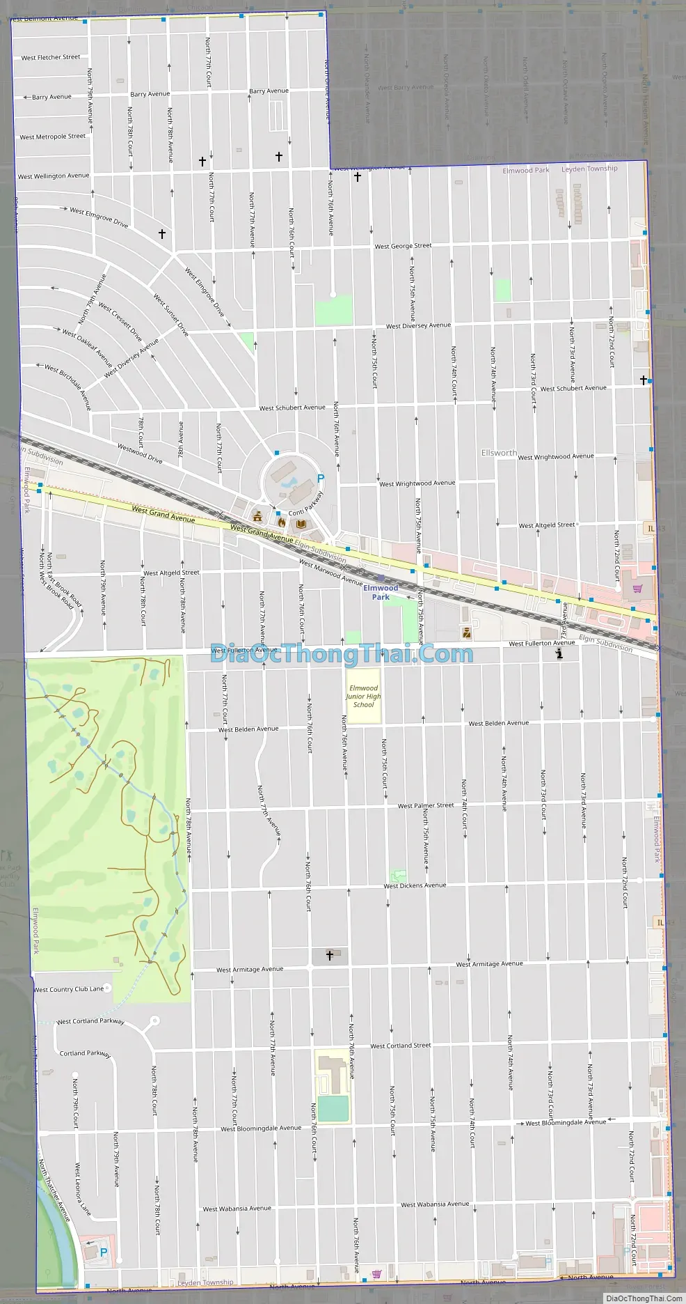
Elmwood Park Road Map
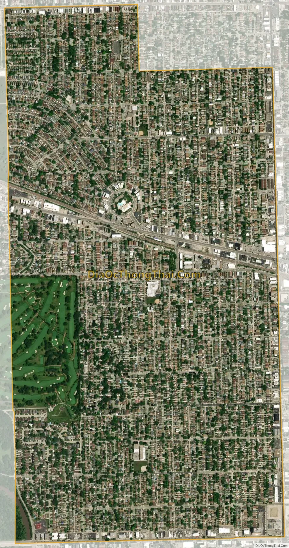
Elmwood Park city Satellite Map
Geography
According to the 2021 census gazetteer files, Elmwood Park has a total area of 1.91 square miles (4.95 km), all land.
See also
Map of Illinois State and its subdivision:- Adams
- Alexander
- Bond
- Boone
- Brown
- Bureau
- Calhoun
- Carroll
- Cass
- Champaign
- Christian
- Clark
- Clay
- Clinton
- Coles
- Cook
- Crawford
- Cumberland
- De Kalb
- De Witt
- Douglas
- Dupage
- Edgar
- Edwards
- Effingham
- Fayette
- Ford
- Franklin
- Fulton
- Gallatin
- Greene
- Grundy
- Hamilton
- Hancock
- Hardin
- Henderson
- Henry
- Iroquois
- Jackson
- Jasper
- Jefferson
- Jersey
- Jo Daviess
- Johnson
- Kane
- Kankakee
- Kendall
- Knox
- La Salle
- Lake
- Lake Michigan
- Lawrence
- Lee
- Livingston
- Logan
- Macon
- Macoupin
- Madison
- Marion
- Marshall
- Mason
- Massac
- McDonough
- McHenry
- McLean
- Menard
- Mercer
- Monroe
- Montgomery
- Morgan
- Moultrie
- Ogle
- Peoria
- Perry
- Piatt
- Pike
- Pope
- Pulaski
- Putnam
- Randolph
- Richland
- Rock Island
- Saint Clair
- Saline
- Sangamon
- Schuyler
- Scott
- Shelby
- Stark
- Stephenson
- Tazewell
- Union
- Vermilion
- Wabash
- Warren
- Washington
- Wayne
- White
- Whiteside
- Will
- Williamson
- Winnebago
- Woodford
- Alabama
- Alaska
- Arizona
- Arkansas
- California
- Colorado
- Connecticut
- Delaware
- District of Columbia
- Florida
- Georgia
- Hawaii
- Idaho
- Illinois
- Indiana
- Iowa
- Kansas
- Kentucky
- Louisiana
- Maine
- Maryland
- Massachusetts
- Michigan
- Minnesota
- Mississippi
- Missouri
- Montana
- Nebraska
- Nevada
- New Hampshire
- New Jersey
- New Mexico
- New York
- North Carolina
- North Dakota
- Ohio
- Oklahoma
- Oregon
- Pennsylvania
- Rhode Island
- South Carolina
- South Dakota
- Tennessee
- Texas
- Utah
- Vermont
- Virginia
- Washington
- West Virginia
- Wisconsin
- Wyoming


