Evergreen Park is a village in Cook County, Illinois, United States. In 2020, the population was 19,943.
| Name: | Evergreen Park village |
|---|---|
| LSAD Code: | 47 |
| LSAD Description: | village (suffix) |
| State: | Illinois |
| County: | Cook County |
| Incorporated: | 1893 |
| Total Area: | 3.16 sq mi (8.19 km²) |
| Land Area: | 3.16 sq mi (8.19 km²) |
| Water Area: | 0.00 sq mi (0.00 km²) 0% |
| Total Population: | 19,943 |
| Population Density: | 6,305.09/sq mi (2,434.72/km²) |
| Area code: | 708 |
| FIPS code: | 1724634 |
| Website: | evergreenpark-ill.com |
Online Interactive Map
Click on ![]() to view map in "full screen" mode.
to view map in "full screen" mode.
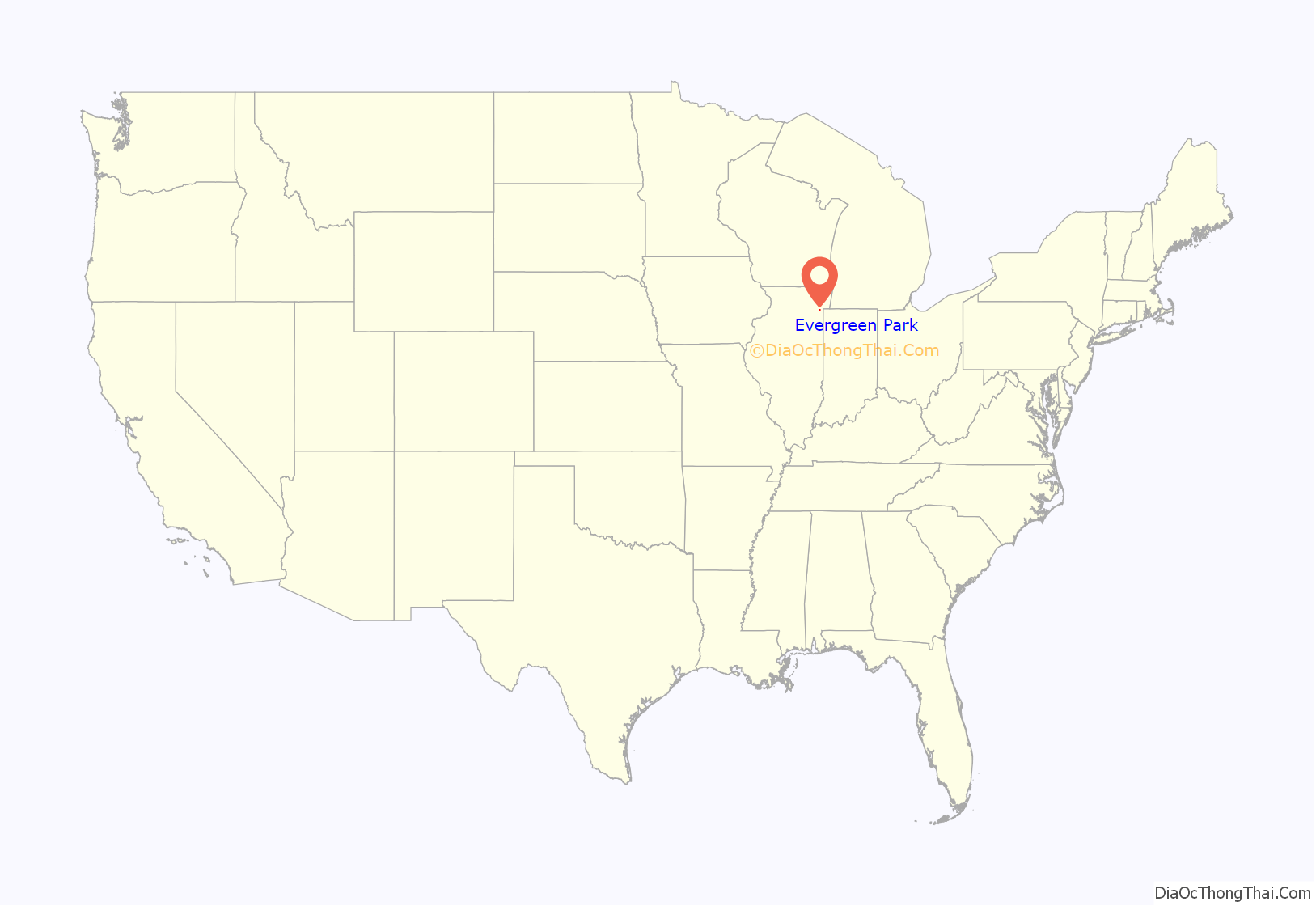
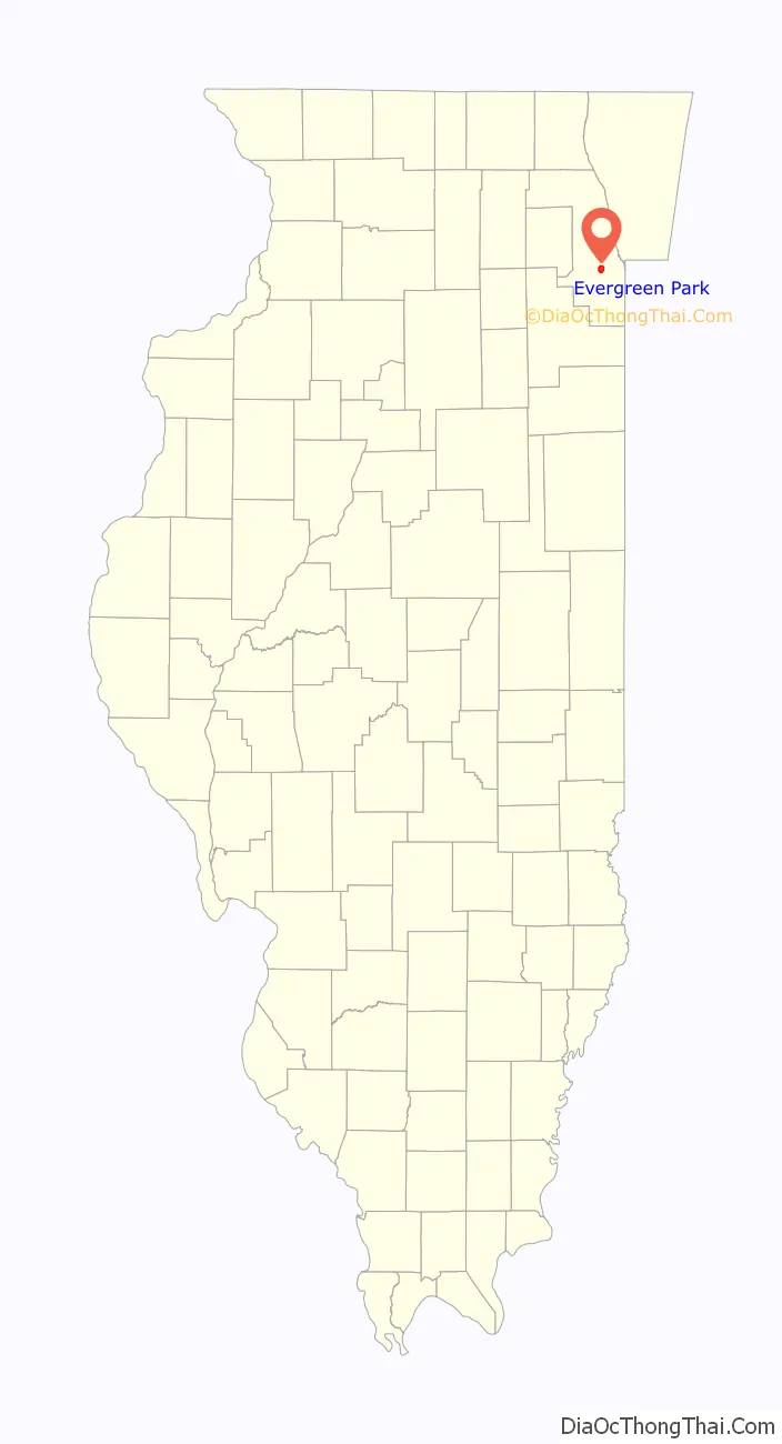
Evergreen Park location map. Where is Evergreen Park village?
History
As early as 1828, a German farming family had settled in the area of what is now Evergreen Park. In the succeeding decades, other German immigrants arrived. Kedzie Avenue and 95th Street crisscrossed the farmland and provided access to markets.
The first railroad (now the Grand Trunk Railroad) came through the area in 1873. In 1875, the community built its first school just west of 95th and Kedzie. The school and the stores that began to cluster around this intersection defined the community’s main business area. Nearby, a real-estate developer, with a vision of the Arc de Triomphe area of Paris, laid out a star-shaped park with eight streets radiating from it. The evergreen trees planted in the park inspired the village’s name. The location and layout of the park was intended to be the center of town, but 95th St and Kedzie Ave. later proved a more accurate midpoint. After the death of Mayor Henry Klein shortly after the village’s 75th anniversary, the park was renamed Klein Park in his honor.
In 1888 St. Mary’s Cemetery opened, and mourners traveled by train from Chicago. Restaurants and taverns were created to provide meals for cemetery visitors. Within five years, the village had become a recreation center that attracted hundreds of Chicagoans to its picnic groves, beer gardens, and dance halls. The first of the village’s 13 churches was established in 1893.
As a result of the financial panic of the 1890s, several surrounding communities voted to be annexed by Chicago. Realizing the current and future potential of its strong business district, and in order to avoid annexation during the serious economic crisis, The Village of Evergreen Park declared its independence and was incorporated on December 20, 1893. Prior to its incorporation, the village was sustained by approximately 500 regional residents. The final decision to incorporate as its own entity separate from the City of Chicago was made by a 41 out of 50 approval by village residents. John M. Foley, a real estate and insurance agent, became the village’s first mayor. During the 1890s, The Village of Evergreen Park officially occupied an area of four square miles; it now covers an area of the same size.
In 1899, shortly after its incorporation, the village introduced telephone services to the community. In 1910, gas and electric lines were extended into homes and street lights were erected. By 1920, most of the village’s homes had indoor plumbing, although some residents still used a well located behind the village hall as their water source.
In the early 20th century, many residents still farmed and there were many open fields within the town limits. As a result, fire was a constant threat and the water supply was scarce. In July 1918, a spark from a passing train set the original village hall on fire. Despite villagers’ attempts to douse the flames, the village hall was destroyed. In 1920, a new village hall was built and the population grew to 800.
In 1930, Little Company of Mary Hospital was opened at 95th and California. Within the first year of its inception, 232 babies were born.
In 1967, a violent and damaging F4 tornado occurred in Evergreen Park and other nearby suburbs.
While the village remains small in size, it is only seventeen miles southwest of the Loop. The Village is also currently surrounded by Chicago on the north, south, and east sides. Evergreen Park is also known as the “Village of Churches” because of its thirteen established religious congregations within close proximity.
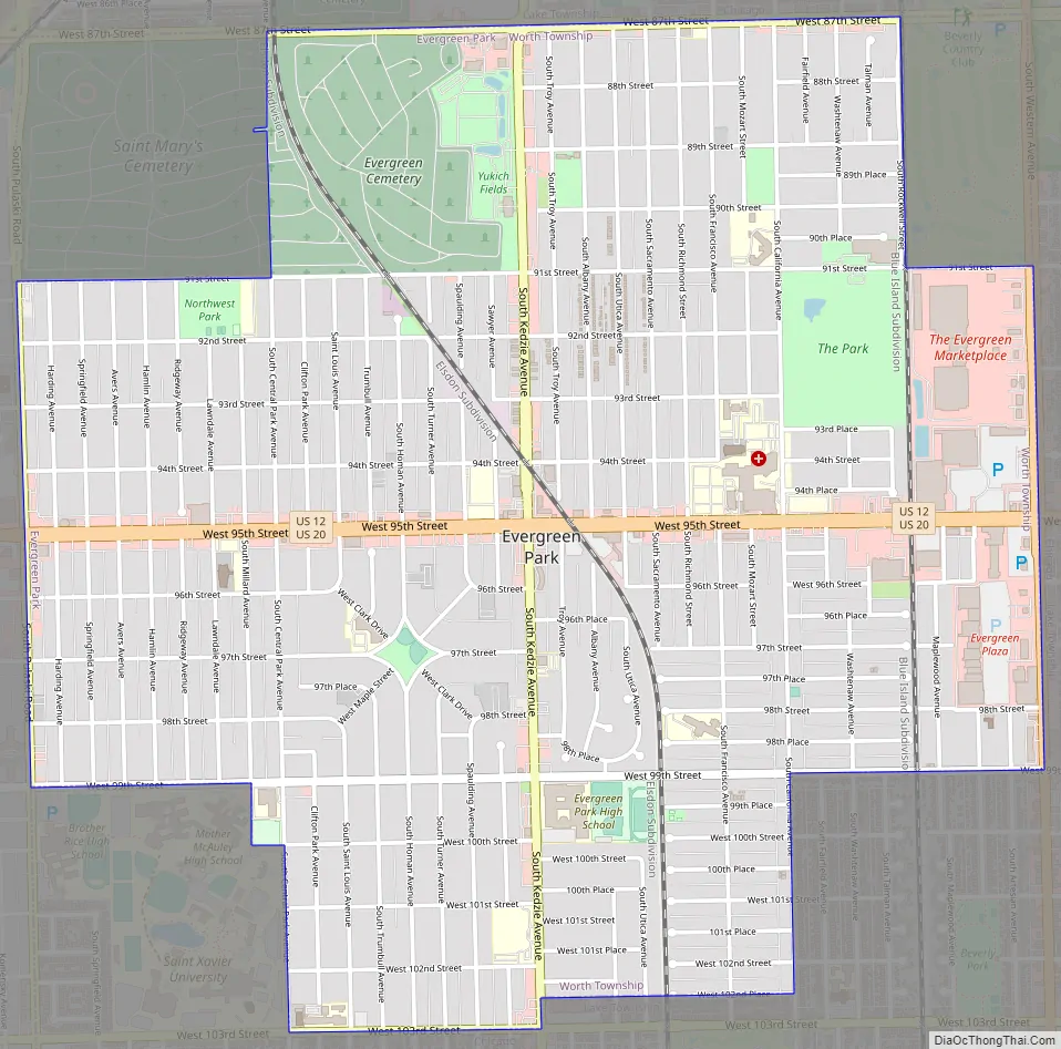
Evergreen Park Road Map
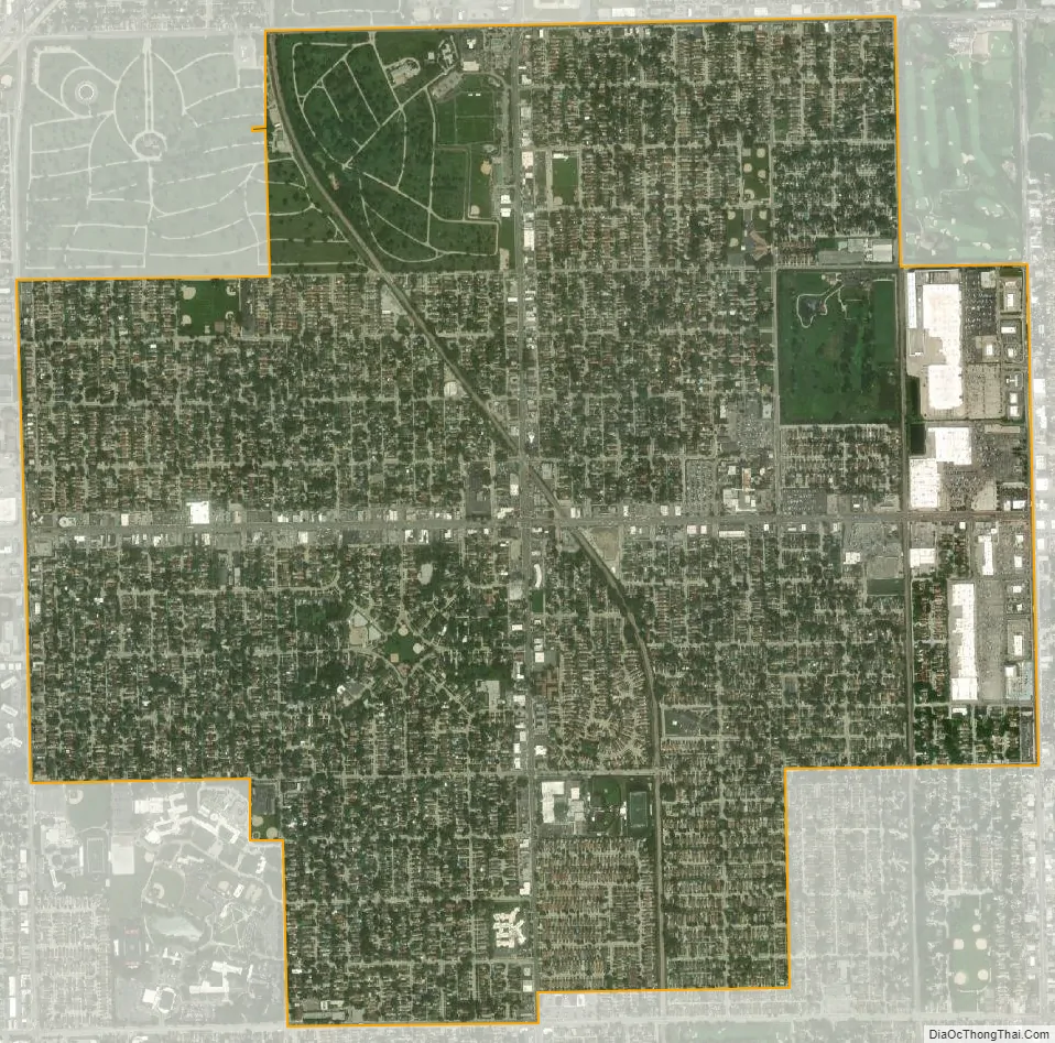
Evergreen Park city Satellite Map
Geography
Evergreen Park is located at 41°43′12″N 87°42′9″W / 41.72000°N 87.70250°W / 41.72000; -87.70250 (41.719933, −87.702499). The suburb is surrounded by the city of Chicago on three of its sides, while Oak Lawn and Hometown border it on the west. Chicago’s Ashburn community is to its north, Beverly is to its east, and Beverly and Mount Greenwood are to its south.
According to the 2021 census gazetteer files, Evergreen Park has a total area of 3.16 square miles (8.18 km),all land.
U.S. Route 12 and U.S. Route 20 bisect Evergreen Park as 95th street.
See also
Map of Illinois State and its subdivision:- Adams
- Alexander
- Bond
- Boone
- Brown
- Bureau
- Calhoun
- Carroll
- Cass
- Champaign
- Christian
- Clark
- Clay
- Clinton
- Coles
- Cook
- Crawford
- Cumberland
- De Kalb
- De Witt
- Douglas
- Dupage
- Edgar
- Edwards
- Effingham
- Fayette
- Ford
- Franklin
- Fulton
- Gallatin
- Greene
- Grundy
- Hamilton
- Hancock
- Hardin
- Henderson
- Henry
- Iroquois
- Jackson
- Jasper
- Jefferson
- Jersey
- Jo Daviess
- Johnson
- Kane
- Kankakee
- Kendall
- Knox
- La Salle
- Lake
- Lake Michigan
- Lawrence
- Lee
- Livingston
- Logan
- Macon
- Macoupin
- Madison
- Marion
- Marshall
- Mason
- Massac
- McDonough
- McHenry
- McLean
- Menard
- Mercer
- Monroe
- Montgomery
- Morgan
- Moultrie
- Ogle
- Peoria
- Perry
- Piatt
- Pike
- Pope
- Pulaski
- Putnam
- Randolph
- Richland
- Rock Island
- Saint Clair
- Saline
- Sangamon
- Schuyler
- Scott
- Shelby
- Stark
- Stephenson
- Tazewell
- Union
- Vermilion
- Wabash
- Warren
- Washington
- Wayne
- White
- Whiteside
- Will
- Williamson
- Winnebago
- Woodford
- Alabama
- Alaska
- Arizona
- Arkansas
- California
- Colorado
- Connecticut
- Delaware
- District of Columbia
- Florida
- Georgia
- Hawaii
- Idaho
- Illinois
- Indiana
- Iowa
- Kansas
- Kentucky
- Louisiana
- Maine
- Maryland
- Massachusetts
- Michigan
- Minnesota
- Mississippi
- Missouri
- Montana
- Nebraska
- Nevada
- New Hampshire
- New Jersey
- New Mexico
- New York
- North Carolina
- North Dakota
- Ohio
- Oklahoma
- Oregon
- Pennsylvania
- Rhode Island
- South Carolina
- South Dakota
- Tennessee
- Texas
- Utah
- Vermont
- Virginia
- Washington
- West Virginia
- Wisconsin
- Wyoming


