Fairbury is a city in Livingston County, Illinois, United States. The population was 3,757 at the 2010 census.
Fairbury is located on U.S. Route 24 11 miles east of Chenoa and six miles west of Forrest. It was founded in 1857. The town has a large population of members of the Apostolic Christian faith, who first settled in the area in 1864.
| Name: | Fairbury city |
|---|---|
| LSAD Code: | 25 |
| LSAD Description: | city (suffix) |
| State: | Illinois |
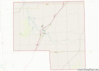
| County: | Livingston County |
| Elevation: | 682 ft (208 m) |
| Total Area: | 1.82 sq mi (4.72 km²) |
| Land Area: | 1.82 sq mi (4.70 km²) |
| Water Area: | 0.01 sq mi (0.02 km²) |
| Total Population: | 3,633 |
| Population Density: | 2,000.55/sq mi (772.22/km²) |
| Area code: | 815 |
| FIPS code: | 1724764 |
| Website: | ww2.cityoffairbury.com/wp/ |
Online Interactive Map
Click on ![]() to view map in "full screen" mode.
to view map in "full screen" mode.
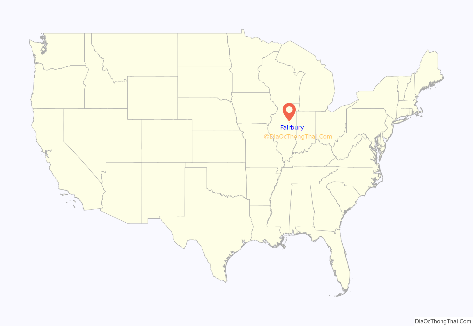
Fairbury location map. Where is Fairbury city?
History
Fairbury was laid out on November 10, 1857 by Caleb L. Patton and Octave Chanute. Like most Illinois towns of the 1850s, the original town of Fairbury was centered on a depot ground. It consisted of twenty-six blocks, each divided into fourteen to sixteen lots. There was no central public square, but one was later included in Marsh’s addition. The plan used was virtually identical to that at Chatsworth Illinois, including the street names, and the plan very similar to that at Gridley and El Paso on the same railroad.
Octave Chanute was a civil engineer employed by the new Peoria and Oquawka Railroad, which is now the Toledo, Peoria and Western Railroad. Caleb L. Patton was an early settler on the land where the town was built. Chanute, a French native, was later famed for publishing Progress in Flying Machines, which helped pioneer aviation (the Wright brothers even mentioned Chanute as a mentor to them). Chanute built the railroad that made Fairbury possible, but did so against the will of Patton, Fairbury’s first citizen.
Caleb Patton owned the land that the original town was built on, and he who advertised lots for sale and attracted other people to live there. Today, the original town’s area starts at the corner of Maple Street and First Street and stretches to the corner of Oak Street and Seventh Street. When Patton heard that Chanute wanted to build a railroad in his general direction, he saw it as an opportunity to make use of his otherwise deserted land and struck a deal. If Chanute built his railroad through Fairbury, then Patton would give Chanute half of the town’s property.
Patton and Chanute reached an agreement, and Chanute kept up his end of the deal. Patton gave a small chunk of the land to the Baptist Church and set aside an area for the railroad and a depot. However, when Chanute reached Fairbury, he was met by a group of armed citizens. The town had passed an ordinance that no railroad would pass through Fairbury, and they advised Chanute to simply build around the town (preferably where the golf course is currently). They had even received an injunction from Pontiac, Illinois forbidding Chanute from building a railroad through the town. Alma Lewis-James, author of Stuffed Clubs and Antimacassars: Account and Tales of Early Fairbury, best describes what Chanute did next:
In 1859, John Marsh bought 80 acres (320,000 m) of land to the west of Patton’s. He donated a section of his property to the town, and it was named Marsh Park. He named another part of his addition to the town Livingston Square. It was to be used for businesses and markets. He built the Arcade Block in another section, which were a series of brick buildings connected to each other. Inside this block were two saddle and harness stores, a gun and sporting goods store, a poultry house, a drug store, Fairbury Marble Works (they made tomb stones for the cemetery), and a bed spring factory. Many more businesses were located here later on. In 1866, the Livingston Hotel was built. It was renowned for being the only hotel in Illinois with running water.
Marsh did not like the east side of Fairbury and developed his west side vigorously. His addition to the town caused it to split; the east side versus the west side. Each side wanted to have the better houses, the better buildings, the better parks, the better everything. No one really knows how this feud started, but the town was clearly divided. After that devastating fire, many of the people on the east side went to work in Marsh’s west side because of all of the work opportunities over there. A new railroad was being considered, and Marsh used his power to see that it passed through only the west side of Fairbury and not through the east.
Patton sold his real estate in Fairbury years prior to this, and Wallace Amsbary was now the most prominent citizen in the east. When the railroad came to the west end of Fairbury, the tracks were laid. Marsh and his friends celebrated that Saturday evening. During the celebration, Amsbary and his friends built the railroad through the east side of Fairbury and then started it southbound towards Strawn. A train passed over the tracks the next day, and they stayed there. Amsbary celebrated his victory by building the Fairbury House, and advertised it as the “Poorest Hotel in Illinois.”
After the fire caused by the train, three more subsequent fires succeeded in destroying many parts of the town. All of them were around the railroad, and together they destroyed more than twenty buildings and houses. Additionally, every few nights someone would try to start a fire in a residential area, and sometimes succeeded. Fairbury had somehow managed to become a prime location for pyromaniacs.
Whenever a fire would erupt, the town’s fire bell rang. Currently, the bell can be found in front of the fire station on Locust Street. A fire was more of a festival than a tragedy because it seemed like whenever the bell rang, the whole town would show up to watch the fire. Fairbury wasn’t necessarily large at the time, so finding the fires was not too difficult. Soon, Fairbury became known as the most flammable town in the Midwest.
The fire era of Fairbury came to an end after the Livingston Hotel burned. Marsh blamed Amsbary for the fire, and Amsbary blamed Marsh. Both of the men filed suits against each other for arson, and then for slander. Marsh was indicted, but was found not guilty. The power that the two men held in the town quickly died down, as did the feud between the east and west sides of Fairbury. The town ceased its civil quarrel, and agreed to work with each other instead of against each other. With that, Fairbury was to become just another small town along the Toledo, Peoria, and Western Railroad.
It was in this very town that a resident and restaurant owner named Ronald McDonald was in a 26-year legal battle with McDonald’s over the name of his restaurant. He ultimately prevailed and continued using his name on his restaurant despite objections by the franchise.
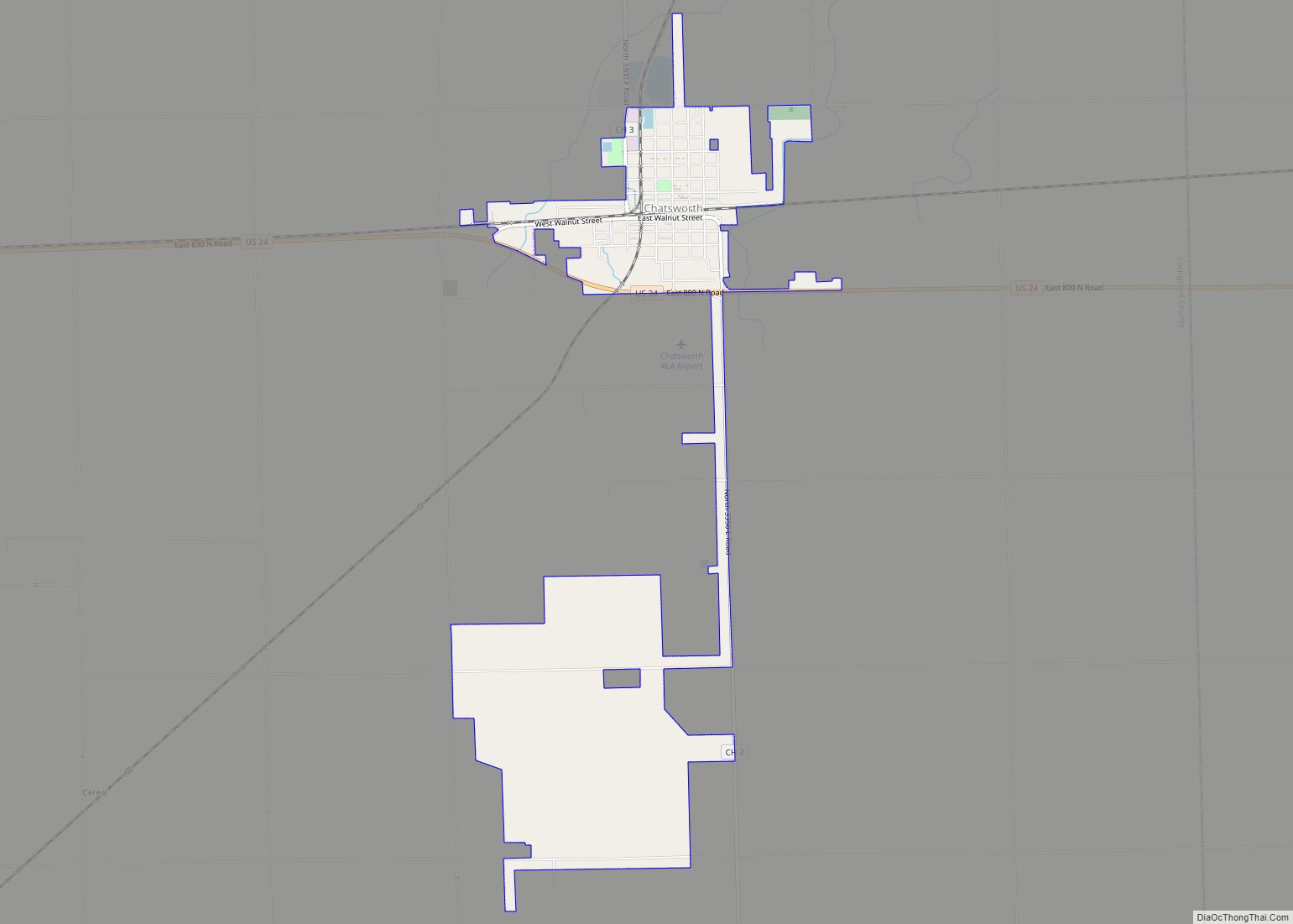
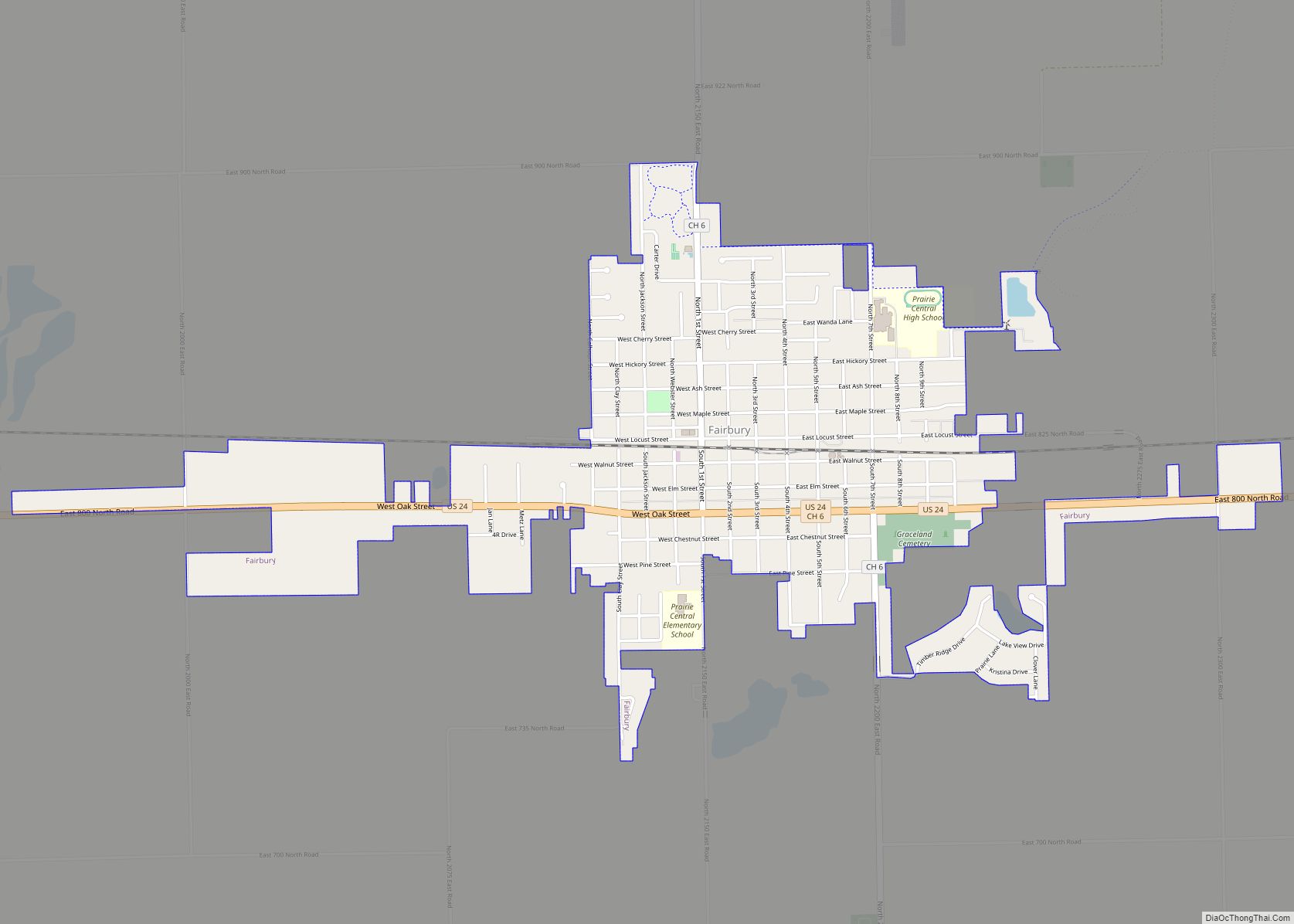
Fairbury Road Map
Fairbury city Satellite Map
Geography
Fairbury is located at 40°44′46″N 88°30′51″W / 40.746103°N 88.514092°W / 40.746103; -88.514092.
According to the 2010 census, Fairbury has a total area of 1.8 square miles (4.66 km), all land.
See also
Map of Illinois State and its subdivision:- Adams
- Alexander
- Bond
- Boone
- Brown
- Bureau
- Calhoun
- Carroll
- Cass
- Champaign
- Christian
- Clark
- Clay
- Clinton
- Coles
- Cook
- Crawford
- Cumberland
- De Kalb
- De Witt
- Douglas
- Dupage
- Edgar
- Edwards
- Effingham
- Fayette
- Ford
- Franklin
- Fulton
- Gallatin
- Greene
- Grundy
- Hamilton
- Hancock
- Hardin
- Henderson
- Henry
- Iroquois
- Jackson
- Jasper
- Jefferson
- Jersey
- Jo Daviess
- Johnson
- Kane
- Kankakee
- Kendall
- Knox
- La Salle
- Lake
- Lake Michigan
- Lawrence
- Lee
- Livingston
- Logan
- Macon
- Macoupin
- Madison
- Marion
- Marshall
- Mason
- Massac
- McDonough
- McHenry
- McLean
- Menard
- Mercer
- Monroe
- Montgomery
- Morgan
- Moultrie
- Ogle
- Peoria
- Perry
- Piatt
- Pike
- Pope
- Pulaski
- Putnam
- Randolph
- Richland
- Rock Island
- Saint Clair
- Saline
- Sangamon
- Schuyler
- Scott
- Shelby
- Stark
- Stephenson
- Tazewell
- Union
- Vermilion
- Wabash
- Warren
- Washington
- Wayne
- White
- Whiteside
- Will
- Williamson
- Winnebago
- Woodford
- Alabama
- Alaska
- Arizona
- Arkansas
- California
- Colorado
- Connecticut
- Delaware
- District of Columbia
- Florida
- Georgia
- Hawaii
- Idaho
- Illinois
- Indiana
- Iowa
- Kansas
- Kentucky
- Louisiana
- Maine
- Maryland
- Massachusetts
- Michigan
- Minnesota
- Mississippi
- Missouri
- Montana
- Nebraska
- Nevada
- New Hampshire
- New Jersey
- New Mexico
- New York
- North Carolina
- North Dakota
- Ohio
- Oklahoma
- Oregon
- Pennsylvania
- Rhode Island
- South Carolina
- South Dakota
- Tennessee
- Texas
- Utah
- Vermont
- Virginia
- Washington
- West Virginia
- Wisconsin
- Wyoming
