Flossmoor (/ˈflɒsmɔːr/) is a village in Cook County, Illinois, United States. The population was 9,704 at the 2020 census. Flossmoor is approximately 24 miles south of The Loop/Downtown Chicago. It is closely tied to neighboring Homewood, sharing a high school and park district.
| Name: | Flossmoor village |
|---|---|
| LSAD Code: | 47 |
| LSAD Description: | village (suffix) |
| State: | Illinois |
| County: | Cook County |
| Incorporated: | 1924 |
| Total Area: | 3.66 sq mi (9.48 km²) |
| Land Area: | 3.66 sq mi (9.48 km²) |
| Water Area: | 0.00 sq mi (0.00 km²) 0% |
| Total Population: | 9,704 |
| Population Density: | 2,650.64/sq mi (1,023.34/km²) |
| Area code: | 708 |
| FIPS code: | 1726571 |
| Website: | flossmoor.org |
Online Interactive Map
Click on ![]() to view map in "full screen" mode.
to view map in "full screen" mode.
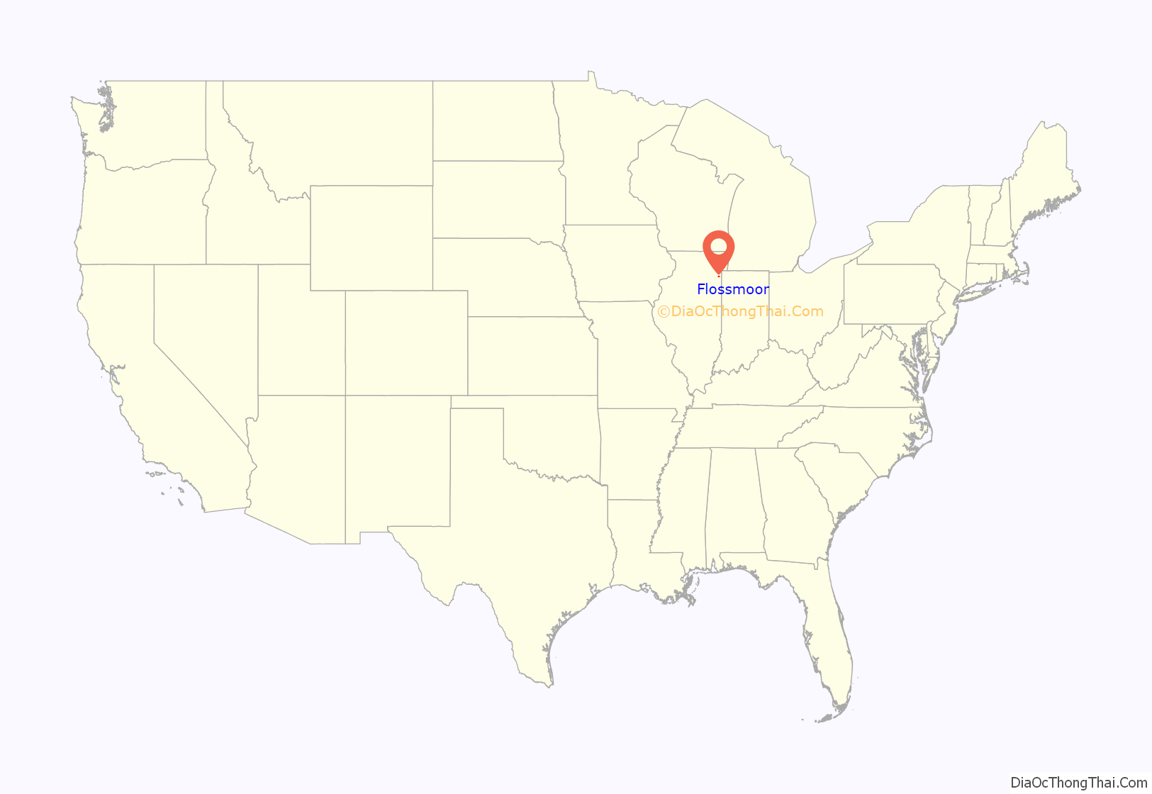
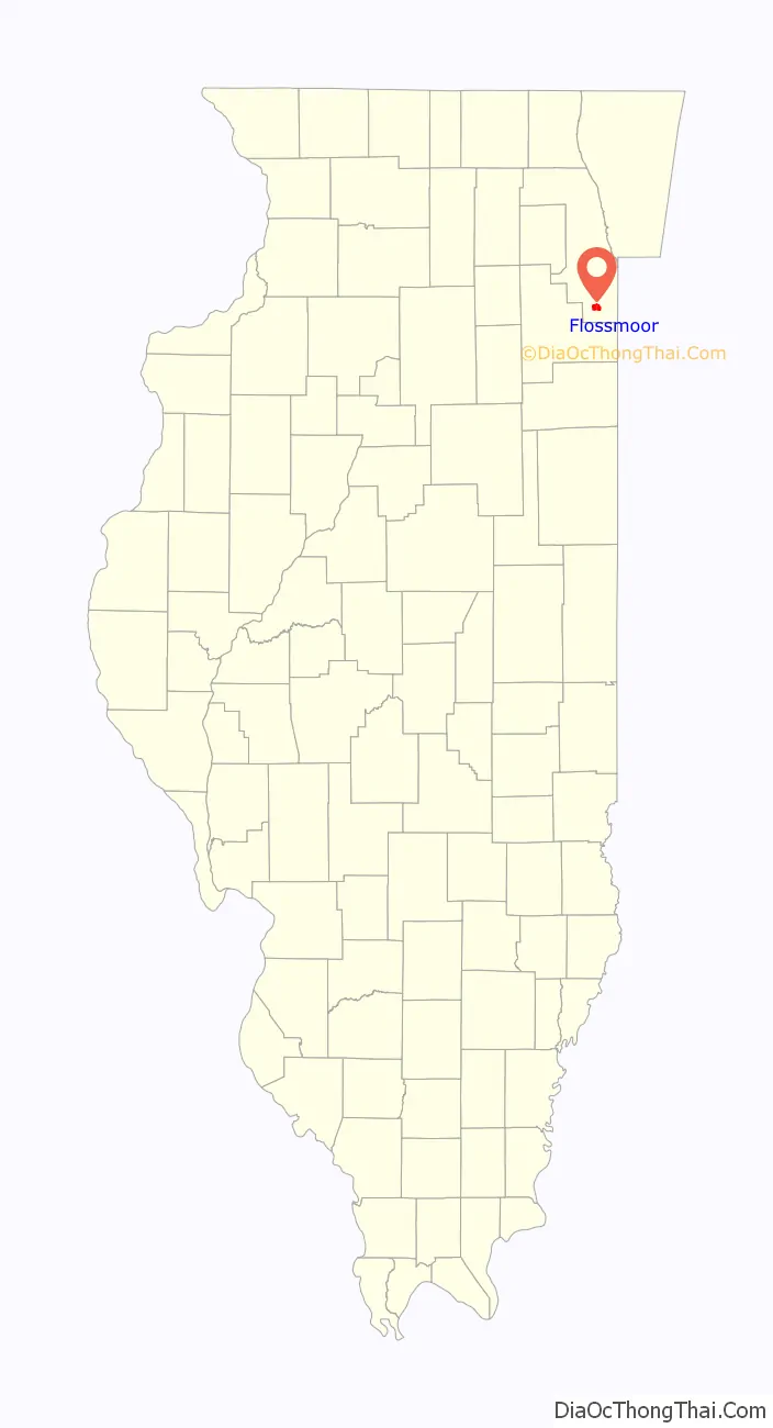
Flossmoor location map. Where is Flossmoor village?
History
Although Flossmoor’s founding and settlement can be traced to the 19th century, the city was first recognized as an affluent community in the 1920s when it became known as a cultural and recreational mecca of elite country clubs and stately golf courses.
The 1920 PGA Championship and the Western Open golf tournaments of 1906 and 1912 were held in town. Flossmoor was incorporated as a village in 1924. In the years since, Flossmoor has gained recognition from area real estate and tourist concerns as the “status” suburb of south/southwest suburban Chicago. By the 1970s, Flossmoor had transitioned from a white Protestant community to the home of many Jewish Americans and Italian Americans. As of the 2010s, Flossmoor’s population is predominantly African American.
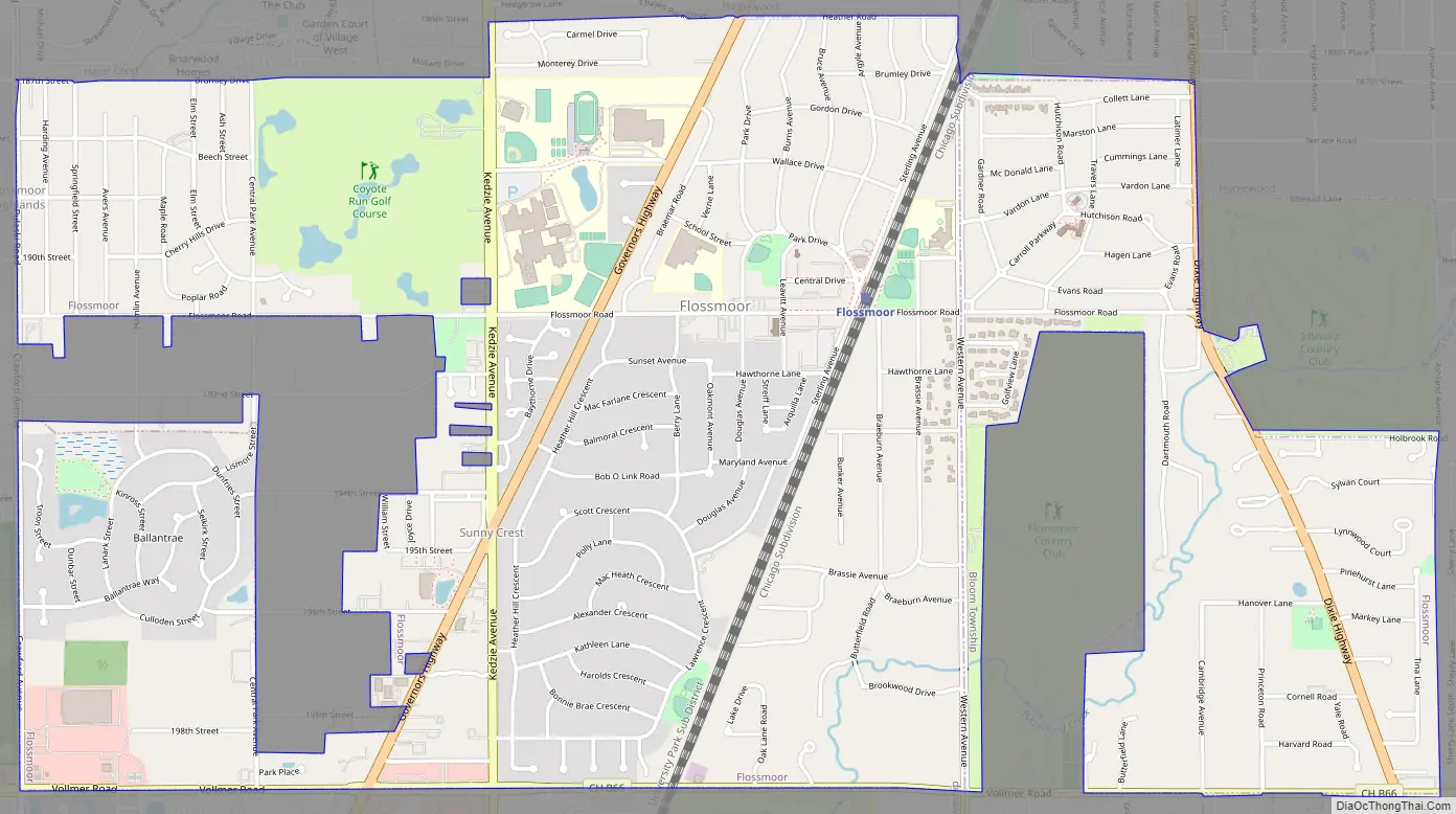
Flossmoor Road Map
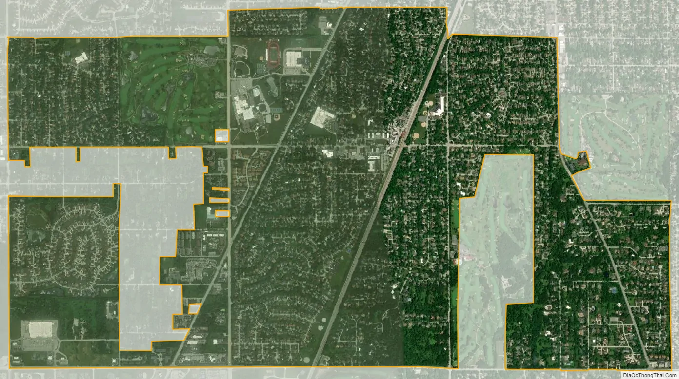
Flossmoor city Satellite Map
Geography
According to the 2021 census gazetteer files, Flossmoor has a total area of 3.66 square miles (9.48 km), all land. Flossmoor has a station on the Metra Electric Main Line, which provides access to the Chicago Loop and the University of Chicago.
See also
Map of Illinois State and its subdivision:- Adams
- Alexander
- Bond
- Boone
- Brown
- Bureau
- Calhoun
- Carroll
- Cass
- Champaign
- Christian
- Clark
- Clay
- Clinton
- Coles
- Cook
- Crawford
- Cumberland
- De Kalb
- De Witt
- Douglas
- Dupage
- Edgar
- Edwards
- Effingham
- Fayette
- Ford
- Franklin
- Fulton
- Gallatin
- Greene
- Grundy
- Hamilton
- Hancock
- Hardin
- Henderson
- Henry
- Iroquois
- Jackson
- Jasper
- Jefferson
- Jersey
- Jo Daviess
- Johnson
- Kane
- Kankakee
- Kendall
- Knox
- La Salle
- Lake
- Lake Michigan
- Lawrence
- Lee
- Livingston
- Logan
- Macon
- Macoupin
- Madison
- Marion
- Marshall
- Mason
- Massac
- McDonough
- McHenry
- McLean
- Menard
- Mercer
- Monroe
- Montgomery
- Morgan
- Moultrie
- Ogle
- Peoria
- Perry
- Piatt
- Pike
- Pope
- Pulaski
- Putnam
- Randolph
- Richland
- Rock Island
- Saint Clair
- Saline
- Sangamon
- Schuyler
- Scott
- Shelby
- Stark
- Stephenson
- Tazewell
- Union
- Vermilion
- Wabash
- Warren
- Washington
- Wayne
- White
- Whiteside
- Will
- Williamson
- Winnebago
- Woodford
- Alabama
- Alaska
- Arizona
- Arkansas
- California
- Colorado
- Connecticut
- Delaware
- District of Columbia
- Florida
- Georgia
- Hawaii
- Idaho
- Illinois
- Indiana
- Iowa
- Kansas
- Kentucky
- Louisiana
- Maine
- Maryland
- Massachusetts
- Michigan
- Minnesota
- Mississippi
- Missouri
- Montana
- Nebraska
- Nevada
- New Hampshire
- New Jersey
- New Mexico
- New York
- North Carolina
- North Dakota
- Ohio
- Oklahoma
- Oregon
- Pennsylvania
- Rhode Island
- South Carolina
- South Dakota
- Tennessee
- Texas
- Utah
- Vermont
- Virginia
- Washington
- West Virginia
- Wisconsin
- Wyoming


