Foosland is a village in Champaign County, Illinois, United States. The population was 75 at the 2020 census. The village is named after William Foos, who owned 3,500 acres in the area in the 1840s.
| Name: | Foosland village |
|---|---|
| LSAD Code: | 47 |
| LSAD Description: | village (suffix) |
| State: | Illinois |
| County: | Champaign County |
| Elevation: | 735 ft (224 m) |
| Total Area: | 0.07 sq mi (0.18 km²) |
| Land Area: | 0.07 sq mi (0.18 km²) |
| Water Area: | 0.00 sq mi (0.00 km²) |
| Total Population: | 75 |
| Population Density: | 1,086.96/sq mi (422.64/km²) |
| Area code: | 217 |
| FIPS code: | 1726662 |
Online Interactive Map
Click on ![]() to view map in "full screen" mode.
to view map in "full screen" mode.
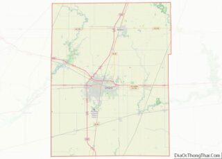
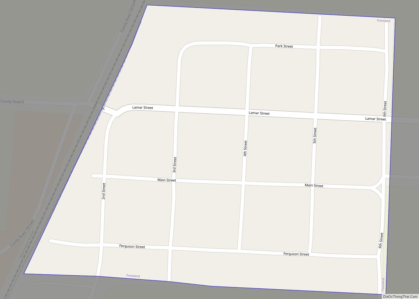
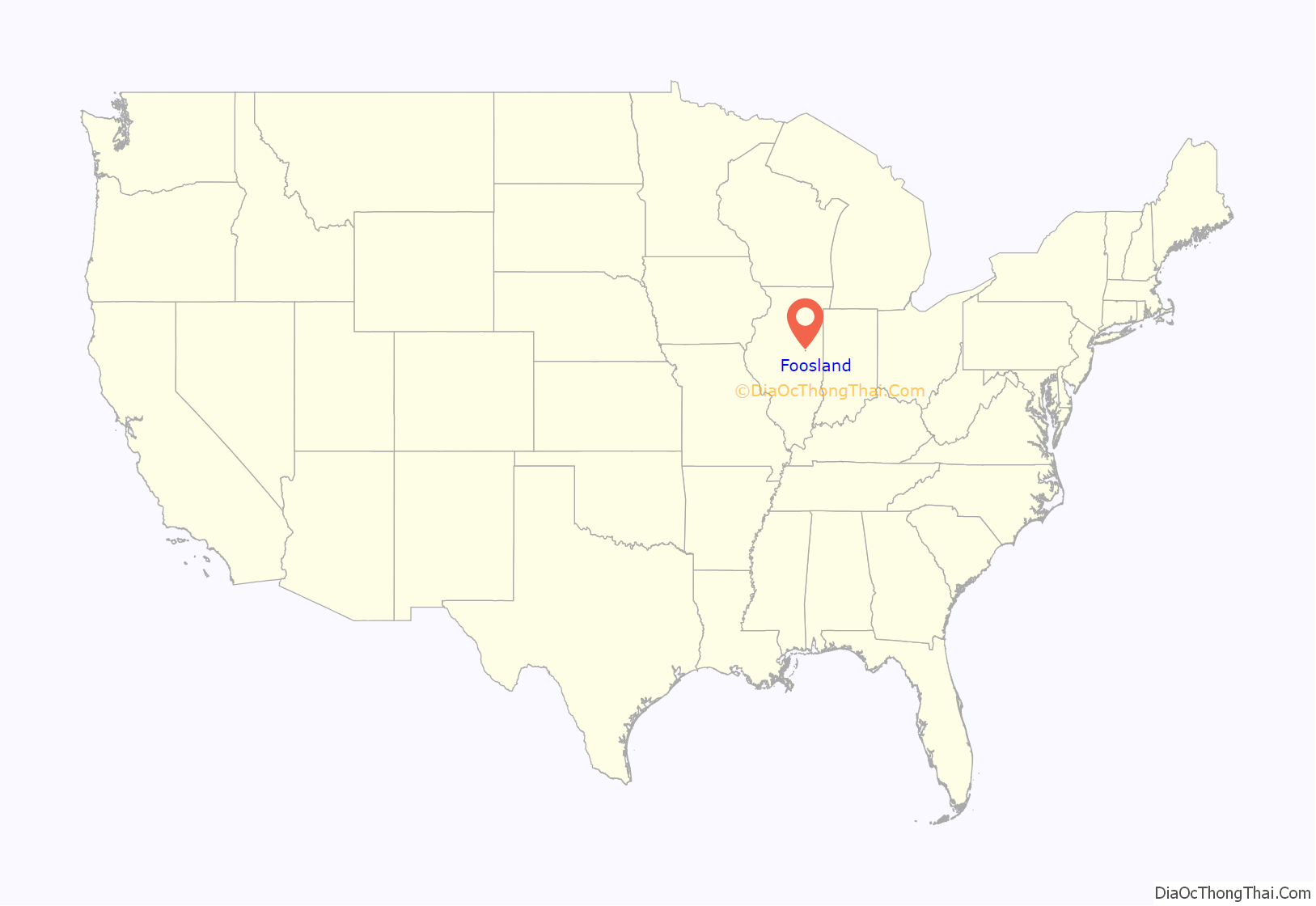
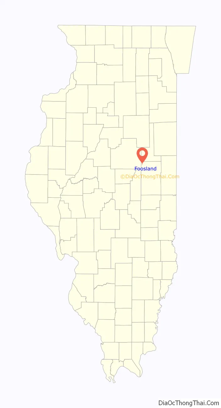
Foosland location map. Where is Foosland village?
History
Foosland was founded in 1874 and a post office was established on June 19 that year. The town is named after William Foos, an Ohioan who was instrumental in the establishment of the town, and in the placement there of a station of the Chicago-Paducah railroad. He bought and drained about 3,500 acres of nearby land and, through a local superintendent, managed a tenant farming operation. Foosland was incorporated in 1959. Champaign County Judge Frederick S. Green approved a canvass of votes of elected officers. The first mayor was Paul Verkler.
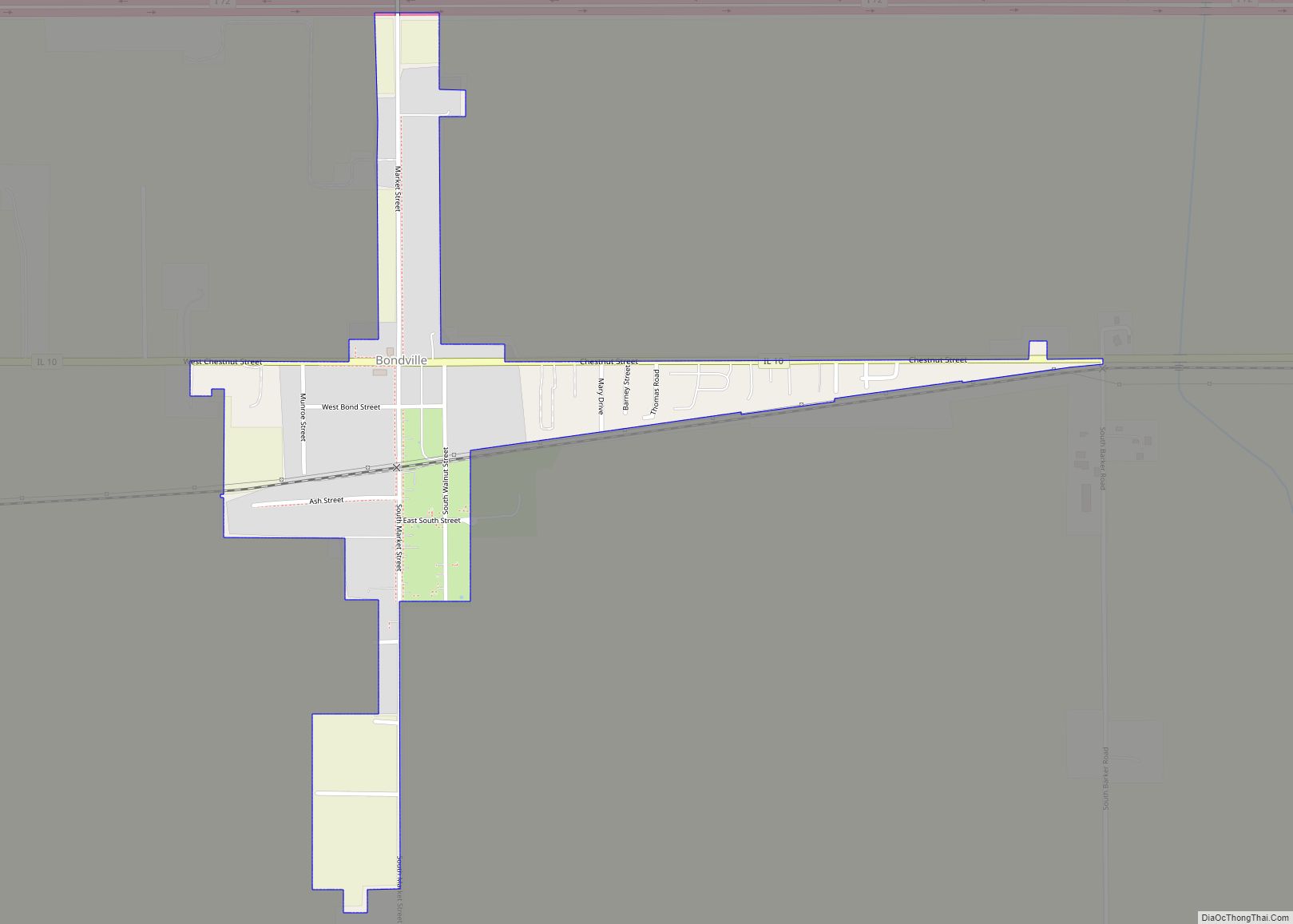
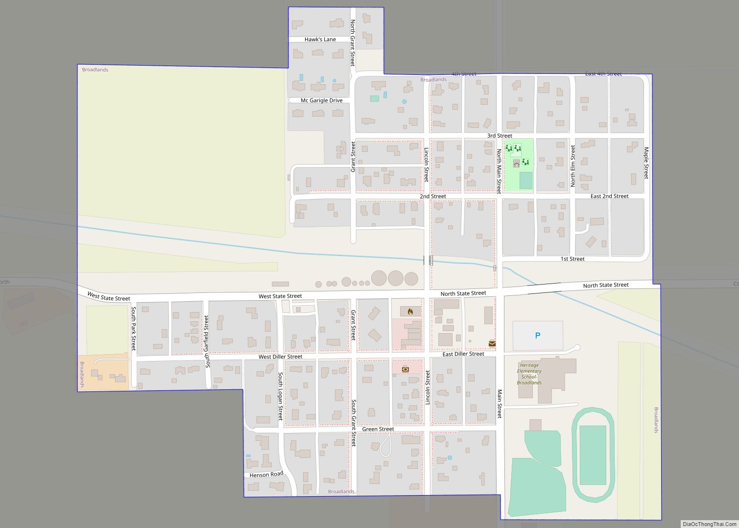
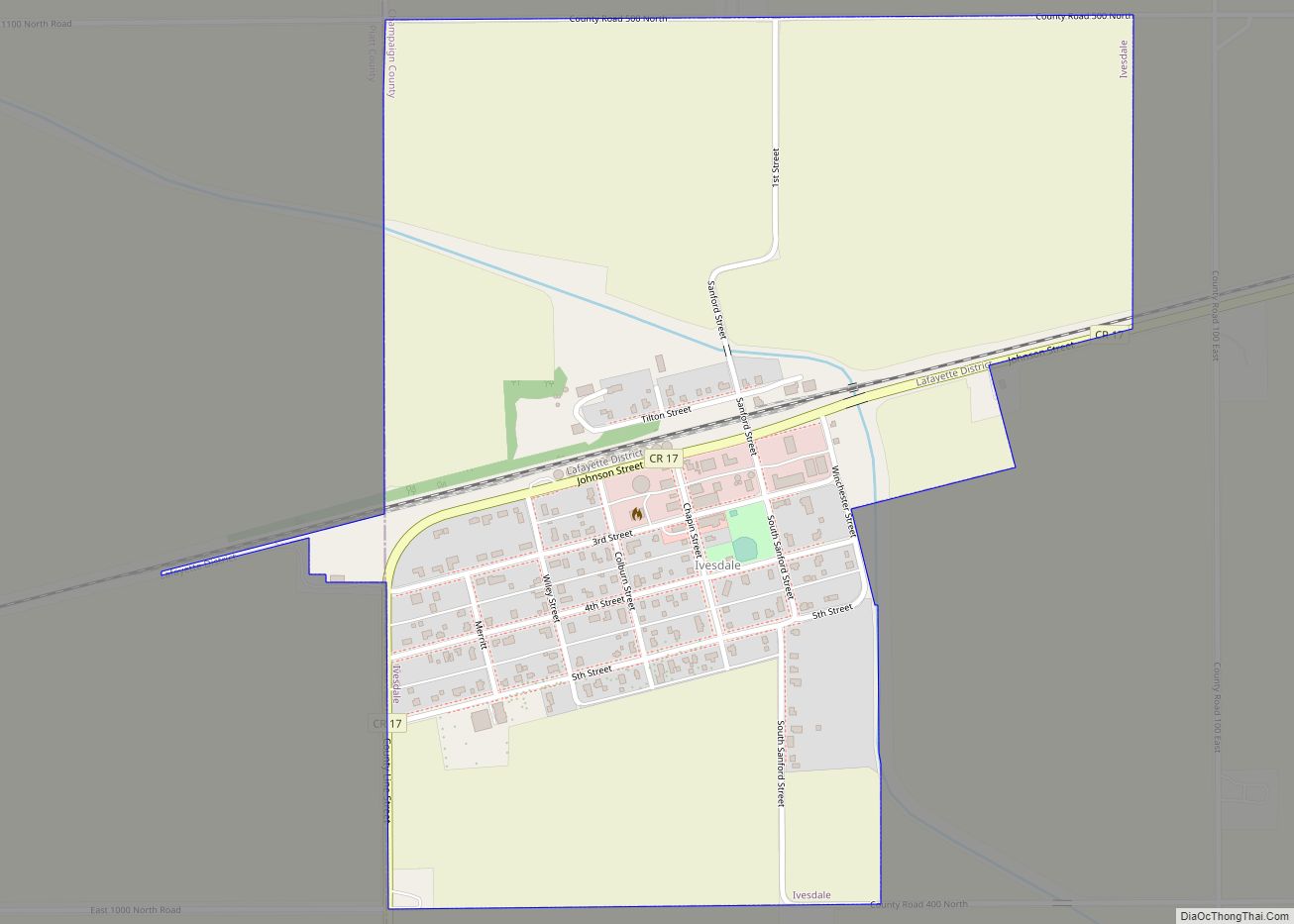
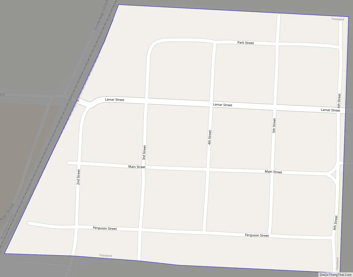
Foosland Road Map
Foosland city Satellite Map
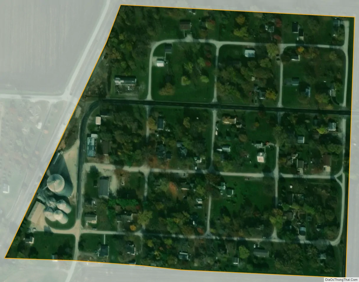
Geography
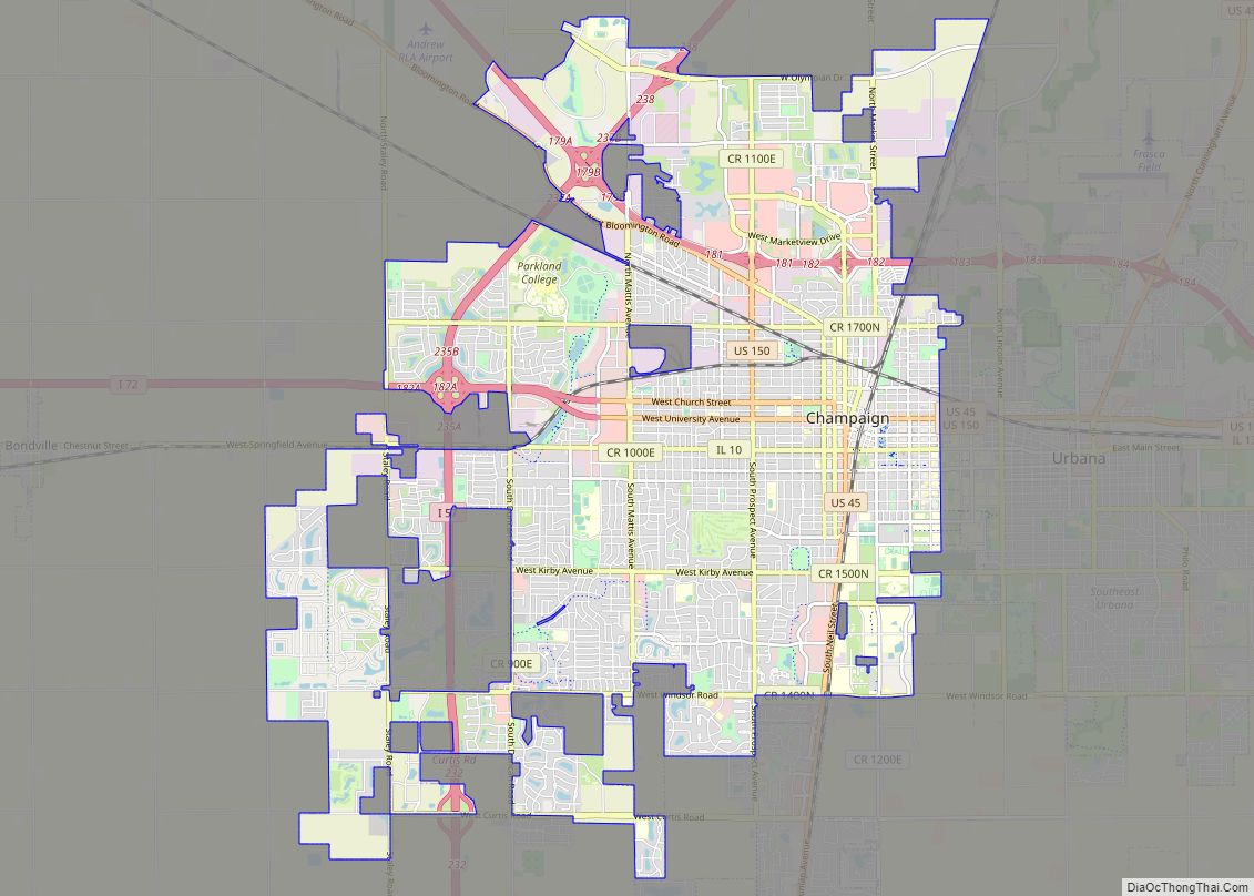
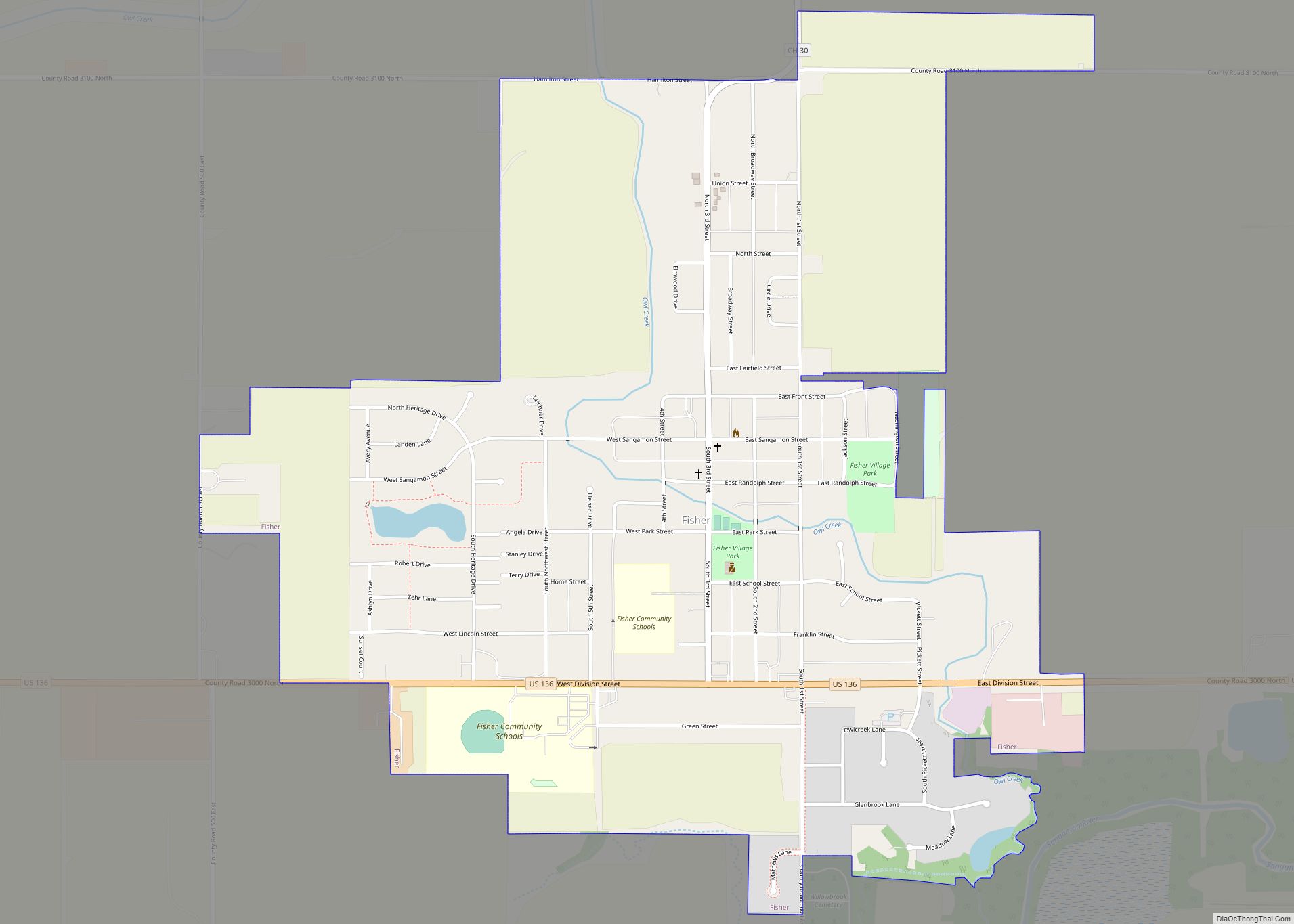
Foosland is located in the northwest corner of Champaign County three miles southeast of Illinois Route 54. Gibson City lies nine miles to the northeast along Route 54 and Champaign is approximately 22 miles to the southeast. Lone Tree Creek, a tributary to the Sangamon River, flows past the south side of the community.
According to the 2021 census gazetteer files, Foosland has a total area of 0.07 square miles (0.18 km), all land.
See also
Map of Illinois State and its subdivision:- Adams
- Alexander
- Bond
- Boone
- Brown
- Bureau
- Calhoun
- Carroll
- Cass
- Champaign
- Christian
- Clark
- Clay
- Clinton
- Coles
- Cook
- Crawford
- Cumberland
- De Kalb
- De Witt
- Douglas
- Dupage
- Edgar
- Edwards
- Effingham
- Fayette
- Ford
- Franklin
- Fulton
- Gallatin
- Greene
- Grundy
- Hamilton
- Hancock
- Hardin
- Henderson
- Henry
- Iroquois
- Jackson
- Jasper
- Jefferson
- Jersey
- Jo Daviess
- Johnson
- Kane
- Kankakee
- Kendall
- Knox
- La Salle
- Lake
- Lake Michigan
- Lawrence
- Lee
- Livingston
- Logan
- Macon
- Macoupin
- Madison
- Marion
- Marshall
- Mason
- Massac
- McDonough
- McHenry
- McLean
- Menard
- Mercer
- Monroe
- Montgomery
- Morgan
- Moultrie
- Ogle
- Peoria
- Perry
- Piatt
- Pike
- Pope
- Pulaski
- Putnam
- Randolph
- Richland
- Rock Island
- Saint Clair
- Saline
- Sangamon
- Schuyler
- Scott
- Shelby
- Stark
- Stephenson
- Tazewell
- Union
- Vermilion
- Wabash
- Warren
- Washington
- Wayne
- White
- Whiteside
- Will
- Williamson
- Winnebago
- Woodford
- Alabama
- Alaska
- Arizona
- Arkansas
- California
- Colorado
- Connecticut
- Delaware
- District of Columbia
- Florida
- Georgia
- Hawaii
- Idaho
- Illinois
- Indiana
- Iowa
- Kansas
- Kentucky
- Louisiana
- Maine
- Maryland
- Massachusetts
- Michigan
- Minnesota
- Mississippi
- Missouri
- Montana
- Nebraska
- Nevada
- New Hampshire
- New Jersey
- New Mexico
- New York
- North Carolina
- North Dakota
- Ohio
- Oklahoma
- Oregon
- Pennsylvania
- Rhode Island
- South Carolina
- South Dakota
- Tennessee
- Texas
- Utah
- Vermont
- Virginia
- Washington
- West Virginia
- Wisconsin
- Wyoming