Glenview is an incorporated village located in Cook County, Illinois, United States, approximately 15 miles northwest of the Chicago Loop. Per the 2020 census, the population was 48,705. The current Village President is Michael Jenny.
| Name: | Glenview village |
|---|---|
| LSAD Code: | 47 |
| LSAD Description: | village (suffix) |
| State: | Illinois |
| County: | Cook County |
| Incorporated: | 1899 |
| Total Area: | 14.04 sq mi (36.37 km²) |
| Land Area: | 14.00 sq mi (36.26 km²) |
| Water Area: | 0.04 sq mi (0.11 km²) 0.29% |
| Total Population: | 48,705 |
| Population Density: | 3,478.68/sq mi (1,343.11/km²) |
| Area code: | 847 & 224 |
| FIPS code: | 1729938 |
| Website: | www.glenview.il.us |
Online Interactive Map
Click on ![]() to view map in "full screen" mode.
to view map in "full screen" mode.
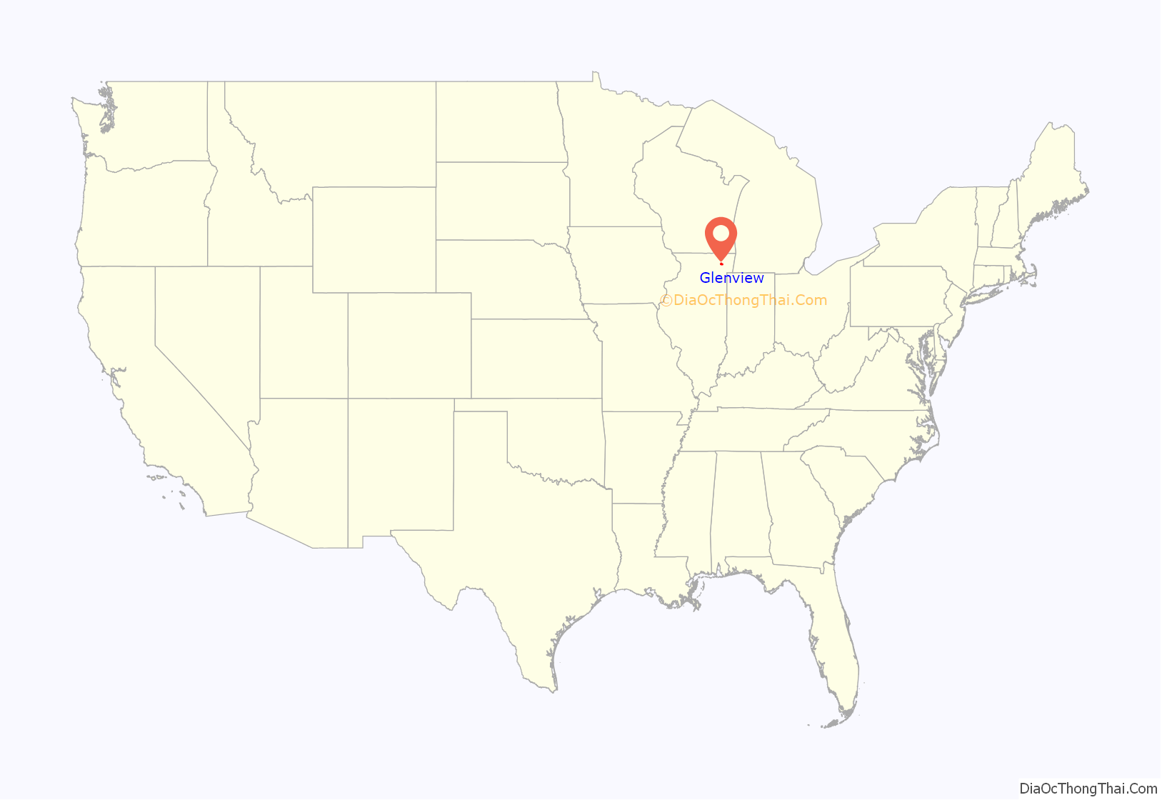
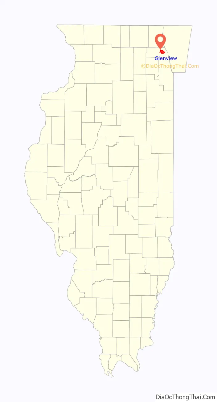
Glenview location map. Where is Glenview village?
History
The entire Northfield Township originally was known as the town of Northfield. There were different names for various areas within the community. The Post Office demanded that an official name be selected, whereupon a special meeting of the villagers was called. Various names were suggested such as Rugenville, Glenvarr, Glendale, Glengrove, Glen Hollow, Oak View, and Glenview. The name Glenview won the majority vote on May 7, 1895. The village was incorporated in 1899. Much of the Glenview area remained farmland but after World War II, developers such as Tom Sullivan began to give the township its current suburban appearance.
The Park
“The Park” is one of the oldest neighborhoods in the village. Located near the center of Glenview, just south of the Glen development, The Park was established as home to a religious society in 1894 by Hugh Burnham, the first village president and nephew of architect Daniel Burnham. This religious society is based on the writings of Emanuel Swedenborg a scientist and theologian who lived and wrote in the 1700s. In the late 1890s through the turn of the century, New Church members purchased 40 acres of land and built their houses in an oval surrounding a common park area where the church and school were built. Architect Swain Nelson, one of the designers of Lincoln Park, designed the neighborhood.
As part of the New Church service mission to be universally accepted as a guidepost for kindness and character, today, the Glenview New Church Schools are open to many students beyond the congregation and the church has been updated and expanded to accommodate a much larger Sunday service. Despite its new open focus and broadening congregation, the original church in the center and many of the surrounding buildings remain the same today as they were in 1900.
Naval Air Station Glenview was a major facility in Glenview for many years. It was host to a number of squadrons, including the Coast Guard air/sea rescue helicopter service for Chicago/Lake Michigan and a squadron of P-3 Orions which had the mission of East Coast antisubmarine warfare. The rationale for basing the squadron there was that so many reserve staff were in the central United States, and it was convenient to base the facility near the staff. As a 1−2 hour checklist had to be executed before scanning the seas, there was actually little dead time in the flight to the coast. The base consisted of 1 million cubic yards (800,000 m) of concrete, 1.5 miles (2.4 km) of runways and 108 U.S. Navy buildings. The only two buildings that are left from the naval airstation are the pilot tower and the chapel. The rest has been renovated into “The Glen Town Center” which is a shopping center.
The Glen
In 1995, the base was closed as part of the Base Realignment and Closure military restructuring process. The land was deeded back to Glenview by the U.S. Department of Defense. A reuse plan was completed by the Village of Glenview in 1995 and updated into a master plan by Skidmore, Owings & Merrill in 1998. The village then assumed the role of Master Developer. The 1,121-acre (4.54 km) development was named “The Glen” in 1999. It comprises approximately 15% of the area of Glenview. It contains new homes, offices, and shopping centers, including a movie theater and The Glen Town Center. Among other amenities, it includes a lake, soccer fields, tennis courts, walking and biking trails, two golf courses, Kohl Children’s Museum, the Glenview Park District Park Center, Attea Middle School, and the North Glenview Metra station.
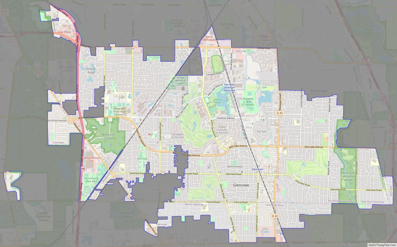
Glenview Road Map
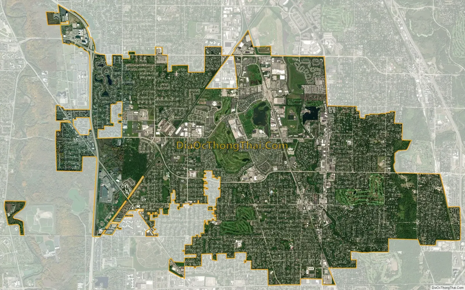
Glenview city Satellite Map
Geography
Glenview is located at 42°4′46″N 87°48′56″W / 42.07944°N 87.81556°W / 42.07944; -87.81556 (42.079391, -87.815622).
According to the 2021 census gazetteer files, Glenview has a total area of 14.04 square miles (36.36 km), of which 14.00 square miles (36.26 km) (or 99.70%) is land and 0.04 square miles (0.10 km) (or 0.30%) is water. Glenview Creek drains the southeastern corner of the village, emptying into the Middle Fork of the North Branch of the Chicago River north of Old Orchard Road and just west of Harms Road.
Addresses in the Glenview city limits have their own numbering system. However, a small portion of Glenview, mostly at the northwestern corner of Milwaukee Avenue and Greenwood Road, have postal addresses that follow the Chicago numbering system, while unincorporated areas that have Glenview postal addresses don’t use either Glenview’s or Chicago’s numbering system.
See also
Map of Illinois State and its subdivision:- Adams
- Alexander
- Bond
- Boone
- Brown
- Bureau
- Calhoun
- Carroll
- Cass
- Champaign
- Christian
- Clark
- Clay
- Clinton
- Coles
- Cook
- Crawford
- Cumberland
- De Kalb
- De Witt
- Douglas
- Dupage
- Edgar
- Edwards
- Effingham
- Fayette
- Ford
- Franklin
- Fulton
- Gallatin
- Greene
- Grundy
- Hamilton
- Hancock
- Hardin
- Henderson
- Henry
- Iroquois
- Jackson
- Jasper
- Jefferson
- Jersey
- Jo Daviess
- Johnson
- Kane
- Kankakee
- Kendall
- Knox
- La Salle
- Lake
- Lake Michigan
- Lawrence
- Lee
- Livingston
- Logan
- Macon
- Macoupin
- Madison
- Marion
- Marshall
- Mason
- Massac
- McDonough
- McHenry
- McLean
- Menard
- Mercer
- Monroe
- Montgomery
- Morgan
- Moultrie
- Ogle
- Peoria
- Perry
- Piatt
- Pike
- Pope
- Pulaski
- Putnam
- Randolph
- Richland
- Rock Island
- Saint Clair
- Saline
- Sangamon
- Schuyler
- Scott
- Shelby
- Stark
- Stephenson
- Tazewell
- Union
- Vermilion
- Wabash
- Warren
- Washington
- Wayne
- White
- Whiteside
- Will
- Williamson
- Winnebago
- Woodford
- Alabama
- Alaska
- Arizona
- Arkansas
- California
- Colorado
- Connecticut
- Delaware
- District of Columbia
- Florida
- Georgia
- Hawaii
- Idaho
- Illinois
- Indiana
- Iowa
- Kansas
- Kentucky
- Louisiana
- Maine
- Maryland
- Massachusetts
- Michigan
- Minnesota
- Mississippi
- Missouri
- Montana
- Nebraska
- Nevada
- New Hampshire
- New Jersey
- New Mexico
- New York
- North Carolina
- North Dakota
- Ohio
- Oklahoma
- Oregon
- Pennsylvania
- Rhode Island
- South Carolina
- South Dakota
- Tennessee
- Texas
- Utah
- Vermont
- Virginia
- Washington
- West Virginia
- Wisconsin
- Wyoming


