Glenwood is a village in Cook County, Illinois, United States. The population was 8,662 at the 2020 census.
| Name: | Glenwood village |
|---|---|
| LSAD Code: | 47 |
| LSAD Description: | village (suffix) |
| State: | Illinois |
| County: | Cook County |
| Incorporated: | 1903 |
| Total Area: | 3.26 sq mi (8.45 km²) |
| Land Area: | 3.26 sq mi (8.45 km²) |
| Water Area: | 0.00 sq mi (0.00 km²) 0% |
| Total Population: | 8,662 |
| Population Density: | 2,653.80/sq mi (1,024.57/km²) |
| Area code: | 708 |
| FIPS code: | 1730029 |
| Website: | villageofglenwood.com |
Online Interactive Map
Click on ![]() to view map in "full screen" mode.
to view map in "full screen" mode.
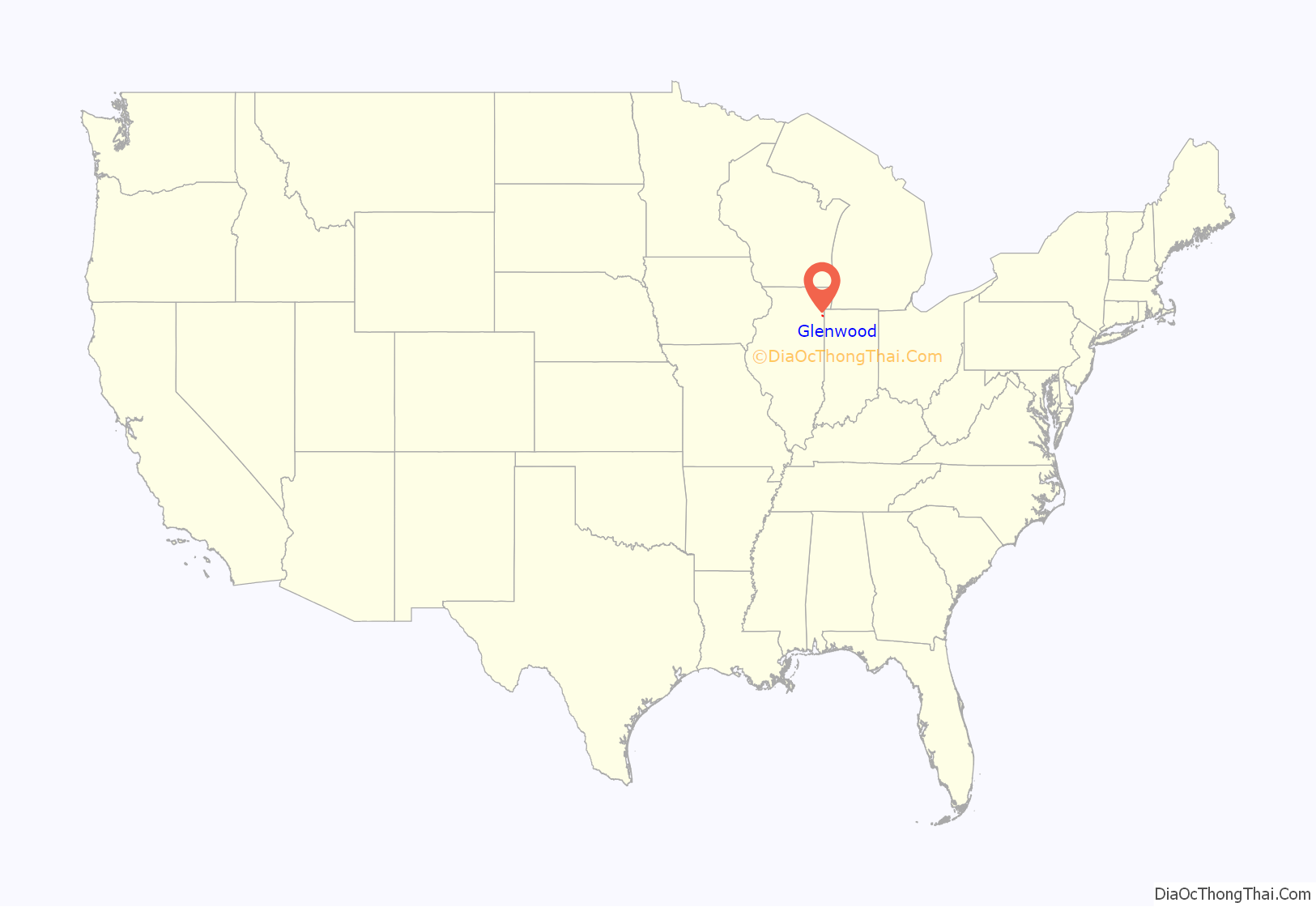
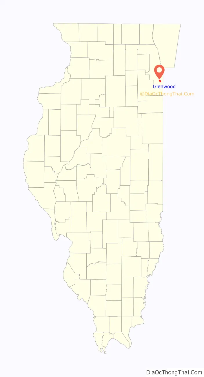
Glenwood location map. Where is Glenwood village?
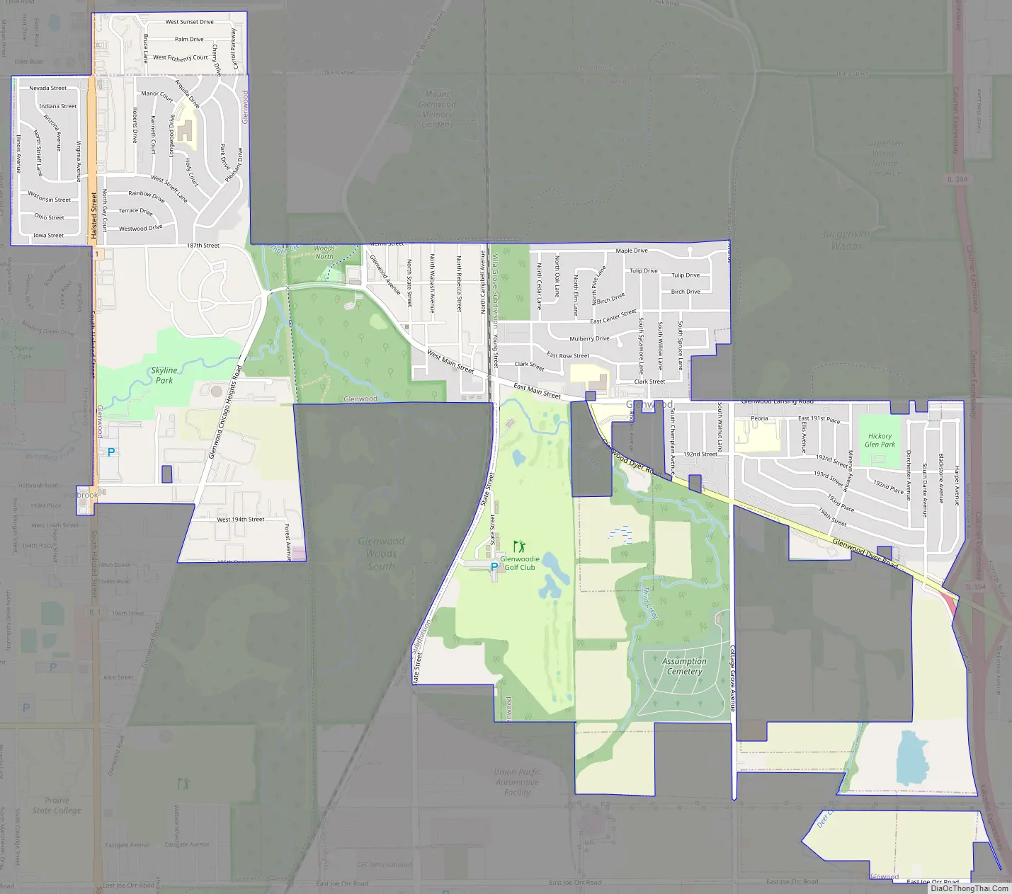
Glenwood Road Map
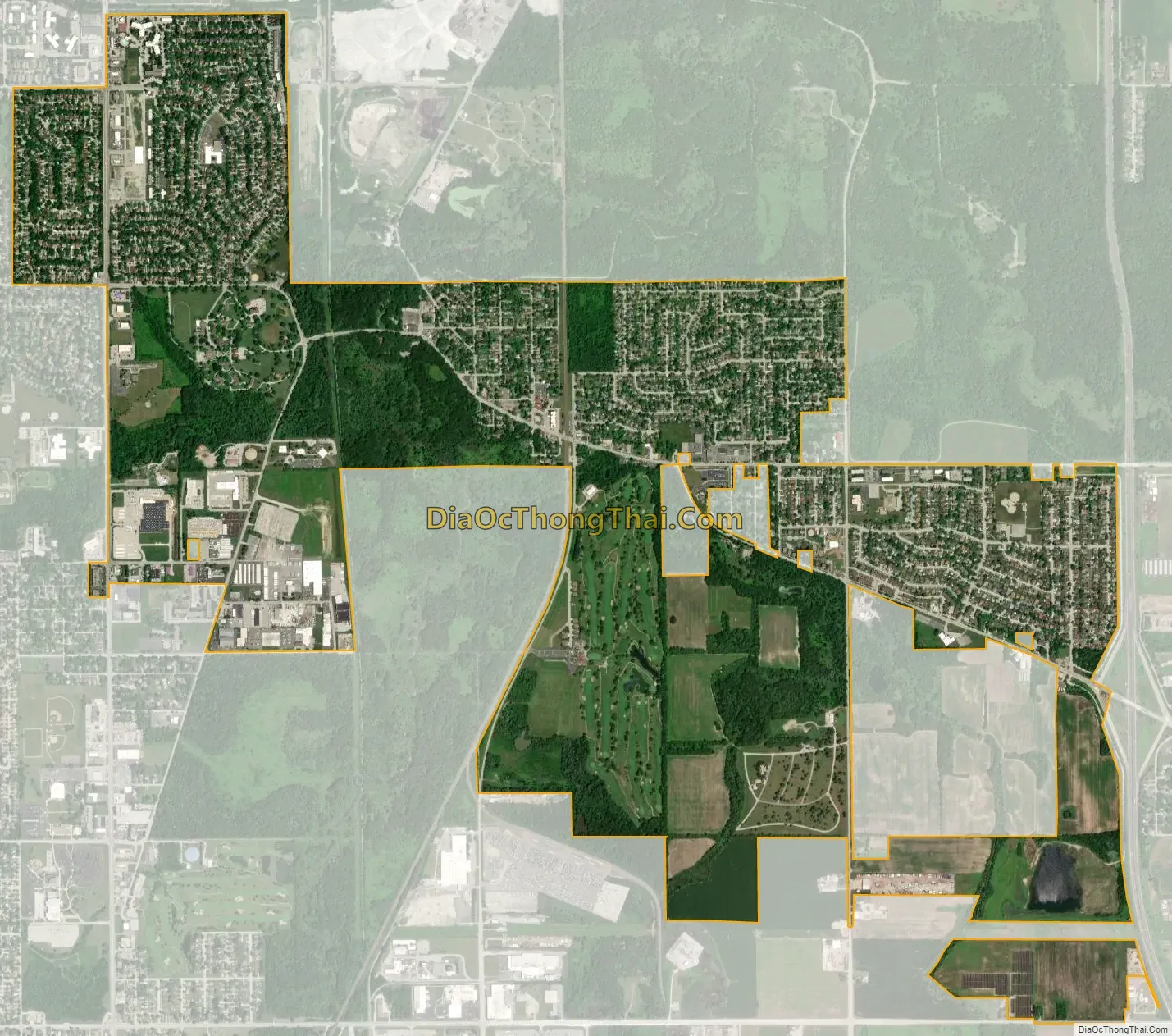
Glenwood city Satellite Map
Geography
Glenwood is located at 41°32′42″N 87°36′43″W / 41.54500°N 87.61194°W / 41.54500; -87.61194 (41.544943, -87.612052).
According to the 2021 census gazetteer files, Glenwood has a total area of 3.26 square miles (8.44 km), all land.
The Glenwood Shoreline, an ancient shoreline of Lake Chicago, is within the village. The village is almost completely surrounded by forest preserves, as is the nearby village of Thornton.
The neighboring villages are Homewood to the west, Thornton to the north, Lynwood to the east, and Ford Heights and Chicago Heights to the south.
See also
Map of Illinois State and its subdivision:- Adams
- Alexander
- Bond
- Boone
- Brown
- Bureau
- Calhoun
- Carroll
- Cass
- Champaign
- Christian
- Clark
- Clay
- Clinton
- Coles
- Cook
- Crawford
- Cumberland
- De Kalb
- De Witt
- Douglas
- Dupage
- Edgar
- Edwards
- Effingham
- Fayette
- Ford
- Franklin
- Fulton
- Gallatin
- Greene
- Grundy
- Hamilton
- Hancock
- Hardin
- Henderson
- Henry
- Iroquois
- Jackson
- Jasper
- Jefferson
- Jersey
- Jo Daviess
- Johnson
- Kane
- Kankakee
- Kendall
- Knox
- La Salle
- Lake
- Lake Michigan
- Lawrence
- Lee
- Livingston
- Logan
- Macon
- Macoupin
- Madison
- Marion
- Marshall
- Mason
- Massac
- McDonough
- McHenry
- McLean
- Menard
- Mercer
- Monroe
- Montgomery
- Morgan
- Moultrie
- Ogle
- Peoria
- Perry
- Piatt
- Pike
- Pope
- Pulaski
- Putnam
- Randolph
- Richland
- Rock Island
- Saint Clair
- Saline
- Sangamon
- Schuyler
- Scott
- Shelby
- Stark
- Stephenson
- Tazewell
- Union
- Vermilion
- Wabash
- Warren
- Washington
- Wayne
- White
- Whiteside
- Will
- Williamson
- Winnebago
- Woodford
- Alabama
- Alaska
- Arizona
- Arkansas
- California
- Colorado
- Connecticut
- Delaware
- District of Columbia
- Florida
- Georgia
- Hawaii
- Idaho
- Illinois
- Indiana
- Iowa
- Kansas
- Kentucky
- Louisiana
- Maine
- Maryland
- Massachusetts
- Michigan
- Minnesota
- Mississippi
- Missouri
- Montana
- Nebraska
- Nevada
- New Hampshire
- New Jersey
- New Mexico
- New York
- North Carolina
- North Dakota
- Ohio
- Oklahoma
- Oregon
- Pennsylvania
- Rhode Island
- South Carolina
- South Dakota
- Tennessee
- Texas
- Utah
- Vermont
- Virginia
- Washington
- West Virginia
- Wisconsin
- Wyoming


