Golf is a village in Cook County, Illinois, United States, incorporated in 1928. As of the 2020 census, the village had a population of 514. The community is primarily residential, and has a dedicated police department, post office, and Metra train stop.
| Name: | Golf village |
|---|---|
| LSAD Code: | 47 |
| LSAD Description: | village (suffix) |
| State: | Illinois |
| County: | Cook County |
| Incorporated: | 1928 |
| Total Area: | 0.45 sq mi (1.16 km²) |
| Land Area: | 0.45 sq mi (1.16 km²) |
| Water Area: | 0.00 sq mi (0.00 km²) |
| Total Population: | 514 |
| Population Density: | 1,147.32/sq mi (442.60/km²) |
| FIPS code: | 1730328 |
| Website: | villageofgolf.us |
Online Interactive Map
Click on ![]() to view map in "full screen" mode.
to view map in "full screen" mode.
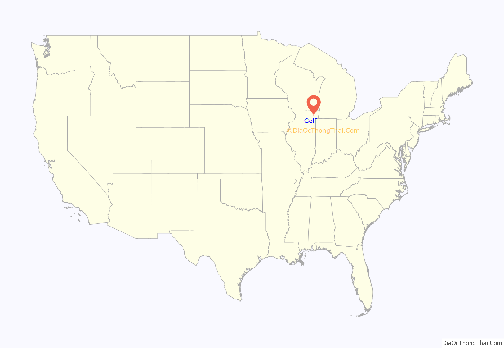
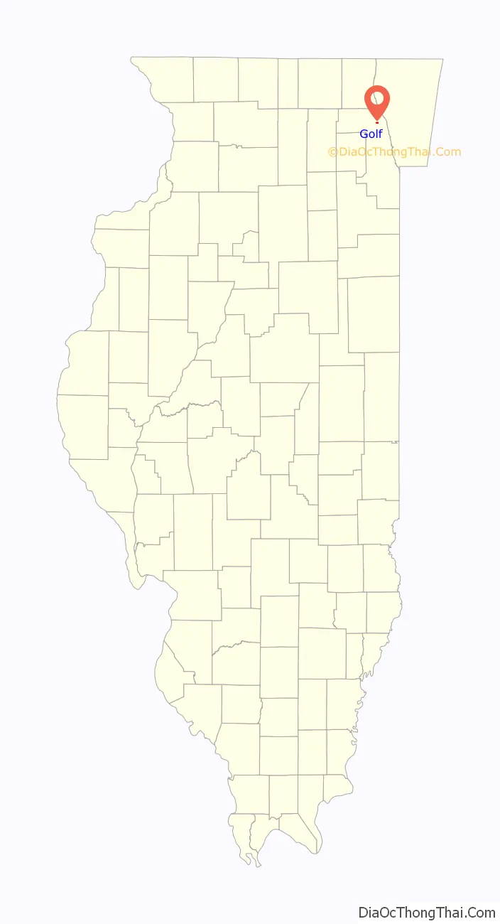
Golf location map. Where is Golf village?
History
The village of Golf occupies approximately half a square mile in Cook County, Illinois, roughly 17 miles (27 km) northwest of the Loop.
The land which is now the village was originally inhabited by Chippewa, Ottawa, and Potawatomi peoples. It was designated for their settlement in the August 1825 First Treaty of Prairie du Chien.
Around 1830, John Dewes purchased 400 acres (160 ha) for 50 cents an acre from Antoine Ouilmette and became the first non-Indian settler in what is now Golf. Dewes first built a log cabin, then in 1834 he built a brick house – a mansion at the time. Both structures remain on the grounds of what is now the Glen View Club.
In 1897, the Glen View Club bought a portion of the Dewes land and built an 18-hole golf course.
Around 1899, one member, Albert J. Earling, President of the Chicago, Milwaukee and St. Paul Railroad, started taking his private rail car from his offices downtown to golf at the Glen View Golf Club. He would tell people he was “going to golf.” Earling arranged to have his car switched to a special siding at what is now the Golf train station. Other members began using Earling’s siding, and it soon became a regular stop known as the “golf stop”. The siding remained until it was salvaged during World War II to reclaim the steel tracks for use in the war effort, according to residents of Golf at that time.
In 1925 Edward R. Diederich, a Chicago businessman, wanted to buy an acre of land near the Glen View Golf Club to build a country home. He found that in order to get the site he wanted, he would have to purchase a 30-acre (12 ha) tract that was being sold to close an estate. The 30 acres extended from the Golf train station to the Glen View Golf Club boundary. Diederich chose to purchase the land, and had it laid out with winding streets and big lots. He installed sewer, water, gas, and electricity, paved streets, sidewalks, and installed electric street lights. The village of Golf was incorporated in 1928. The Glen View Club was originally outside of Golf village limits until annexation c. 1975.
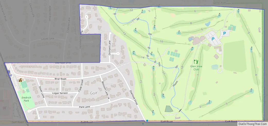
Golf Road Map
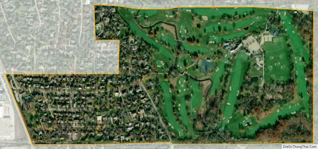
Golf city Satellite Map
Geography
According to the 2010 census, Golf has a total area of 0.45 square miles (1.17 km), all land.
See also
Map of Illinois State and its subdivision:- Adams
- Alexander
- Bond
- Boone
- Brown
- Bureau
- Calhoun
- Carroll
- Cass
- Champaign
- Christian
- Clark
- Clay
- Clinton
- Coles
- Cook
- Crawford
- Cumberland
- De Kalb
- De Witt
- Douglas
- Dupage
- Edgar
- Edwards
- Effingham
- Fayette
- Ford
- Franklin
- Fulton
- Gallatin
- Greene
- Grundy
- Hamilton
- Hancock
- Hardin
- Henderson
- Henry
- Iroquois
- Jackson
- Jasper
- Jefferson
- Jersey
- Jo Daviess
- Johnson
- Kane
- Kankakee
- Kendall
- Knox
- La Salle
- Lake
- Lake Michigan
- Lawrence
- Lee
- Livingston
- Logan
- Macon
- Macoupin
- Madison
- Marion
- Marshall
- Mason
- Massac
- McDonough
- McHenry
- McLean
- Menard
- Mercer
- Monroe
- Montgomery
- Morgan
- Moultrie
- Ogle
- Peoria
- Perry
- Piatt
- Pike
- Pope
- Pulaski
- Putnam
- Randolph
- Richland
- Rock Island
- Saint Clair
- Saline
- Sangamon
- Schuyler
- Scott
- Shelby
- Stark
- Stephenson
- Tazewell
- Union
- Vermilion
- Wabash
- Warren
- Washington
- Wayne
- White
- Whiteside
- Will
- Williamson
- Winnebago
- Woodford
- Alabama
- Alaska
- Arizona
- Arkansas
- California
- Colorado
- Connecticut
- Delaware
- District of Columbia
- Florida
- Georgia
- Hawaii
- Idaho
- Illinois
- Indiana
- Iowa
- Kansas
- Kentucky
- Louisiana
- Maine
- Maryland
- Massachusetts
- Michigan
- Minnesota
- Mississippi
- Missouri
- Montana
- Nebraska
- Nevada
- New Hampshire
- New Jersey
- New Mexico
- New York
- North Carolina
- North Dakota
- Ohio
- Oklahoma
- Oregon
- Pennsylvania
- Rhode Island
- South Carolina
- South Dakota
- Tennessee
- Texas
- Utah
- Vermont
- Virginia
- Washington
- West Virginia
- Wisconsin
- Wyoming


