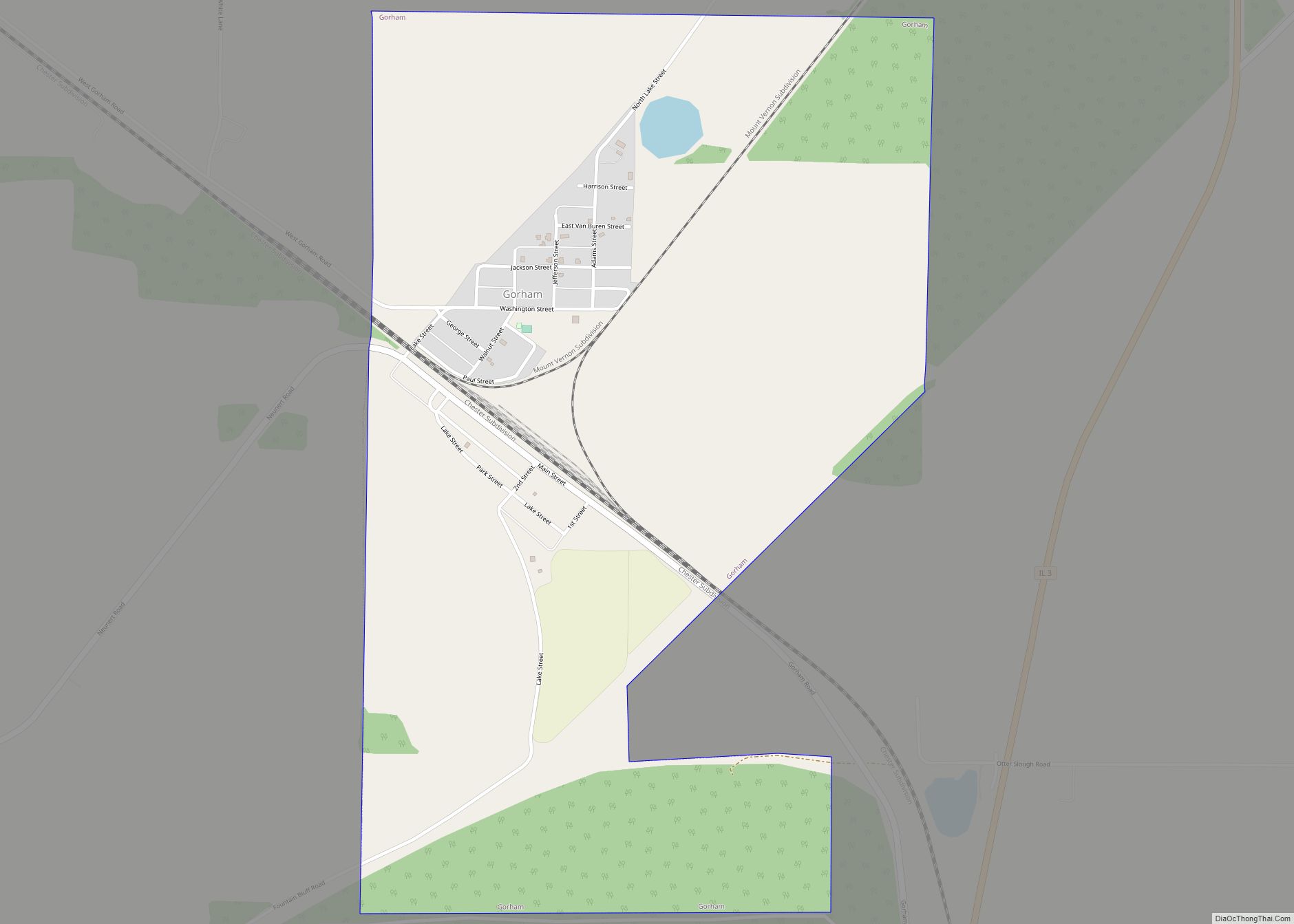
Gorham is a village in Jackson County, Illinois, United States. The population was 236 at the 2010 census. It is known locally for its near-annihilation during the deadly Tri-State Tornado of 1925.
| Name: | Gorham village |
|---|---|
| LSAD Code: | 47 |
| LSAD Description: | village (suffix) |
| State: | Illinois |
| County: | Jackson County |
| Elevation: | 364 ft (111 m) |
| Total Area: | 1.23 sq mi (3.19 km²) |
| Land Area: | 1.22 sq mi (3.16 km²) |
| Water Area: | 0.01 sq mi (0.03 km²) |
| Total Population: | 173 |
| Population Density: | 141.92/sq mi (54.78/km²) |
| Area code: | 618 |
| FIPS code: | 1730588 |
| GNISfeature ID: | 2398182 |
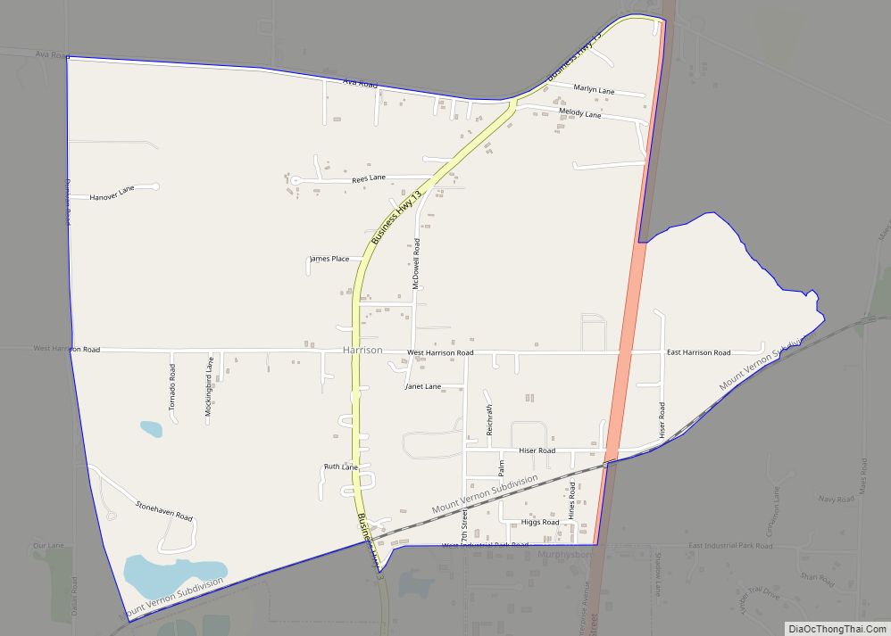
Online Interactive Map
Click on ![]() to view map in "full screen" mode.
to view map in "full screen" mode.
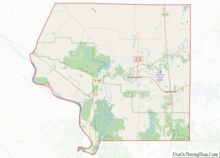
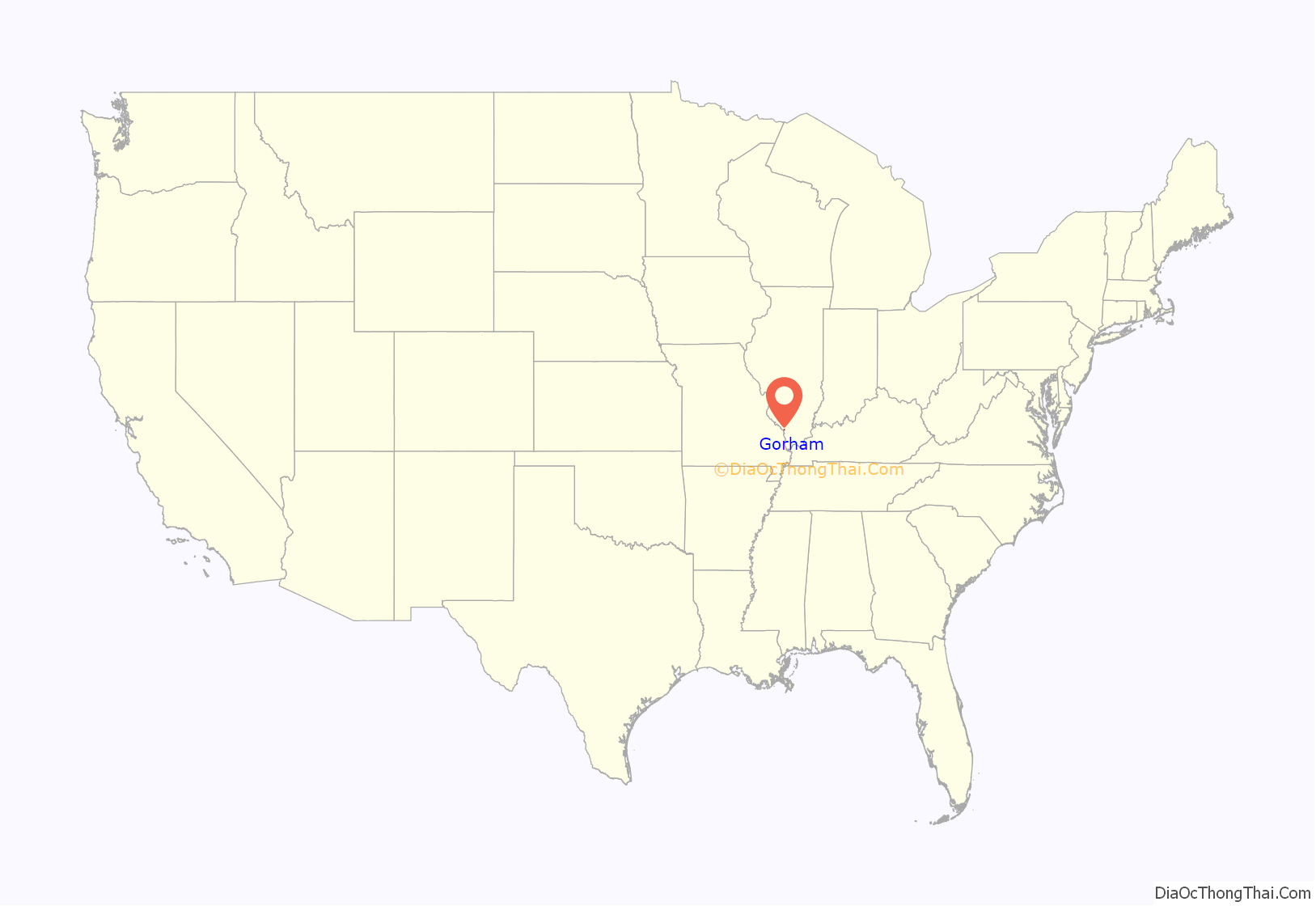
Gorham location map. Where is Gorham village?
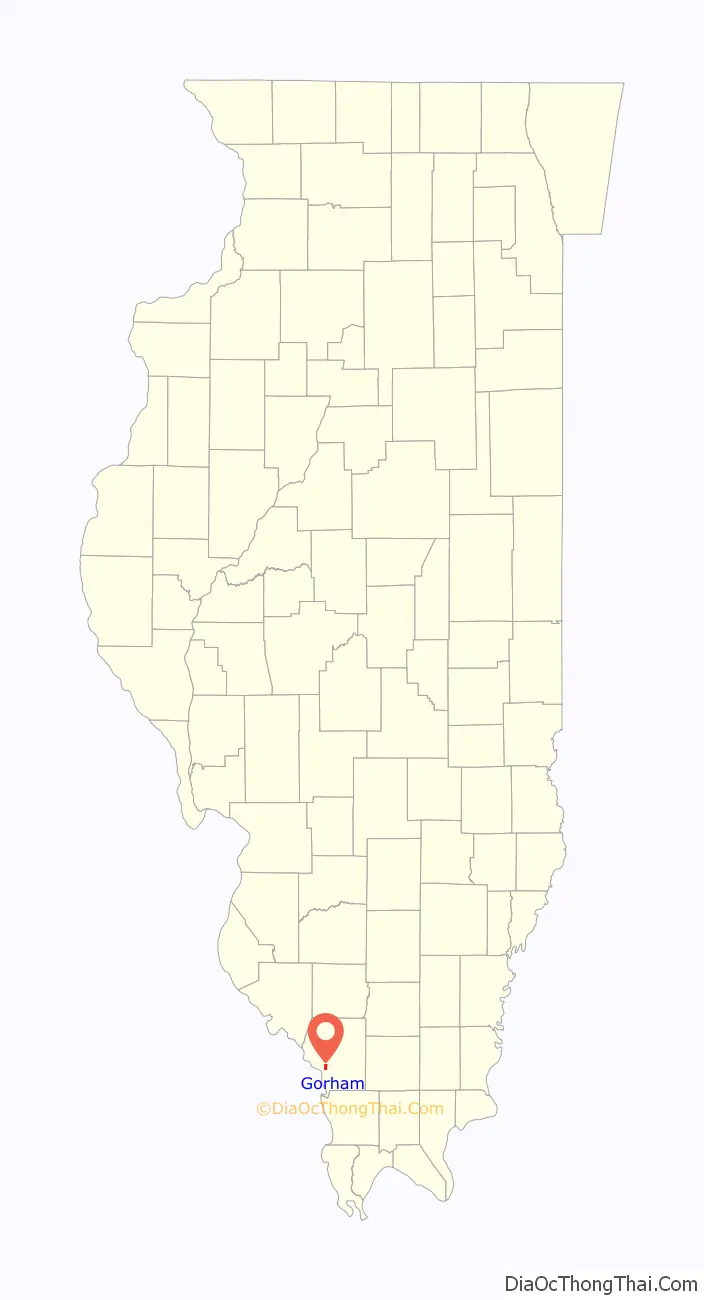
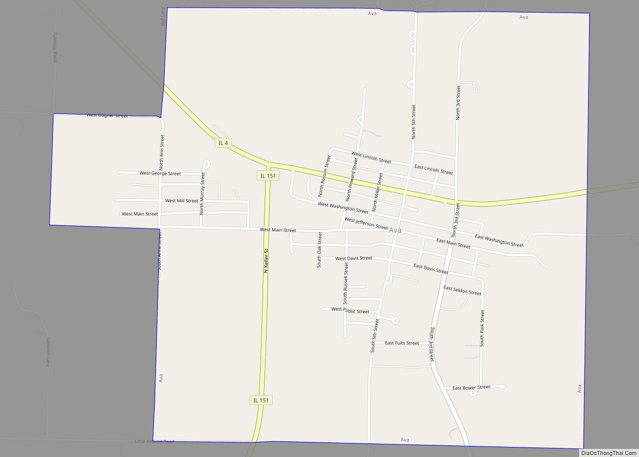
Gorham Road Map
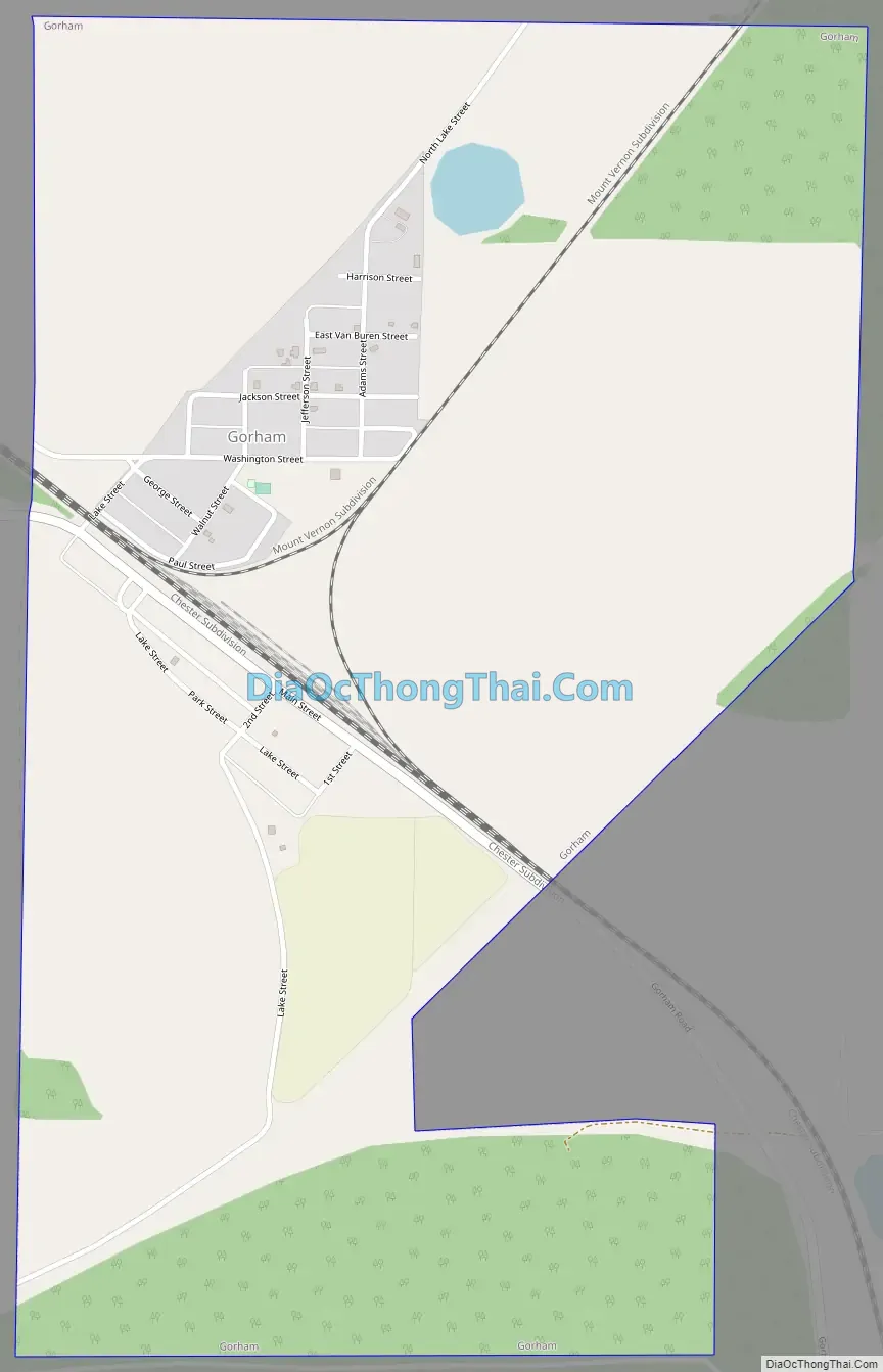
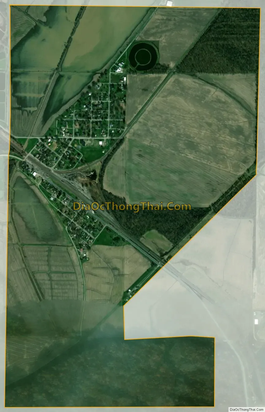
Gorham city Satellite Map
Geography
Gorham is located at 37°43′1″N 89°29′9″W / 37.71694°N 89.48583°W / 37.71694; -89.48583 (37.716897, -89.485804).
According to the 2010 census, Gorham has a total area of 1.231 square miles (3.19 km), of which 1.22 square miles (3.16 km) (or 99.11%) is land and 0.011 square miles (0.03 km) (or 0.89%) is water.
Gorham is located in the middle of the Mississippi River floodplain, which is among the most fertile farming regions in the Midwestern United States. The village is at a particularly low elevated region of the floodplain known as the “Bottoms”. This makes it more susceptible to flooding, as it was threatened in the infamous Great Flood of 1993 and the New Year’s Day Flood of 2016.
Less than one mile south of Gorham is a large hill named Fountain Bluff. Though the bluff is not exceptionally well-known, its rock faces do attract occasional rock-climbers. Etched into cliffs on the north side of this landform are several Native American petroglyphs.
See also
Map of Illinois State and its subdivision:- Adams
- Alexander
- Bond
- Boone
- Brown
- Bureau
- Calhoun
- Carroll
- Cass
- Champaign
- Christian
- Clark
- Clay
- Clinton
- Coles
- Cook
- Crawford
- Cumberland
- De Kalb
- De Witt
- Douglas
- Dupage
- Edgar
- Edwards
- Effingham
- Fayette
- Ford
- Franklin
- Fulton
- Gallatin
- Greene
- Grundy
- Hamilton
- Hancock
- Hardin
- Henderson
- Henry
- Iroquois
- Jackson
- Jasper
- Jefferson
- Jersey
- Jo Daviess
- Johnson
- Kane
- Kankakee
- Kendall
- Knox
- La Salle
- Lake
- Lake Michigan
- Lawrence
- Lee
- Livingston
- Logan
- Macon
- Macoupin
- Madison
- Marion
- Marshall
- Mason
- Massac
- McDonough
- McHenry
- McLean
- Menard
- Mercer
- Monroe
- Montgomery
- Morgan
- Moultrie
- Ogle
- Peoria
- Perry
- Piatt
- Pike
- Pope
- Pulaski
- Putnam
- Randolph
- Richland
- Rock Island
- Saint Clair
- Saline
- Sangamon
- Schuyler
- Scott
- Shelby
- Stark
- Stephenson
- Tazewell
- Union
- Vermilion
- Wabash
- Warren
- Washington
- Wayne
- White
- Whiteside
- Will
- Williamson
- Winnebago
- Woodford
- Alabama
- Alaska
- Arizona
- Arkansas
- California
- Colorado
- Connecticut
- Delaware
- District of Columbia
- Florida
- Georgia
- Hawaii
- Idaho
- Illinois
- Indiana
- Iowa
- Kansas
- Kentucky
- Louisiana
- Maine
- Maryland
- Massachusetts
- Michigan
- Minnesota
- Mississippi
- Missouri
- Montana
- Nebraska
- Nevada
- New Hampshire
- New Jersey
- New Mexico
- New York
- North Carolina
- North Dakota
- Ohio
- Oklahoma
- Oregon
- Pennsylvania
- Rhode Island
- South Carolina
- South Dakota
- Tennessee
- Texas
- Utah
- Vermont
- Virginia
- Washington
- West Virginia
- Wisconsin
- Wyoming