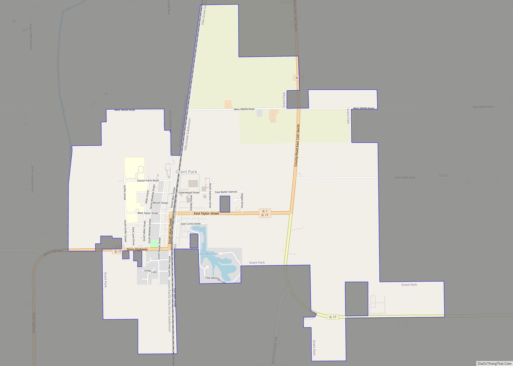
Grant Park is a village in northeastern Kankakee County, Illinois, United States. Grant Park was incorporated in 1883. In 2010, Grant Park had a population of 1,331. It is part of the Kankakee–Bradley Metropolitan Statistical Area. Much of the town was destroyed by a cyclone in 1912, according to Frank Leslie’s Weekly magazine, which ran pictures.
| Name: | Grant Park village |
|---|---|
| LSAD Code: | 47 |
| LSAD Description: | village (suffix) |
| State: | Illinois |
| County: | Kankakee County |
| Elevation: | 695 ft (212 m) |
| Total Area: | 3.44 sq mi (8.90 km²) |
| Land Area: | 3.41 sq mi (8.84 km²) |
| Water Area: | 0.03 sq mi (0.07 km²) |
| Total Population: | 1,294 |
| Population Density: | 379.14/sq mi (146.40/km²) |
| ZIP code: | 60940 |
| FIPS code: | 1730991 |
| Website: | www.grantpark-il.org |
Online Interactive Map
Click on ![]() to view map in "full screen" mode.
to view map in "full screen" mode.
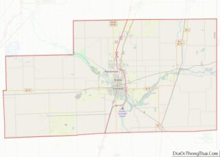
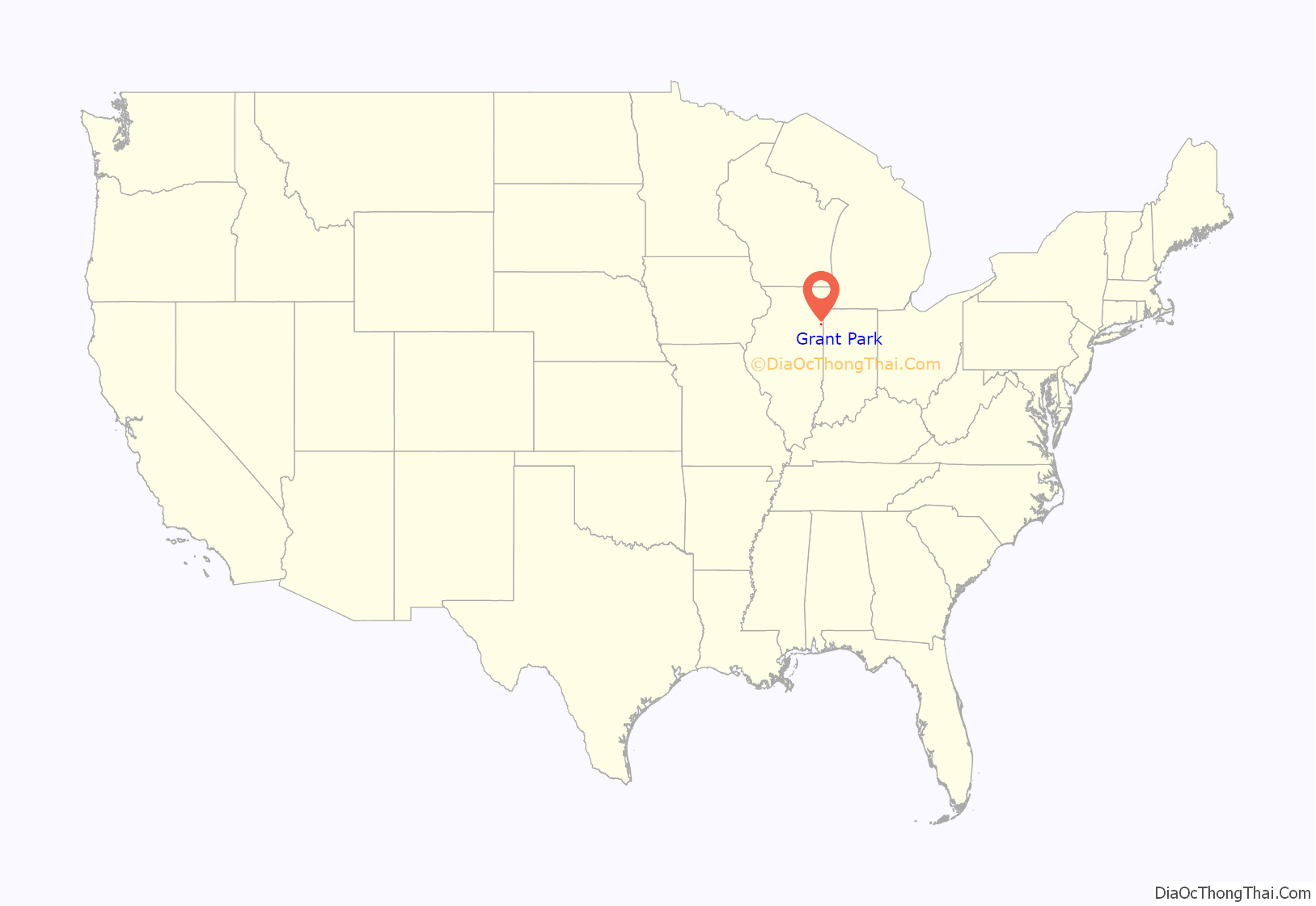
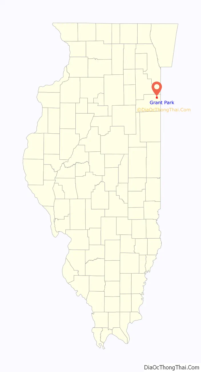
Grant Park location map. Where is Grant Park village?
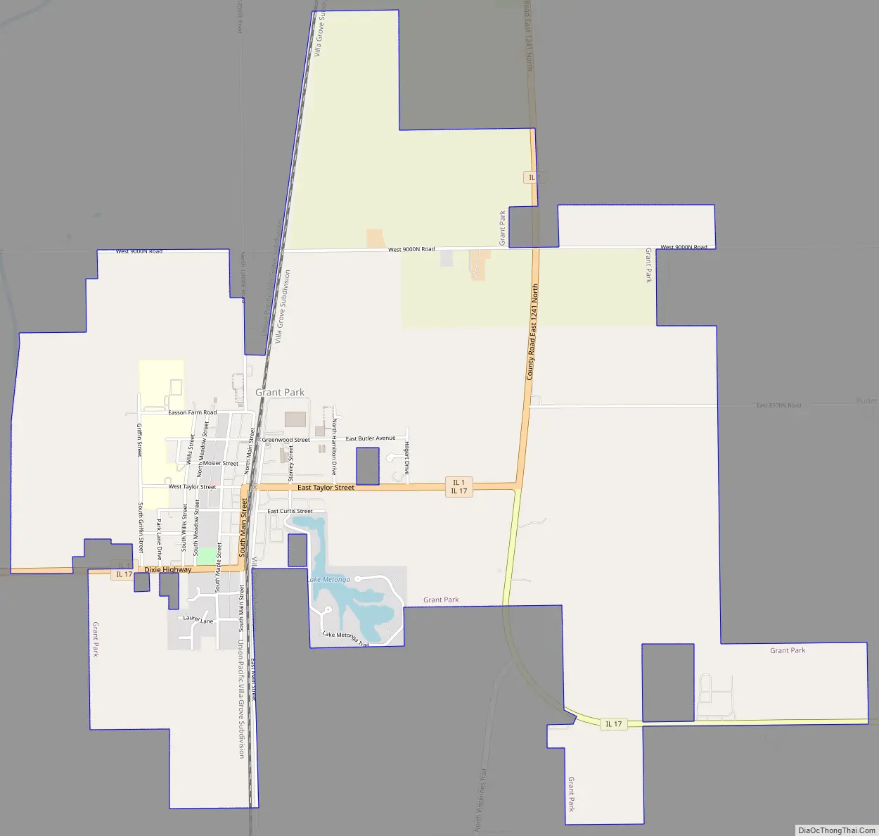
Grant Park Road Map
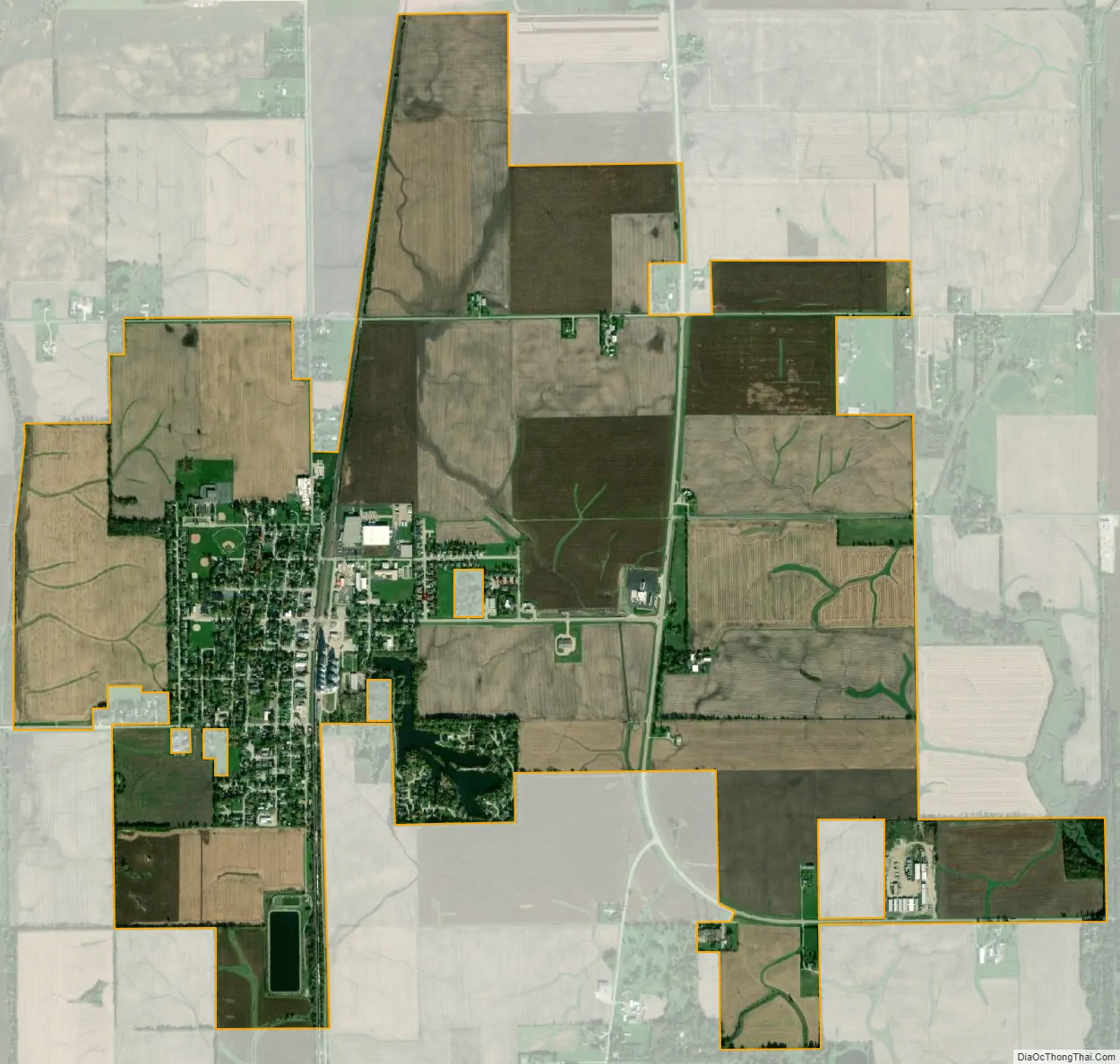
Grant Park city Satellite Map
Geography
Grant Park is located at 41°14′26″N 87°38′45″W / 41.24056°N 87.64583°W / 41.24056; -87.64583 (41.240656, -87.645842).
According to the 2010 census, Grant Park has a total area of 3.436 square miles (8.90 km), of which 3.41 square miles (8.83 km) (or 99.24%) is land and 0.026 square miles (0.07 km) (or 0.76%) is water.
See also
Map of Illinois State and its subdivision:- Adams
- Alexander
- Bond
- Boone
- Brown
- Bureau
- Calhoun
- Carroll
- Cass
- Champaign
- Christian
- Clark
- Clay
- Clinton
- Coles
- Cook
- Crawford
- Cumberland
- De Kalb
- De Witt
- Douglas
- Dupage
- Edgar
- Edwards
- Effingham
- Fayette
- Ford
- Franklin
- Fulton
- Gallatin
- Greene
- Grundy
- Hamilton
- Hancock
- Hardin
- Henderson
- Henry
- Iroquois
- Jackson
- Jasper
- Jefferson
- Jersey
- Jo Daviess
- Johnson
- Kane
- Kankakee
- Kendall
- Knox
- La Salle
- Lake
- Lake Michigan
- Lawrence
- Lee
- Livingston
- Logan
- Macon
- Macoupin
- Madison
- Marion
- Marshall
- Mason
- Massac
- McDonough
- McHenry
- McLean
- Menard
- Mercer
- Monroe
- Montgomery
- Morgan
- Moultrie
- Ogle
- Peoria
- Perry
- Piatt
- Pike
- Pope
- Pulaski
- Putnam
- Randolph
- Richland
- Rock Island
- Saint Clair
- Saline
- Sangamon
- Schuyler
- Scott
- Shelby
- Stark
- Stephenson
- Tazewell
- Union
- Vermilion
- Wabash
- Warren
- Washington
- Wayne
- White
- Whiteside
- Will
- Williamson
- Winnebago
- Woodford
- Alabama
- Alaska
- Arizona
- Arkansas
- California
- Colorado
- Connecticut
- Delaware
- District of Columbia
- Florida
- Georgia
- Hawaii
- Idaho
- Illinois
- Indiana
- Iowa
- Kansas
- Kentucky
- Louisiana
- Maine
- Maryland
- Massachusetts
- Michigan
- Minnesota
- Mississippi
- Missouri
- Montana
- Nebraska
- Nevada
- New Hampshire
- New Jersey
- New Mexico
- New York
- North Carolina
- North Dakota
- Ohio
- Oklahoma
- Oregon
- Pennsylvania
- Rhode Island
- South Carolina
- South Dakota
- Tennessee
- Texas
- Utah
- Vermont
- Virginia
- Washington
- West Virginia
- Wisconsin
- Wyoming