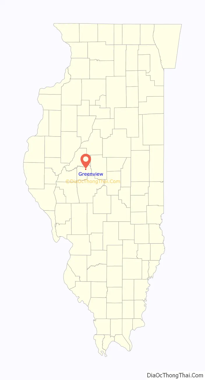
Greenview is a village in Menard County, Illinois, United States. The population was 745 at the 2020 census. It is part of the Springfield, Illinois Metropolitan Statistical Area.
| Name: | Greenview village |
|---|---|
| LSAD Code: | 47 |
| LSAD Description: | village (suffix) |
| State: | Illinois |
| County: | Menard County |
| Elevation: | 538 ft (164 m) |
| Total Area: | 0.86 sq mi (2.23 km²) |
| Land Area: | 0.86 sq mi (2.23 km²) |
| Water Area: | 0.00 sq mi (0.00 km²) |
| Total Population: | 745 |
| Population Density: | 867.29/sq mi (334.82/km²) |
| ZIP code: | 62642 |
| Area code: | 217 |
| FIPS code: | 1731576 |
| GNISfeature ID: | 2398205 |
| Website: | thevillageofgreenview.com |
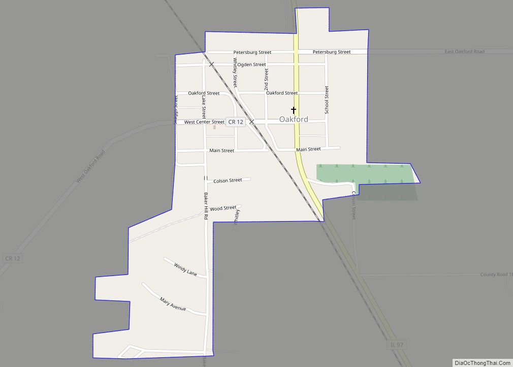
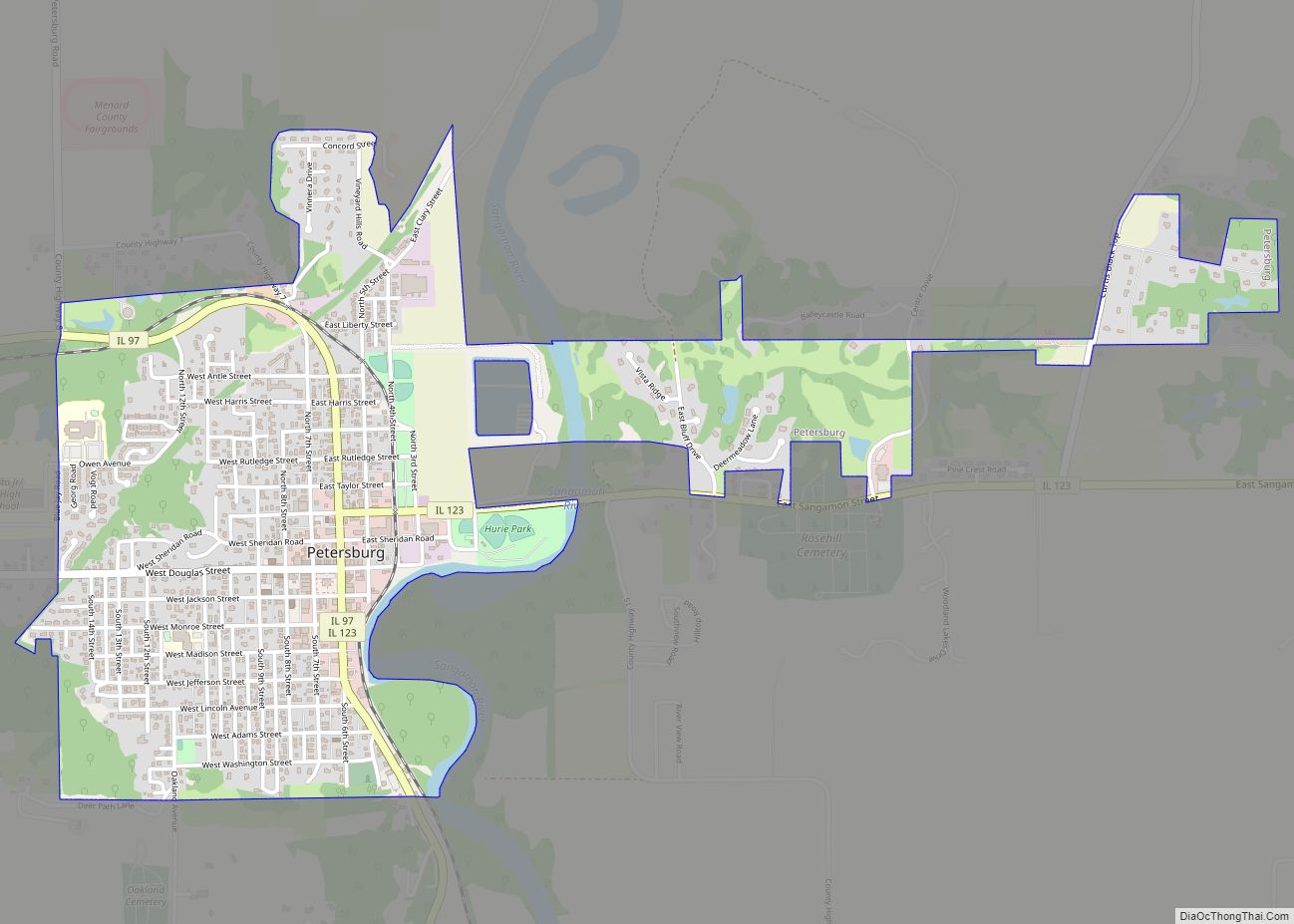
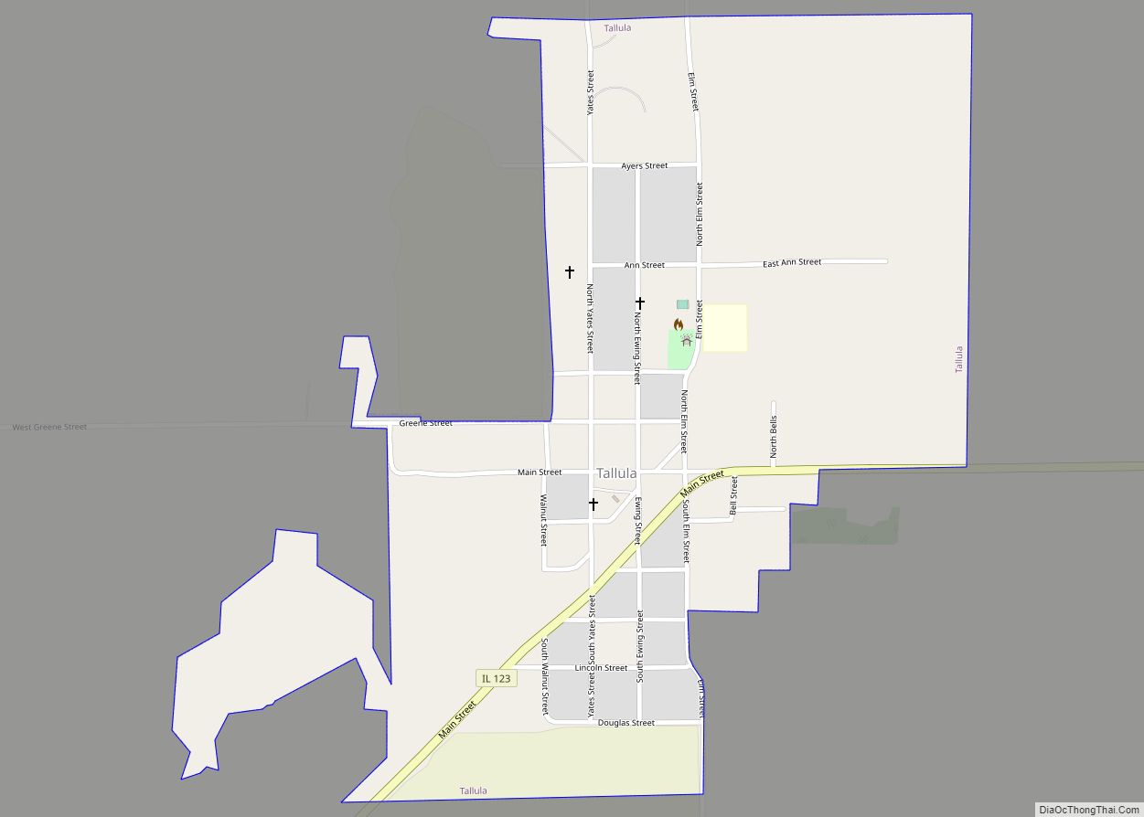
Online Interactive Map
Click on ![]() to view map in "full screen" mode.
to view map in "full screen" mode.
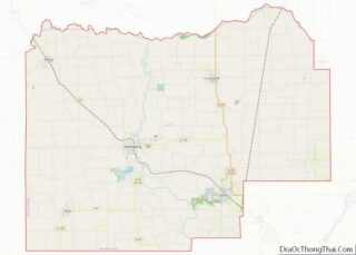
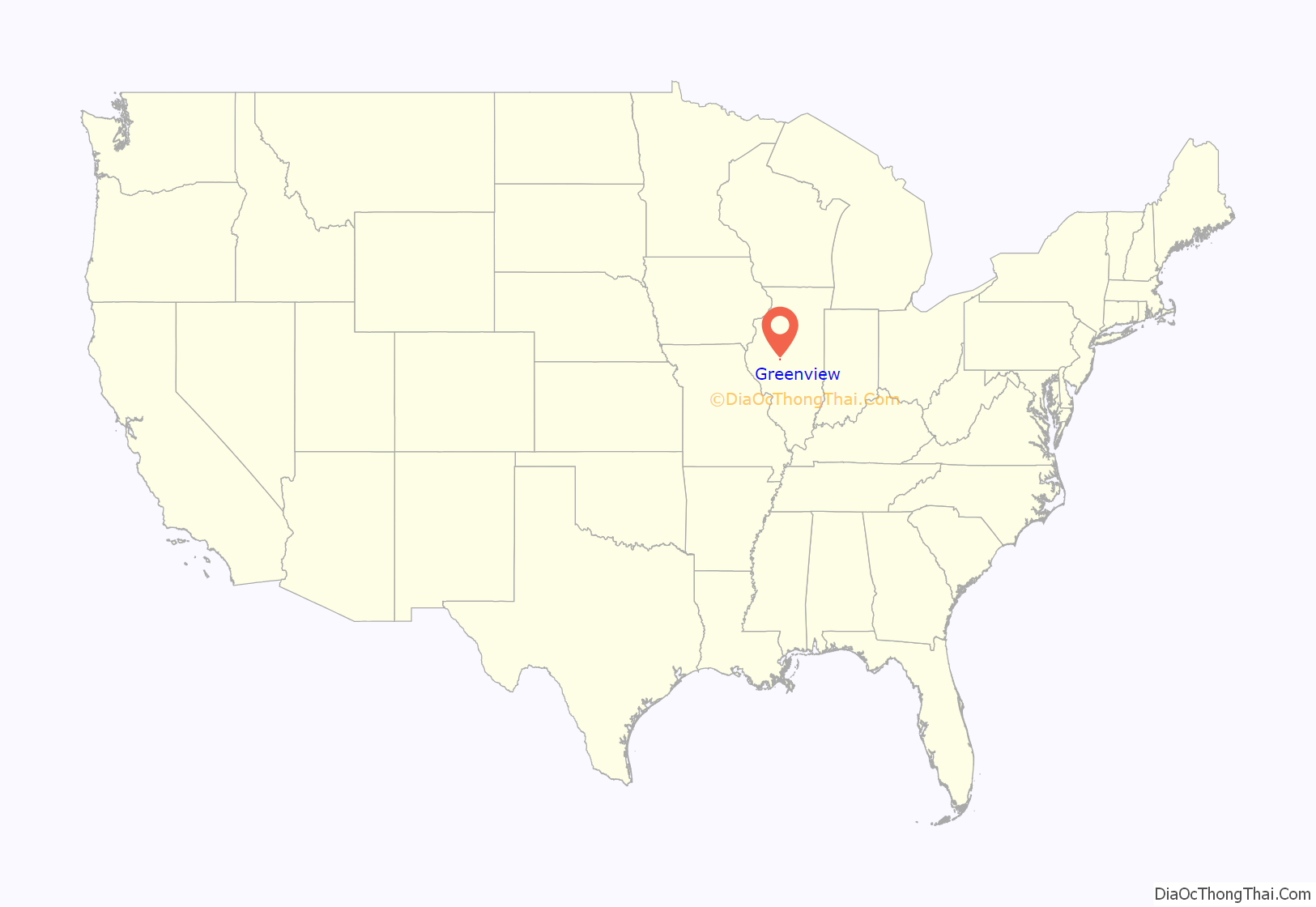
Greenview location map. Where is Greenview village?
History
Greenview was laid out in October 1857 by Menard County pioneer Willian Engle, on land originally owned by Charles Montgomery in section 23 of township 19 north, range 6 west of the Third Principal Meridian. It was named after William G. Greene of nearby Tallula Precinct, because he convinced the railroad to come through the town: located on the Chicago, Alton & St. Louis Railroad, Greenview was incorporated by a special act of the Illinois General Assembly on May 6, 1869, then re-incorporated under the new general municipal laws of the state on March 7, 1877.
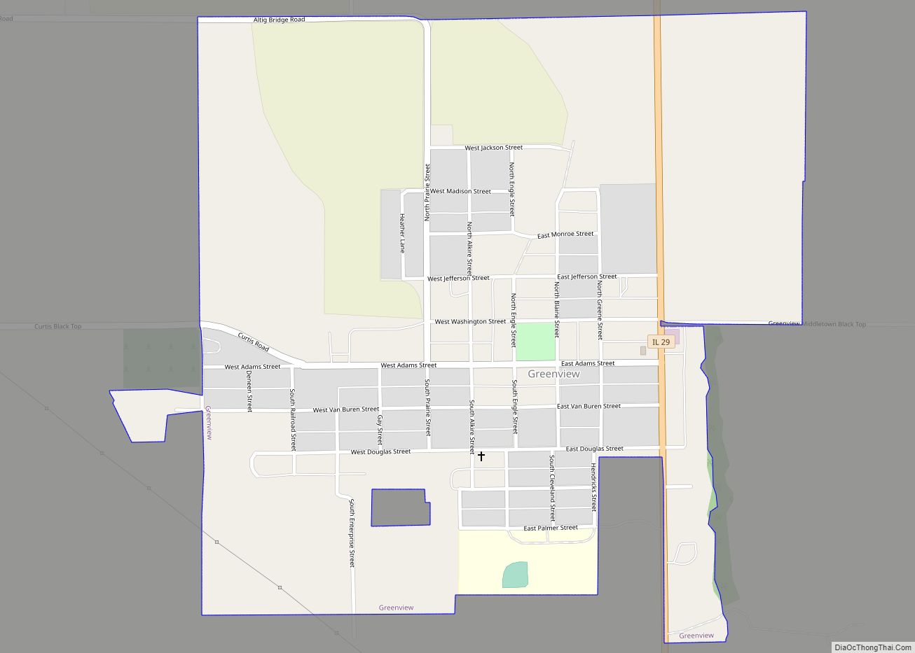
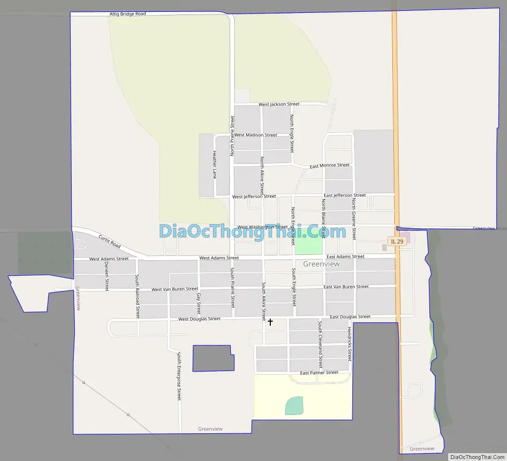
Greenview Road Map
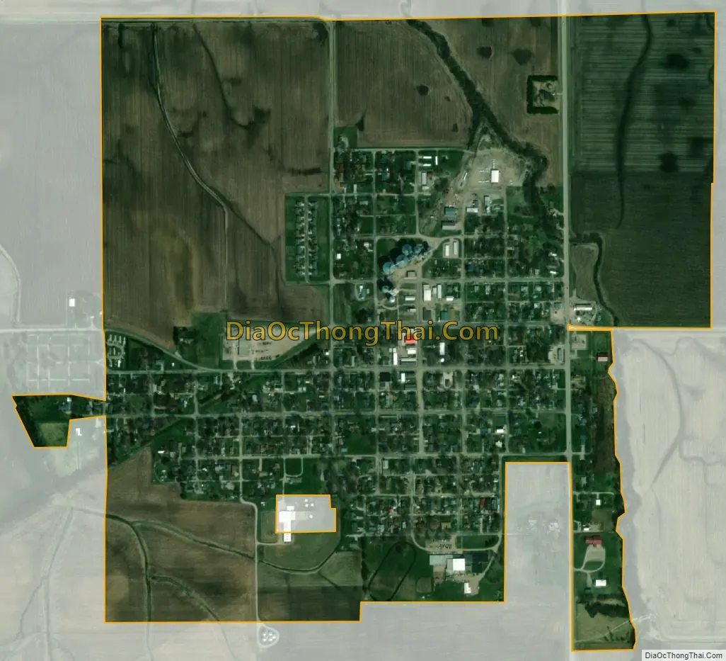
Greenview city Satellite Map
Geography
Greenview is located in northeastern Menard County. Illinois Route 29 passes through the east side of the village, leading north 9 miles (14 km) to Mason City and south the same distance to Athens. Springfield, the state capital, is 23 miles (37 km) to the south via IL 29, and Petersburg, the Menard county seat, is 10 miles (16 km) to the southwest via local roads.
According to the U.S. Census Bureau, Greenview has a total area of 0.86 square miles (2.23 km), all land. Grove Creek passes through the east side of the village, flowing north toward Salt Creek and the Sangamon River, part of the Illinois River watershed.
See also
Map of Illinois State and its subdivision:- Adams
- Alexander
- Bond
- Boone
- Brown
- Bureau
- Calhoun
- Carroll
- Cass
- Champaign
- Christian
- Clark
- Clay
- Clinton
- Coles
- Cook
- Crawford
- Cumberland
- De Kalb
- De Witt
- Douglas
- Dupage
- Edgar
- Edwards
- Effingham
- Fayette
- Ford
- Franklin
- Fulton
- Gallatin
- Greene
- Grundy
- Hamilton
- Hancock
- Hardin
- Henderson
- Henry
- Iroquois
- Jackson
- Jasper
- Jefferson
- Jersey
- Jo Daviess
- Johnson
- Kane
- Kankakee
- Kendall
- Knox
- La Salle
- Lake
- Lake Michigan
- Lawrence
- Lee
- Livingston
- Logan
- Macon
- Macoupin
- Madison
- Marion
- Marshall
- Mason
- Massac
- McDonough
- McHenry
- McLean
- Menard
- Mercer
- Monroe
- Montgomery
- Morgan
- Moultrie
- Ogle
- Peoria
- Perry
- Piatt
- Pike
- Pope
- Pulaski
- Putnam
- Randolph
- Richland
- Rock Island
- Saint Clair
- Saline
- Sangamon
- Schuyler
- Scott
- Shelby
- Stark
- Stephenson
- Tazewell
- Union
- Vermilion
- Wabash
- Warren
- Washington
- Wayne
- White
- Whiteside
- Will
- Williamson
- Winnebago
- Woodford
- Alabama
- Alaska
- Arizona
- Arkansas
- California
- Colorado
- Connecticut
- Delaware
- District of Columbia
- Florida
- Georgia
- Hawaii
- Idaho
- Illinois
- Indiana
- Iowa
- Kansas
- Kentucky
- Louisiana
- Maine
- Maryland
- Massachusetts
- Michigan
- Minnesota
- Mississippi
- Missouri
- Montana
- Nebraska
- Nevada
- New Hampshire
- New Jersey
- New Mexico
- New York
- North Carolina
- North Dakota
- Ohio
- Oklahoma
- Oregon
- Pennsylvania
- Rhode Island
- South Carolina
- South Dakota
- Tennessee
- Texas
- Utah
- Vermont
- Virginia
- Washington
- West Virginia
- Wisconsin
- Wyoming