Hampshire is a village in Kane County, Illinois, United States. As of the 2020 census it had a population of 7,667.
| Name: | Hampshire village |
|---|---|
| LSAD Code: | 47 |
| LSAD Description: | village (suffix) |
| State: | Illinois |
| County: | Kane County |
| Total Area: | 9.51 sq mi (24.62 km²) |
| Land Area: | 9.51 sq mi (24.62 km²) |
| Water Area: | 0.00 sq mi (0.00 km²) |
| Total Population: | 7,667 |
| Population Density: | 806.63/sq mi (311.43/km²) |
| Area code: | 847 |
| FIPS code: | 1732525 |
| Website: | www.hampshireil.org |
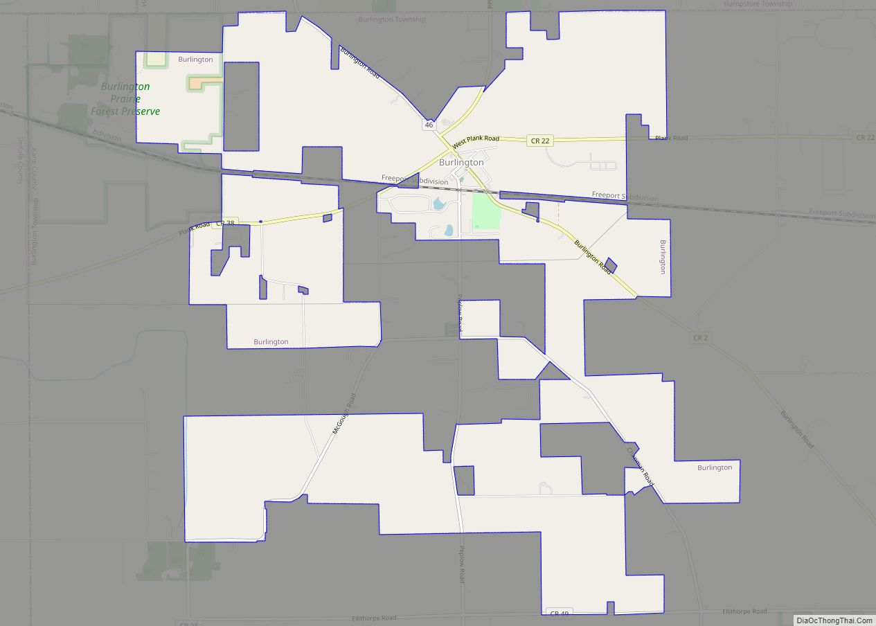
Online Interactive Map
Click on ![]() to view map in "full screen" mode.
to view map in "full screen" mode.
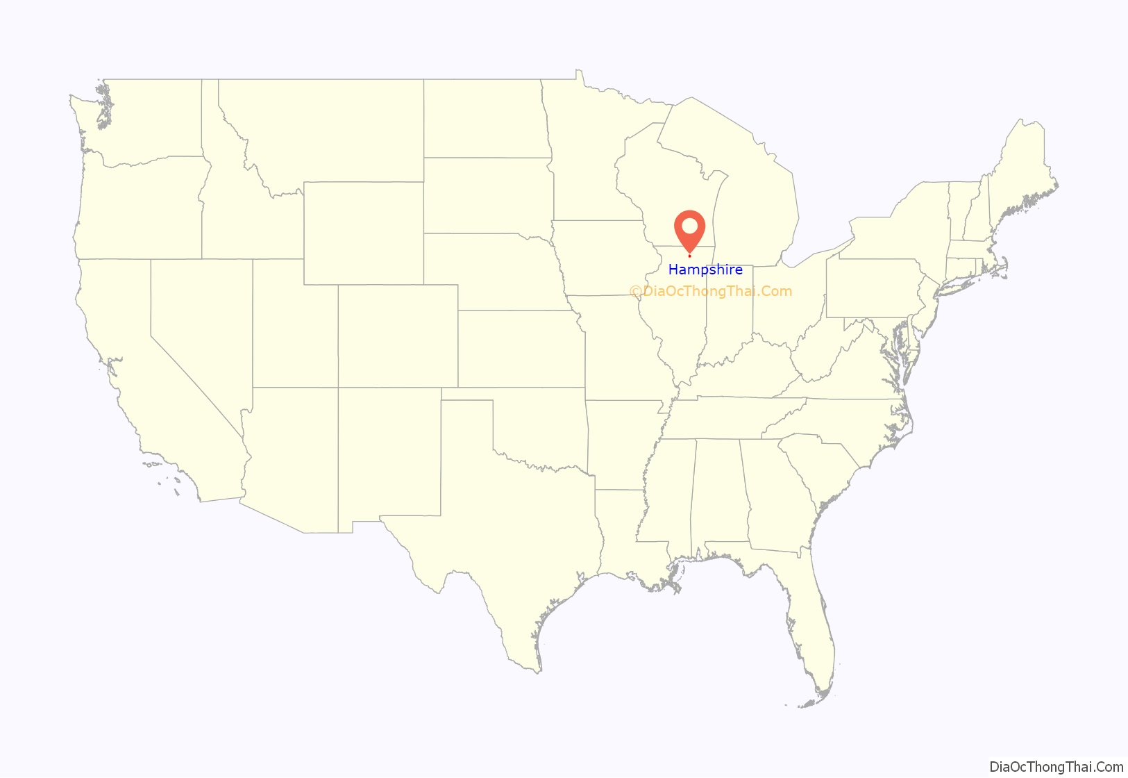
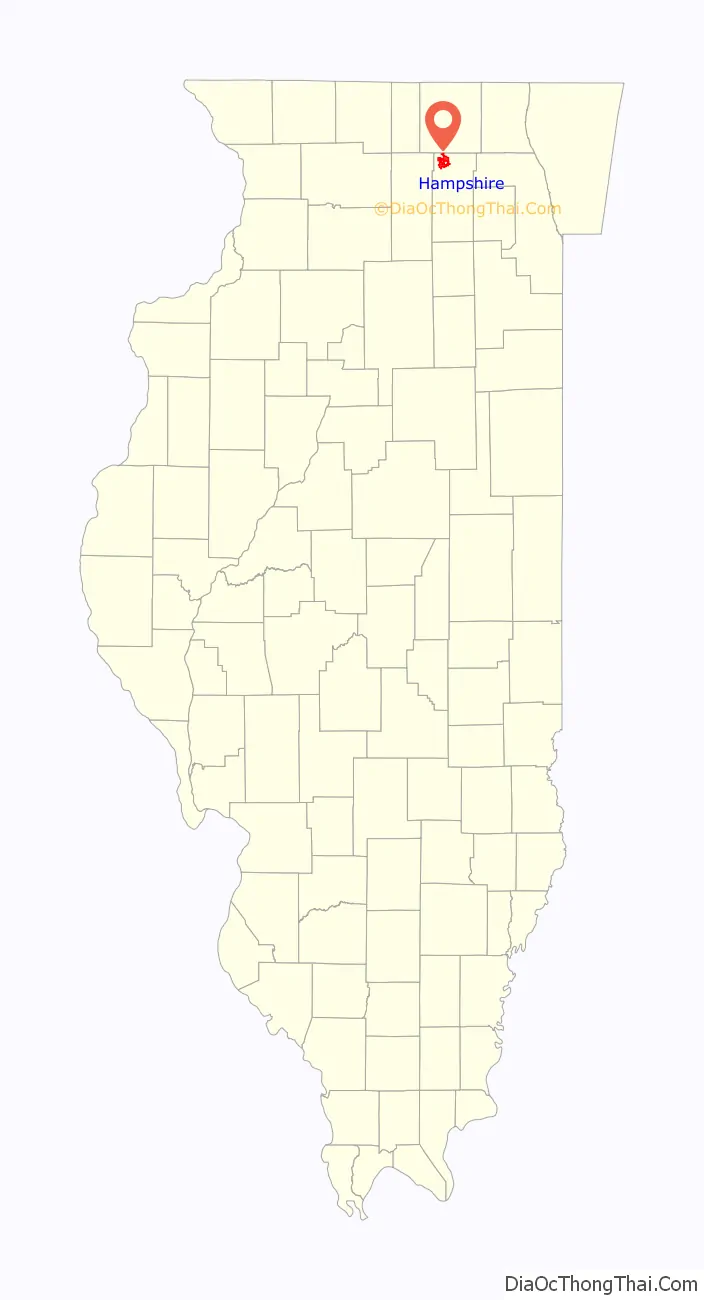
Hampshire location map. Where is Hampshire village?
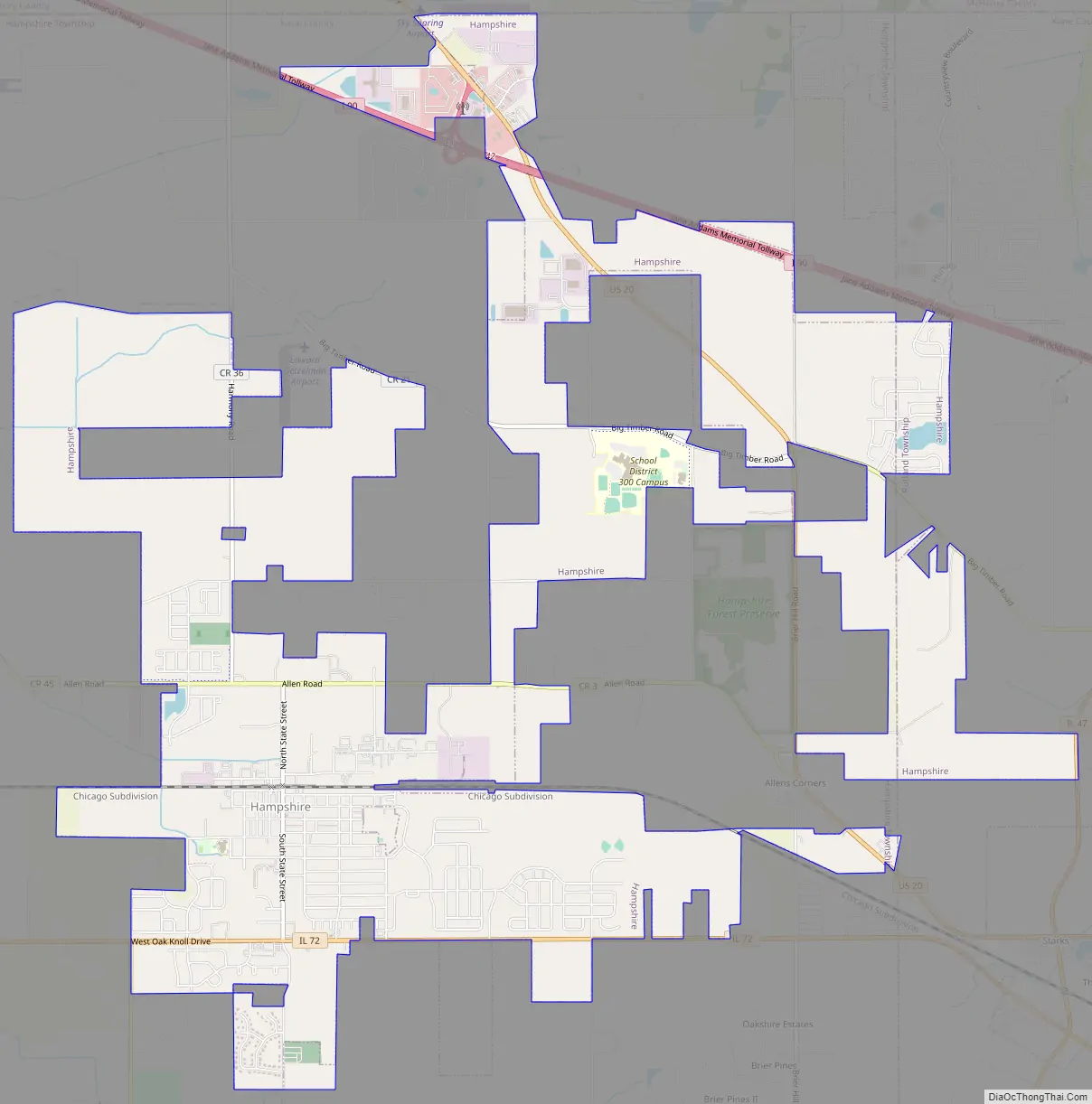
Hampshire Road Map
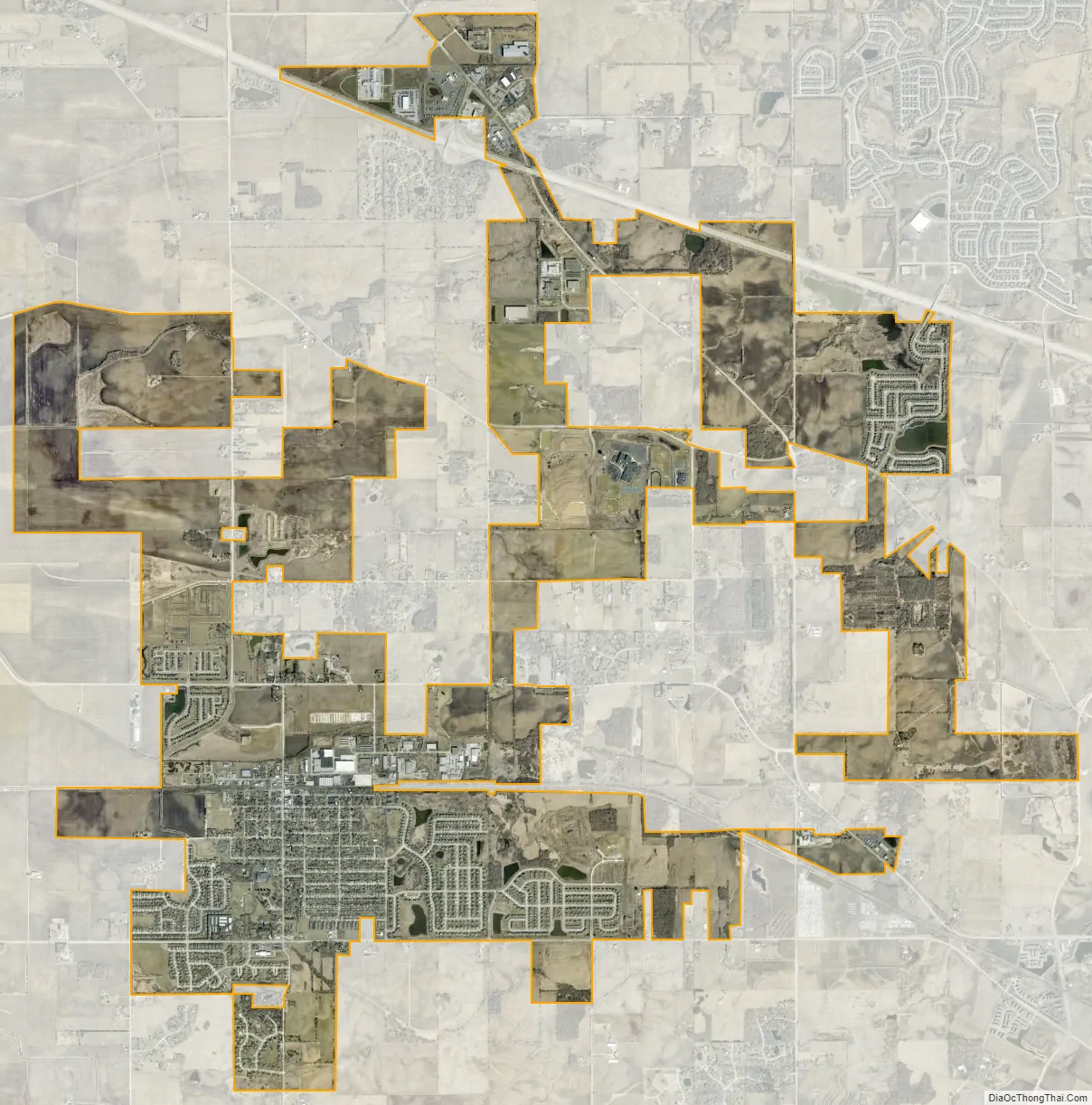
Hampshire city Satellite Map
Geography
Hampshire is located in northwestern Kane County at 42°05′56″N 88°31′33″W / 42.098871°N 88.525792°W / 42.098871; -88.525792. Most of the village is in Hampshire Township, and a small portion extends east into Rutland Township. The village is bordered to the northeast by Huntley and to the southeast by Pingree Grove.
Illinois Route 72 passes through the southern part of the village, leading east 4 miles (6 km) to Starks and west 8 miles (13 km) to Genoa. U.S. Route 20 passes through the northeastern outskirts of the village, leading northwest 13 miles (21 km) to Marengo and southeast 12 miles (19 km) to Elgin. Hampshire is 52 miles (84 km) northwest of the center of Chicago.
According to the 2010 census, Hampshire has a total area of 8.95 square miles (23.18 km), all land.
See also
Map of Illinois State and its subdivision:- Adams
- Alexander
- Bond
- Boone
- Brown
- Bureau
- Calhoun
- Carroll
- Cass
- Champaign
- Christian
- Clark
- Clay
- Clinton
- Coles
- Cook
- Crawford
- Cumberland
- De Kalb
- De Witt
- Douglas
- Dupage
- Edgar
- Edwards
- Effingham
- Fayette
- Ford
- Franklin
- Fulton
- Gallatin
- Greene
- Grundy
- Hamilton
- Hancock
- Hardin
- Henderson
- Henry
- Iroquois
- Jackson
- Jasper
- Jefferson
- Jersey
- Jo Daviess
- Johnson
- Kane
- Kankakee
- Kendall
- Knox
- La Salle
- Lake
- Lake Michigan
- Lawrence
- Lee
- Livingston
- Logan
- Macon
- Macoupin
- Madison
- Marion
- Marshall
- Mason
- Massac
- McDonough
- McHenry
- McLean
- Menard
- Mercer
- Monroe
- Montgomery
- Morgan
- Moultrie
- Ogle
- Peoria
- Perry
- Piatt
- Pike
- Pope
- Pulaski
- Putnam
- Randolph
- Richland
- Rock Island
- Saint Clair
- Saline
- Sangamon
- Schuyler
- Scott
- Shelby
- Stark
- Stephenson
- Tazewell
- Union
- Vermilion
- Wabash
- Warren
- Washington
- Wayne
- White
- Whiteside
- Will
- Williamson
- Winnebago
- Woodford
- Alabama
- Alaska
- Arizona
- Arkansas
- California
- Colorado
- Connecticut
- Delaware
- District of Columbia
- Florida
- Georgia
- Hawaii
- Idaho
- Illinois
- Indiana
- Iowa
- Kansas
- Kentucky
- Louisiana
- Maine
- Maryland
- Massachusetts
- Michigan
- Minnesota
- Mississippi
- Missouri
- Montana
- Nebraska
- Nevada
- New Hampshire
- New Jersey
- New Mexico
- New York
- North Carolina
- North Dakota
- Ohio
- Oklahoma
- Oregon
- Pennsylvania
- Rhode Island
- South Carolina
- South Dakota
- Tennessee
- Texas
- Utah
- Vermont
- Virginia
- Washington
- West Virginia
- Wisconsin
- Wyoming