Harvard is a city located in McHenry County, Illinois. The population was 9,469 at the 2020 census. The city is 63 miles from the Chicago Loop and it is the last stop on the Union Pacific/Northwest Line.
| Name: | Harvard city |
|---|---|
| LSAD Code: | 25 |
| LSAD Description: | city (suffix) |
| State: | Illinois |
| County: | McHenry County |
| Founded: | February 28, 1867 |
| Elevation: | 922 ft (281 m) |
| Total Area: | 8.36 sq mi (21.64 km²) |
| Land Area: | 8.36 sq mi (21.64 km²) |
| Water Area: | 0.00 sq mi (0.00 km²) |
| Total Population: | 9,469 |
| Population Density: | 1,133.33/sq mi (437.58/km²) |
| FIPS code: | 1733331 |
| Website: | cityofharvard.org |
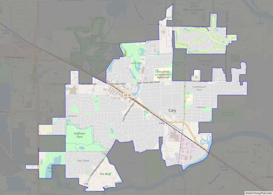
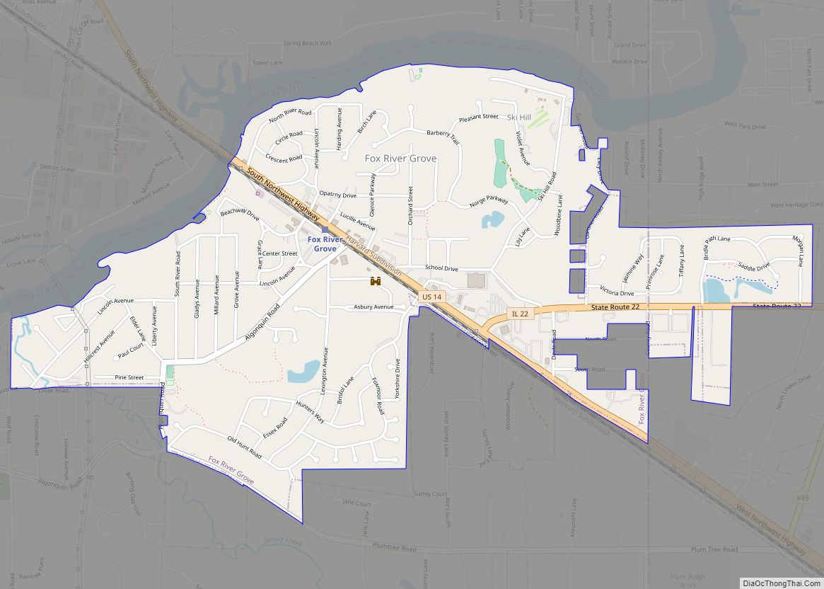
Online Interactive Map
Click on ![]() to view map in "full screen" mode.
to view map in "full screen" mode.
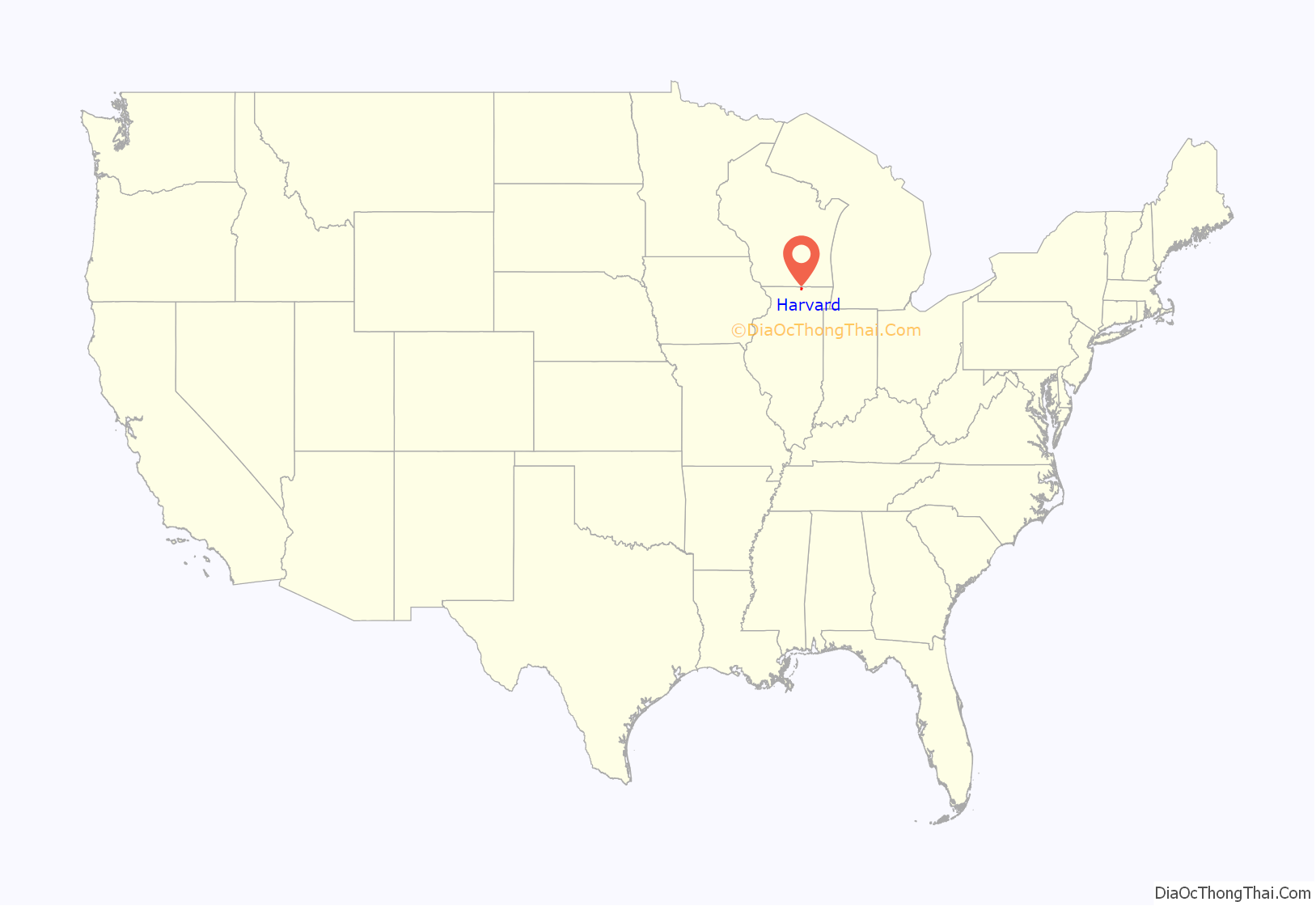
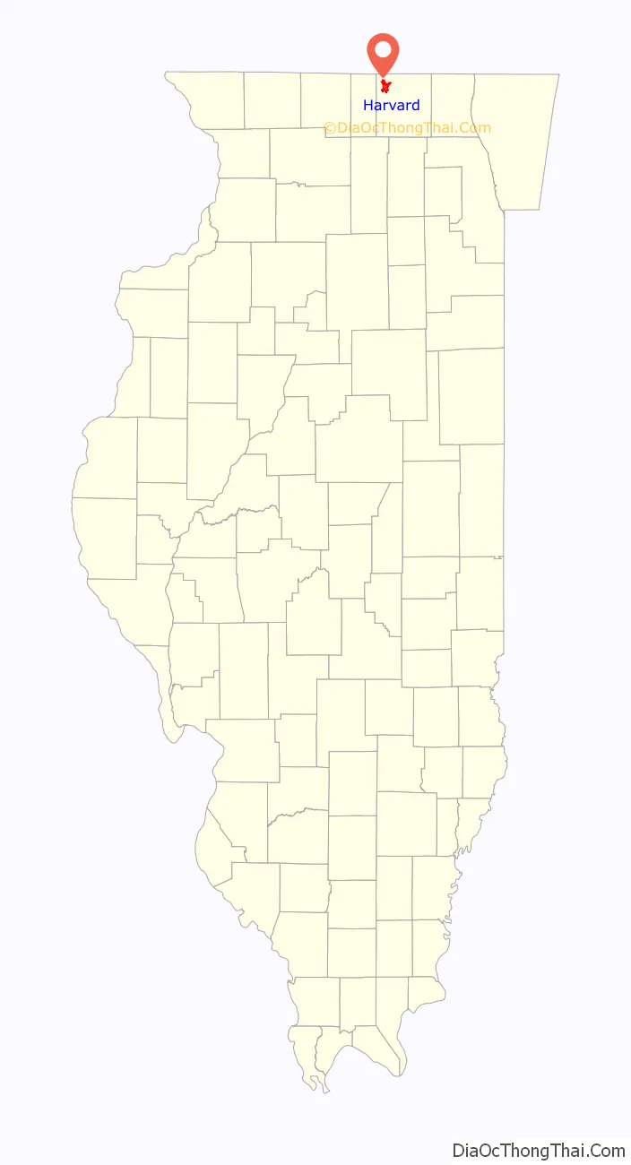
Harvard location map. Where is Harvard city?
History
The original owners of the land which came to be Harvard, Illinois, were Abram Carmack and Jacob Davis, who obtained it from the government in 1845 and sold it to Gilbert Brainard shortly afterward. Upon Gilbert Brainard’s death, the land was purchased by Amos Page, Otis Eastman, and Elbridge Gerry Ayer. These three men planned the layout of the town and named it “Harvard” in honor of Harvard, Massachusetts. The plat was signed by Judge J. M. Strode in Woodstock, Illinois, on November 25, 1856. Shortly afterward Amos Page and Otis Eastman sold their shares of the property to Elbridge Gerry Ayer. Mr.Ayer’s involvement came out of his business interest in the extension of the Chicago and North Western Transportation Company railroad west from Cary, toward Janesville, Wisconsin. The newly platted town of Harvard was located directly on the route of the extension, and in April 1856 the railroad accepted Ayer’s offer of land to build a station in the town.
In 1856 Mr. Wesley Diggins built a hotel for Mr. H. C. Blackman, who sold it to Mr. Elbridge Gerry Ayer in 1859. Mr. Ayer built additional floors to raise it to a height of three stories and added a wing and a veranda. During the Civil War, sick and wounded soldiers passing through Harvard were lodged at the hotel with no charge for their meals. In 1925 the Ayer Hotel was purchased by Mr. S. J. Noble and renamed the Noble Hotel. When he could not maintain mortgage payments it was purchased in 1937 by Mr. P. G. Allen and renamed the Hub Hotel. The building was destroyed in a fire on December 22, 1960.
As railroad employment expanded, Harvard’s population grew. On April 18, 1869, voters incorporated the community and elected Elbridge Gerry Ayer as the first village president. The first ordinance adopted required every able-bodied citizen between the ages of 18 and 60 to perform one day of labor for the town.
Harvard was turned from a town into a city when citizens voted to do so (with a vote of 550 to 5) on April 6, 1891. With this change, Harvard was no longer a town administered by a village president. It became a city administered by a mayor.
Motorola opened a 1,500,000 square feet (140,000 m) mobile telephone manufacturing and distribution facility on Harvard’s north side in 1997. The plant employed more than 5,000 at its peak. However, a combination of factors, including a significant decline in Motorola’s business in the early 2000s, compelled the company to shutter the facility in 2003. On August 13, 2008, the 1.5 million square foot facility was sold to Optima International’s Optima Ventures, LLC a Miami-based real estate investment firm led by Chaim Schochet and 2/3rd owned by the Ihor Kolomoyskyi associated Privat Group, one of Ukraine’s largest business and banking groups holding 33% of the individual deposits and accounting for 25% of Ukraine’s banking sector from 2003 to 2016. In 2016, Xiao Hua “Edward” Gong, who was born in China but resides in Toronto, purchased the former Motorola plant but, in December 2017, prosecutors in Canada and New Zealand alleged that the plant was part of a money laundering scheme and fraud involving Chinese citizens purchasing securities valued at hundreds of millions of dollars and supported by firms in New Zealand.
In 2006, Harvard held a year-long Sesquicentennial Celebration. The Greater Harvard Area Historical Society is located on Hart Street. The society identifies and marks historical sites in the area. It also works to obtain histories of Harvard families, businesses, and farms that have been in operation for more than 100 years.
Harvard is the self-proclaimed Milk Capital of the World and hosts one of the longest-running festivals in Illinois, Harvard Milk Days, the first weekend of June to commemorate their contributions to milk production during WWII.
A symbol of the Milk Days Festival, the statue of a cow, Harmilda, “stands 5 feet tall, 8 feet long, and weighs about 125 pounds.”
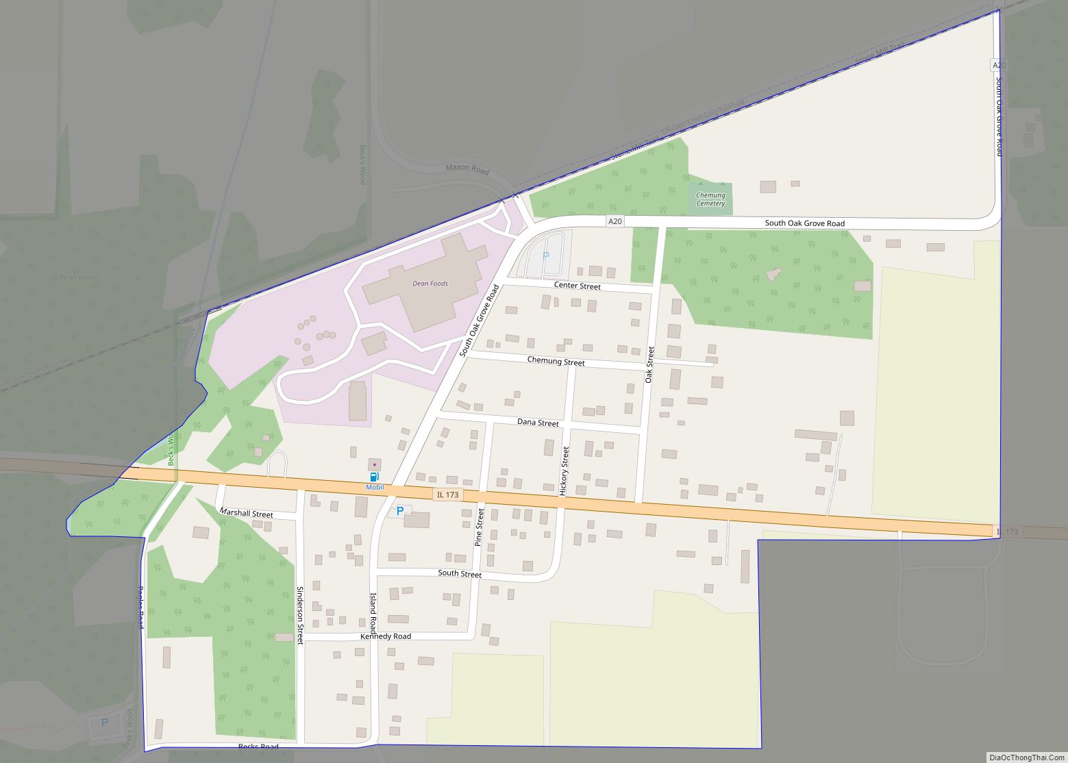
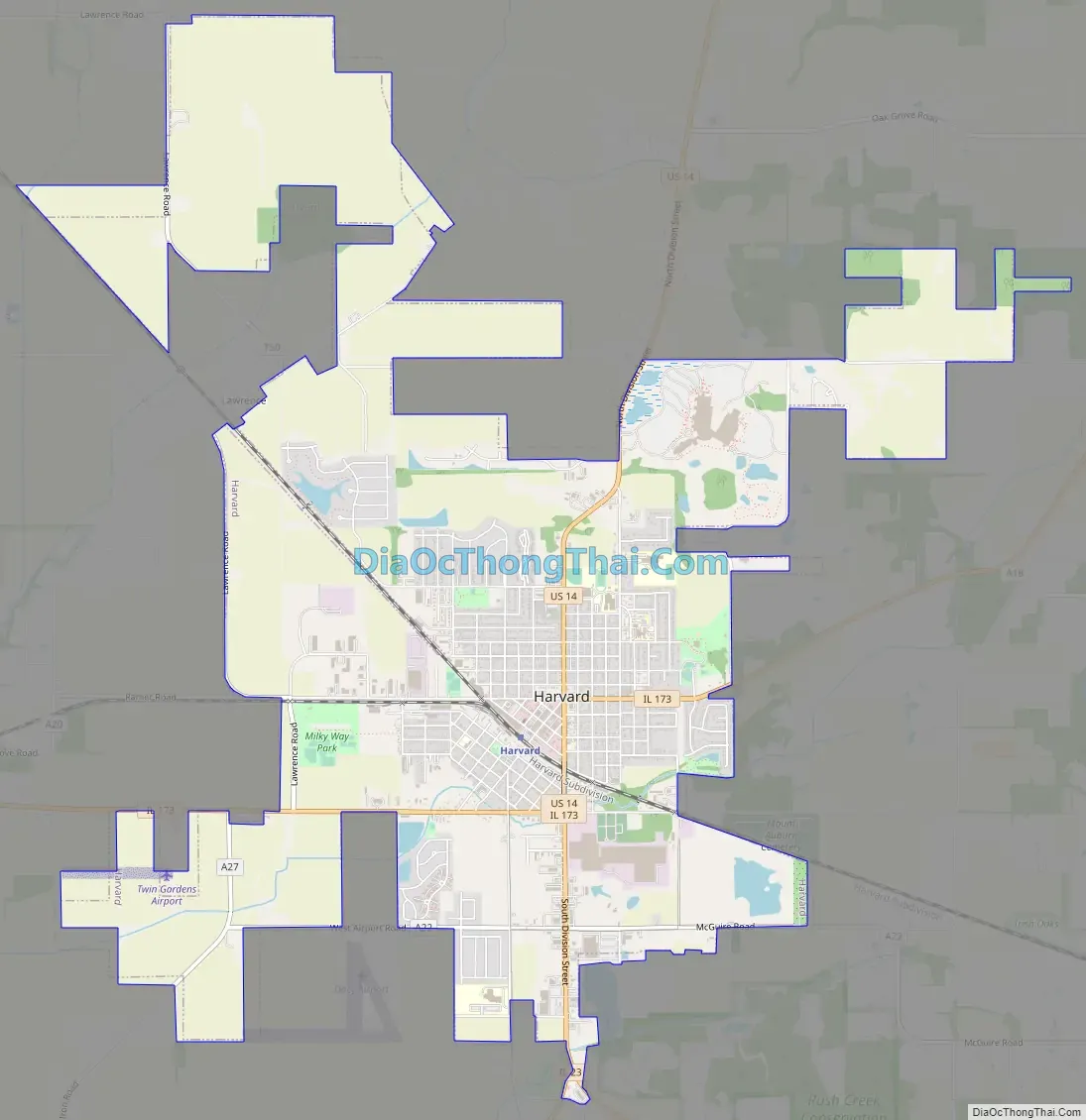
Harvard Road Map
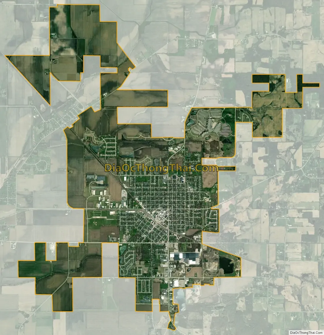
Harvard city Satellite Map
Geography
According to the 2010 census, Harvard has a total area of 8.58 square miles (22.22 km), all land.
Major streets
- Airport Road
- Ayer Street
- Diggins Street/Brink Street
- Division Street
- Flat Iron Road
- Lawrence Road
- Marengo Street
- Oak Grove Road
- Ramer Road
See also
Map of Illinois State and its subdivision:- Adams
- Alexander
- Bond
- Boone
- Brown
- Bureau
- Calhoun
- Carroll
- Cass
- Champaign
- Christian
- Clark
- Clay
- Clinton
- Coles
- Cook
- Crawford
- Cumberland
- De Kalb
- De Witt
- Douglas
- Dupage
- Edgar
- Edwards
- Effingham
- Fayette
- Ford
- Franklin
- Fulton
- Gallatin
- Greene
- Grundy
- Hamilton
- Hancock
- Hardin
- Henderson
- Henry
- Iroquois
- Jackson
- Jasper
- Jefferson
- Jersey
- Jo Daviess
- Johnson
- Kane
- Kankakee
- Kendall
- Knox
- La Salle
- Lake
- Lake Michigan
- Lawrence
- Lee
- Livingston
- Logan
- Macon
- Macoupin
- Madison
- Marion
- Marshall
- Mason
- Massac
- McDonough
- McHenry
- McLean
- Menard
- Mercer
- Monroe
- Montgomery
- Morgan
- Moultrie
- Ogle
- Peoria
- Perry
- Piatt
- Pike
- Pope
- Pulaski
- Putnam
- Randolph
- Richland
- Rock Island
- Saint Clair
- Saline
- Sangamon
- Schuyler
- Scott
- Shelby
- Stark
- Stephenson
- Tazewell
- Union
- Vermilion
- Wabash
- Warren
- Washington
- Wayne
- White
- Whiteside
- Will
- Williamson
- Winnebago
- Woodford
- Alabama
- Alaska
- Arizona
- Arkansas
- California
- Colorado
- Connecticut
- Delaware
- District of Columbia
- Florida
- Georgia
- Hawaii
- Idaho
- Illinois
- Indiana
- Iowa
- Kansas
- Kentucky
- Louisiana
- Maine
- Maryland
- Massachusetts
- Michigan
- Minnesota
- Mississippi
- Missouri
- Montana
- Nebraska
- Nevada
- New Hampshire
- New Jersey
- New Mexico
- New York
- North Carolina
- North Dakota
- Ohio
- Oklahoma
- Oregon
- Pennsylvania
- Rhode Island
- South Carolina
- South Dakota
- Tennessee
- Texas
- Utah
- Vermont
- Virginia
- Washington
- West Virginia
- Wisconsin
- Wyoming