Hazel Crest is a village in Cook County, Illinois, United States. The population was 13,382 at the 2020 census.
| Name: | Hazel Crest village |
|---|---|
| LSAD Code: | 47 |
| LSAD Description: | village (suffix) |
| State: | Illinois |
| County: | Cook County |
| Incorporated: | 1911 |
| Total Area: | 3.42 sq mi (8.85 km²) |
| Land Area: | 3.40 sq mi (8.80 km²) |
| Water Area: | 0.02 sq mi (0.05 km²) 0.59% |
| Total Population: | 13,382 |
| Population Density: | 3,939.36/sq mi (1,520.78/km²) |
| Area code: | 708 |
| FIPS code: | 1733695 |
| Website: | www.villageofhazelcrest.com |
Online Interactive Map
Click on ![]() to view map in "full screen" mode.
to view map in "full screen" mode.
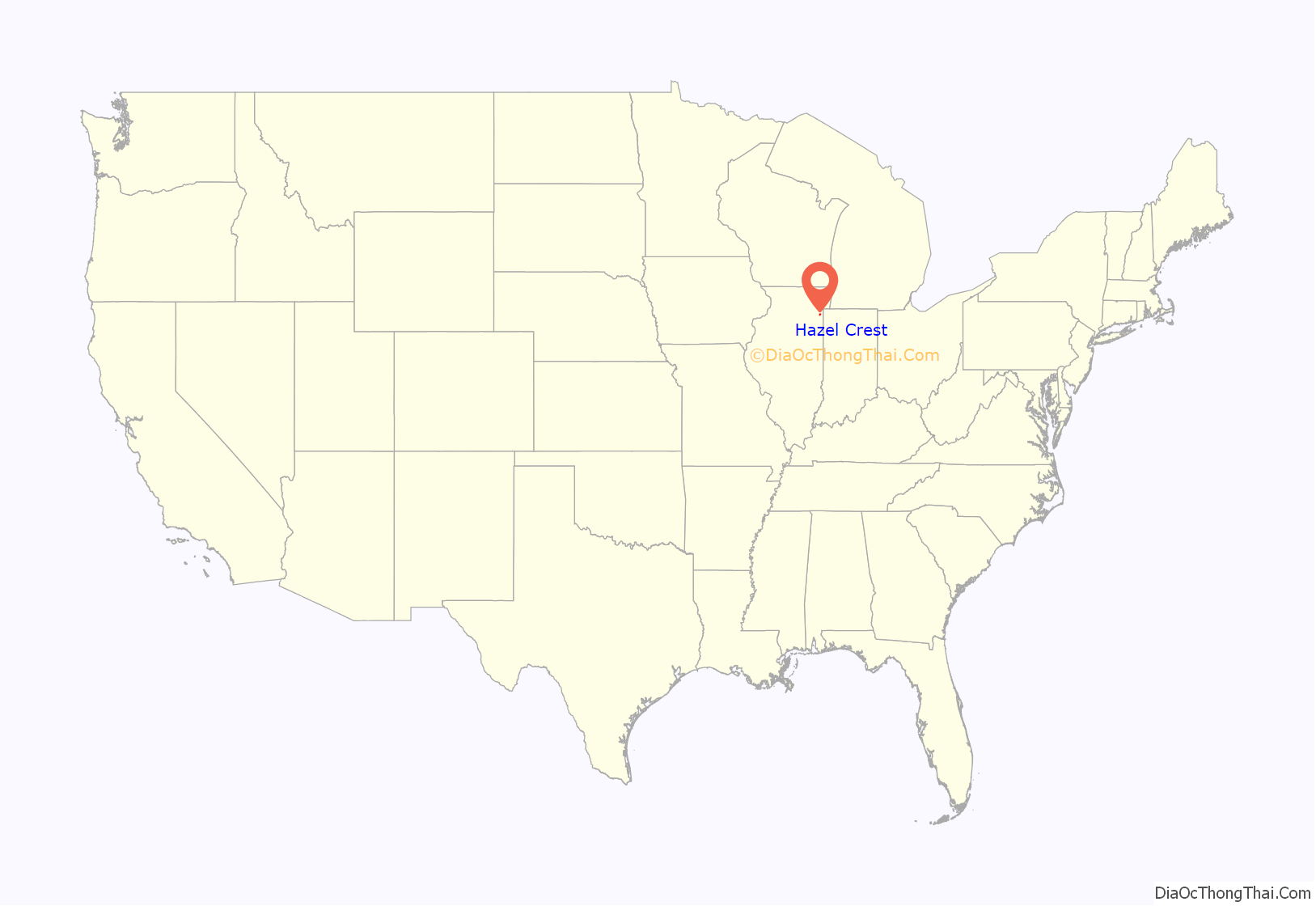
Hazel Crest location map. Where is Hazel Crest village?
History
Hazel Crest was first settled in 1870 in a farming community known as South Harvey. An enterprising newspaper editor named William McClintock moved here from Ohio in 1890, buying 80 acres (320,000 m) from farmer Fred Puhrman.
McClintock built a depot for a local milk train and subsequently opened transportation opportunities to Chicago and beyond. The depot also served as the area’s first real estate office, public meeting place, Sunday school, day school, and post office.
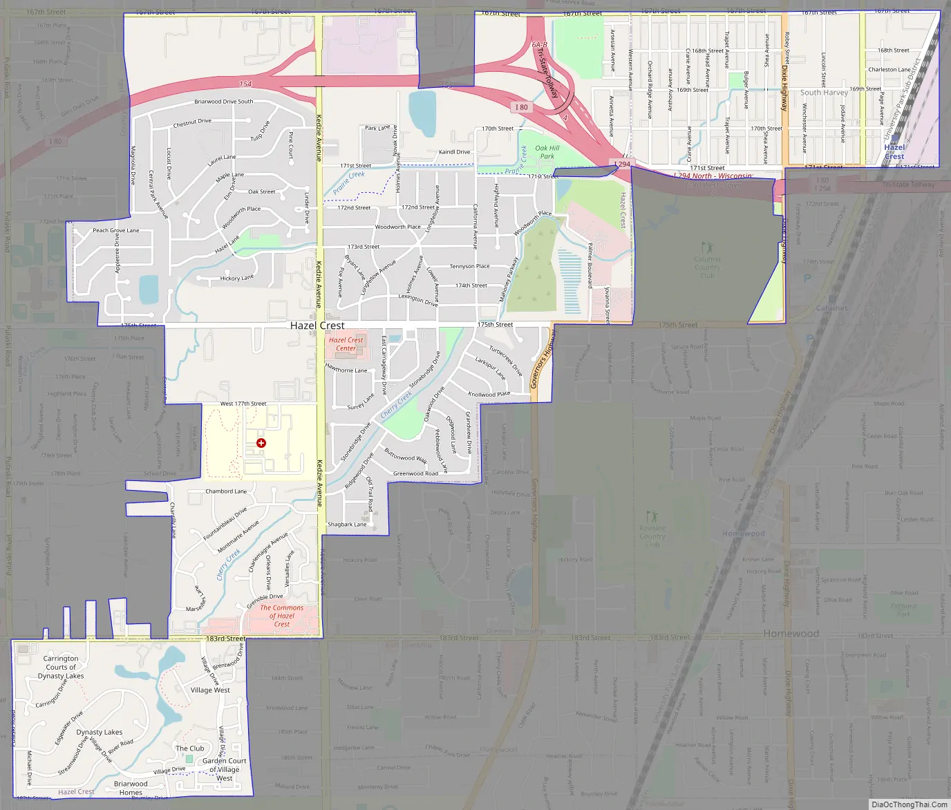
In 1900, the name was changed to Hazel Crest to reflect the large numbers of hazelnut bushes that grew on a rise of land just south of town. At the time, the southern border was 175th Street and the western edge of the village was Kedzie Avenue.
Hazel Crest was incorporated in 1912. Many of the families of the early residents still live in the village. Over the years, significant developments have occurred because groups of residents joined together for common goals.
Examples of this spirit range from the construction of the Community Church in 1894 to the 1984 adaptation of an elementary school building which has now become the Martin J. Kauchak Municipal Center, named for President Kauchak who served the village for twenty years (1973-1993).
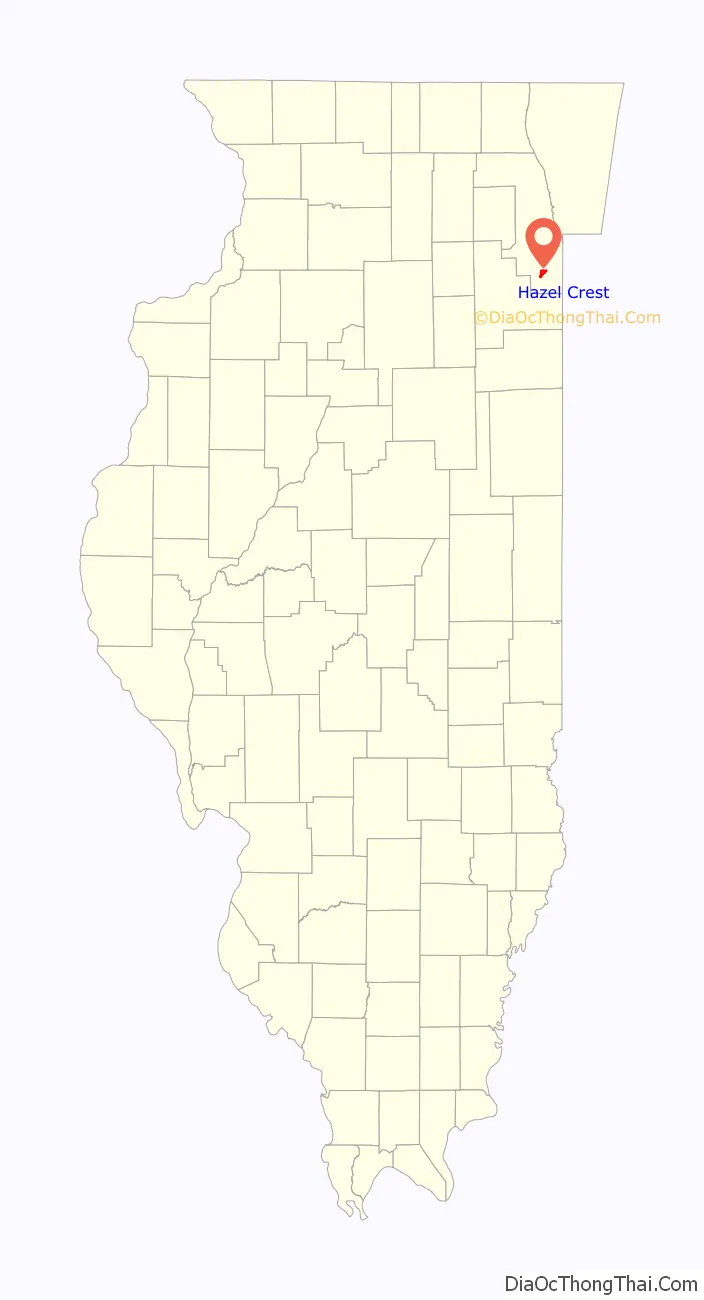
Hazel Crest Road Map
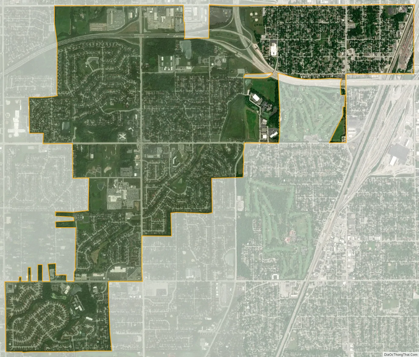
Hazel Crest city Satellite Map
Geography
Hazel Crest is located at 41°34′23″N 87°41′09″W / 41.573084°N 87.685870°W / 41.573084; -87.685870. The village is primarily located in Bremen Township, while the portion of the village south of 183rd Street is located in Rich Township and the portion east of I-80/94 is in Thornton Township. The village is located near Chicago in an area known as the Chicago Southland and is approximately 25 miles (40 km) south of the Chicago Loop.
The village is bordered by Markham to the north, Harvey to the northeast, East Hazel Crest to the east, Homewood to the southeast, Flossmoor to the south and Country Club Hills to the west.
According to the 2021 census gazetteer files, Hazel Crest has a total area of 3.42 square miles (8.86 km), of which 3.40 square miles (8.81 km) (or 99.39%) is land and 0.02 square miles (0.05 km) (or 0.61%) is water.
The village lies on the Tinley Moraine.
See also
Map of Illinois State and its subdivision:- Adams
- Alexander
- Bond
- Boone
- Brown
- Bureau
- Calhoun
- Carroll
- Cass
- Champaign
- Christian
- Clark
- Clay
- Clinton
- Coles
- Cook
- Crawford
- Cumberland
- De Kalb
- De Witt
- Douglas
- Dupage
- Edgar
- Edwards
- Effingham
- Fayette
- Ford
- Franklin
- Fulton
- Gallatin
- Greene
- Grundy
- Hamilton
- Hancock
- Hardin
- Henderson
- Henry
- Iroquois
- Jackson
- Jasper
- Jefferson
- Jersey
- Jo Daviess
- Johnson
- Kane
- Kankakee
- Kendall
- Knox
- La Salle
- Lake
- Lake Michigan
- Lawrence
- Lee
- Livingston
- Logan
- Macon
- Macoupin
- Madison
- Marion
- Marshall
- Mason
- Massac
- McDonough
- McHenry
- McLean
- Menard
- Mercer
- Monroe
- Montgomery
- Morgan
- Moultrie
- Ogle
- Peoria
- Perry
- Piatt
- Pike
- Pope
- Pulaski
- Putnam
- Randolph
- Richland
- Rock Island
- Saint Clair
- Saline
- Sangamon
- Schuyler
- Scott
- Shelby
- Stark
- Stephenson
- Tazewell
- Union
- Vermilion
- Wabash
- Warren
- Washington
- Wayne
- White
- Whiteside
- Will
- Williamson
- Winnebago
- Woodford
- Alabama
- Alaska
- Arizona
- Arkansas
- California
- Colorado
- Connecticut
- Delaware
- District of Columbia
- Florida
- Georgia
- Hawaii
- Idaho
- Illinois
- Indiana
- Iowa
- Kansas
- Kentucky
- Louisiana
- Maine
- Maryland
- Massachusetts
- Michigan
- Minnesota
- Mississippi
- Missouri
- Montana
- Nebraska
- Nevada
- New Hampshire
- New Jersey
- New Mexico
- New York
- North Carolina
- North Dakota
- Ohio
- Oklahoma
- Oregon
- Pennsylvania
- Rhode Island
- South Carolina
- South Dakota
- Tennessee
- Texas
- Utah
- Vermont
- Virginia
- Washington
- West Virginia
- Wisconsin
- Wyoming


