Hickory Hills is a city in Cook County, Illinois. Located principally in Palos Township, it is a suburb of Chicago. The population in 2020 was 14,505.
| Name: | Hickory Hills city |
|---|---|
| LSAD Code: | 25 |
| LSAD Description: | city (suffix) |
| State: | Illinois |
| County: | Cook County |
| Incorporated: | 1951 |
| Elevation: | 680 ft (210 m) |
| Total Area: | 2.84 sq mi (7.37 km²) |
| Land Area: | 2.84 sq mi (7.37 km²) |
| Water Area: | 0.00 sq mi (0.00 km²) 0% |
| Total Population: | 14,505 |
| Population Density: | 5,100.21/sq mi (1,968.88/km²) |
| Area code: | 708 |
| FIPS code: | 1734514 |
| Website: | www.hickoryhillsil.org |
Online Interactive Map
Click on ![]() to view map in "full screen" mode.
to view map in "full screen" mode.
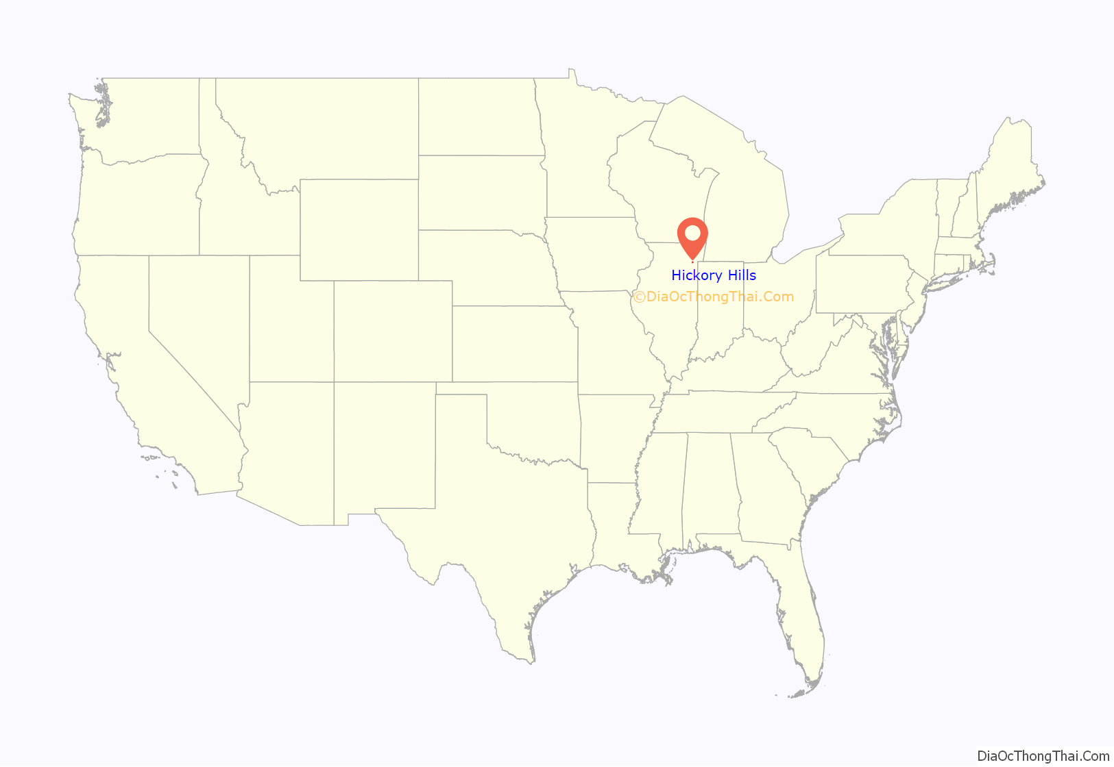
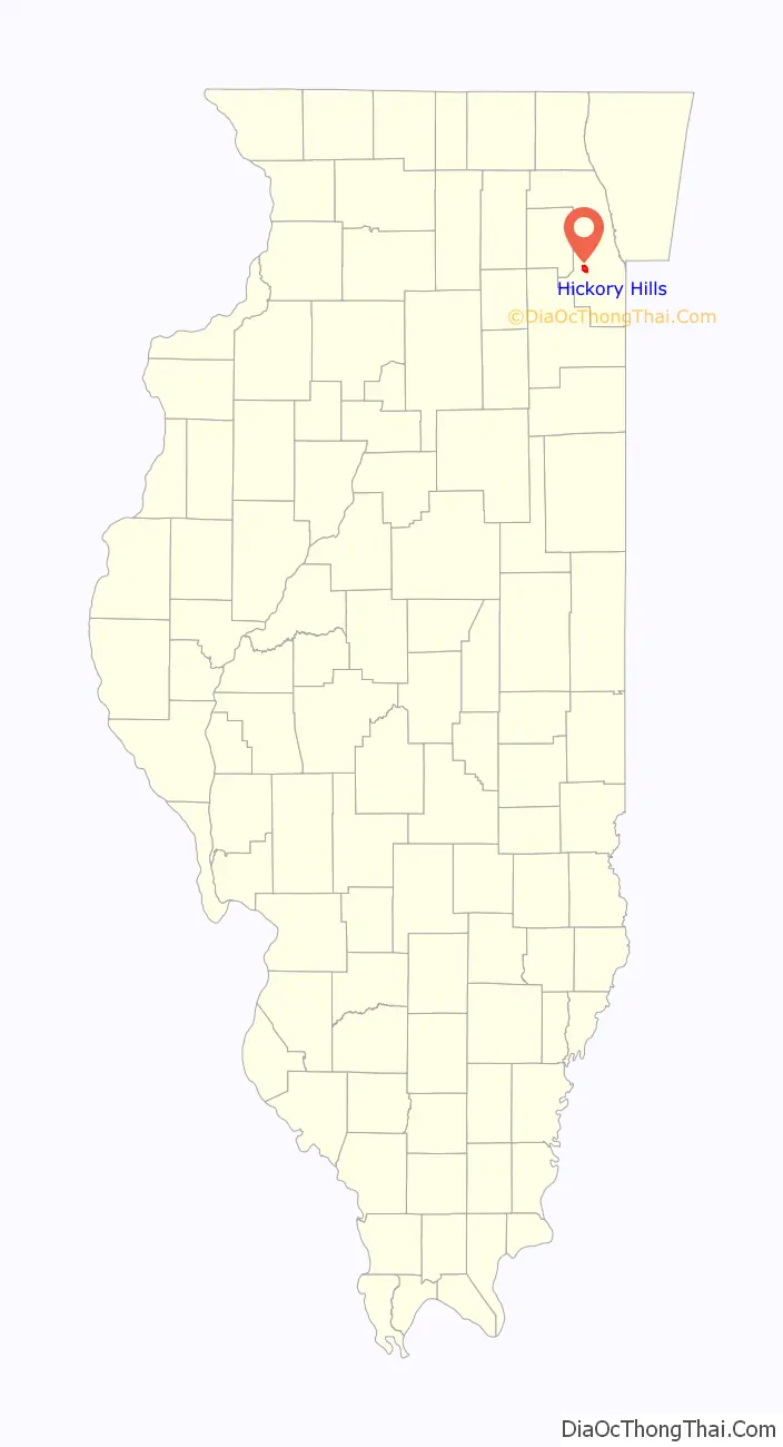
Hickory Hills location map. Where is Hickory Hills city?
History
The Hickory Hills Country Club was founded in 1917 in the area of the present-day city, with an 18-hole golf course designed by Scottish-American golfer James Foulis. The club exists to the present day.
The village of Hickory Hills was incorporated in September 1951 from the territory between 91st to 95th streets, and between 80th to 88th avenue. The village at the time of incorporation had around 450 residents. Voters approved a change from village to city form of government in October 1966.
In 1961, the Poor Clares nuns, a branch of the Franciscan order, acquired 20 acres of land at 89th street and Keane avenue with which to establish a new monastery. However, the monastery closed in 1992 due to dwindling numbers. The order returned to Chicago in 1999, moving to a new monastery in nearby Palos Park in 2003.
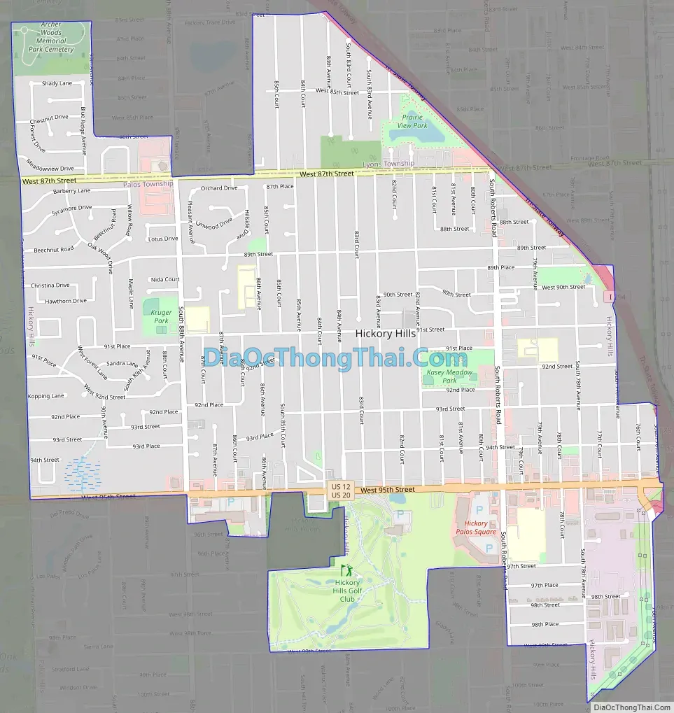
Hickory Hills Road Map
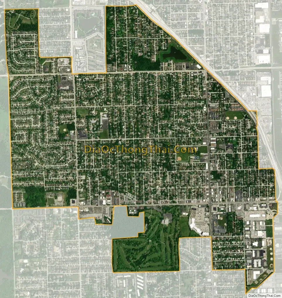
Hickory Hills city Satellite Map
Geography
Hickory Hills lies on the relatively hilly Tinley Moraine, a belt of ridges laid down about 14,000 years ago during the Wisconsin glaciation.
Most of present-day Hickory Hills lies in the northern part of Palos Township, excepting those parts north of 87th Street which lie in Lyons Township. The city’s main east-west thoroughfares are 87th Street and 95th Street, the latter carrying U.S. Route 12 and Route 20 across the South Chicago suburbs. The city is bounded on the east by the Tri-State Tollway (Interstate 294) and on the west by the Palos Forest Preserve, a 15,000 acre nature reserve. Neighboring communities are Palos Hills, Bridgeview and Justice.
See also
Map of Illinois State and its subdivision:- Adams
- Alexander
- Bond
- Boone
- Brown
- Bureau
- Calhoun
- Carroll
- Cass
- Champaign
- Christian
- Clark
- Clay
- Clinton
- Coles
- Cook
- Crawford
- Cumberland
- De Kalb
- De Witt
- Douglas
- Dupage
- Edgar
- Edwards
- Effingham
- Fayette
- Ford
- Franklin
- Fulton
- Gallatin
- Greene
- Grundy
- Hamilton
- Hancock
- Hardin
- Henderson
- Henry
- Iroquois
- Jackson
- Jasper
- Jefferson
- Jersey
- Jo Daviess
- Johnson
- Kane
- Kankakee
- Kendall
- Knox
- La Salle
- Lake
- Lake Michigan
- Lawrence
- Lee
- Livingston
- Logan
- Macon
- Macoupin
- Madison
- Marion
- Marshall
- Mason
- Massac
- McDonough
- McHenry
- McLean
- Menard
- Mercer
- Monroe
- Montgomery
- Morgan
- Moultrie
- Ogle
- Peoria
- Perry
- Piatt
- Pike
- Pope
- Pulaski
- Putnam
- Randolph
- Richland
- Rock Island
- Saint Clair
- Saline
- Sangamon
- Schuyler
- Scott
- Shelby
- Stark
- Stephenson
- Tazewell
- Union
- Vermilion
- Wabash
- Warren
- Washington
- Wayne
- White
- Whiteside
- Will
- Williamson
- Winnebago
- Woodford
- Alabama
- Alaska
- Arizona
- Arkansas
- California
- Colorado
- Connecticut
- Delaware
- District of Columbia
- Florida
- Georgia
- Hawaii
- Idaho
- Illinois
- Indiana
- Iowa
- Kansas
- Kentucky
- Louisiana
- Maine
- Maryland
- Massachusetts
- Michigan
- Minnesota
- Mississippi
- Missouri
- Montana
- Nebraska
- Nevada
- New Hampshire
- New Jersey
- New Mexico
- New York
- North Carolina
- North Dakota
- Ohio
- Oklahoma
- Oregon
- Pennsylvania
- Rhode Island
- South Carolina
- South Dakota
- Tennessee
- Texas
- Utah
- Vermont
- Virginia
- Washington
- West Virginia
- Wisconsin
- Wyoming


