Hillside is a village in Cook County, Illinois, United States. As of the 2020 census it had a population of 8,320.
| Name: | Hillside village |
|---|---|
| LSAD Code: | 47 |
| LSAD Description: | village (suffix) |
| State: | Illinois |
| County: | Cook County |
| Total Area: | 3.17 sq mi (8.20 km²) |
| Land Area: | 3.17 sq mi (8.20 km²) |
| Water Area: | 0.00 sq mi (0.00 km²) |
| Total Population: | 8,320 |
| Population Density: | 2,626.26/sq mi (1,014.11/km²) |
| Area code: | 708/464 |
| FIPS code: | 1735086 |
| Website: | www.hillside-il.org |
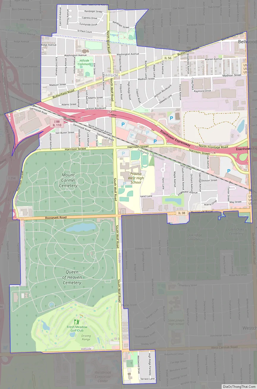
Online Interactive Map
Click on ![]() to view map in "full screen" mode.
to view map in "full screen" mode.
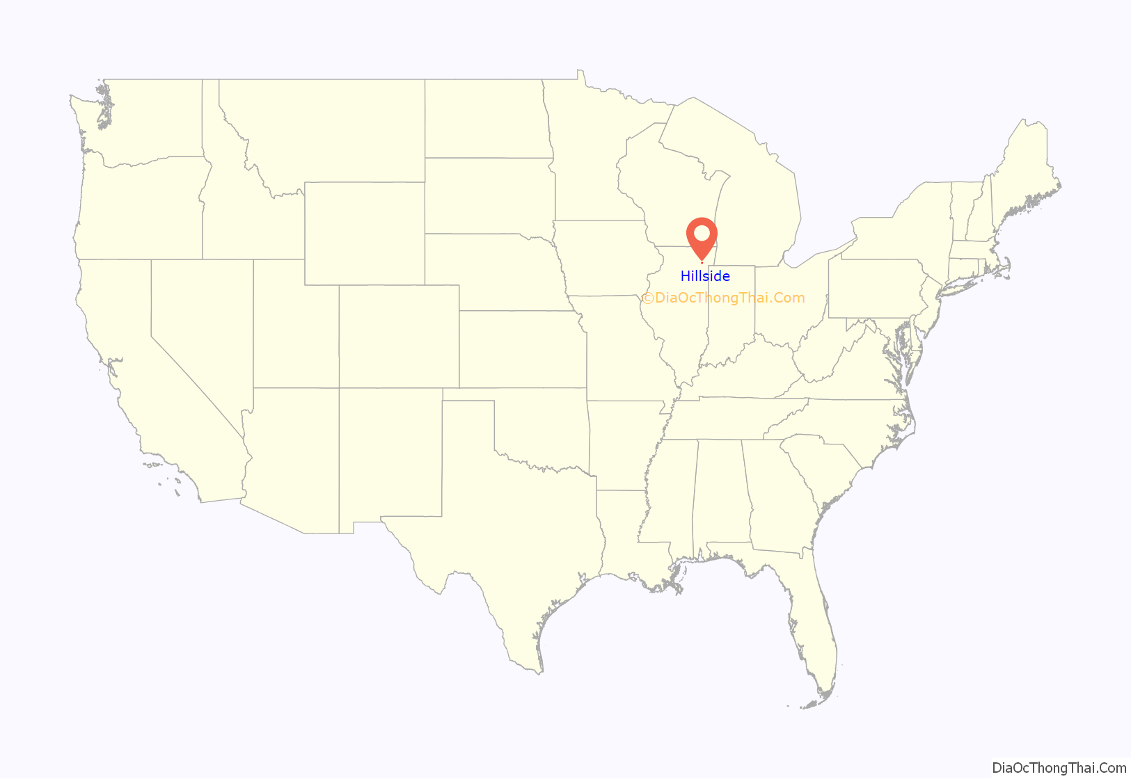
Hillside location map. Where is Hillside village?
History
German Lutheran immigrants planted farms and constructed Hillside’s first school and church (Immanuel) near the intersection of Wolf and 22nd Street in the 1840s, which marked the start of the community’s formal settlement. Although the majority of Hillside’s later construction was located north of 12th Street, Immanuel Lutheran Church and School were incorporated inside village boundaries, giving Hillside its characteristic form.
However, Marion Covell found a significant limestone deposit just a few feet below the surface of his property during the 1850s, despite the fact that farming was the main industry at the time. The quarry he started in 1854 was still in operation until the middle of the 1970s, providing crushed stone for the construction of roads across the Chicago metropolitan area. The John Sexton Company purchased the quarry in 1979 and operated it as a sanitary landfill.
Cemeteries also took the place of active farming immediately beyond Hillside on its western and southern borders, first with Mt. Carmel in 1894, then Oak Ridge, Glen Oak, and ultimately Queen of Heaven in 1947. The Illinois Central Railroad station and the Chicago, Aurora & Elgin Railroad interurban’s 12th Street spur made the cemetery easily accessible, which led to the development of taverns, restaurants, monument businesses, greenhouses, and flower stores. The Illinois Central Railroad station, known as Hillside because westbound trains had to ascend a slope at this location, served as the inspiration for the village’s name when it was founded in 1905.
The community had its first significant residential growth during the 1920s when additional farmland was split up and sold. In the 1920s, there were substantial holdings obtained by St. Domitilla Roman Catholic Church and Mater Dolorosa Seminary. These institutions were formerly surrounded by open space, but following World War II, when Hillside’s population quadrupled (from 1,080 to 2,131) between 1940 and 1950, then surged to 7,794 in 1960, it was submerged in a wave of residential building. Hillside Retail Mall, a pioneering regional shopping area, was next to the just finished Congress Expressway in 1956. Soon after, a Holiday Inn, Hillside Theaters, the High Point Tower office structure, and the industrial park on Fencl Lane surrounding the center.
Hillside Retail Center’s heyday was brief due to the construction of newer, bigger malls and shopping complexes in the 1960s. The mall’s deterioration was unaffected by changes to the exterior look of the building, its tenants, or its ownership. The majority of the mall was razed in 1997 to make room for a large auto dealership.
According to the 2010 census, Hillside has a total area of 3.18 square miles (8.24 km), all land.
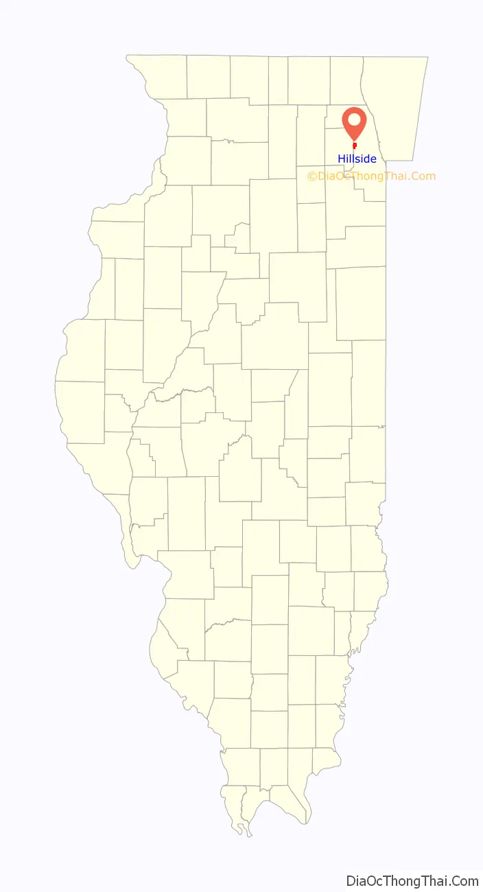
Hillside Road Map
Hillside city Satellite Map
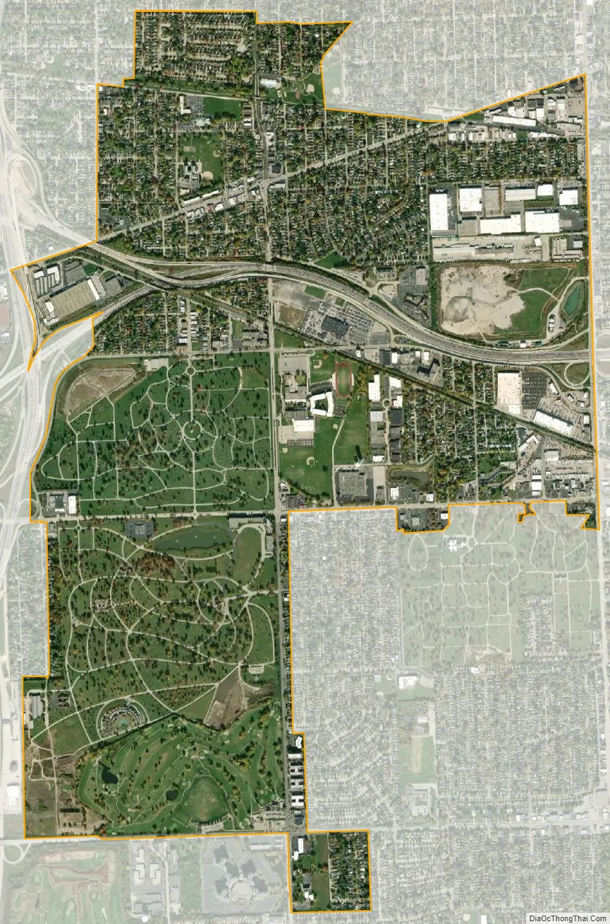
Geography
Hillside is located at 41°52′29″N 87°54′1″W / 41.87472°N 87.90028°W / 41.87472; -87.90028 (41.874797, −87.900372).
According to the 2021 census gazetteer files, Hillside has a total area of 3.17 square miles (8.21 km), all land.
See also
Map of Illinois State and its subdivision:- Adams
- Alexander
- Bond
- Boone
- Brown
- Bureau
- Calhoun
- Carroll
- Cass
- Champaign
- Christian
- Clark
- Clay
- Clinton
- Coles
- Cook
- Crawford
- Cumberland
- De Kalb
- De Witt
- Douglas
- Dupage
- Edgar
- Edwards
- Effingham
- Fayette
- Ford
- Franklin
- Fulton
- Gallatin
- Greene
- Grundy
- Hamilton
- Hancock
- Hardin
- Henderson
- Henry
- Iroquois
- Jackson
- Jasper
- Jefferson
- Jersey
- Jo Daviess
- Johnson
- Kane
- Kankakee
- Kendall
- Knox
- La Salle
- Lake
- Lake Michigan
- Lawrence
- Lee
- Livingston
- Logan
- Macon
- Macoupin
- Madison
- Marion
- Marshall
- Mason
- Massac
- McDonough
- McHenry
- McLean
- Menard
- Mercer
- Monroe
- Montgomery
- Morgan
- Moultrie
- Ogle
- Peoria
- Perry
- Piatt
- Pike
- Pope
- Pulaski
- Putnam
- Randolph
- Richland
- Rock Island
- Saint Clair
- Saline
- Sangamon
- Schuyler
- Scott
- Shelby
- Stark
- Stephenson
- Tazewell
- Union
- Vermilion
- Wabash
- Warren
- Washington
- Wayne
- White
- Whiteside
- Will
- Williamson
- Winnebago
- Woodford
- Alabama
- Alaska
- Arizona
- Arkansas
- California
- Colorado
- Connecticut
- Delaware
- District of Columbia
- Florida
- Georgia
- Hawaii
- Idaho
- Illinois
- Indiana
- Iowa
- Kansas
- Kentucky
- Louisiana
- Maine
- Maryland
- Massachusetts
- Michigan
- Minnesota
- Mississippi
- Missouri
- Montana
- Nebraska
- Nevada
- New Hampshire
- New Jersey
- New Mexico
- New York
- North Carolina
- North Dakota
- Ohio
- Oklahoma
- Oregon
- Pennsylvania
- Rhode Island
- South Carolina
- South Dakota
- Tennessee
- Texas
- Utah
- Vermont
- Virginia
- Washington
- West Virginia
- Wisconsin
- Wyoming


