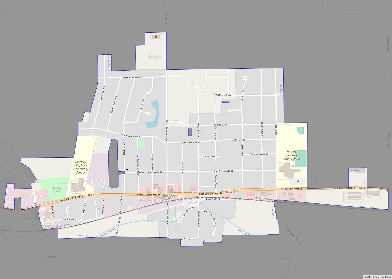
Hinckley is a village in Squaw Grove Township, DeKalb County, Illinois, United States. The population was 2006 at the 2020 census, a slight decline from 2,070 at the 2010 census.
| Name: | Hinckley village |
|---|---|
| LSAD Code: | 47 |
| LSAD Description: | village (suffix) |
| State: | Illinois |
| County: | DeKalb County |
| Total Area: | 0.85 sq mi (2.21 km²) |
| Land Area: | 0.85 sq mi (2.19 km²) |
| Water Area: | 0.01 sq mi (0.02 km²) |
| Total Population: | 2,006 |
| Population Density: | 2,368.36/sq mi (914.57/km²) |
| Area code: | 815 |
| FIPS code: | 1735268 |
| Website: | hinckleyil.com |
Online Interactive Map
Click on ![]() to view map in "full screen" mode.
to view map in "full screen" mode.
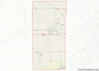
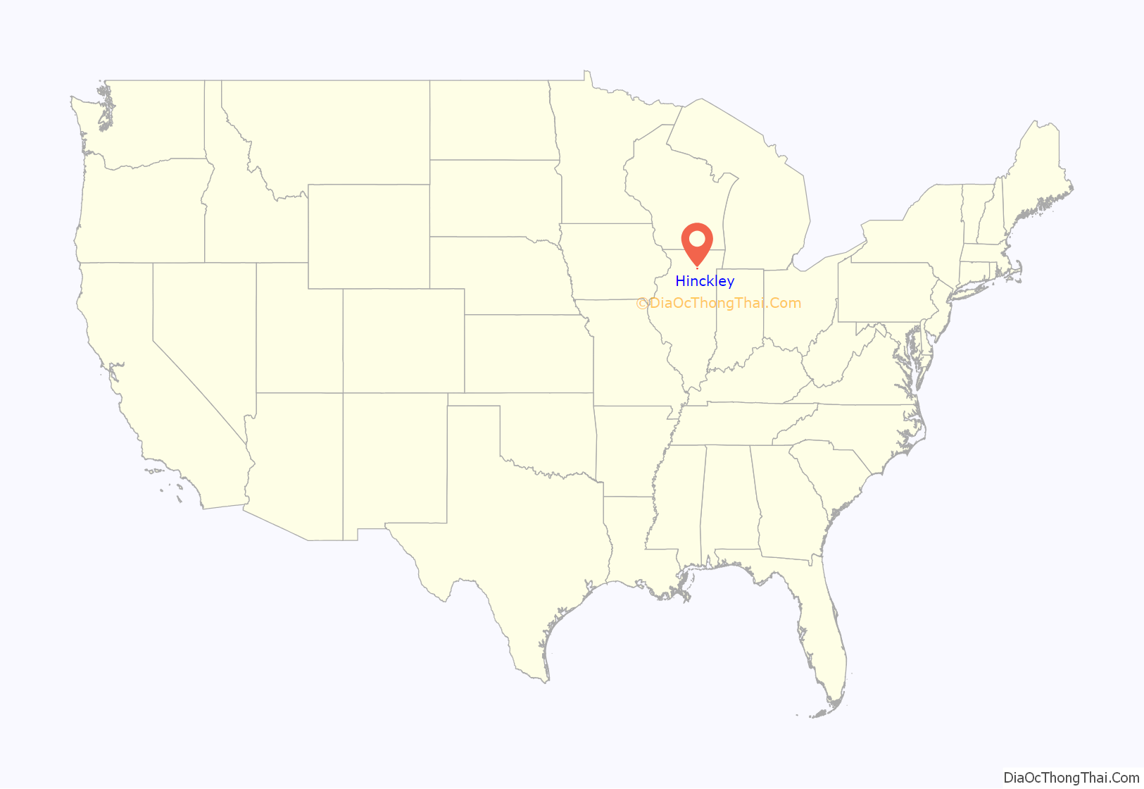
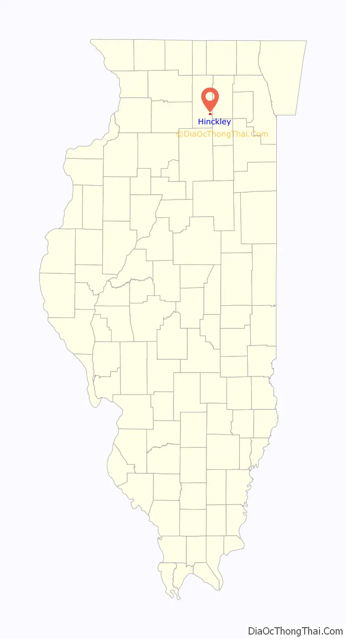
Hinckley location map. Where is Hinckley village?
History
In the 1830s, a Mr. Hollenbeck, who lived near Ottawa, Illinois, was traveling the then-unsettled territory. He found a grove of trees west of the present-day Hinckley and named it Squaw Grove, after the Native American women who were tending camp.
In the spring of 1835, John Sebree built a log house. The following year, more families came to the area and a small town was started at the west edge of what is now Hinckley, which was named Squaw Grove.
Hinckley was conceived in the 1870s as the brainchild of Francis Hinckley, president of the Chicago and Iowa Railroad. The rail line was placed one-half mile east of the Village of Squaw Grove, which was then named Hinckley.
The first store came to Hinckley in 1872. By 1876, Hinckley had twenty businesses.
The Methodist Church began in 1835, and St. Paul’s Church came in 1885. A volunteer fire brigade was organized in 1886.
In 1889, a tornado destroyed most of the village.
On January 7, 1927, the Harlem Globetrotters played their first road game in Hinckley.
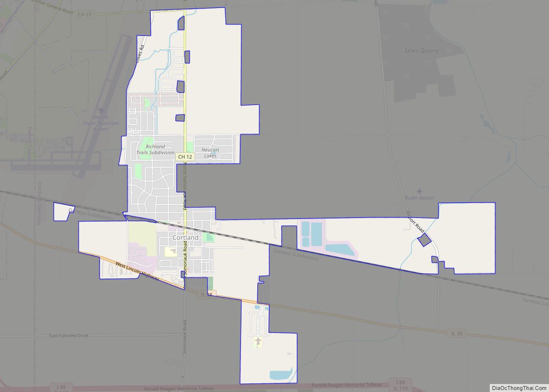
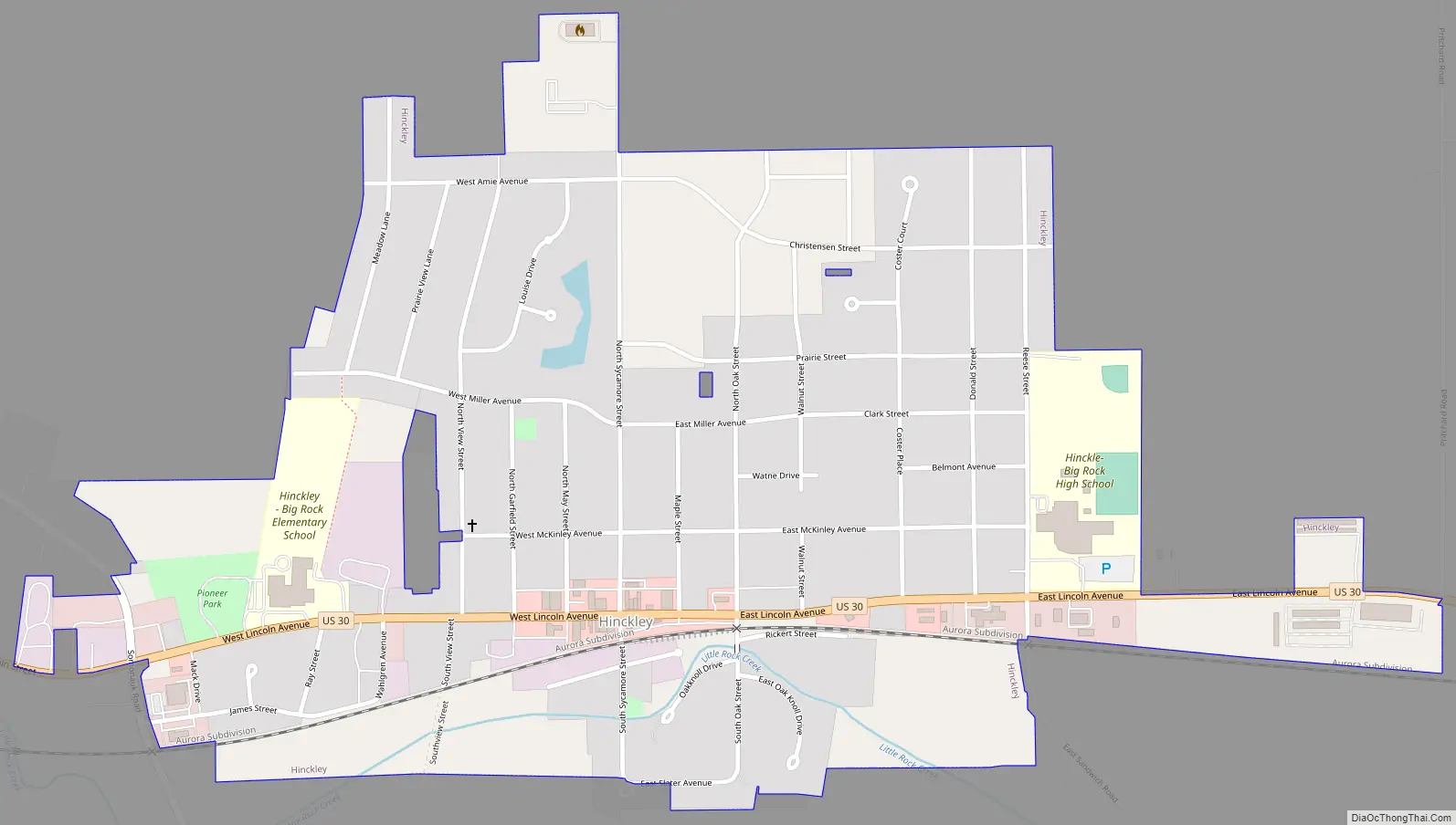
Hinckley Road Map
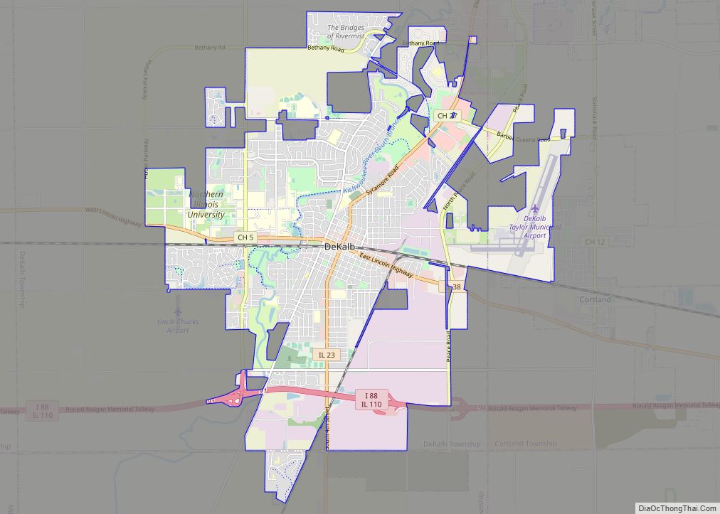
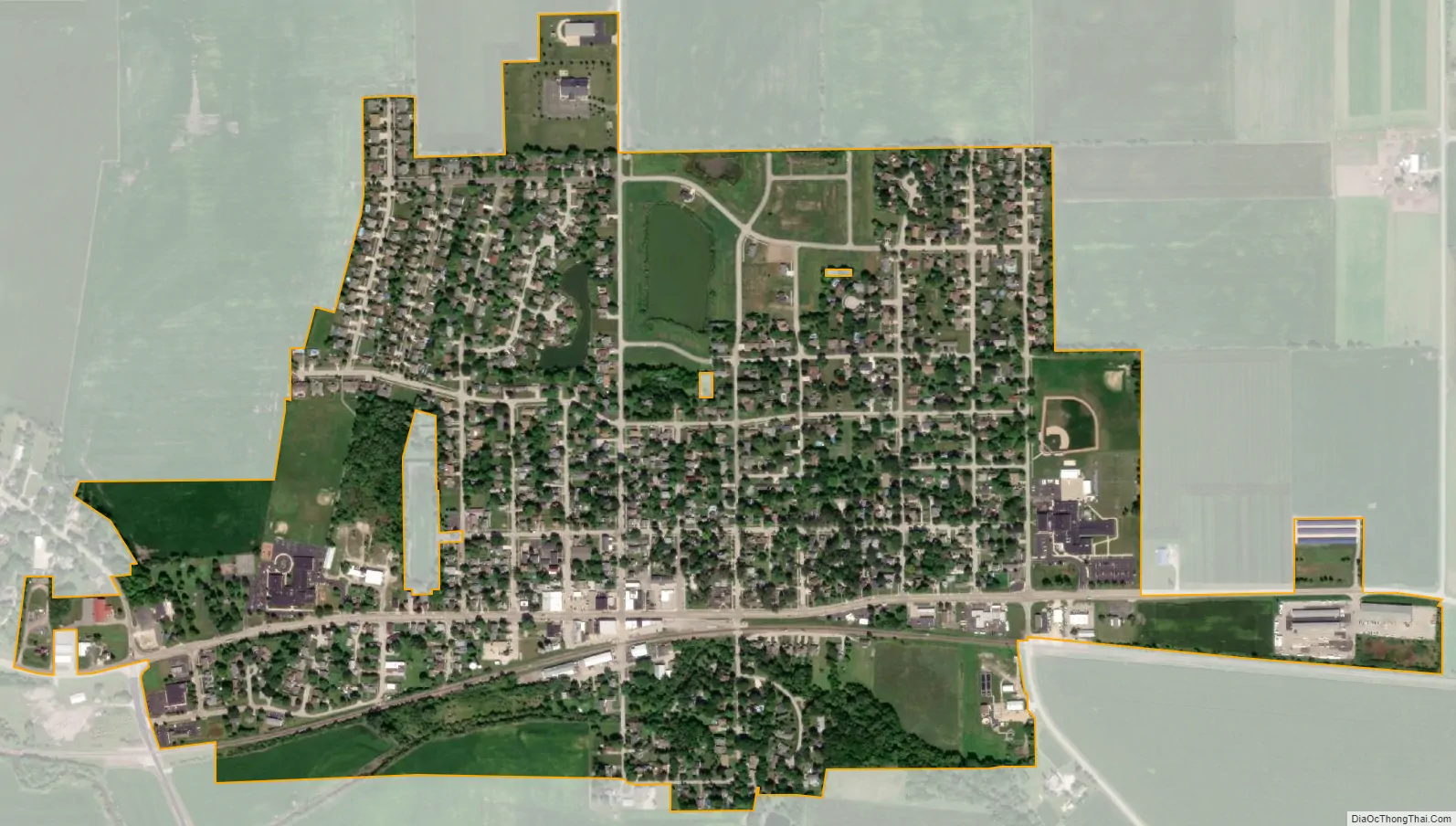
Hinckley city Satellite Map
Geography
Hinckley is located at 41°46′17″N 88°38′26″W / 41.77139°N 88.64056°W / 41.77139; -88.64056 (41.771389, -88.640526).
According to the 2021 census gazetteer files, Hinckley has a total area of 0.86 square miles (2.23 km), of which 0.85 square miles (2.20 km) (or 99.06%) is land and 0.01 square miles (0.03 km) (or 0.94%) is water.
See also
Map of Illinois State and its subdivision:- Adams
- Alexander
- Bond
- Boone
- Brown
- Bureau
- Calhoun
- Carroll
- Cass
- Champaign
- Christian
- Clark
- Clay
- Clinton
- Coles
- Cook
- Crawford
- Cumberland
- De Kalb
- De Witt
- Douglas
- Dupage
- Edgar
- Edwards
- Effingham
- Fayette
- Ford
- Franklin
- Fulton
- Gallatin
- Greene
- Grundy
- Hamilton
- Hancock
- Hardin
- Henderson
- Henry
- Iroquois
- Jackson
- Jasper
- Jefferson
- Jersey
- Jo Daviess
- Johnson
- Kane
- Kankakee
- Kendall
- Knox
- La Salle
- Lake
- Lake Michigan
- Lawrence
- Lee
- Livingston
- Logan
- Macon
- Macoupin
- Madison
- Marion
- Marshall
- Mason
- Massac
- McDonough
- McHenry
- McLean
- Menard
- Mercer
- Monroe
- Montgomery
- Morgan
- Moultrie
- Ogle
- Peoria
- Perry
- Piatt
- Pike
- Pope
- Pulaski
- Putnam
- Randolph
- Richland
- Rock Island
- Saint Clair
- Saline
- Sangamon
- Schuyler
- Scott
- Shelby
- Stark
- Stephenson
- Tazewell
- Union
- Vermilion
- Wabash
- Warren
- Washington
- Wayne
- White
- Whiteside
- Will
- Williamson
- Winnebago
- Woodford
- Alabama
- Alaska
- Arizona
- Arkansas
- California
- Colorado
- Connecticut
- Delaware
- District of Columbia
- Florida
- Georgia
- Hawaii
- Idaho
- Illinois
- Indiana
- Iowa
- Kansas
- Kentucky
- Louisiana
- Maine
- Maryland
- Massachusetts
- Michigan
- Minnesota
- Mississippi
- Missouri
- Montana
- Nebraska
- Nevada
- New Hampshire
- New Jersey
- New Mexico
- New York
- North Carolina
- North Dakota
- Ohio
- Oklahoma
- Oregon
- Pennsylvania
- Rhode Island
- South Carolina
- South Dakota
- Tennessee
- Texas
- Utah
- Vermont
- Virginia
- Washington
- West Virginia
- Wisconsin
- Wyoming