Hopkins Park is a village in Kankakee County, Illinois, United States. The population was 603 at the 2010 census, down from 711 at the 2000 census. It is part of the Kankakee–Bradley Metropolitan Statistical Area.
| Name: | Hopkins Park village |
|---|---|
| LSAD Code: | 47 |
| LSAD Description: | village (suffix) |
| State: | Illinois |
| County: | Kankakee County |
| Elevation: | 674 ft (205 m) |
| Total Area: | 4.14 sq mi (10.71 km²) |
| Land Area: | 4.14 sq mi (10.71 km²) |
| Water Area: | 0.00 sq mi (0.00 km²) |
| Total Population: | 597 |
| Population Density: | 144.31/sq mi (55.72/km²) |
| ZIP code: | 60944 |
| FIPS code: | 1736190 |
| Website: | www.hopkinspark-il.org |
Online Interactive Map
Click on ![]() to view map in "full screen" mode.
to view map in "full screen" mode.
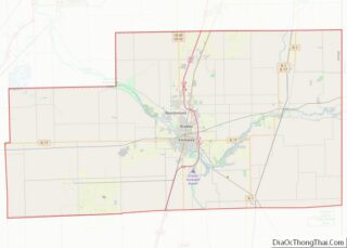
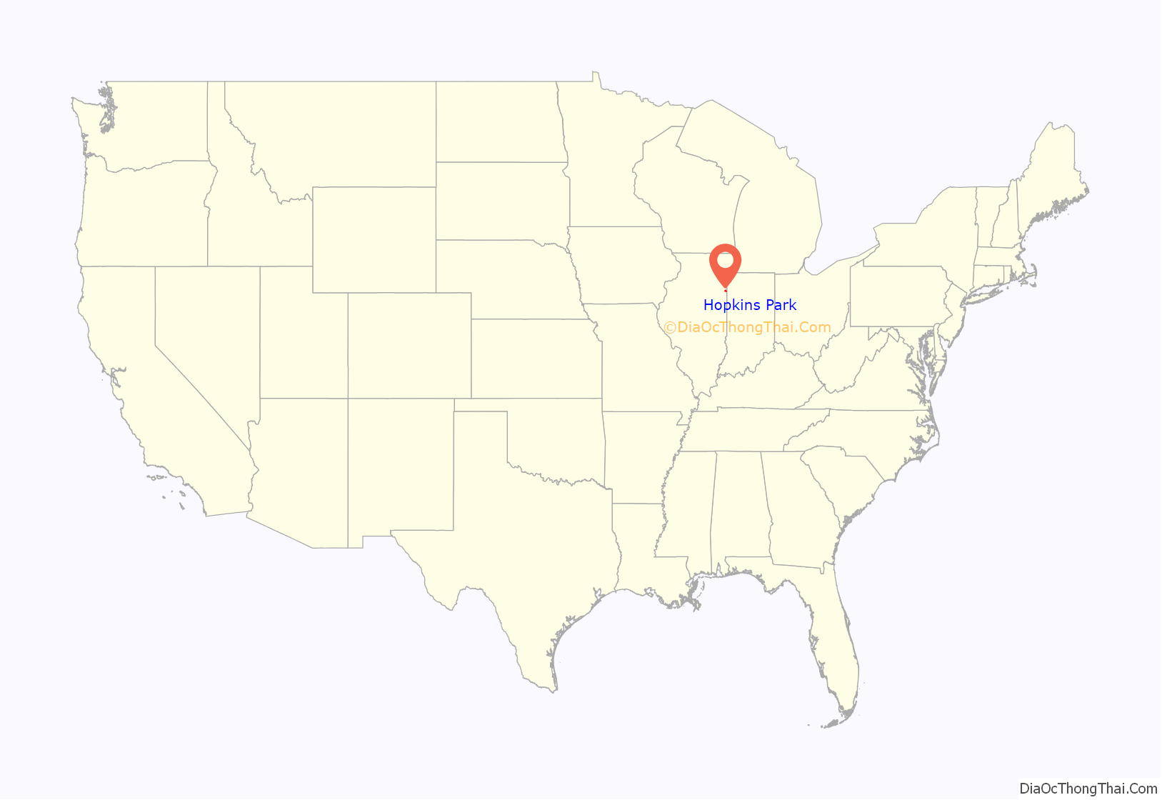
Hopkins Park location map. Where is Hopkins Park village?
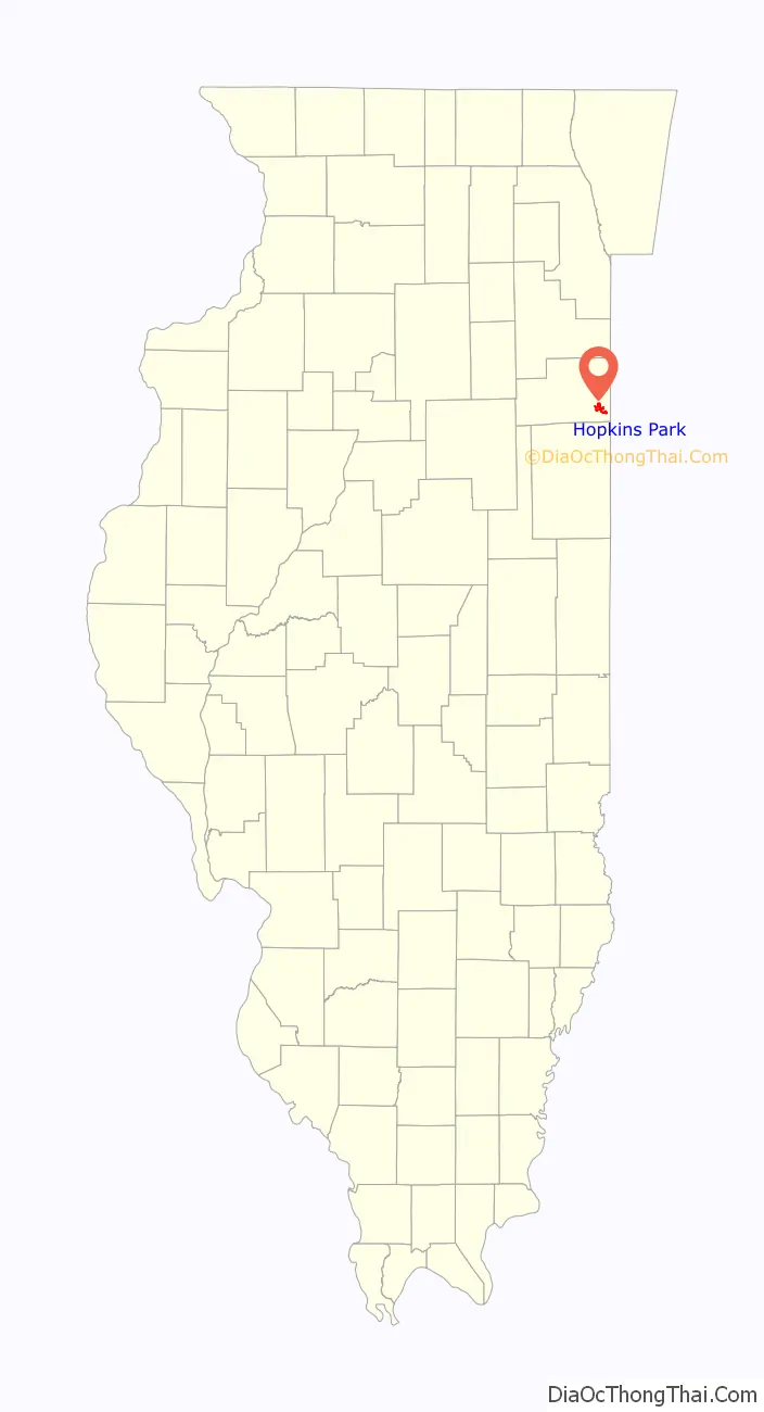
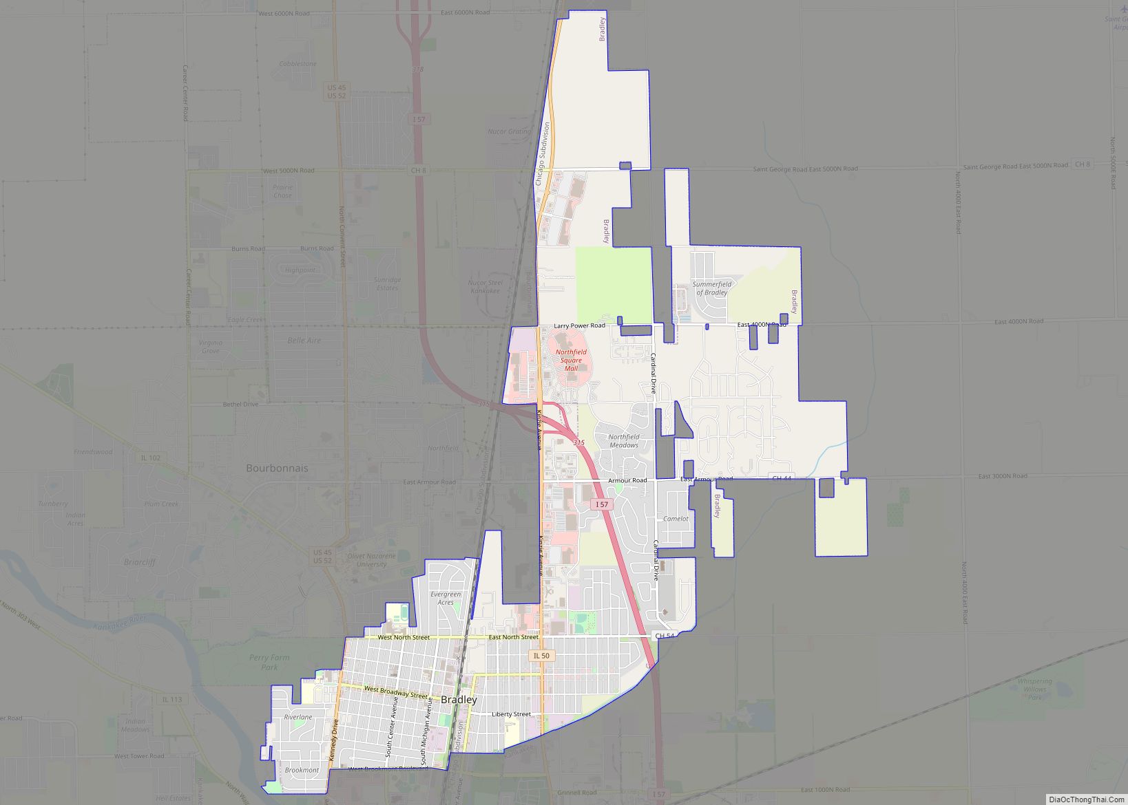
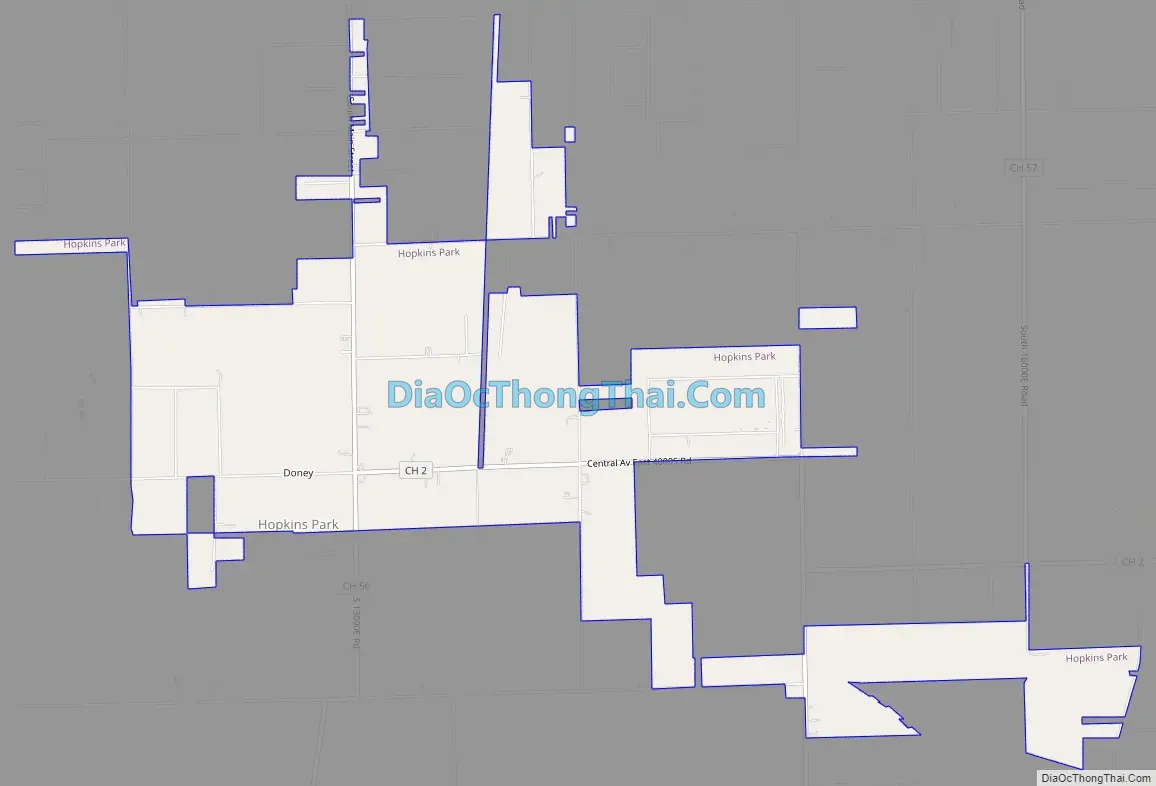
Hopkins Park Road Map
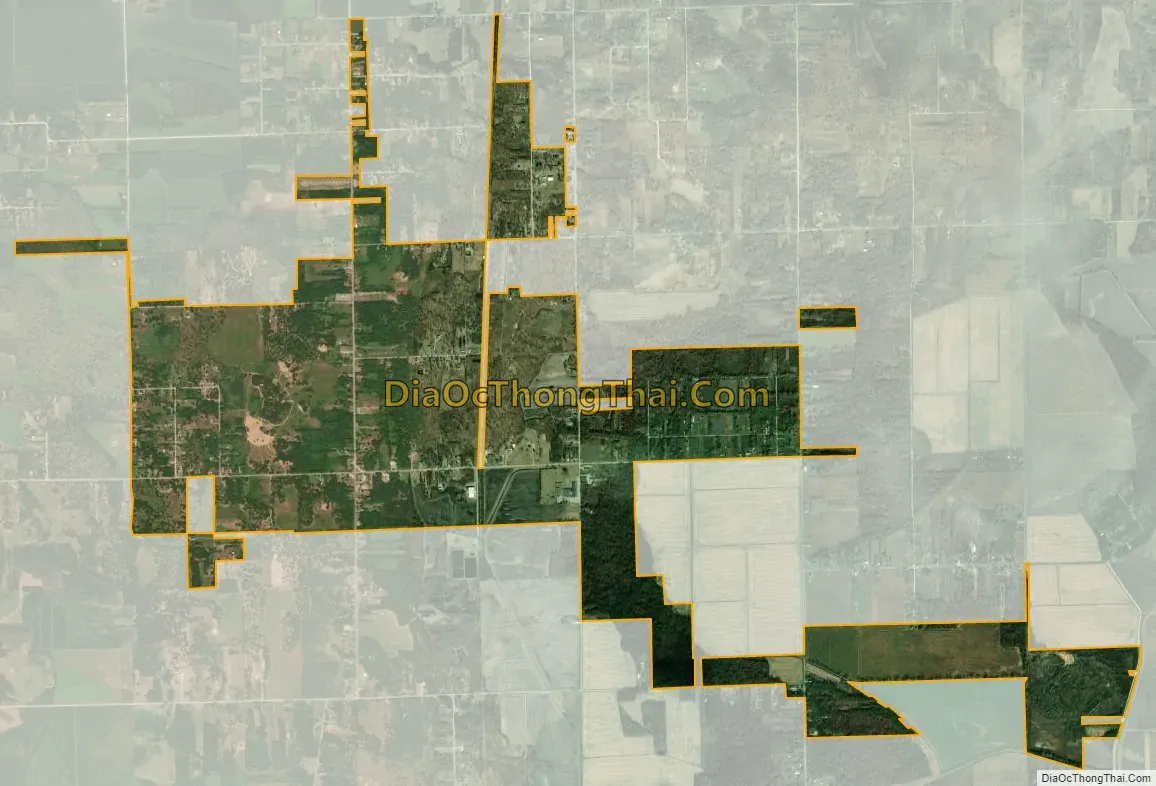
Hopkins Park city Satellite Map
Geography
Hopkins Park is located in southeastern Kankakee County at 41°4′21″N 87°36′18″W / 41.07250°N 87.60500°W / 41.07250; -87.60500 (41.072450, -87.605109). It is 15 miles (24 km) southeast of Kankakee, the county seat, and includes the former unincorporated community of Doney.
According to the 2010 census, Hopkins Park has a total area of 3.75 square miles (9.71 km), all land.
Hopkins Park is located on the Pembroke Savannah.
The Pembroke Savannah Nature Preserve is nearby.
See also
Map of Illinois State and its subdivision:- Adams
- Alexander
- Bond
- Boone
- Brown
- Bureau
- Calhoun
- Carroll
- Cass
- Champaign
- Christian
- Clark
- Clay
- Clinton
- Coles
- Cook
- Crawford
- Cumberland
- De Kalb
- De Witt
- Douglas
- Dupage
- Edgar
- Edwards
- Effingham
- Fayette
- Ford
- Franklin
- Fulton
- Gallatin
- Greene
- Grundy
- Hamilton
- Hancock
- Hardin
- Henderson
- Henry
- Iroquois
- Jackson
- Jasper
- Jefferson
- Jersey
- Jo Daviess
- Johnson
- Kane
- Kankakee
- Kendall
- Knox
- La Salle
- Lake
- Lake Michigan
- Lawrence
- Lee
- Livingston
- Logan
- Macon
- Macoupin
- Madison
- Marion
- Marshall
- Mason
- Massac
- McDonough
- McHenry
- McLean
- Menard
- Mercer
- Monroe
- Montgomery
- Morgan
- Moultrie
- Ogle
- Peoria
- Perry
- Piatt
- Pike
- Pope
- Pulaski
- Putnam
- Randolph
- Richland
- Rock Island
- Saint Clair
- Saline
- Sangamon
- Schuyler
- Scott
- Shelby
- Stark
- Stephenson
- Tazewell
- Union
- Vermilion
- Wabash
- Warren
- Washington
- Wayne
- White
- Whiteside
- Will
- Williamson
- Winnebago
- Woodford
- Alabama
- Alaska
- Arizona
- Arkansas
- California
- Colorado
- Connecticut
- Delaware
- District of Columbia
- Florida
- Georgia
- Hawaii
- Idaho
- Illinois
- Indiana
- Iowa
- Kansas
- Kentucky
- Louisiana
- Maine
- Maryland
- Massachusetts
- Michigan
- Minnesota
- Mississippi
- Missouri
- Montana
- Nebraska
- Nevada
- New Hampshire
- New Jersey
- New Mexico
- New York
- North Carolina
- North Dakota
- Ohio
- Oklahoma
- Oregon
- Pennsylvania
- Rhode Island
- South Carolina
- South Dakota
- Tennessee
- Texas
- Utah
- Vermont
- Virginia
- Washington
- West Virginia
- Wisconsin
- Wyoming