Ingalls Park is a census-designated place and suburb of Joliet in Will County, Illinois, United States. The population was 3,314 at the 2010 census. The town consists of a small neighborhood and a few businesses between Joliet’s Pilcher Park and Interstate 80. It is the nearest town to Chicagoland Speedway, which hosted the NASCAR Cup Series from 2001 to 2019.
| Name: | Ingalls Park CDP |
|---|---|
| LSAD Code: | 57 |
| LSAD Description: | CDP (suffix) |
| State: | Illinois |
| County: | Will County |
| Elevation: | 623 ft (190 m) |
| Total Area: | 1.11 sq mi (2.88 km²) |
| Land Area: | 1.11 sq mi (2.88 km²) |
| Water Area: | 0.00 sq mi (0.00 km²) |
| Total Population: | 3,460 |
| Population Density: | 3,117.12/sq mi (1,203.04/km²) |
| ZIP code: | 60433 |
| FIPS code: | 1737465 |
Online Interactive Map
Click on ![]() to view map in "full screen" mode.
to view map in "full screen" mode.
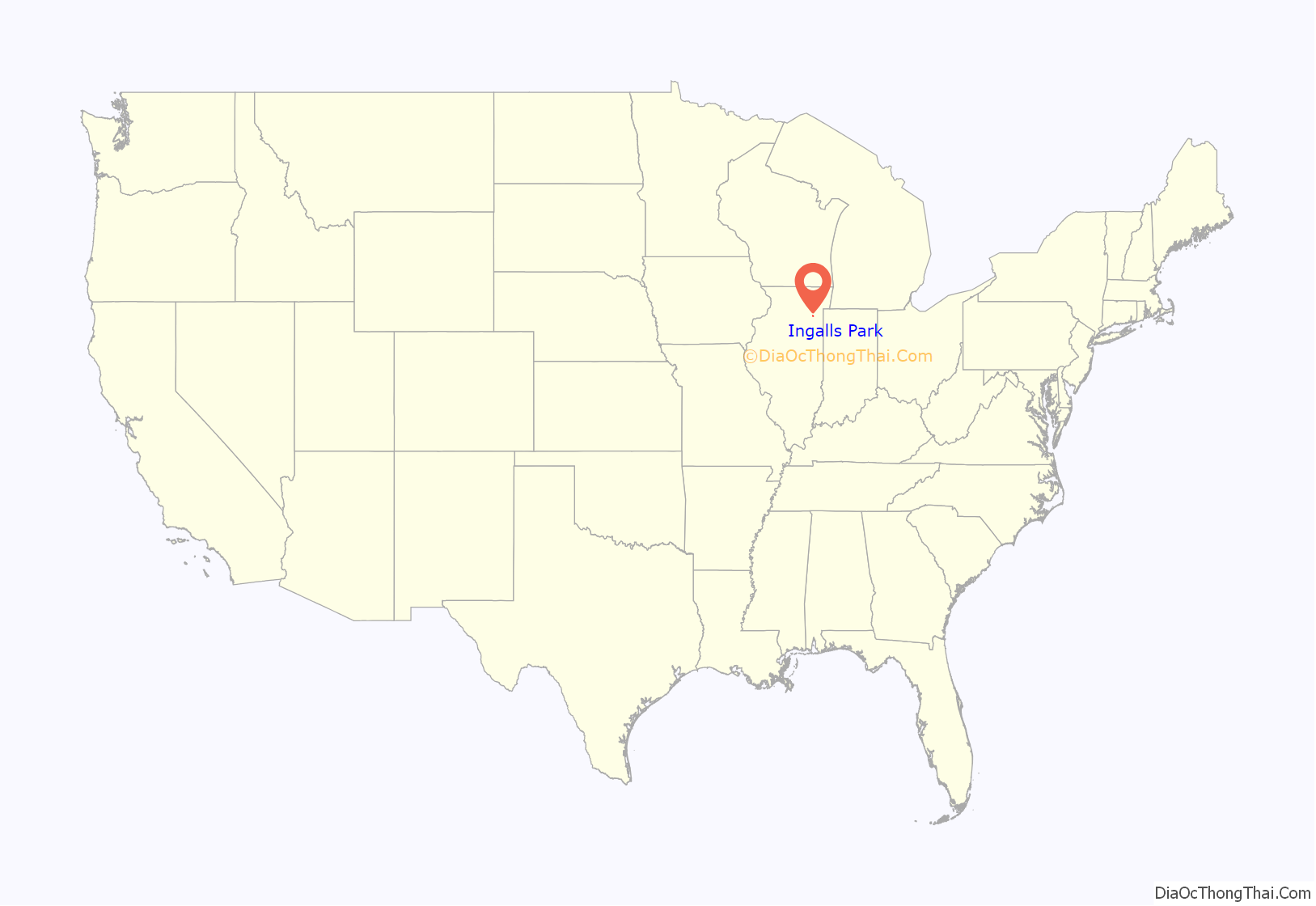
Ingalls Park location map. Where is Ingalls Park CDP?
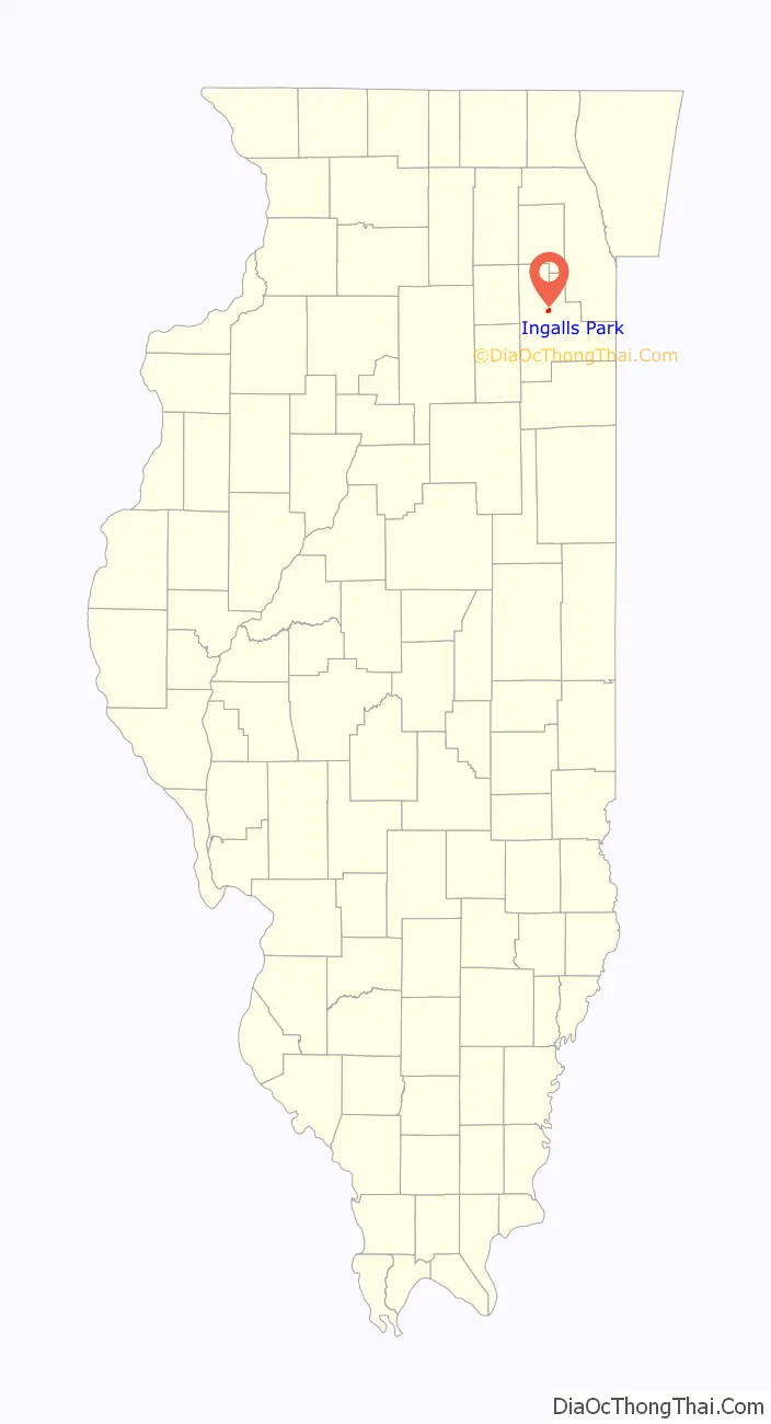
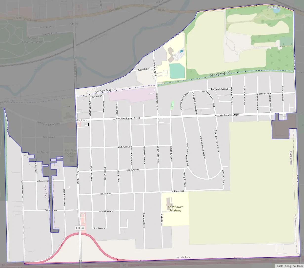
Ingalls Park Road Map
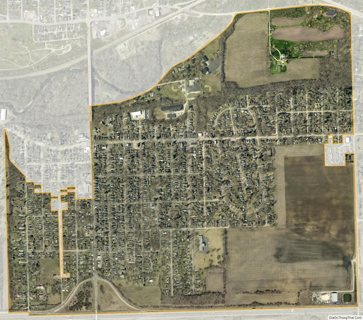
Ingalls Park city Satellite Map
Geography
Ingalls Park is located at 41°31′13″N 88°2′15″W / 41.52028°N 88.03750°W / 41.52028; -88.03750 (41.520281, -88.037405).
According to the United States Census Bureau, the CDP has a total area of 1.1 square miles (2.8 km), all land.
See also
Map of Illinois State and its subdivision:- Adams
- Alexander
- Bond
- Boone
- Brown
- Bureau
- Calhoun
- Carroll
- Cass
- Champaign
- Christian
- Clark
- Clay
- Clinton
- Coles
- Cook
- Crawford
- Cumberland
- De Kalb
- De Witt
- Douglas
- Dupage
- Edgar
- Edwards
- Effingham
- Fayette
- Ford
- Franklin
- Fulton
- Gallatin
- Greene
- Grundy
- Hamilton
- Hancock
- Hardin
- Henderson
- Henry
- Iroquois
- Jackson
- Jasper
- Jefferson
- Jersey
- Jo Daviess
- Johnson
- Kane
- Kankakee
- Kendall
- Knox
- La Salle
- Lake
- Lake Michigan
- Lawrence
- Lee
- Livingston
- Logan
- Macon
- Macoupin
- Madison
- Marion
- Marshall
- Mason
- Massac
- McDonough
- McHenry
- McLean
- Menard
- Mercer
- Monroe
- Montgomery
- Morgan
- Moultrie
- Ogle
- Peoria
- Perry
- Piatt
- Pike
- Pope
- Pulaski
- Putnam
- Randolph
- Richland
- Rock Island
- Saint Clair
- Saline
- Sangamon
- Schuyler
- Scott
- Shelby
- Stark
- Stephenson
- Tazewell
- Union
- Vermilion
- Wabash
- Warren
- Washington
- Wayne
- White
- Whiteside
- Will
- Williamson
- Winnebago
- Woodford
- Alabama
- Alaska
- Arizona
- Arkansas
- California
- Colorado
- Connecticut
- Delaware
- District of Columbia
- Florida
- Georgia
- Hawaii
- Idaho
- Illinois
- Indiana
- Iowa
- Kansas
- Kentucky
- Louisiana
- Maine
- Maryland
- Massachusetts
- Michigan
- Minnesota
- Mississippi
- Missouri
- Montana
- Nebraska
- Nevada
- New Hampshire
- New Jersey
- New Mexico
- New York
- North Carolina
- North Dakota
- Ohio
- Oklahoma
- Oregon
- Pennsylvania
- Rhode Island
- South Carolina
- South Dakota
- Tennessee
- Texas
- Utah
- Vermont
- Virginia
- Washington
- West Virginia
- Wisconsin
- Wyoming