Ivesdale is a village in Champaign County, Illinois, United States; a very small portion of the village extends into Piatt County, Illinois. The population was 265 at the 2020 census.
| Name: | Ivesdale village |
|---|---|
| LSAD Code: | 47 |
| LSAD Description: | village (suffix) |
| State: | Illinois |
| County: | Champaign County, Piatt County |
| Elevation: | 682 ft (208 m) |
| Total Area: | 0.72 sq mi (1.85 km²) |
| Land Area: | 0.72 sq mi (1.85 km²) |
| Water Area: | 0.00 sq mi (0.00 km²) |
| Total Population: | 265 |
| Population Density: | 370.11/sq mi (142.90/km²) |
| Area code: | 217 |
| FIPS code: | 1737998 |
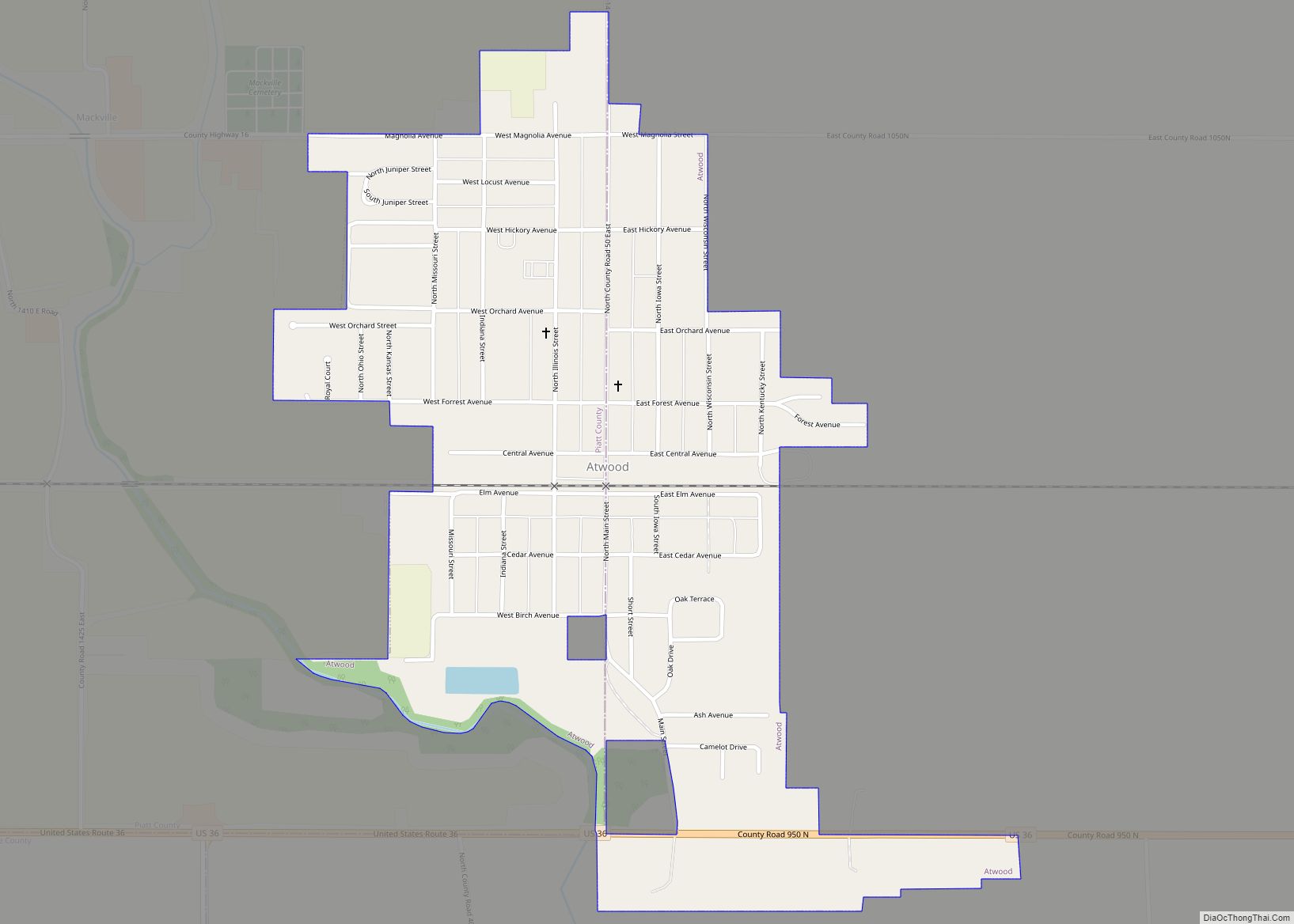
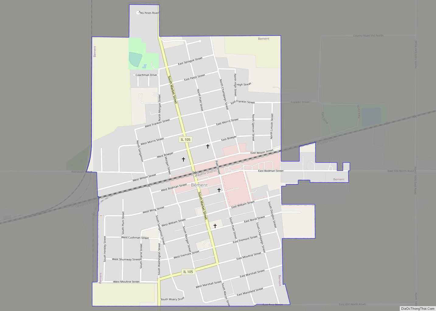
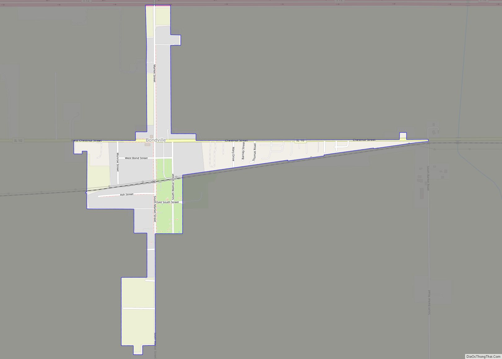
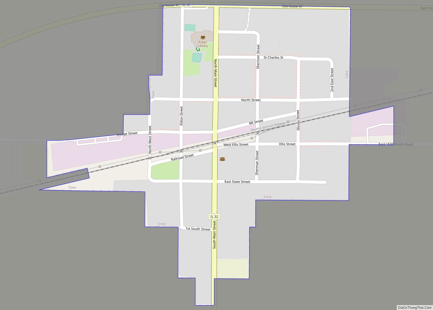
Online Interactive Map
Click on ![]() to view map in "full screen" mode.
to view map in "full screen" mode.
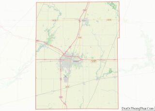
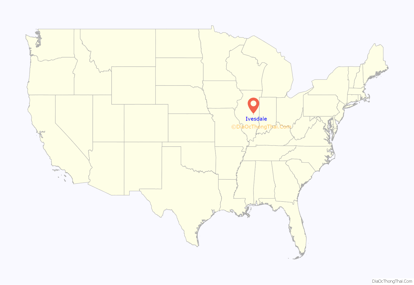
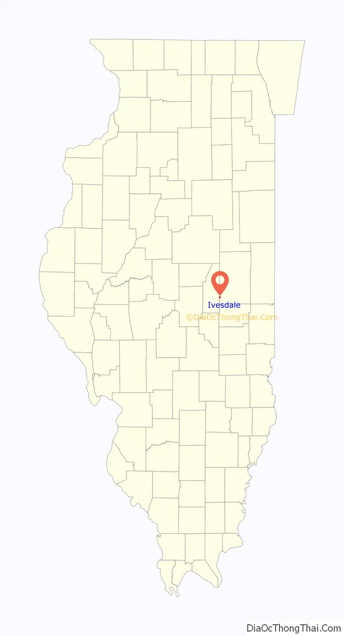
Ivesdale location map. Where is Ivesdale village?
History
Ivesdale is served by Saint Joseph Catholic Parish and is home to Saint Joseph Roman Catholic Church (built in 1894) which is known locally as “The Cathedral of the Cornfield”.
Bernard Alblinger, who served as mayor from 1963 until his death in 2011, the second longest-serving mayor in the history of Illinois, serving a total of 48 consecutive years.
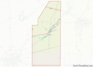
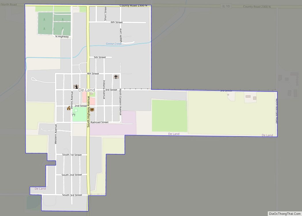
Ivesdale Road Map
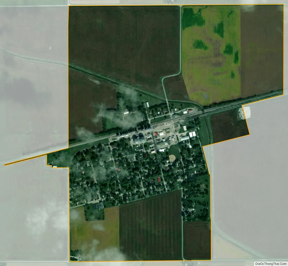
Ivesdale city Satellite Map
Geography
According to the 2021 census gazetteer files, Ivesdale has a total area of 0.72 square miles (1.86 km), all land.
See also
Map of Illinois State and its subdivision:- Adams
- Alexander
- Bond
- Boone
- Brown
- Bureau
- Calhoun
- Carroll
- Cass
- Champaign
- Christian
- Clark
- Clay
- Clinton
- Coles
- Cook
- Crawford
- Cumberland
- De Kalb
- De Witt
- Douglas
- Dupage
- Edgar
- Edwards
- Effingham
- Fayette
- Ford
- Franklin
- Fulton
- Gallatin
- Greene
- Grundy
- Hamilton
- Hancock
- Hardin
- Henderson
- Henry
- Iroquois
- Jackson
- Jasper
- Jefferson
- Jersey
- Jo Daviess
- Johnson
- Kane
- Kankakee
- Kendall
- Knox
- La Salle
- Lake
- Lake Michigan
- Lawrence
- Lee
- Livingston
- Logan
- Macon
- Macoupin
- Madison
- Marion
- Marshall
- Mason
- Massac
- McDonough
- McHenry
- McLean
- Menard
- Mercer
- Monroe
- Montgomery
- Morgan
- Moultrie
- Ogle
- Peoria
- Perry
- Piatt
- Pike
- Pope
- Pulaski
- Putnam
- Randolph
- Richland
- Rock Island
- Saint Clair
- Saline
- Sangamon
- Schuyler
- Scott
- Shelby
- Stark
- Stephenson
- Tazewell
- Union
- Vermilion
- Wabash
- Warren
- Washington
- Wayne
- White
- Whiteside
- Will
- Williamson
- Winnebago
- Woodford
- Alabama
- Alaska
- Arizona
- Arkansas
- California
- Colorado
- Connecticut
- Delaware
- District of Columbia
- Florida
- Georgia
- Hawaii
- Idaho
- Illinois
- Indiana
- Iowa
- Kansas
- Kentucky
- Louisiana
- Maine
- Maryland
- Massachusetts
- Michigan
- Minnesota
- Mississippi
- Missouri
- Montana
- Nebraska
- Nevada
- New Hampshire
- New Jersey
- New Mexico
- New York
- North Carolina
- North Dakota
- Ohio
- Oklahoma
- Oregon
- Pennsylvania
- Rhode Island
- South Carolina
- South Dakota
- Tennessee
- Texas
- Utah
- Vermont
- Virginia
- Washington
- West Virginia
- Wisconsin
- Wyoming