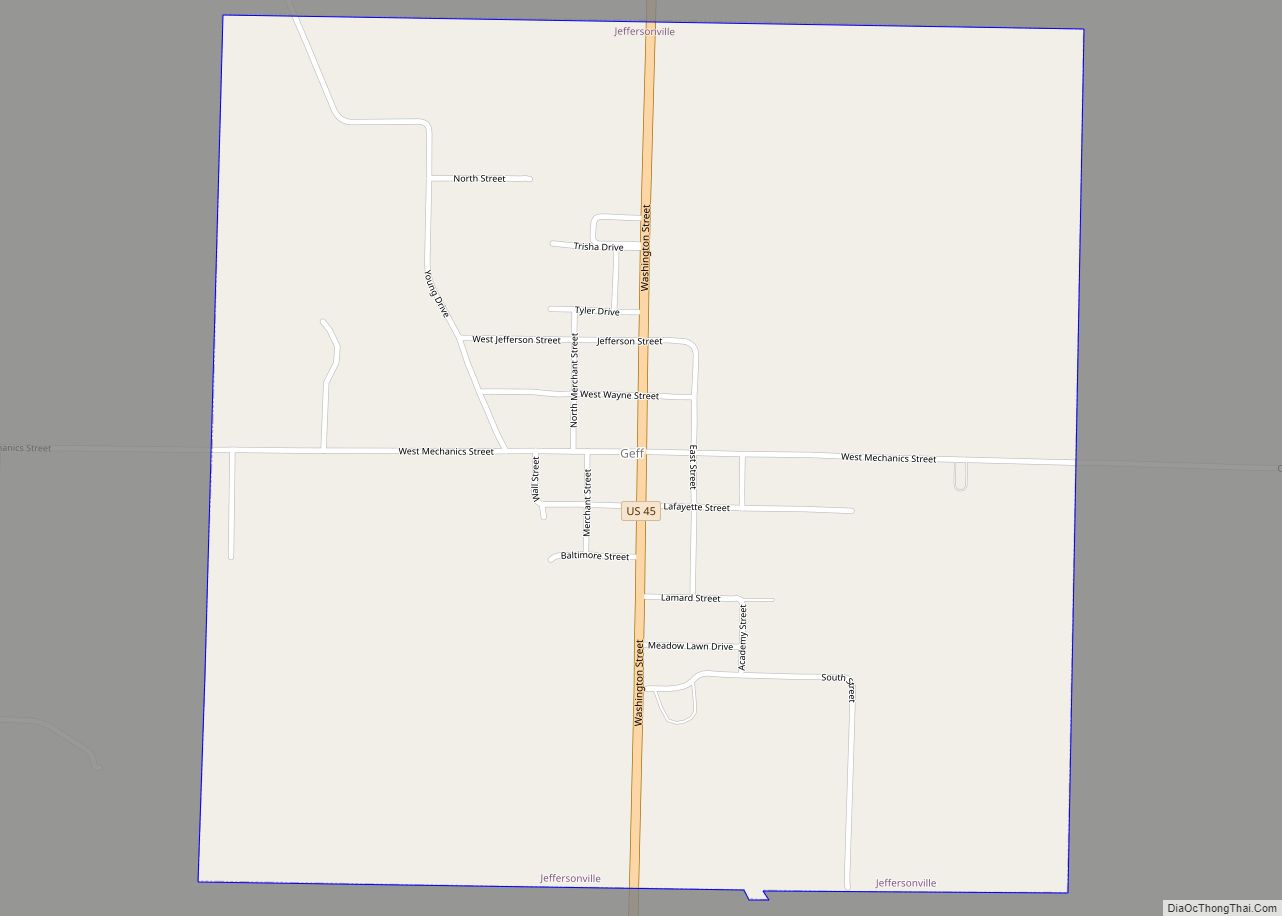
Jeffersonville is a village in Wayne County, Illinois, United States. The population was 366 at the 2000 census.
Although its official name is Jeffersonville, the village is known locally as Geff, with that spelling appearing on local road signs, the US Post office, and many official documents. “Geff” is pronounced as though it were spelled “Jeff”. The name change is said to have been made during the 19th century by the railroad, in order to distinguish the village in Illinois from Jeffersonville, Indiana.
| Name: | Jeffersonville village |
|---|---|
| LSAD Code: | 47 |
| LSAD Description: | village (suffix) |
| State: | Illinois |
| County: | Wayne County |
| Elevation: | 459 ft (140 m) |
| Total Area: | 1.01 sq mi (2.62 km²) |
| Land Area: | 1.01 sq mi (2.62 km²) |
| Water Area: | 0.00 sq mi (0.00 km²) |
| Total Population: | 355 |
| Population Density: | 350.79/sq mi (135.39/km²) |
| Area code: | 618 |
| FIPS code: | 1738323 |
| GNISfeature ID: | 2398294 |
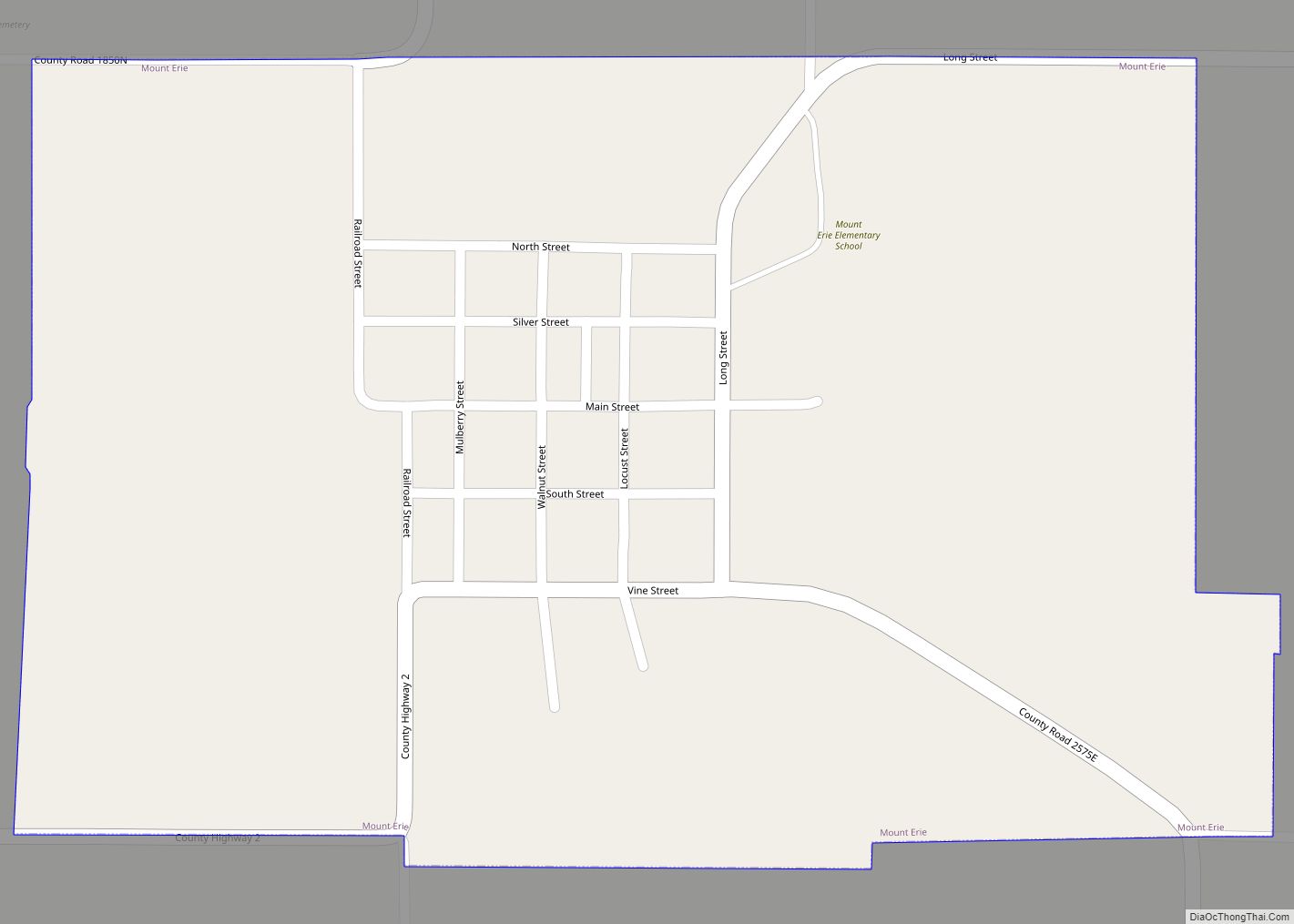
Online Interactive Map
Click on ![]() to view map in "full screen" mode.
to view map in "full screen" mode.
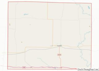
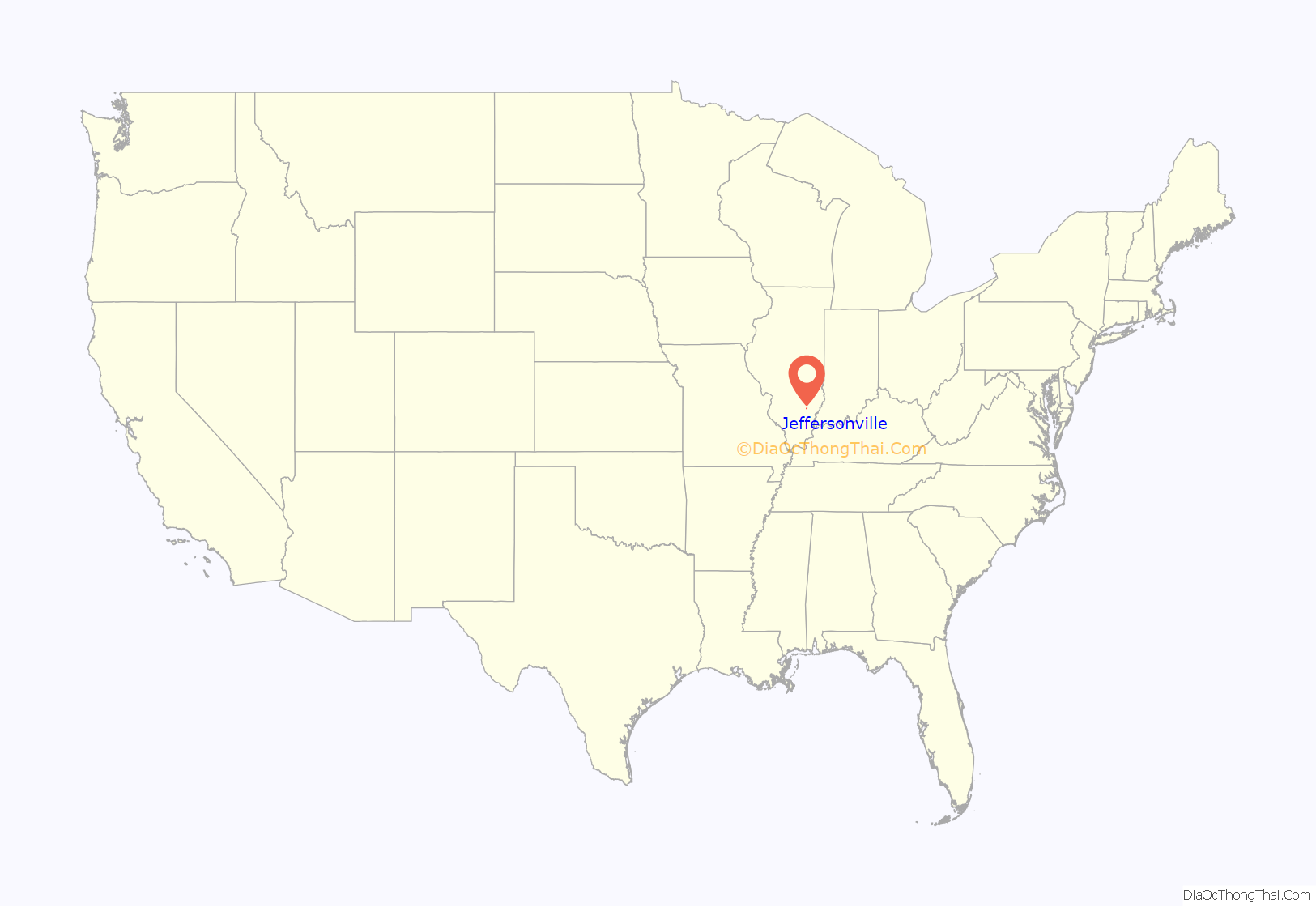
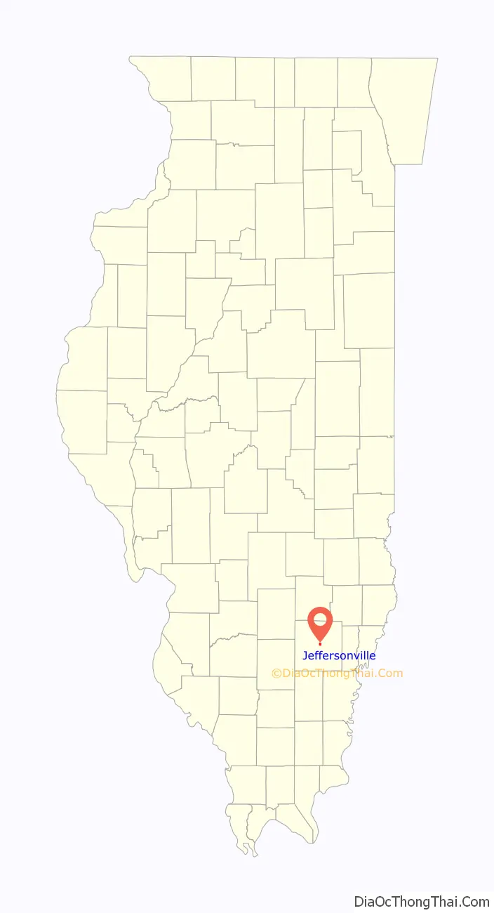
Jeffersonville location map. Where is Jeffersonville village?
History
Burton Hawk and his brother ran a sawmill near Geff and Fairfield. William Edwin Hawk was married to Alice Mathews, also of Fairfield. His sister, Mary Adeline, was married to Dr. Dade A. Hilliard. Mellie Ann Gray was the daughter of Thomas and Rebecca Gray. She married Burton Hawk on October 31, 1894. Burton and William’s parents, Eliza Jane and David Hawk ran a general store and his son Hamby ran it after David’s death in December 1916. They eventually all dispersed to Tonica, Marseilles, Lostant or Springfield Illinois.
Also, according to genealogytrails.com, David Hawk was a “Dealer in Staple and Fancy Groceries”. “One of the most important business of any town larger or small, is the grocer and Mr. Hawk fills this capacity in Jeffersonville. …in 1865 he and his wife Eliza moved to Wayne County. He began the grocery business in Jeffersonville in March 1901. He has the only exclusive grocery store in town, and makes a point to keep everything the people want in his line…. a gentleman to deal with.”
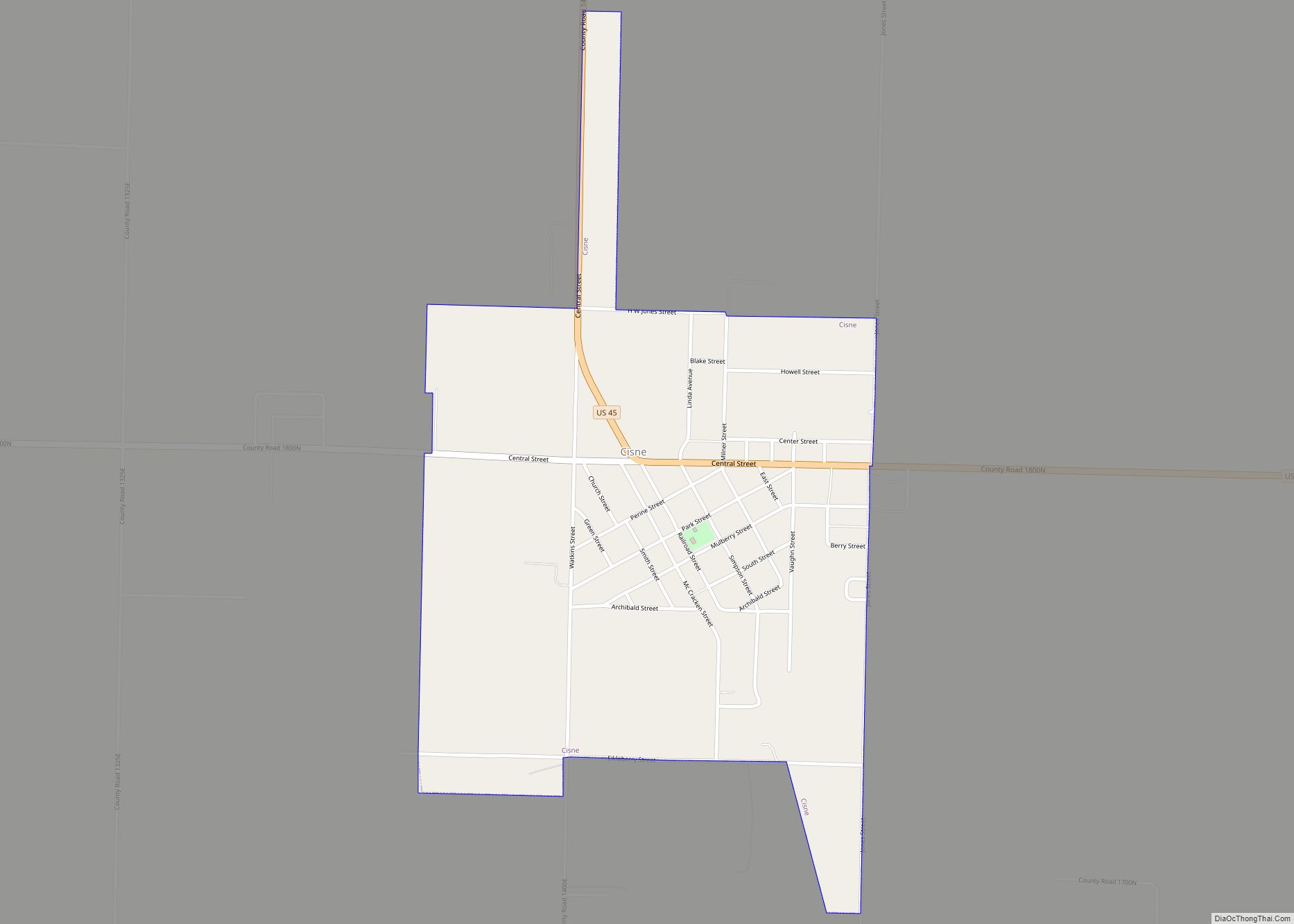
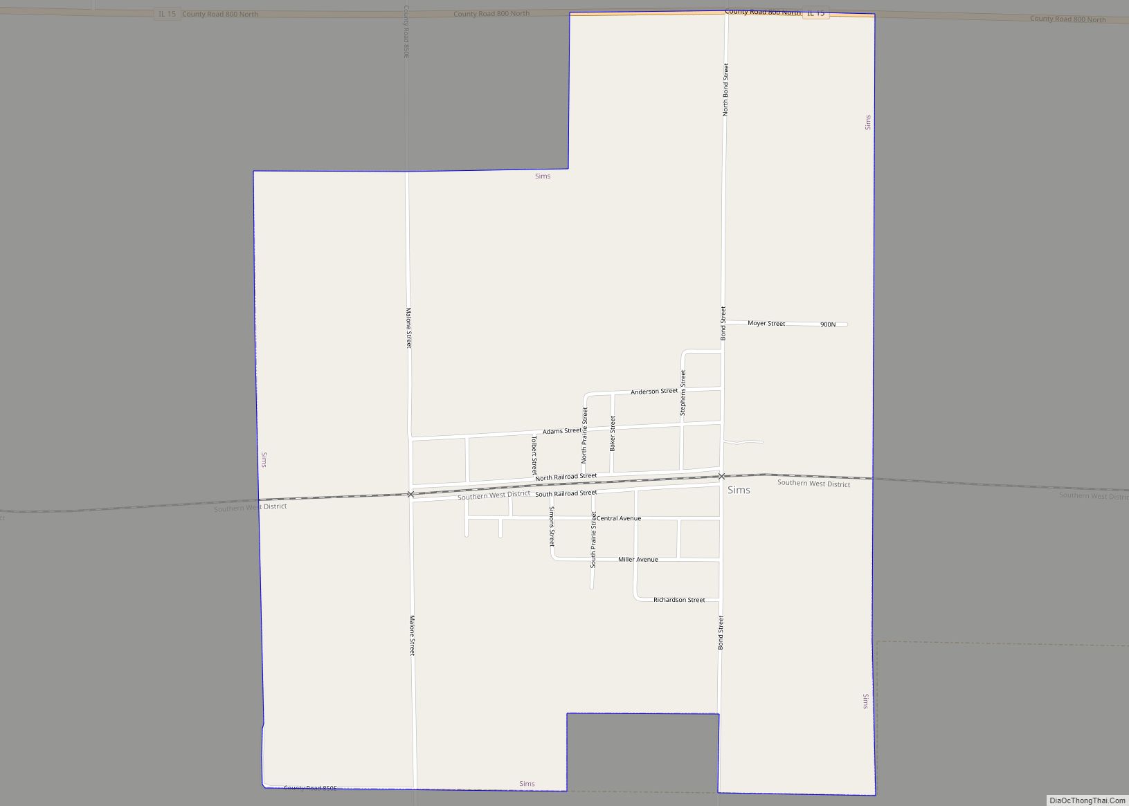
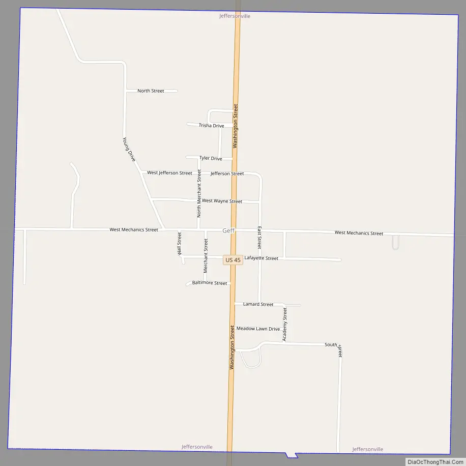
Jeffersonville Road Map
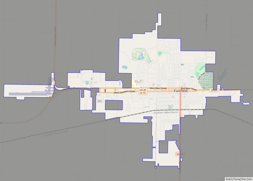
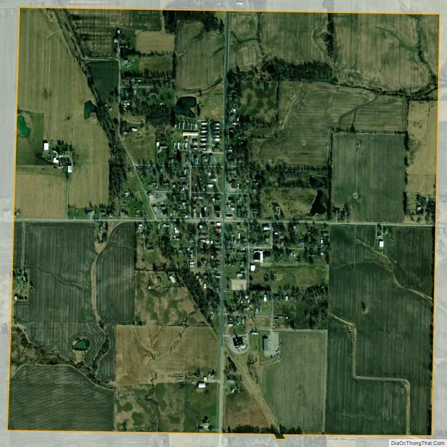
Jeffersonville city Satellite Map
Geography
According to the 2010 census, Jeffersonville has a total area of 1.02 square miles (2.64 km), all land.
See also
Map of Illinois State and its subdivision:- Adams
- Alexander
- Bond
- Boone
- Brown
- Bureau
- Calhoun
- Carroll
- Cass
- Champaign
- Christian
- Clark
- Clay
- Clinton
- Coles
- Cook
- Crawford
- Cumberland
- De Kalb
- De Witt
- Douglas
- Dupage
- Edgar
- Edwards
- Effingham
- Fayette
- Ford
- Franklin
- Fulton
- Gallatin
- Greene
- Grundy
- Hamilton
- Hancock
- Hardin
- Henderson
- Henry
- Iroquois
- Jackson
- Jasper
- Jefferson
- Jersey
- Jo Daviess
- Johnson
- Kane
- Kankakee
- Kendall
- Knox
- La Salle
- Lake
- Lake Michigan
- Lawrence
- Lee
- Livingston
- Logan
- Macon
- Macoupin
- Madison
- Marion
- Marshall
- Mason
- Massac
- McDonough
- McHenry
- McLean
- Menard
- Mercer
- Monroe
- Montgomery
- Morgan
- Moultrie
- Ogle
- Peoria
- Perry
- Piatt
- Pike
- Pope
- Pulaski
- Putnam
- Randolph
- Richland
- Rock Island
- Saint Clair
- Saline
- Sangamon
- Schuyler
- Scott
- Shelby
- Stark
- Stephenson
- Tazewell
- Union
- Vermilion
- Wabash
- Warren
- Washington
- Wayne
- White
- Whiteside
- Will
- Williamson
- Winnebago
- Woodford
- Alabama
- Alaska
- Arizona
- Arkansas
- California
- Colorado
- Connecticut
- Delaware
- District of Columbia
- Florida
- Georgia
- Hawaii
- Idaho
- Illinois
- Indiana
- Iowa
- Kansas
- Kentucky
- Louisiana
- Maine
- Maryland
- Massachusetts
- Michigan
- Minnesota
- Mississippi
- Missouri
- Montana
- Nebraska
- Nevada
- New Hampshire
- New Jersey
- New Mexico
- New York
- North Carolina
- North Dakota
- Ohio
- Oklahoma
- Oregon
- Pennsylvania
- Rhode Island
- South Carolina
- South Dakota
- Tennessee
- Texas
- Utah
- Vermont
- Virginia
- Washington
- West Virginia
- Wisconsin
- Wyoming