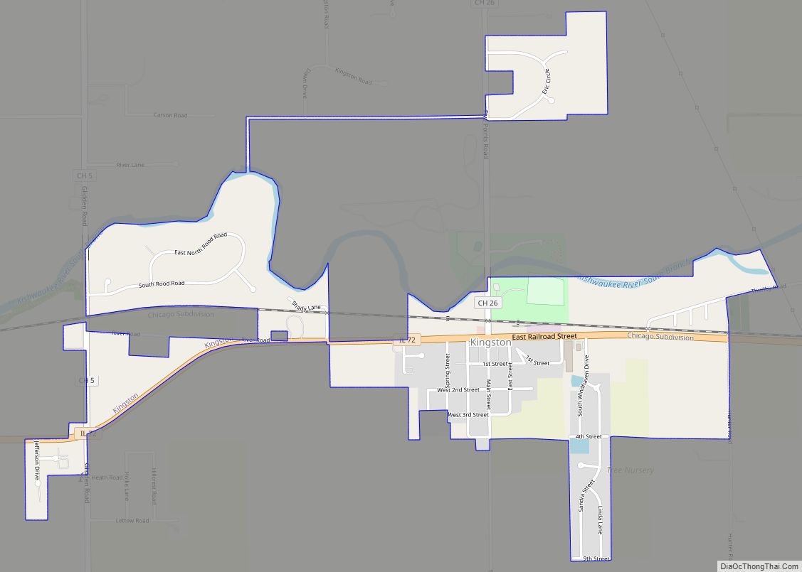
Kingston is a village in DeKalb County, Illinois, United States. The population was 1,108 at the 2020 census, down from 1,164 at the 2010 census.
| Name: | Kingston village |
|---|---|
| LSAD Code: | 47 |
| LSAD Description: | village (suffix) |
| State: | Illinois |
| County: | DeKalb County |
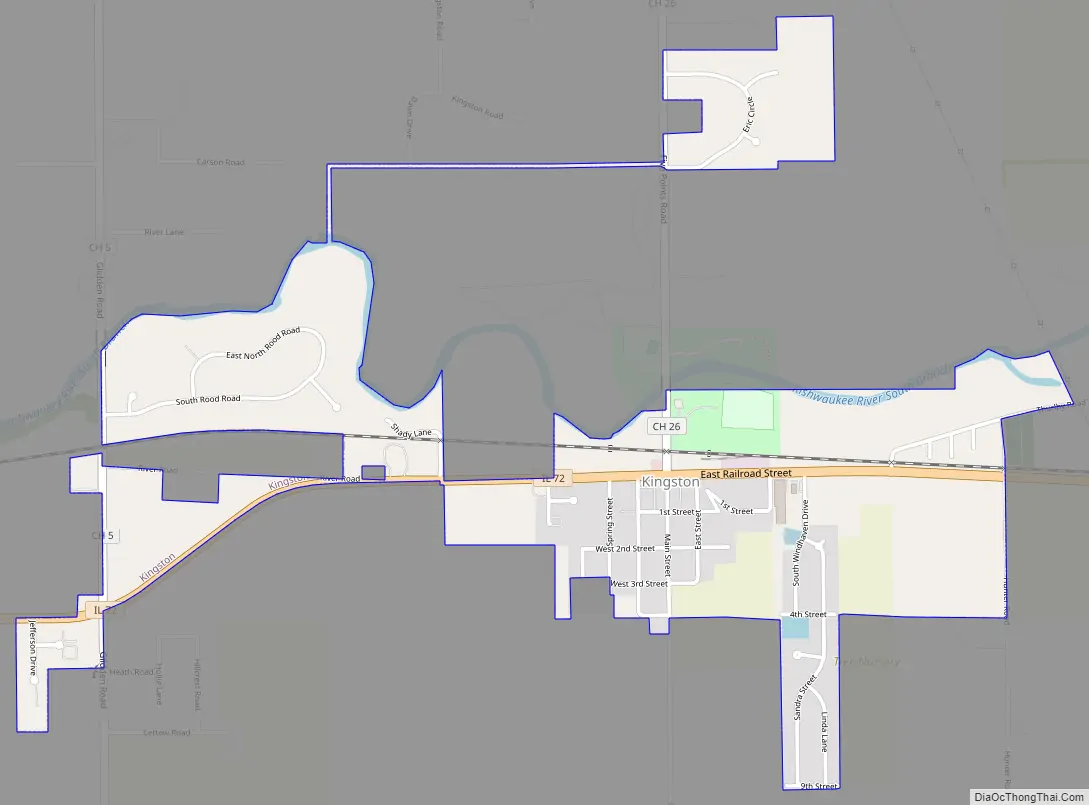
| Total Area: | 1.01 sq mi (2.61 km²) |
| Land Area: | 0.98 sq mi (2.55 km²) |
| Water Area: | 0.03 sq mi (0.07 km²) |
| Total Population: | 1,108 |
| Population Density: | 1,126.02/sq mi (434.83/km²) |
| Area code: | 815 |
| FIPS code: | 1740065 |
| Website: | www.villageofkingston.org |
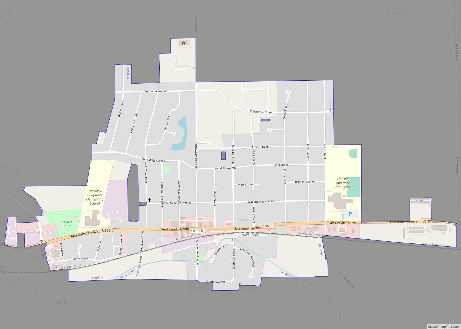
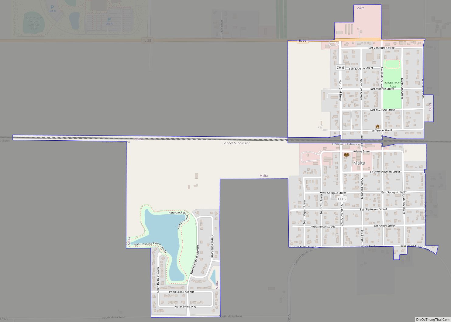
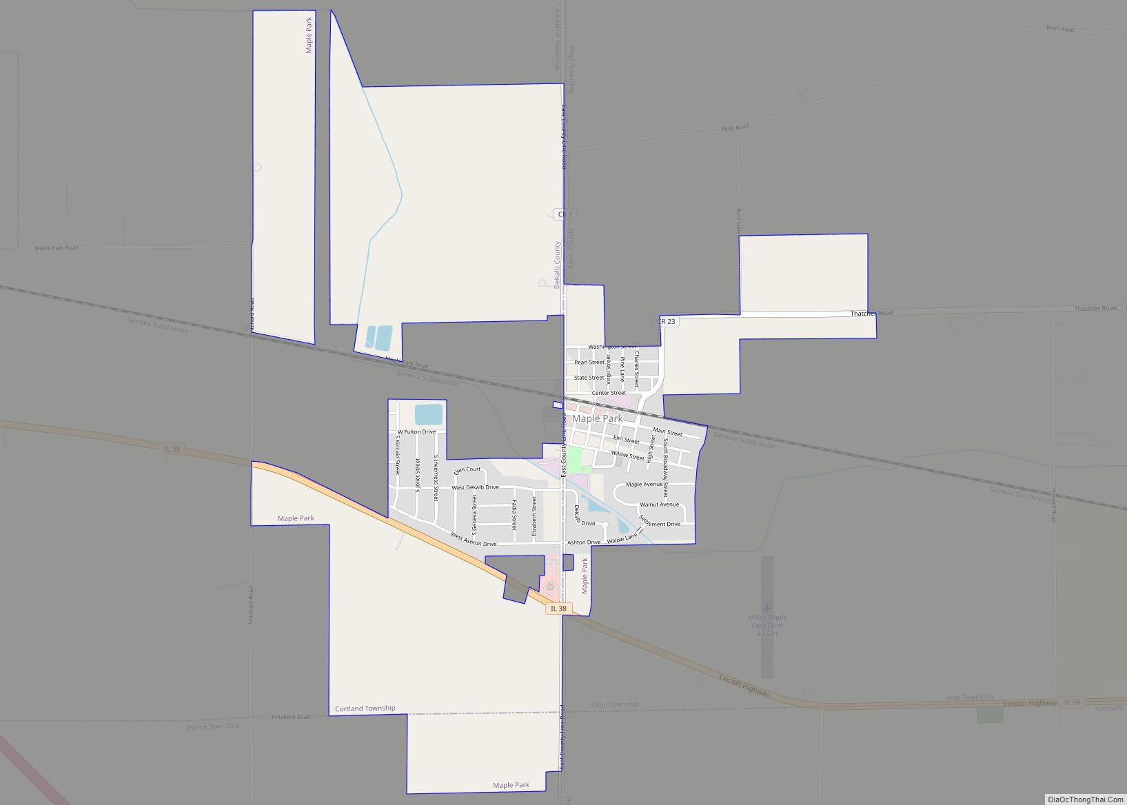
Online Interactive Map
Click on ![]() to view map in "full screen" mode.
to view map in "full screen" mode.
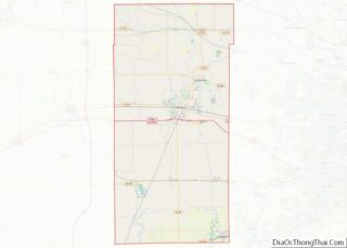
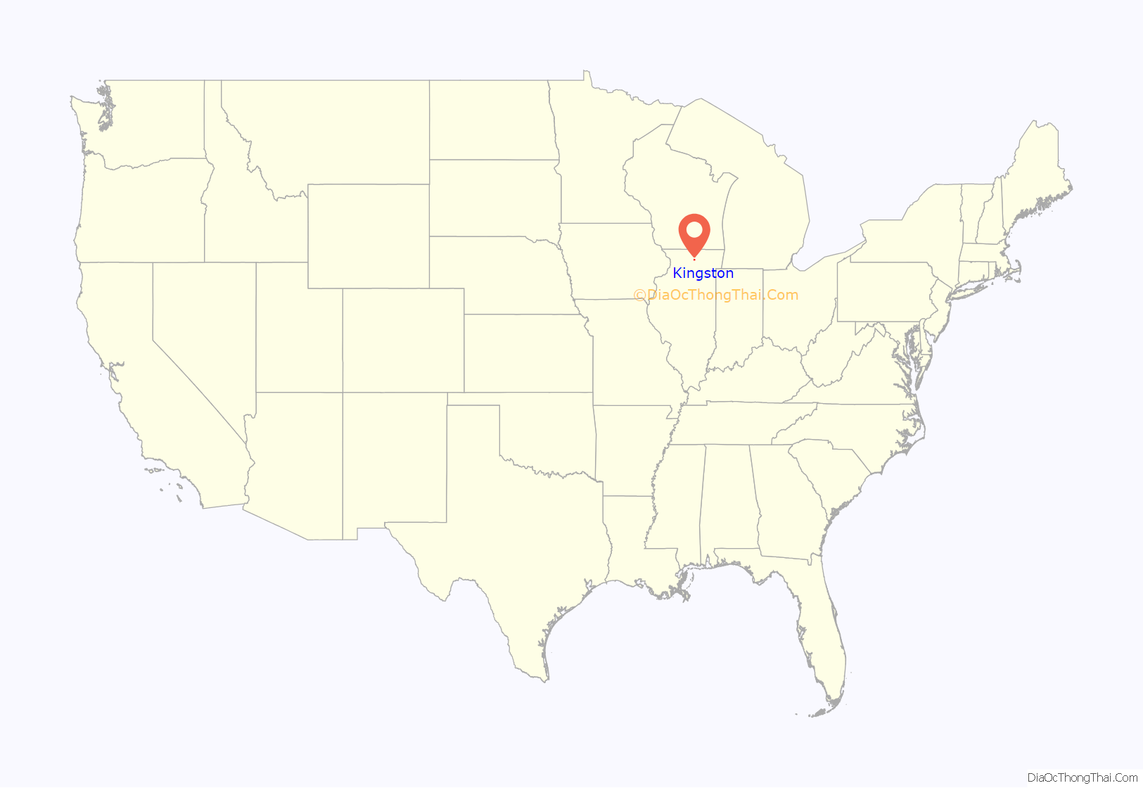
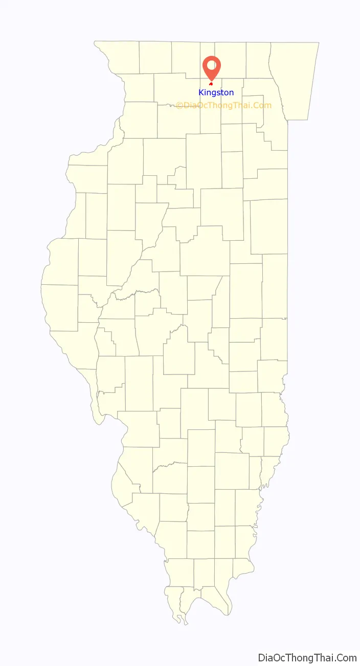
Kingston location map. Where is Kingston village?
History
Settled in 1835 by the Pottawatomie Indians, Kingston was one of the first townships in DeKalb County. The post office was established in 1837 with Levi Lee as postmaster.
The village of Kingston was founded in 1875 when the Chicago & Pacific railroad laid tracks through the township and built a depot on section 22 on a farm belonging to Lyman Stuart, an early settler of Kingston township. Lyman and his brother, James Stuart paid to have the Pleasant Hill church moved to the new site from its original location on Baseline road south of the new village. The Stuart brothers had the village platted in May 1876. The first major fire in the village occurred in January 1886 when several frame buildings were engulfed on the east side of Main street. A farmer, John Uplinger agreed to build a block of brick on the burned site if the citizens would vote to incorporate. An election was held in May 1886 with a question of incorporation on the ballot which resulted in a vote of 69 for incorporation and 17 against. A lumber yard was established by Lyman Stuart in 1876 which Mr. Uplinger purchased from the Stuart estate in 1882. Mr. Uplinger operated the lumber yard until his death in 1892 when control was assumed by his son, B. F. “Frank” Uplinger. The son built a grain elevator in 1892 and in addition to dealing in lumber and grain, he also sold coal & salt. Frank continued this line until 1921 when he sold to the newly formed Kingston Farmers Cooperative. Frank’s brother, John H. Uplinger operated a hardware store and sold farm implements and also served as postmaster. Another brother, Charles Uplinger operated the meat market. The citizens voted for a public school house in 1879 which was opened in 1881 and was destroyed by fire in 1895. The second school opened in 1895 and it too was destroyed by fire in 1954. Telephone service came to Kingston in 1898. Indoor plumbing in 1910 and the village was wired for electricity in 1913.
With Kingston being a major “hub” for two railroads business flourished throughout the area. By the 1900s Kingston had many businesses including; a hardware store, department store, grocery, meat market, paint shop, hotel, bank, bakery, shoe store, barber shop, pool room, saloon, general store, creamery, undertaking parlor, saw mill, coal and lumber yard, two blacksmith shops, two livery barns, stock yards and two confectionaries. Kingston even had its own baseball team, The Kingston Tigers. Some of the businesses mentioned above were destroyed in the fire of 1908, which engulfed a large part of town on the west side of Main Street.
W. H. Bell, an early resident of Kingston, instigated the first Kingston Picnic while he was Village President. The picnic was held every year and in 1912, when The Kingston Township Park opened, the picnic had a permanent home. The annual Kingston Picnic was held for over 100 years and celebrated its centennial in 1976.
Kingston Road Map
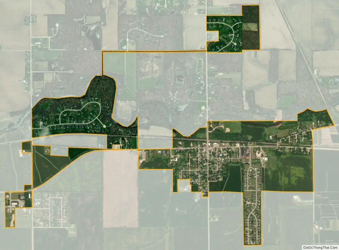
Kingston city Satellite Map
Geography
According to the 2010 census, Kingston has a total area of 1.015 square miles (2.63 km), of which 0.99 square miles (2.56 km) (or 97.54%) is land and 0.025 square miles (0.06 km) (or 2.46%) is water.
See also
Map of Illinois State and its subdivision:- Adams
- Alexander
- Bond
- Boone
- Brown
- Bureau
- Calhoun
- Carroll
- Cass
- Champaign
- Christian
- Clark
- Clay
- Clinton
- Coles
- Cook
- Crawford
- Cumberland
- De Kalb
- De Witt
- Douglas
- Dupage
- Edgar
- Edwards
- Effingham
- Fayette
- Ford
- Franklin
- Fulton
- Gallatin
- Greene
- Grundy
- Hamilton
- Hancock
- Hardin
- Henderson
- Henry
- Iroquois
- Jackson
- Jasper
- Jefferson
- Jersey
- Jo Daviess
- Johnson
- Kane
- Kankakee
- Kendall
- Knox
- La Salle
- Lake
- Lake Michigan
- Lawrence
- Lee
- Livingston
- Logan
- Macon
- Macoupin
- Madison
- Marion
- Marshall
- Mason
- Massac
- McDonough
- McHenry
- McLean
- Menard
- Mercer
- Monroe
- Montgomery
- Morgan
- Moultrie
- Ogle
- Peoria
- Perry
- Piatt
- Pike
- Pope
- Pulaski
- Putnam
- Randolph
- Richland
- Rock Island
- Saint Clair
- Saline
- Sangamon
- Schuyler
- Scott
- Shelby
- Stark
- Stephenson
- Tazewell
- Union
- Vermilion
- Wabash
- Warren
- Washington
- Wayne
- White
- Whiteside
- Will
- Williamson
- Winnebago
- Woodford
- Alabama
- Alaska
- Arizona
- Arkansas
- California
- Colorado
- Connecticut
- Delaware
- District of Columbia
- Florida
- Georgia
- Hawaii
- Idaho
- Illinois
- Indiana
- Iowa
- Kansas
- Kentucky
- Louisiana
- Maine
- Maryland
- Massachusetts
- Michigan
- Minnesota
- Mississippi
- Missouri
- Montana
- Nebraska
- Nevada
- New Hampshire
- New Jersey
- New Mexico
- New York
- North Carolina
- North Dakota
- Ohio
- Oklahoma
- Oregon
- Pennsylvania
- Rhode Island
- South Carolina
- South Dakota
- Tennessee
- Texas
- Utah
- Vermont
- Virginia
- Washington
- West Virginia
- Wisconsin
- Wyoming