Ladd is a village in Bureau County, Illinois, United States. The population was 1,236 at the 2020 census. It is part of the Ottawa Micropolitan Statistical Area. Ladd is most known for Rip’s Tavern (which serves about 1,200 orders of fried chicken on a busy night), and for a Vietnam War tank located in the center of its park.
| Name: | Ladd village |
|---|---|
| LSAD Code: | 47 |
| LSAD Description: | village (suffix) |
| State: | Illinois |
| County: | Bureau County |
| Total Area: | 1.21 sq mi (3.13 km²) |
| Land Area: | 1.21 sq mi (3.13 km²) |
| Water Area: | 0.00 sq mi (0.00 km²) 0% |
| Total Population: | 1,263 |
| Population Density: | 1,000/sq mi (400/km²) |
| Area code: | 815 |
| FIPS code: | 1740598 |
| Website: | www.villageofladd.com |
Online Interactive Map
Click on ![]() to view map in "full screen" mode.
to view map in "full screen" mode.
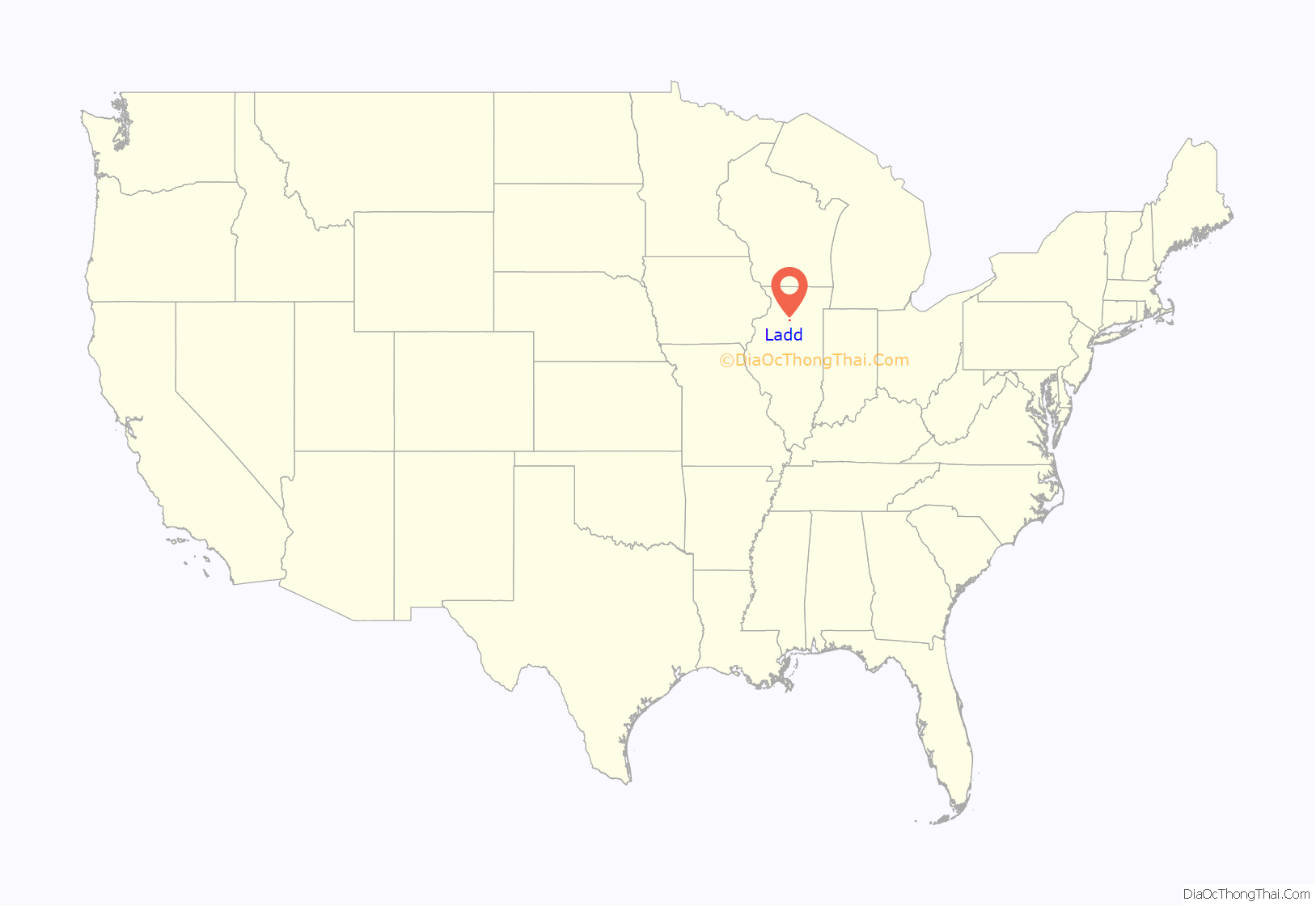
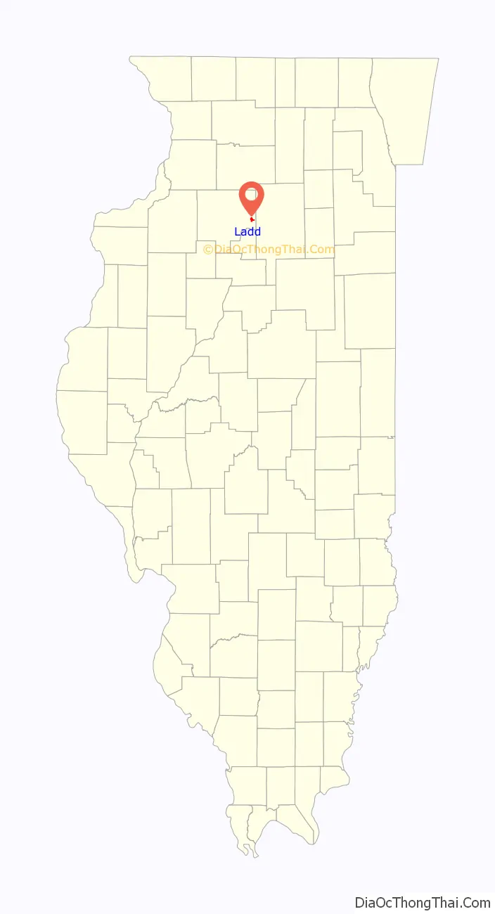
Ladd location map. Where is Ladd village?
History
The settlement was originally named Osgood after the manager of the Whitebreast Fuel Company. The Whitebreast Fuel Company, based in Ottumwa, Iowa was the major coal supplier for the Chicago, Burlington, and Quincy Railroad. They set up the town in 1888. Ladd was incorporated on June 7, 1890, and was founded by George D. Ladd, a resident of Peru, Illinois. Ladd was originally named Laddville. The Ladd mine went bankrupt in 1901 and was purchased by the Illinois Third Vein Coal Company, owned by Samuel Dalzell of Spring Valley. At its height, the mine employed over 700 men and took an average of 1200 tons of coal a day from the ground. As a coal mining town, it is ethnically diverse with immigrants from Italy, Ireland, and Poland taking jobs at the mine. The mine closed in 1924.
In 2015 the village celebrated its 125th anniversary. The local grade school was replaced in the summer of 2003; prior to that the grade school occupied the building that originally housed Hall High School until the new school was constructed in 1911 in Spring Valley, at which time the old high school became the new Ladd C.C. School which had previously been a little three-room building behind the high school.
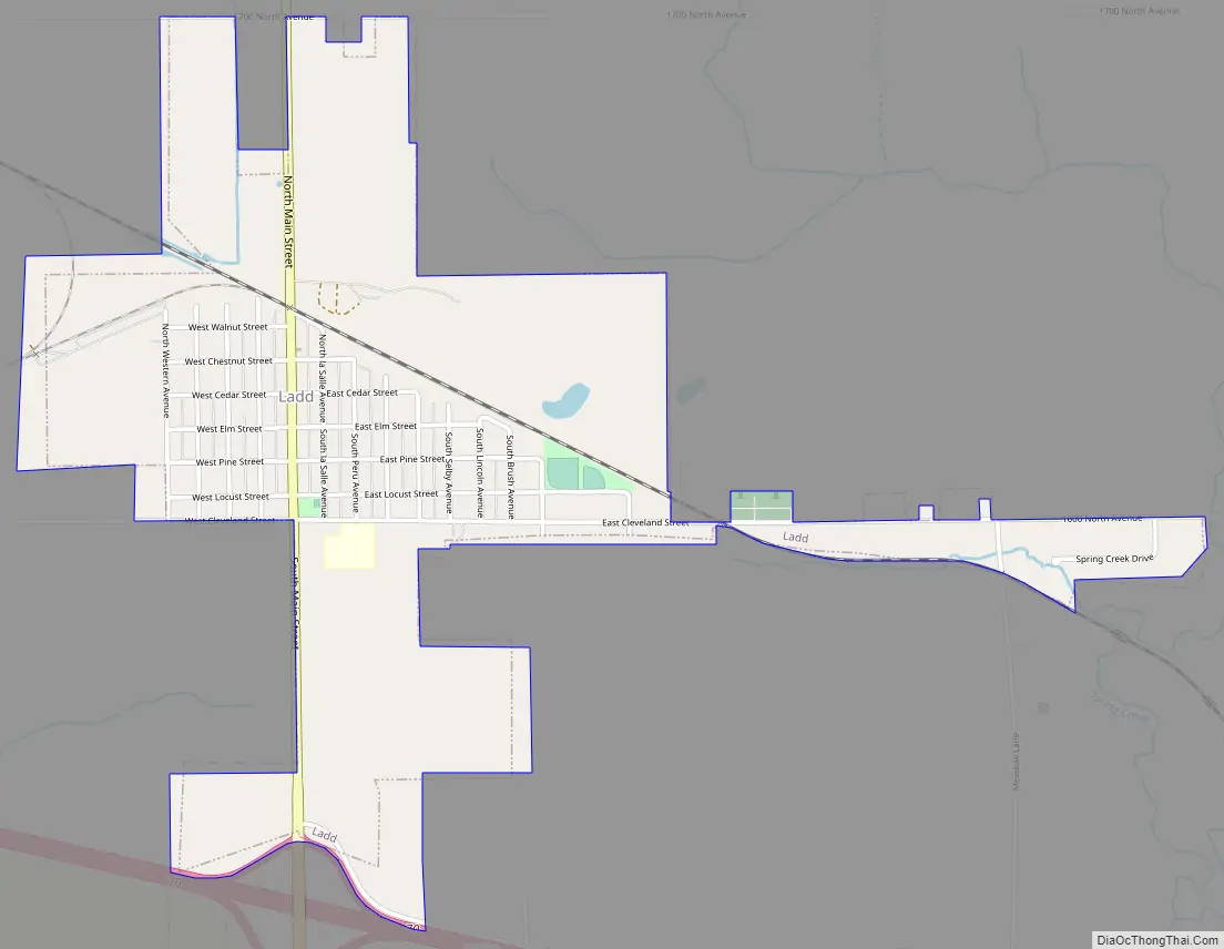
Ladd Road Map
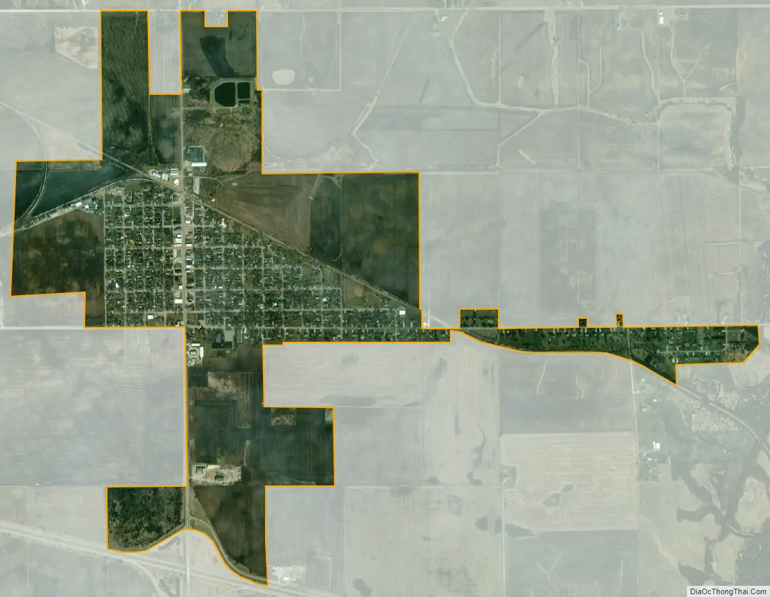
Ladd city Satellite Map
Geography
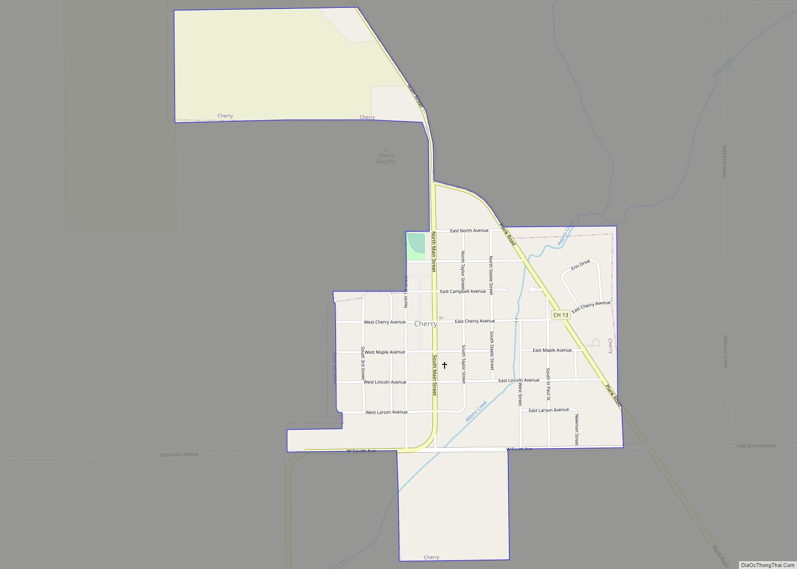
Ladd is located at 41°22′53″N 89°12′58″W / 41.38139°N 89.21611°W / 41.38139; -89.21611 (41.381264, -89.216056), one mile north of Interstate 80 on Illinois Route 89. It is located between the village of Cherry to the north and the city of Spring Valley to the south.
According to the 2021 census gazetteer files, Ladd has a total area of 1.21 square miles (3.13 km), all land.
See also
Map of Illinois State and its subdivision:- Adams
- Alexander
- Bond
- Boone
- Brown
- Bureau
- Calhoun
- Carroll
- Cass
- Champaign
- Christian
- Clark
- Clay
- Clinton
- Coles
- Cook
- Crawford
- Cumberland
- De Kalb
- De Witt
- Douglas
- Dupage
- Edgar
- Edwards
- Effingham
- Fayette
- Ford
- Franklin
- Fulton
- Gallatin
- Greene
- Grundy
- Hamilton
- Hancock
- Hardin
- Henderson
- Henry
- Iroquois
- Jackson
- Jasper
- Jefferson
- Jersey
- Jo Daviess
- Johnson
- Kane
- Kankakee
- Kendall
- Knox
- La Salle
- Lake
- Lake Michigan
- Lawrence
- Lee
- Livingston
- Logan
- Macon
- Macoupin
- Madison
- Marion
- Marshall
- Mason
- Massac
- McDonough
- McHenry
- McLean
- Menard
- Mercer
- Monroe
- Montgomery
- Morgan
- Moultrie
- Ogle
- Peoria
- Perry
- Piatt
- Pike
- Pope
- Pulaski
- Putnam
- Randolph
- Richland
- Rock Island
- Saint Clair
- Saline
- Sangamon
- Schuyler
- Scott
- Shelby
- Stark
- Stephenson
- Tazewell
- Union
- Vermilion
- Wabash
- Warren
- Washington
- Wayne
- White
- Whiteside
- Will
- Williamson
- Winnebago
- Woodford
- Alabama
- Alaska
- Arizona
- Arkansas
- California
- Colorado
- Connecticut
- Delaware
- District of Columbia
- Florida
- Georgia
- Hawaii
- Idaho
- Illinois
- Indiana
- Iowa
- Kansas
- Kentucky
- Louisiana
- Maine
- Maryland
- Massachusetts
- Michigan
- Minnesota
- Mississippi
- Missouri
- Montana
- Nebraska
- Nevada
- New Hampshire
- New Jersey
- New Mexico
- New York
- North Carolina
- North Dakota
- Ohio
- Oklahoma
- Oregon
- Pennsylvania
- Rhode Island
- South Carolina
- South Dakota
- Tennessee
- Texas
- Utah
- Vermont
- Virginia
- Washington
- West Virginia
- Wisconsin
- Wyoming