Lostant is a village in LaSalle County, Illinois, United States. The population was 423 at the 2020 census, down from 498 at the 2010 census. It is part of the Ottawa Micropolitan Statistical Area.
| Name: | Lostant village |
|---|---|
| LSAD Code: | 47 |
| LSAD Description: | village (suffix) |
| State: | Illinois |
| County: | LaSalle County |
| Elevation: | 692 ft (211 m) |
| Total Area: | 1.13 sq mi (2.93 km²) |
| Land Area: | 1.13 sq mi (2.93 km²) |
| Water Area: | 0.00 sq mi (0.00 km²) |
| Total Population: | 423 |
| Population Density: | 374.34/sq mi (144.60/km²) |
| ZIP code: | 61334 |
| Area code: | 815 |
| FIPS code: | 1744823 |
| GNISfeature ID: | 2399189 |
| Website: | www.villageoflostant.com |
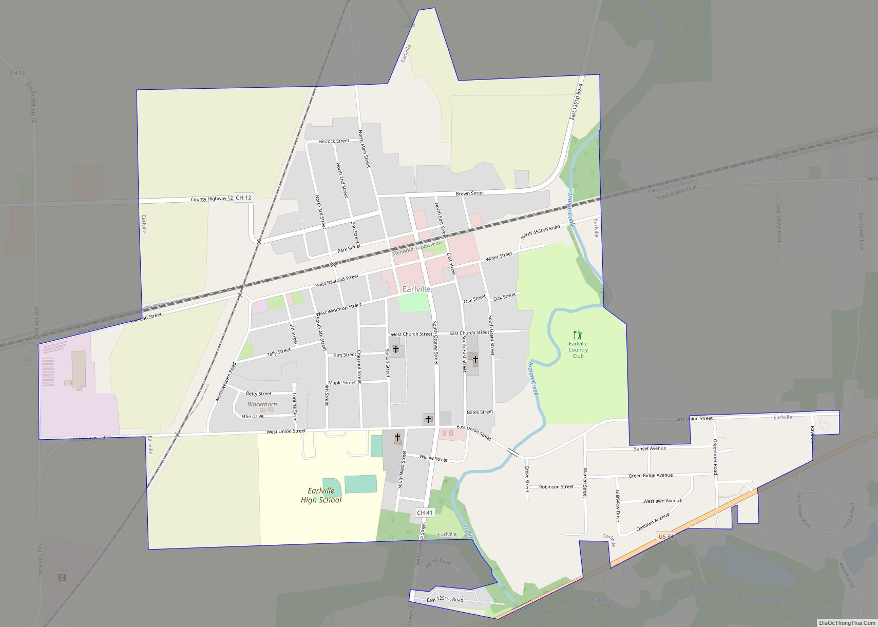
Online Interactive Map
Click on ![]() to view map in "full screen" mode.
to view map in "full screen" mode.
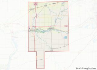
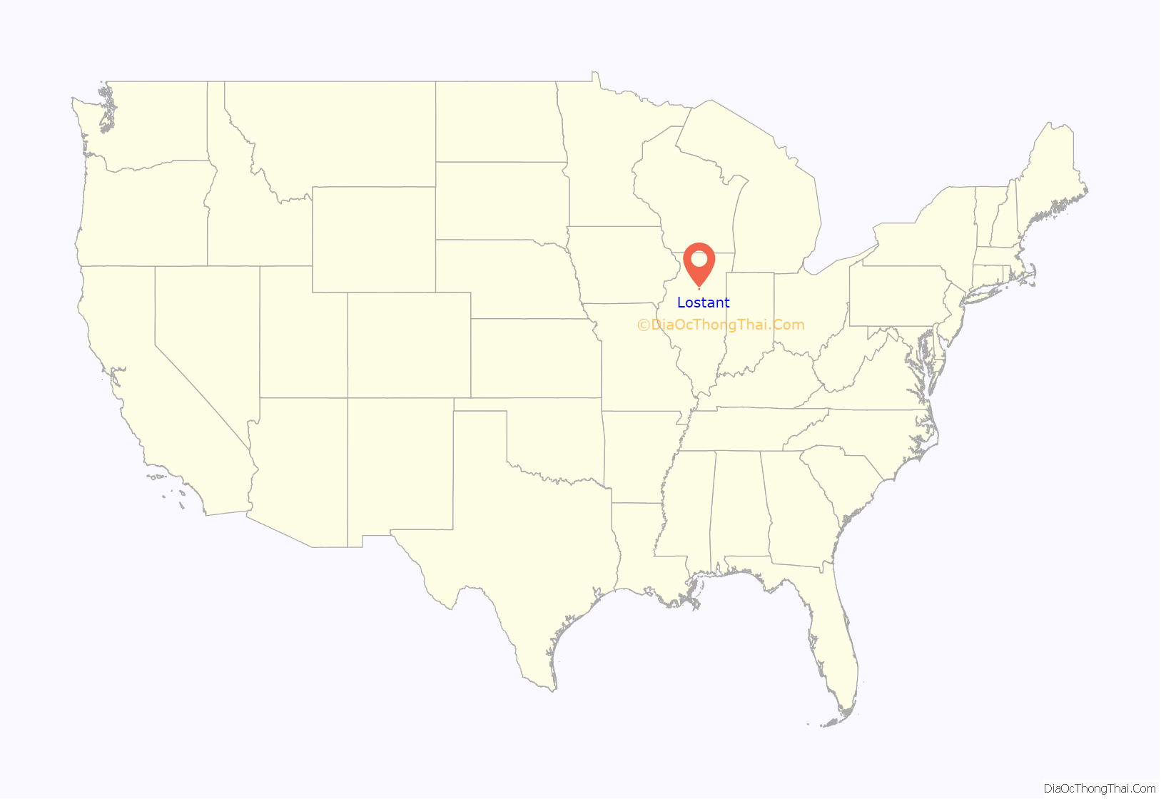
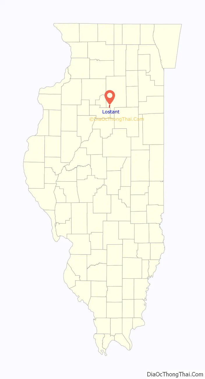
Lostant location map. Where is Lostant village?
History
A post office has been in operation at Lostant since 1861. The village was named for Lostant Mercier, the wife of French diplomat Henri Mercier. Horatio N. Boshell (1872–1933), Illinois state representative and physician, was born in Lostant.
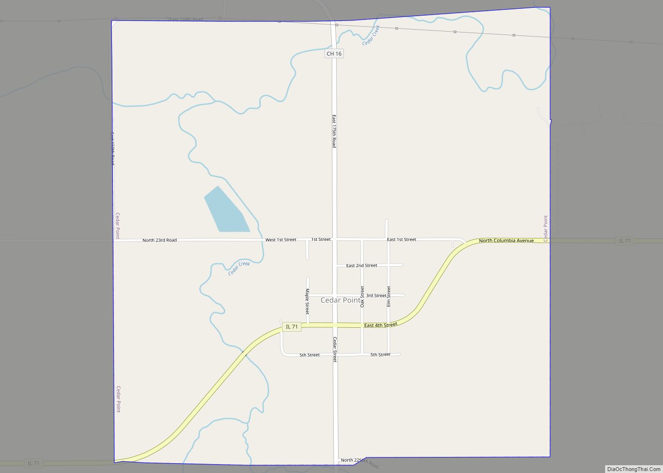
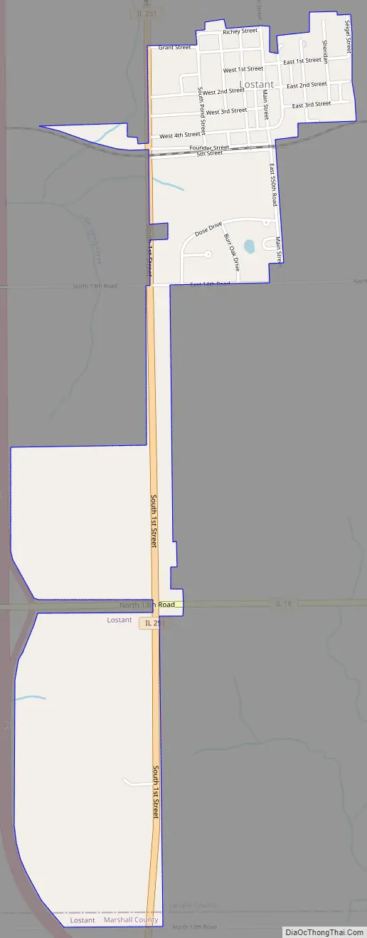
Lostant Road Map
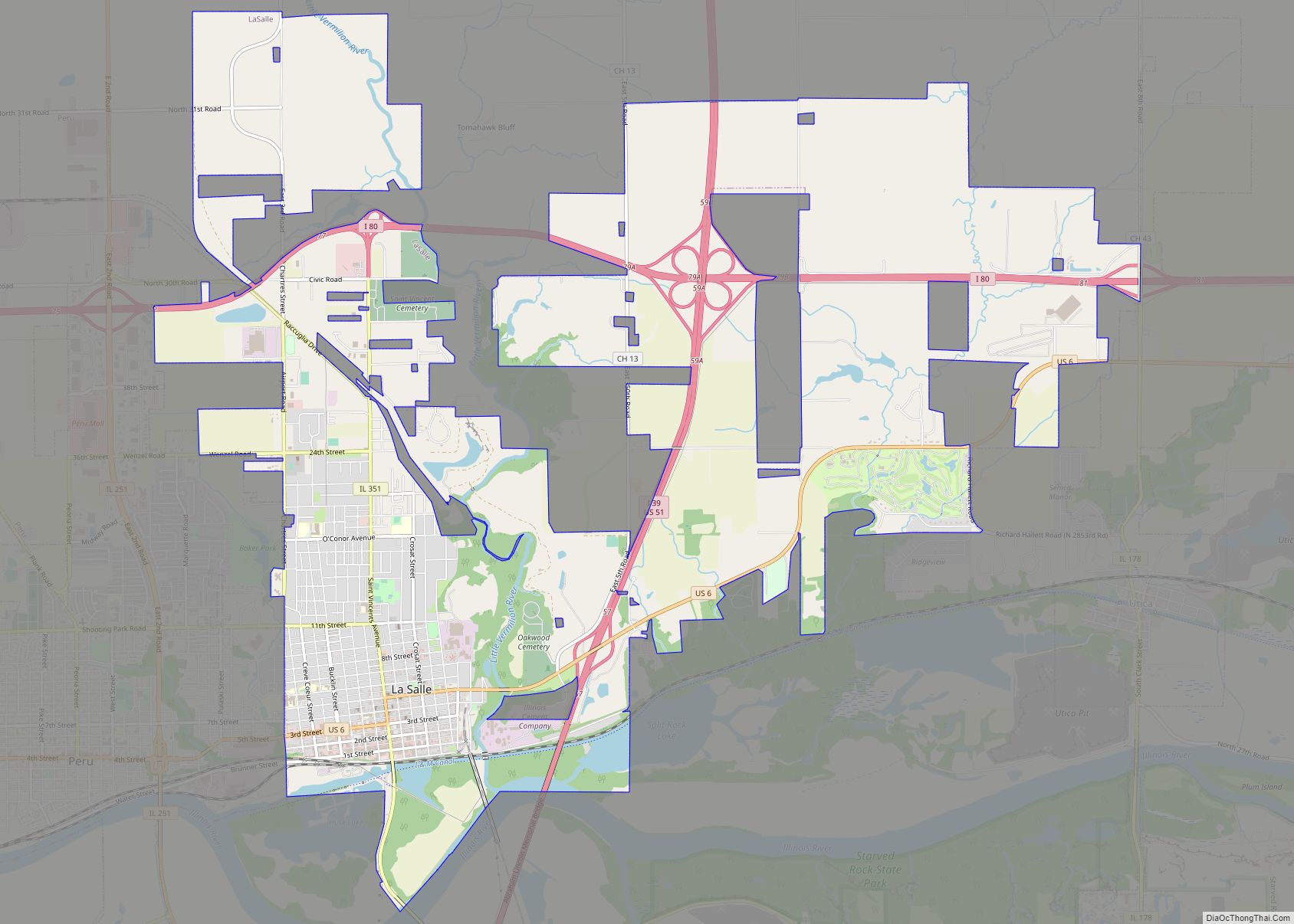
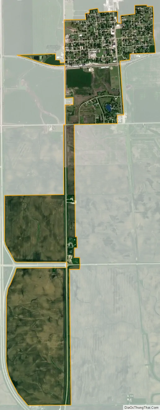
Lostant city Satellite Map
Geography
Lostant is located in southwestern LaSalle County at 41°8′32″N 89°3′41″W / 41.14222°N 89.06139°W / 41.14222; -89.06139 (41.142127, -89.061384). The village limits extend south to the Marshall County line.
Illinois Route 251 runs through the western side of the village, leading north 5 miles (8 km) to Tonica and south 7 miles (11 km) to Wenona. Illinois Route 18 passes through the southern extension of Lostant; it leads east 12 miles (19 km) to Streator and west 16 miles (26 km) to Henry. Interstate 39 runs along the southwestern edge of the village, with access from Exit 41 (IL 18). I-39 leads north 15 miles (24 km) to LaSalle and south 44 miles (71 km) to Normal.
According to the 2021 census gazetteer files, Lostant has a total area of 1.13 square miles (2.93 km), all land.
See also
Map of Illinois State and its subdivision:- Adams
- Alexander
- Bond
- Boone
- Brown
- Bureau
- Calhoun
- Carroll
- Cass
- Champaign
- Christian
- Clark
- Clay
- Clinton
- Coles
- Cook
- Crawford
- Cumberland
- De Kalb
- De Witt
- Douglas
- Dupage
- Edgar
- Edwards
- Effingham
- Fayette
- Ford
- Franklin
- Fulton
- Gallatin
- Greene
- Grundy
- Hamilton
- Hancock
- Hardin
- Henderson
- Henry
- Iroquois
- Jackson
- Jasper
- Jefferson
- Jersey
- Jo Daviess
- Johnson
- Kane
- Kankakee
- Kendall
- Knox
- La Salle
- Lake
- Lake Michigan
- Lawrence
- Lee
- Livingston
- Logan
- Macon
- Macoupin
- Madison
- Marion
- Marshall
- Mason
- Massac
- McDonough
- McHenry
- McLean
- Menard
- Mercer
- Monroe
- Montgomery
- Morgan
- Moultrie
- Ogle
- Peoria
- Perry
- Piatt
- Pike
- Pope
- Pulaski
- Putnam
- Randolph
- Richland
- Rock Island
- Saint Clair
- Saline
- Sangamon
- Schuyler
- Scott
- Shelby
- Stark
- Stephenson
- Tazewell
- Union
- Vermilion
- Wabash
- Warren
- Washington
- Wayne
- White
- Whiteside
- Will
- Williamson
- Winnebago
- Woodford
- Alabama
- Alaska
- Arizona
- Arkansas
- California
- Colorado
- Connecticut
- Delaware
- District of Columbia
- Florida
- Georgia
- Hawaii
- Idaho
- Illinois
- Indiana
- Iowa
- Kansas
- Kentucky
- Louisiana
- Maine
- Maryland
- Massachusetts
- Michigan
- Minnesota
- Mississippi
- Missouri
- Montana
- Nebraska
- Nevada
- New Hampshire
- New Jersey
- New Mexico
- New York
- North Carolina
- North Dakota
- Ohio
- Oklahoma
- Oregon
- Pennsylvania
- Rhode Island
- South Carolina
- South Dakota
- Tennessee
- Texas
- Utah
- Vermont
- Virginia
- Washington
- West Virginia
- Wisconsin
- Wyoming