Mackinaw is a village in Tazewell County, Illinois, United States, and is part of the Peoria, Illinois Metropolitan Statistical Area. Its population was 1,950 at the 2010 census. Local businesses include Area 52 Paintball, and Mackinaw Valley Vineyard. The Mack-Ca-Fest Farm Days Festival is held each June in the village.
| Name: | Mackinaw village |
|---|---|
| LSAD Code: | 47 |
| LSAD Description: | village (suffix) |
| State: | Illinois |
| County: | Tazewell County |
| Elevation: | 656 ft (200 m) |
| Total Area: | 1.22 sq mi (3.16 km²) |
| Land Area: | 1.19 sq mi (3.08 km²) |
| Water Area: | 0.03 sq mi (0.08 km²) |
| Total Population: | 1,879 |
| Population Density: | 1,580.32/sq mi (610.15/km²) |
| Area code: | 309 |
| FIPS code: | 1745785 |
| GNISfeature ID: | 2399217 |
| Website: | mackinawil.gov |
Online Interactive Map
Click on ![]() to view map in "full screen" mode.
to view map in "full screen" mode.
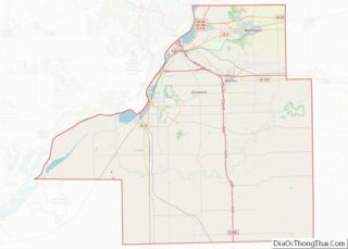
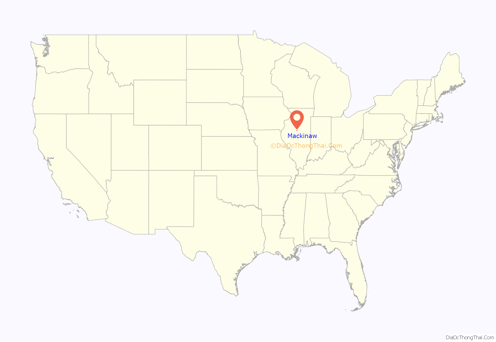
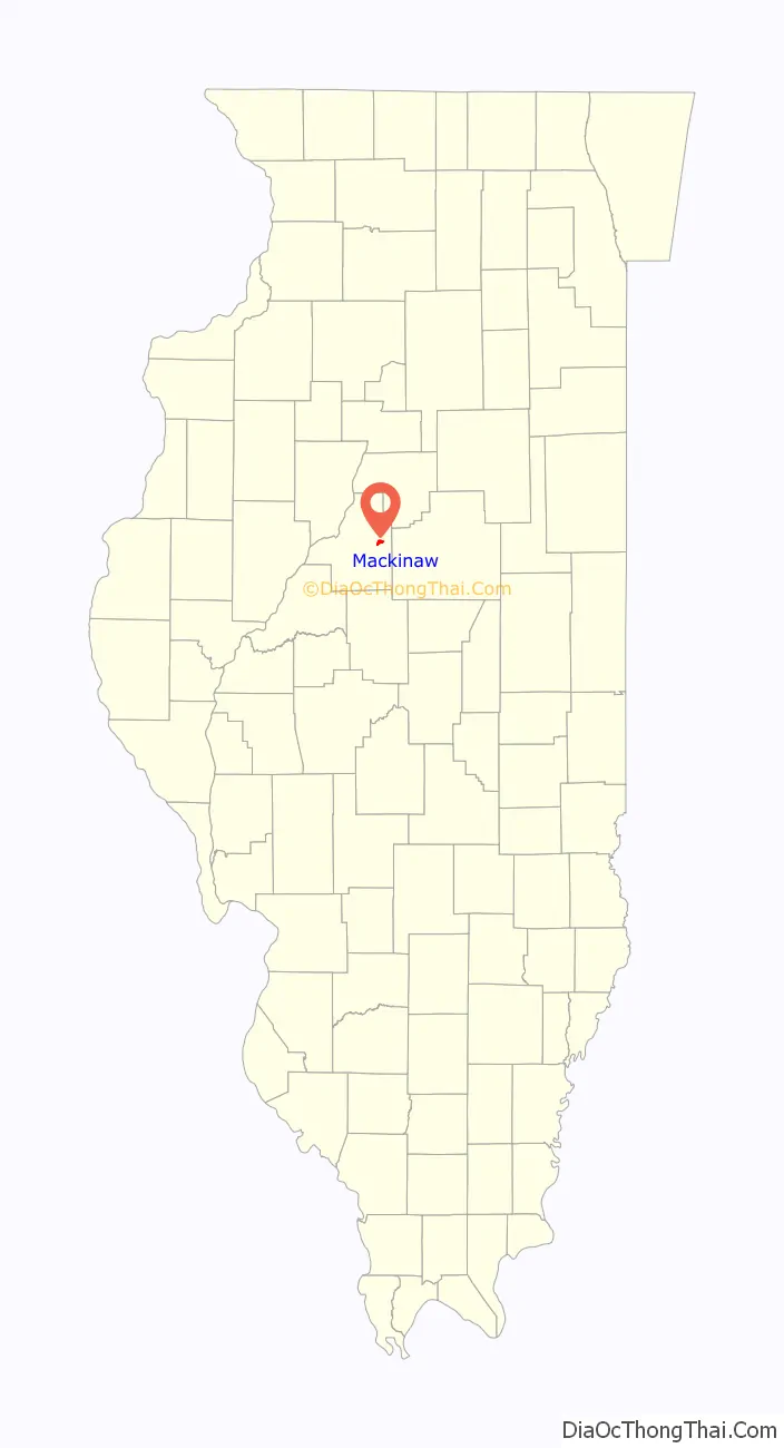
Mackinaw location map. Where is Mackinaw village?
History
The village lies within, but is politically independent of Mackinaw Township. Both take their name from the nearby Mackinaw River. Mackinaw (sometimes spelled Mackinac) is derived from the Ojibwe word mikinaak meaning “turtle”.
Following the 1933 end to prohibition, Mackinaw remained a “dry” community through 2013, when residents voted to allow the sale of alcohol.
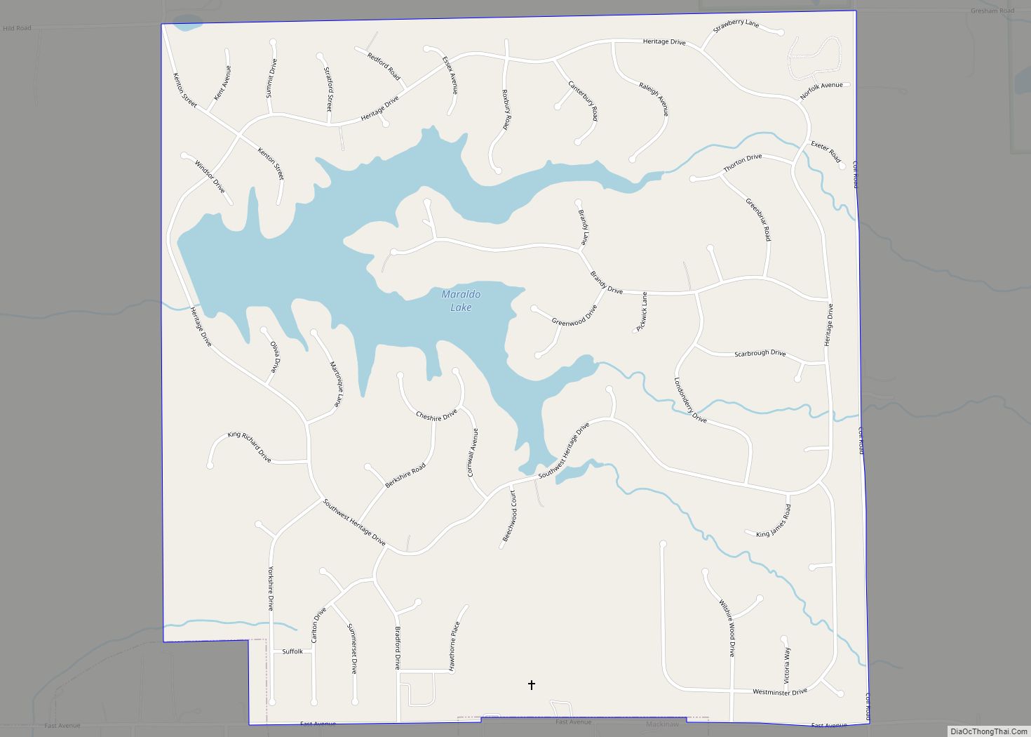
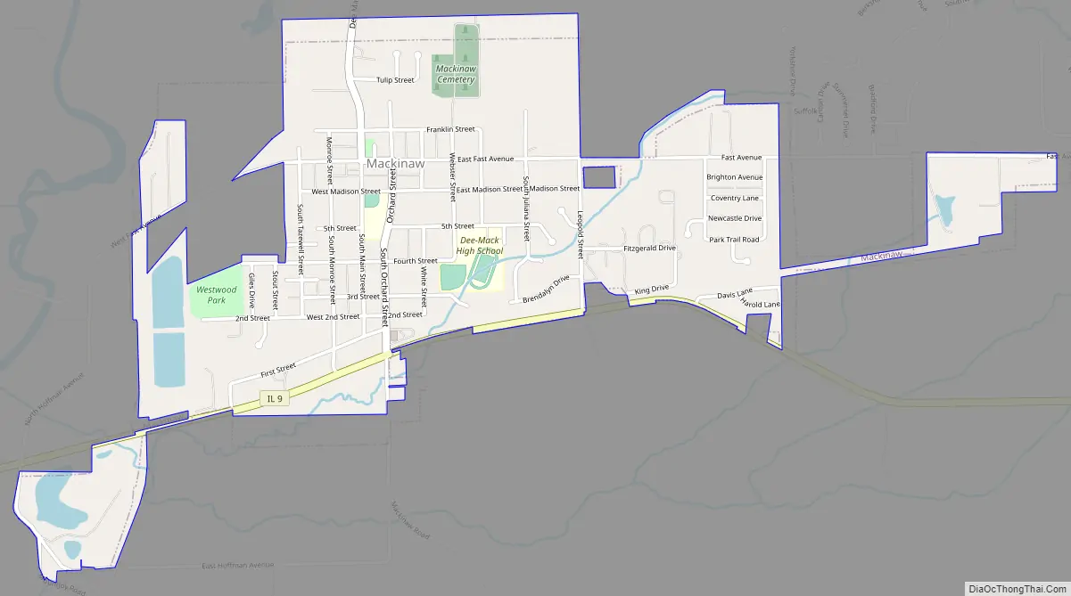
Mackinaw Road Map
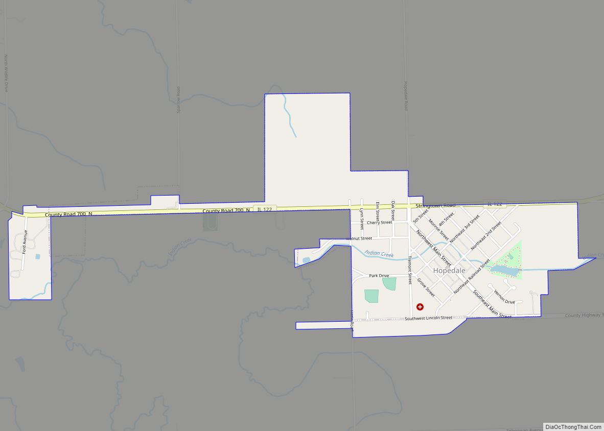
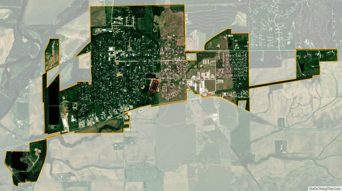
Mackinaw city Satellite Map
Geography
According to the 2010 census, Mackinaw has a total area of 1.38 square miles (3.57 km), of which 1.35 square miles (3.50 km) (or 97.83%) is land and 0.03 square miles (0.08 km) (or 2.17%) is water.
See also
Map of Illinois State and its subdivision:- Adams
- Alexander
- Bond
- Boone
- Brown
- Bureau
- Calhoun
- Carroll
- Cass
- Champaign
- Christian
- Clark
- Clay
- Clinton
- Coles
- Cook
- Crawford
- Cumberland
- De Kalb
- De Witt
- Douglas
- Dupage
- Edgar
- Edwards
- Effingham
- Fayette
- Ford
- Franklin
- Fulton
- Gallatin
- Greene
- Grundy
- Hamilton
- Hancock
- Hardin
- Henderson
- Henry
- Iroquois
- Jackson
- Jasper
- Jefferson
- Jersey
- Jo Daviess
- Johnson
- Kane
- Kankakee
- Kendall
- Knox
- La Salle
- Lake
- Lake Michigan
- Lawrence
- Lee
- Livingston
- Logan
- Macon
- Macoupin
- Madison
- Marion
- Marshall
- Mason
- Massac
- McDonough
- McHenry
- McLean
- Menard
- Mercer
- Monroe
- Montgomery
- Morgan
- Moultrie
- Ogle
- Peoria
- Perry
- Piatt
- Pike
- Pope
- Pulaski
- Putnam
- Randolph
- Richland
- Rock Island
- Saint Clair
- Saline
- Sangamon
- Schuyler
- Scott
- Shelby
- Stark
- Stephenson
- Tazewell
- Union
- Vermilion
- Wabash
- Warren
- Washington
- Wayne
- White
- Whiteside
- Will
- Williamson
- Winnebago
- Woodford
- Alabama
- Alaska
- Arizona
- Arkansas
- California
- Colorado
- Connecticut
- Delaware
- District of Columbia
- Florida
- Georgia
- Hawaii
- Idaho
- Illinois
- Indiana
- Iowa
- Kansas
- Kentucky
- Louisiana
- Maine
- Maryland
- Massachusetts
- Michigan
- Minnesota
- Mississippi
- Missouri
- Montana
- Nebraska
- Nevada
- New Hampshire
- New Jersey
- New Mexico
- New York
- North Carolina
- North Dakota
- Ohio
- Oklahoma
- Oregon
- Pennsylvania
- Rhode Island
- South Carolina
- South Dakota
- Tennessee
- Texas
- Utah
- Vermont
- Virginia
- Washington
- West Virginia
- Wisconsin
- Wyoming