Maple Park is a village in DeKalb and Kane counties in the U.S. state of Illinois. The population was 1,433 at the 2020 census, up from 1,310 at the 2010 census. Maple Park was formerly known as Lodi.
| Name: | Maple Park village |
|---|---|
| LSAD Code: | 47 |
| LSAD Description: | village (suffix) |
| State: | Illinois |
| County: | DeKalb County, Kane County |
| Total Area: | 2.16 sq mi (5.59 km²) |
| Land Area: | 2.15 sq mi (5.58 km²) |
| Water Area: | 0.00 sq mi (0.01 km²) |
| Total Population: | 1,433 |
| Population Density: | 665.27/sq mi (256.87/km²) |
| FIPS code: | 1746604 |
| Website: | villageofmaplepark.org |
Online Interactive Map
Click on ![]() to view map in "full screen" mode.
to view map in "full screen" mode.
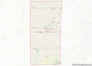
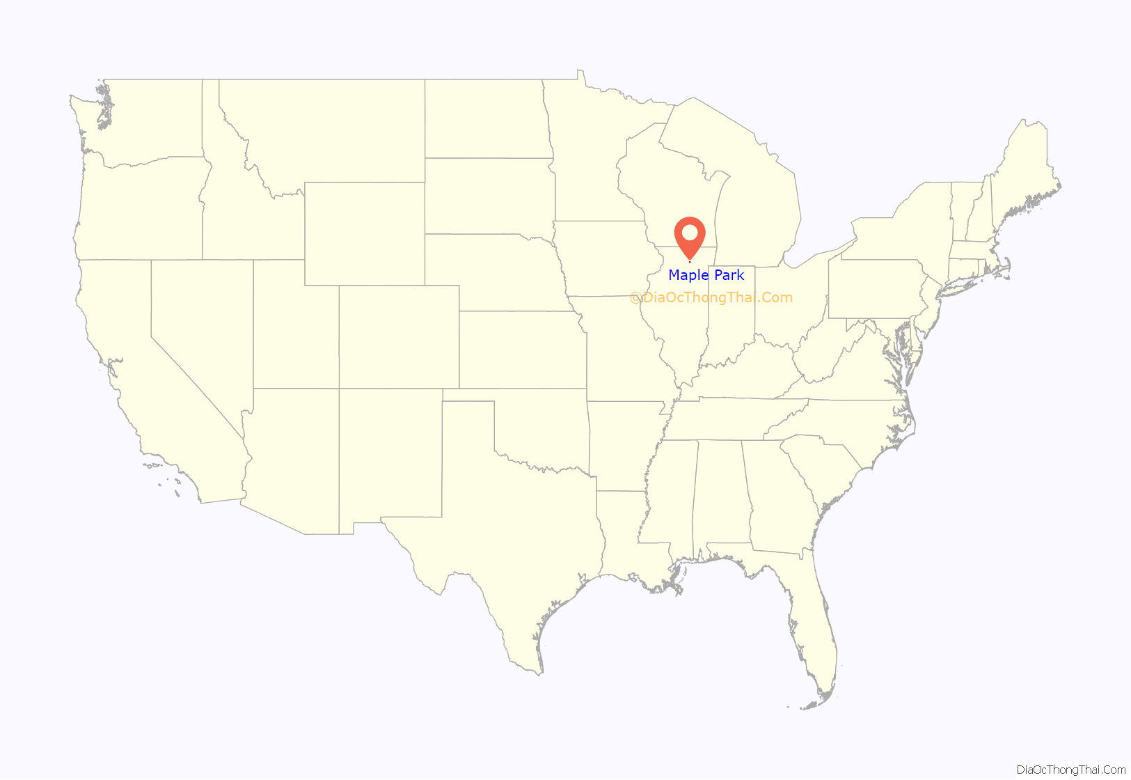
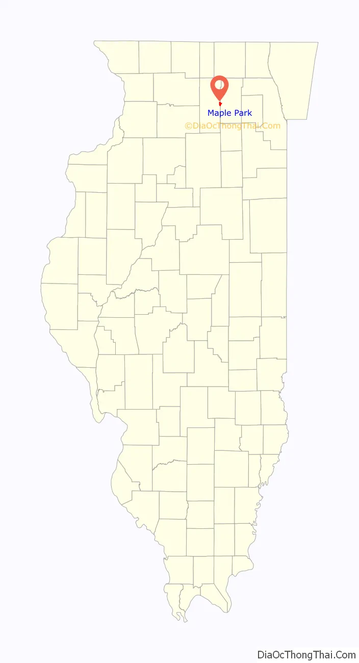
Maple Park location map. Where is Maple Park village?
History
Maple Park was originally called “Lodi”, after Lodi, Lombardy. The present name comes from a nearby grove of sugar maple trees. A post office called “Lodi” was established first in 1837, and the post office was renamed “Maple Park” in 1880.
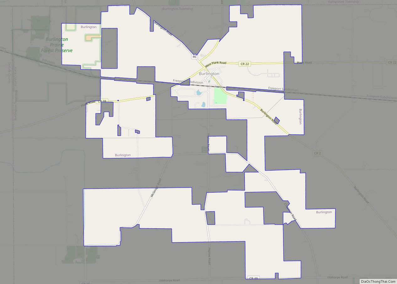
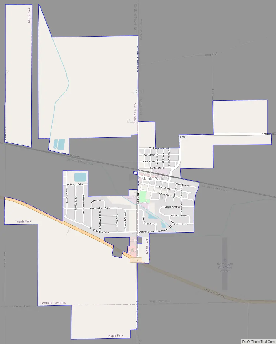
Maple Park Road Map
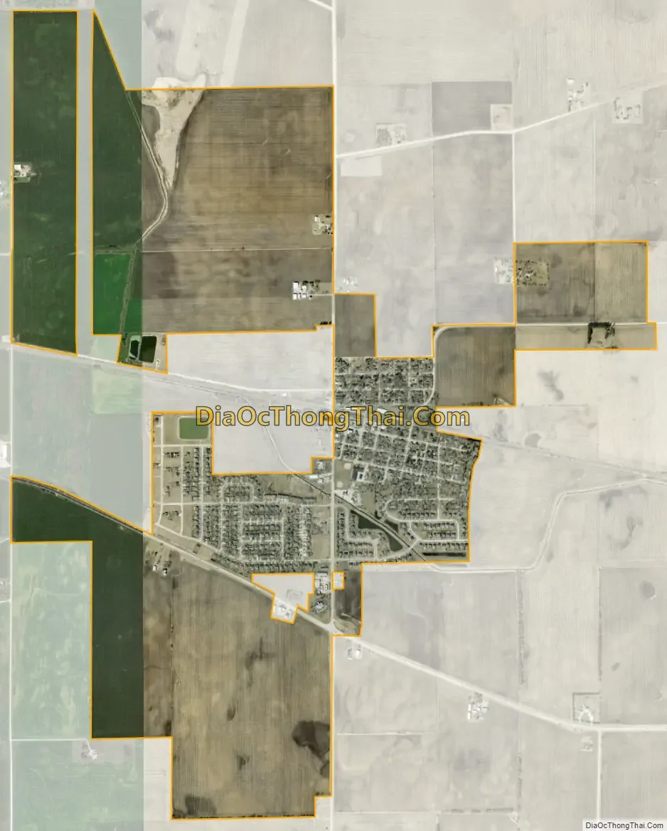
Maple Park city Satellite Map
Geography
Maple Park is located at 41°54′31″N 88°35′53″W / 41.90861°N 88.59806°W / 41.90861; -88.59806 (41.908514, -88.597989), with the majority of the population in Kane County but with more area in DeKalb County. Illinois Route 38 runs through the southern side of the village, leading east 15 miles (24 km) to Geneva and west 8 miles (13 km) to DeKalb. It is 52 miles (84 km) west of downtown Chicago.
According to the 2021 census gazetteer files, Maple Park has a total area of 2.16 square miles (5.59 km), of which 2.15 square miles (5.57 km) (or 99.86%) is land and 0.00 square miles (0.00 km) (or 0.14%) is water.
See also
Map of Illinois State and its subdivision:- Adams
- Alexander
- Bond
- Boone
- Brown
- Bureau
- Calhoun
- Carroll
- Cass
- Champaign
- Christian
- Clark
- Clay
- Clinton
- Coles
- Cook
- Crawford
- Cumberland
- De Kalb
- De Witt
- Douglas
- Dupage
- Edgar
- Edwards
- Effingham
- Fayette
- Ford
- Franklin
- Fulton
- Gallatin
- Greene
- Grundy
- Hamilton
- Hancock
- Hardin
- Henderson
- Henry
- Iroquois
- Jackson
- Jasper
- Jefferson
- Jersey
- Jo Daviess
- Johnson
- Kane
- Kankakee
- Kendall
- Knox
- La Salle
- Lake
- Lake Michigan
- Lawrence
- Lee
- Livingston
- Logan
- Macon
- Macoupin
- Madison
- Marion
- Marshall
- Mason
- Massac
- McDonough
- McHenry
- McLean
- Menard
- Mercer
- Monroe
- Montgomery
- Morgan
- Moultrie
- Ogle
- Peoria
- Perry
- Piatt
- Pike
- Pope
- Pulaski
- Putnam
- Randolph
- Richland
- Rock Island
- Saint Clair
- Saline
- Sangamon
- Schuyler
- Scott
- Shelby
- Stark
- Stephenson
- Tazewell
- Union
- Vermilion
- Wabash
- Warren
- Washington
- Wayne
- White
- Whiteside
- Will
- Williamson
- Winnebago
- Woodford
- Alabama
- Alaska
- Arizona
- Arkansas
- California
- Colorado
- Connecticut
- Delaware
- District of Columbia
- Florida
- Georgia
- Hawaii
- Idaho
- Illinois
- Indiana
- Iowa
- Kansas
- Kentucky
- Louisiana
- Maine
- Maryland
- Massachusetts
- Michigan
- Minnesota
- Mississippi
- Missouri
- Montana
- Nebraska
- Nevada
- New Hampshire
- New Jersey
- New Mexico
- New York
- North Carolina
- North Dakota
- Ohio
- Oklahoma
- Oregon
- Pennsylvania
- Rhode Island
- South Carolina
- South Dakota
- Tennessee
- Texas
- Utah
- Vermont
- Virginia
- Washington
- West Virginia
- Wisconsin
- Wyoming