Markham is a city and a south suburb of Chicago in Cook County, Illinois, United States. The population was 11,661 at the 2020 census.
| Name: | Markham city |
|---|---|
| LSAD Code: | 25 |
| LSAD Description: | city (suffix) |
| State: | Illinois |
| County: | Cook County |
| Incorporated: | 1925 |
| Total Area: | 5.41 sq mi (14.00 km²) |
| Land Area: | 5.41 sq mi (14.00 km²) |
| Water Area: | 0.00 sq mi (0.00 km²) 0% |
| Total Population: | 11,661 |
| Population Density: | 2,157.45/sq mi (833.01/km²) |
| Area code: | 708 |
| FIPS code: | 1747007 |
| Website: | www.cityofmarkham.net |
Online Interactive Map
Click on ![]() to view map in "full screen" mode.
to view map in "full screen" mode.
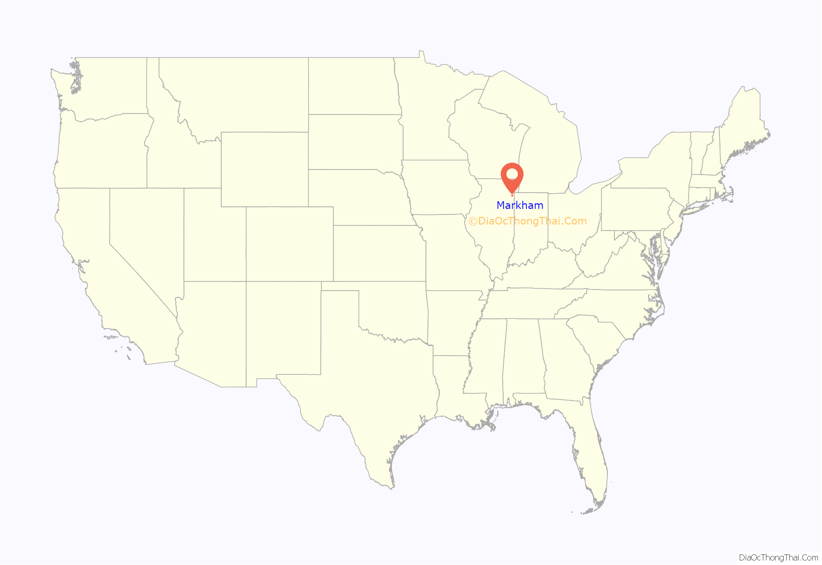
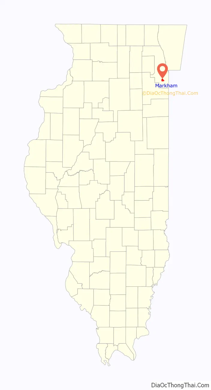
Markham location map. Where is Markham city?
History
It is claimed this area was beach 10,000 years ago. After countless ages of geologic swamps, marshes and sloughs, the prairies dominated the landscape with groves of trees, flowers, and wildlife in abundance.
Markham, southwest of the southern tip of Lake Michigan, had been a crossroad for early pioneers. In 1816 a treaty was made with the Ottawa, Chippewa and Potawatomi tribes which ceded a corridor of land located between a point north of the Chicago River and the mouth of the Calumet River to the settlers. The southern boundary, one of two Indian Treaty Boundary Lines, was surveyed along a line from the Kankakee River to Lake Michigan. The line still appears on government maps and now includes a short portion of Interstate 57 near the US 6 interchange northwest of Markham.
The village of Markham was incorporated in 1925 with a population under 300. The village was named for Charles H. Markham, president of the Illinois Central Railroad 1911–1918, 1919–1926. In the mid-1930s, the Croissant Park subdivision was built and increased the population from 349 to 1,388. After World War II, Markham’s population doubled to 2,753 residents by 1950. The village developed into a bedroom community as residents sought homes, not industry. An airport developed at 165th Street and Kedzie Avenue was the nearest field outside of Chicago. The airport site was located near what is now the Cook County Sixth Circuit Courthouse. On August 24, 1967, Markham was incorporated as a city.
The Lone Pine Tree
In 1860, a German immigrant named Lawrence Roesner made his way to the southern boundary and settled on land located in the northwest corner of Markham. He brought with him six seedlings from the Black Forest of Germany and planted them along the Indian Boundary Line. This “Lone Pine Tree” was adopted as the official city symbol in 1985. The lone survivor of six pine trees brought from the Black Forest in 1860 died in 1986. The Markham City Council appropriated money to get a replacement tree from the Black Forest, which the Markham Garden Club planted that year.
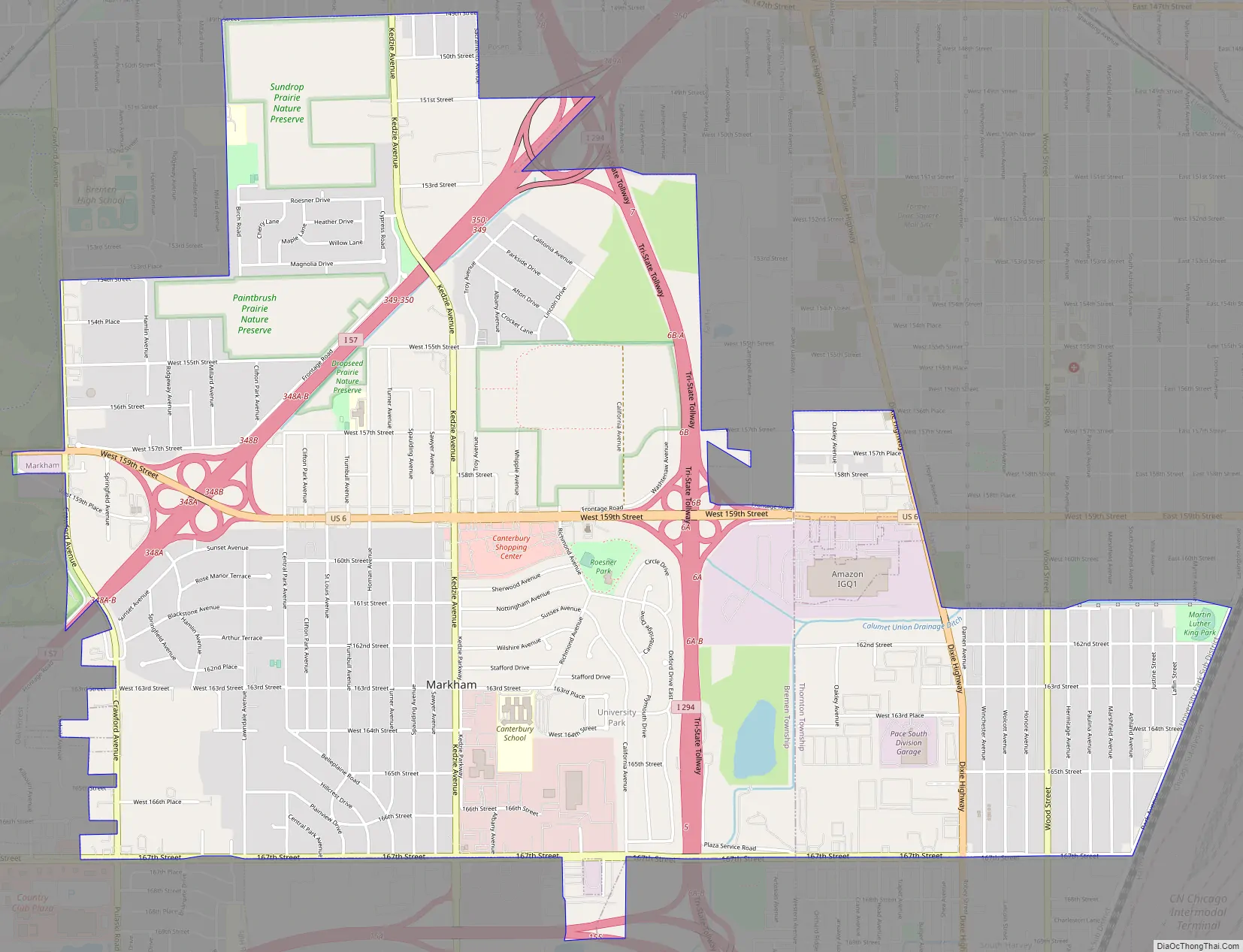
Markham Road Map
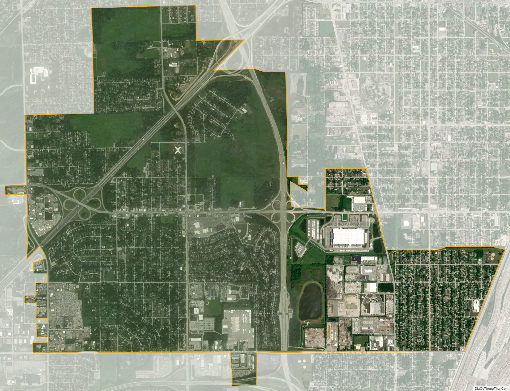
Markham city Satellite Map
Geography
Markham is located at 41°35′51″N 87°41′30″W / 41.59750°N 87.69167°W / 41.59750; -87.69167 (41.597467, -87.691570).
According to the 2021 census gazetteer files, Markham has a total area of 5.41 square miles (14.01 km), all land.
Indian Boundary Prairies
There are approximately 2,500 acres (10 km) of virgin and restored prairie land located within the boundary of Markham. There are four prairies known as “Dropseed”, “Sundrop”, “Paintbrush” and “Gensburg”. The prairie is under the supervision of Northeastern Illinois University and The Nature Conservancy. The Gensburg-Markham Prairie portion has been designated a National Natural Landmark. The prairies continue to grow and flourish with the help of the Friends of the Indian Boundary Prairies.
See also
Map of Illinois State and its subdivision:- Adams
- Alexander
- Bond
- Boone
- Brown
- Bureau
- Calhoun
- Carroll
- Cass
- Champaign
- Christian
- Clark
- Clay
- Clinton
- Coles
- Cook
- Crawford
- Cumberland
- De Kalb
- De Witt
- Douglas
- Dupage
- Edgar
- Edwards
- Effingham
- Fayette
- Ford
- Franklin
- Fulton
- Gallatin
- Greene
- Grundy
- Hamilton
- Hancock
- Hardin
- Henderson
- Henry
- Iroquois
- Jackson
- Jasper
- Jefferson
- Jersey
- Jo Daviess
- Johnson
- Kane
- Kankakee
- Kendall
- Knox
- La Salle
- Lake
- Lake Michigan
- Lawrence
- Lee
- Livingston
- Logan
- Macon
- Macoupin
- Madison
- Marion
- Marshall
- Mason
- Massac
- McDonough
- McHenry
- McLean
- Menard
- Mercer
- Monroe
- Montgomery
- Morgan
- Moultrie
- Ogle
- Peoria
- Perry
- Piatt
- Pike
- Pope
- Pulaski
- Putnam
- Randolph
- Richland
- Rock Island
- Saint Clair
- Saline
- Sangamon
- Schuyler
- Scott
- Shelby
- Stark
- Stephenson
- Tazewell
- Union
- Vermilion
- Wabash
- Warren
- Washington
- Wayne
- White
- Whiteside
- Will
- Williamson
- Winnebago
- Woodford
- Alabama
- Alaska
- Arizona
- Arkansas
- California
- Colorado
- Connecticut
- Delaware
- District of Columbia
- Florida
- Georgia
- Hawaii
- Idaho
- Illinois
- Indiana
- Iowa
- Kansas
- Kentucky
- Louisiana
- Maine
- Maryland
- Massachusetts
- Michigan
- Minnesota
- Mississippi
- Missouri
- Montana
- Nebraska
- Nevada
- New Hampshire
- New Jersey
- New Mexico
- New York
- North Carolina
- North Dakota
- Ohio
- Oklahoma
- Oregon
- Pennsylvania
- Rhode Island
- South Carolina
- South Dakota
- Tennessee
- Texas
- Utah
- Vermont
- Virginia
- Washington
- West Virginia
- Wisconsin
- Wyoming


