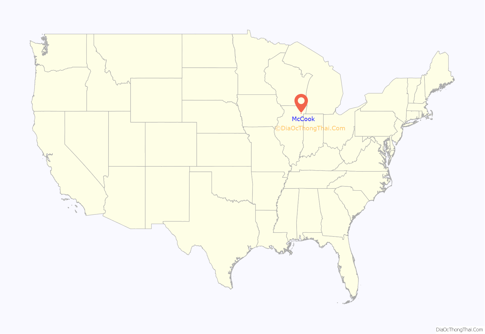
McCook is a village in Cook County, Illinois, United States, and is an industrial suburb of Chicago. As of the 2020 census, the village population was 249, which is the lowest population of all municipalities in the county.
| Name: | McCook village |
|---|---|
| LSAD Code: | 47 |
| LSAD Description: | village (suffix) |
| State: | Illinois |
| County: | Cook County |
| Total Area: | 2.63 sq mi (6.83 km²) |
| Land Area: | 2.61 sq mi (6.77 km²) |
| Water Area: | 0.02 sq mi (0.05 km²) |
| Total Population: | 249 |
| Population Density: | 95.26/sq mi (36.78/km²) |
| Area code: | 708 |
| FIPS code: | 1745564 |
| Website: | www.villageofmccook.org |
Online Interactive Map
Click on ![]() to view map in "full screen" mode.
to view map in "full screen" mode.
McCook location map. Where is McCook village?
History
McCook was named for John J. McCook, a late 19th-century director of the Santa Fe Railroad and a former Civil War officer. McCook station was served by the railroad in the town. The Outlaws Motorcycle Club was established in McCook in 1935 when Old Route 66 passed through the town. In 1958, six people were killed in an explosion at a Reynolds Metals plant. In 1995, the former Universal Oil Products Riverside Laboratory in McCook was awarded with National Historic Chemical Landmark status.
McCook Road Map
McCook city Satellite Map
Geography
McCook is located at 41°47′55″N 87°49′57″W / 41.79861°N 87.83250°W / 41.79861; -87.83250 (41.798542, -87.832432).
According to the 2021 census gazetteer files, McCook has a total area of 2.64 square miles (6.84 km), of which 2.61 square miles (6.76 km) (or 99.20%) is land and 0.02 square miles (0.05 km) (or 0.80%) is water.
McCook is home to a small population but a large amount of heavy industry, resulting in a large tax base.
See also
Map of Illinois State and its subdivision:- Adams
- Alexander
- Bond
- Boone
- Brown
- Bureau
- Calhoun
- Carroll
- Cass
- Champaign
- Christian
- Clark
- Clay
- Clinton
- Coles
- Cook
- Crawford
- Cumberland
- De Kalb
- De Witt
- Douglas
- Dupage
- Edgar
- Edwards
- Effingham
- Fayette
- Ford
- Franklin
- Fulton
- Gallatin
- Greene
- Grundy
- Hamilton
- Hancock
- Hardin
- Henderson
- Henry
- Iroquois
- Jackson
- Jasper
- Jefferson
- Jersey
- Jo Daviess
- Johnson
- Kane
- Kankakee
- Kendall
- Knox
- La Salle
- Lake
- Lake Michigan
- Lawrence
- Lee
- Livingston
- Logan
- Macon
- Macoupin
- Madison
- Marion
- Marshall
- Mason
- Massac
- McDonough
- McHenry
- McLean
- Menard
- Mercer
- Monroe
- Montgomery
- Morgan
- Moultrie
- Ogle
- Peoria
- Perry
- Piatt
- Pike
- Pope
- Pulaski
- Putnam
- Randolph
- Richland
- Rock Island
- Saint Clair
- Saline
- Sangamon
- Schuyler
- Scott
- Shelby
- Stark
- Stephenson
- Tazewell
- Union
- Vermilion
- Wabash
- Warren
- Washington
- Wayne
- White
- Whiteside
- Will
- Williamson
- Winnebago
- Woodford
- Alabama
- Alaska
- Arizona
- Arkansas
- California
- Colorado
- Connecticut
- Delaware
- District of Columbia
- Florida
- Georgia
- Hawaii
- Idaho
- Illinois
- Indiana
- Iowa
- Kansas
- Kentucky
- Louisiana
- Maine
- Maryland
- Massachusetts
- Michigan
- Minnesota
- Mississippi
- Missouri
- Montana
- Nebraska
- Nevada
- New Hampshire
- New Jersey
- New Mexico
- New York
- North Carolina
- North Dakota
- Ohio
- Oklahoma
- Oregon
- Pennsylvania
- Rhode Island
- South Carolina
- South Dakota
- Tennessee
- Texas
- Utah
- Vermont
- Virginia
- Washington
- West Virginia
- Wisconsin
- Wyoming


