Melrose Park is a village in Cook County, Illinois, United States. It is a suburb of Chicago. As of the 2020 census it had a population of 24,796. Melrose Park had long been home to a large Italian-American population.
The suburb was the home of Kiddieland Amusement Park from 1929 until 2010 (it closed in September 2009 before it was demolished in 2010 and the sign of Kiddieland was relocated to the Melrose Park Public Library, a Costco warehouse store now stands in its place), the Shrine of Our Lady of Mt. Carmel, Stern Pinball, Inc., the Melrose Park Taste, and the now-defunct Maywood Park horse racing track.
There is a Metra railroad station in Melrose Park with daily service to Chicago. Melrose Park is home to Gottlieb Memorial Hospital.
| Name: | Melrose Park village |
|---|---|
| LSAD Code: | 47 |
| LSAD Description: | village (suffix) |
| State: | Illinois |
| County: | Cook County |
| Incorporated: | September 11, 1882 |
| Elevation: | 630 ft (190 m) |
| Total Area: | 4.35 sq mi (11.27 km²) |
| Land Area: | 4.35 sq mi (11.27 km²) |
| Water Area: | 0.00 sq mi (0.00 km²) |
| Total Population: | 24,796 |
| Population Density: | 5,696.30/sq mi (2,199.22/km²) |
| FIPS code: | 1748242 |
| Website: | melrosepark.org |
Online Interactive Map
Click on ![]() to view map in "full screen" mode.
to view map in "full screen" mode.
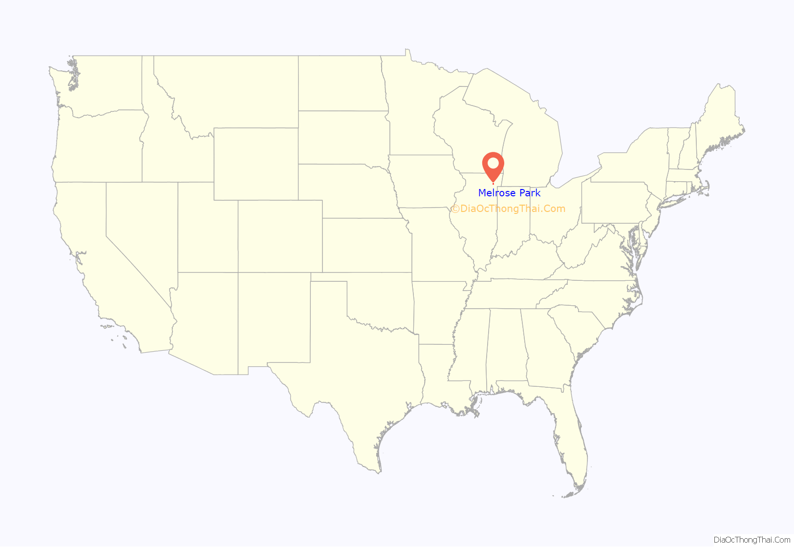
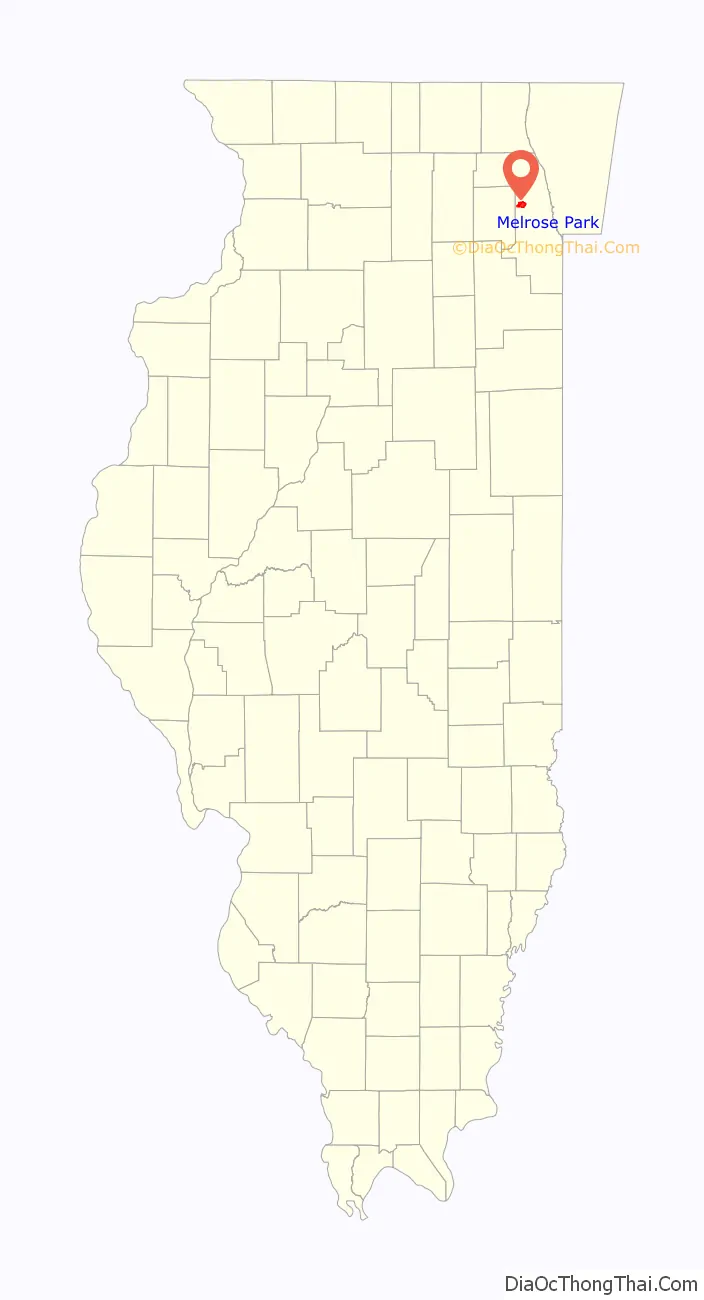
Melrose Park location map. Where is Melrose Park village?
History
According to the Encyclopedia of Chicago, in 1882 residents of a then-unincorporated portion of Proviso Township voted to establish their own municipality—called simply “Melrose” until 11 years later, in 1893, when the “Park” was added and population in the area began to steadily increase. The first Italian-Americans arrived in 1888.
On March 28, 1920, the F4 Palm Sunday tornado cut a 328-foot-wide (100 m) path over 1,094 yards (1,000 m) through the village and killed ten people. It destroyed the Sacred Heart Church and attached convent.
At the turn of the 20th century, the population surge plateaued and industry began to stagnate; it was only after World War I that the local economy was able to recover, the result of a number of manufacturing companies setting up shop in the village. New industry, coupled with Melrose Park’s prime geographic location next to the Proviso freight yards, led to a steady increase in the number of area jobs. This continued after World War II, with still more companies moving to Melrose Park. Zenith Electronics, Alberto-Culver, Jewel, and International Harvester (now Navistar) are some examples. Many of these companies are still located in Melrose Park and the local industry remains stable, but Alberto-Culver no longer exists, Zenith continues to exist as a brand only today, and Navistar’s plant facility closed in 2021 and was eventually demolished.
During the late 1990s, in an effort to attract more commerce, the village underwent major cosmetic improvements, beginning with the redesigning of all village street signs. The wooded area on both sides of Silver Creek, between Broadway and 17th Avenue along North Avenue, was almost completely excavated, the grass replaced, and wood chips were added along the bases of the remaining trees. Many busy streets were repaved and the athletic field next to the village hall was completely redone. This has helped not only to attract new businesses, but also many first-time home buyers.
The athletic field next to the village hall is named after the late Ralph “Babe” Serpico, father of the current mayor, Ronald M. Serpico.
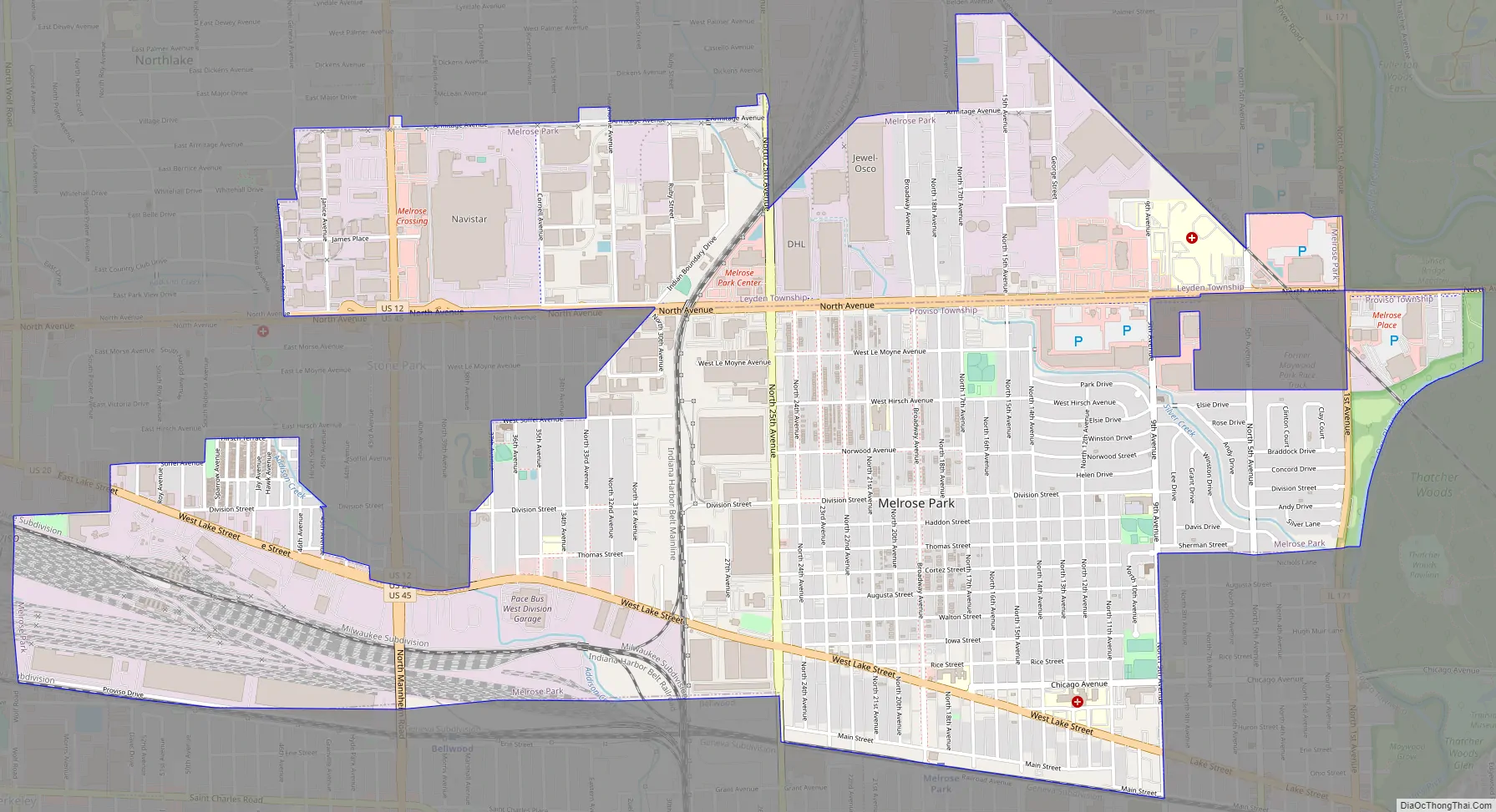
Melrose Park Road Map
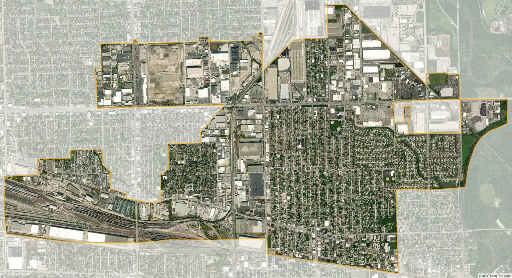
Melrose Park city Satellite Map
Geography
According to the 2021 census gazetteer files, Melrose Park has a total area of 4.35 square miles (11.27 km), all land.
See also
Map of Illinois State and its subdivision:- Adams
- Alexander
- Bond
- Boone
- Brown
- Bureau
- Calhoun
- Carroll
- Cass
- Champaign
- Christian
- Clark
- Clay
- Clinton
- Coles
- Cook
- Crawford
- Cumberland
- De Kalb
- De Witt
- Douglas
- Dupage
- Edgar
- Edwards
- Effingham
- Fayette
- Ford
- Franklin
- Fulton
- Gallatin
- Greene
- Grundy
- Hamilton
- Hancock
- Hardin
- Henderson
- Henry
- Iroquois
- Jackson
- Jasper
- Jefferson
- Jersey
- Jo Daviess
- Johnson
- Kane
- Kankakee
- Kendall
- Knox
- La Salle
- Lake
- Lake Michigan
- Lawrence
- Lee
- Livingston
- Logan
- Macon
- Macoupin
- Madison
- Marion
- Marshall
- Mason
- Massac
- McDonough
- McHenry
- McLean
- Menard
- Mercer
- Monroe
- Montgomery
- Morgan
- Moultrie
- Ogle
- Peoria
- Perry
- Piatt
- Pike
- Pope
- Pulaski
- Putnam
- Randolph
- Richland
- Rock Island
- Saint Clair
- Saline
- Sangamon
- Schuyler
- Scott
- Shelby
- Stark
- Stephenson
- Tazewell
- Union
- Vermilion
- Wabash
- Warren
- Washington
- Wayne
- White
- Whiteside
- Will
- Williamson
- Winnebago
- Woodford
- Alabama
- Alaska
- Arizona
- Arkansas
- California
- Colorado
- Connecticut
- Delaware
- District of Columbia
- Florida
- Georgia
- Hawaii
- Idaho
- Illinois
- Indiana
- Iowa
- Kansas
- Kentucky
- Louisiana
- Maine
- Maryland
- Massachusetts
- Michigan
- Minnesota
- Mississippi
- Missouri
- Montana
- Nebraska
- Nevada
- New Hampshire
- New Jersey
- New Mexico
- New York
- North Carolina
- North Dakota
- Ohio
- Oklahoma
- Oregon
- Pennsylvania
- Rhode Island
- South Carolina
- South Dakota
- Tennessee
- Texas
- Utah
- Vermont
- Virginia
- Washington
- West Virginia
- Wisconsin
- Wyoming


