New Lenox is a village in central Will County, Illinois, United States. It is a southwestern suburb of Chicago and an eastern suburb of Joliet. The village population was 28,060 as of 2023. New Lenox has schools like Lincoln-Way West High School, Providence Catholic High School, and Lincoln-Way Central High School.
| Name: | New Lenox village |
|---|---|
| LSAD Code: | 47 |
| LSAD Description: | village (suffix) |
| State: | Illinois |
| County: | Will County |
| Incorporated: | 1946 |
| Total Area: | 15.76 sq mi (40.81 km²) |
| Land Area: | 15.73 sq mi (40.73 km²) |
| Water Area: | 0.03 sq mi (0.07 km²) |
| Total Population: | 27,214 |
| Population Density: | 1,730.29/sq mi (668.08/km²) |
| ZIP code: | 60451 |
| FIPS code: | 1752584 |
| Website: | newlenox.net |
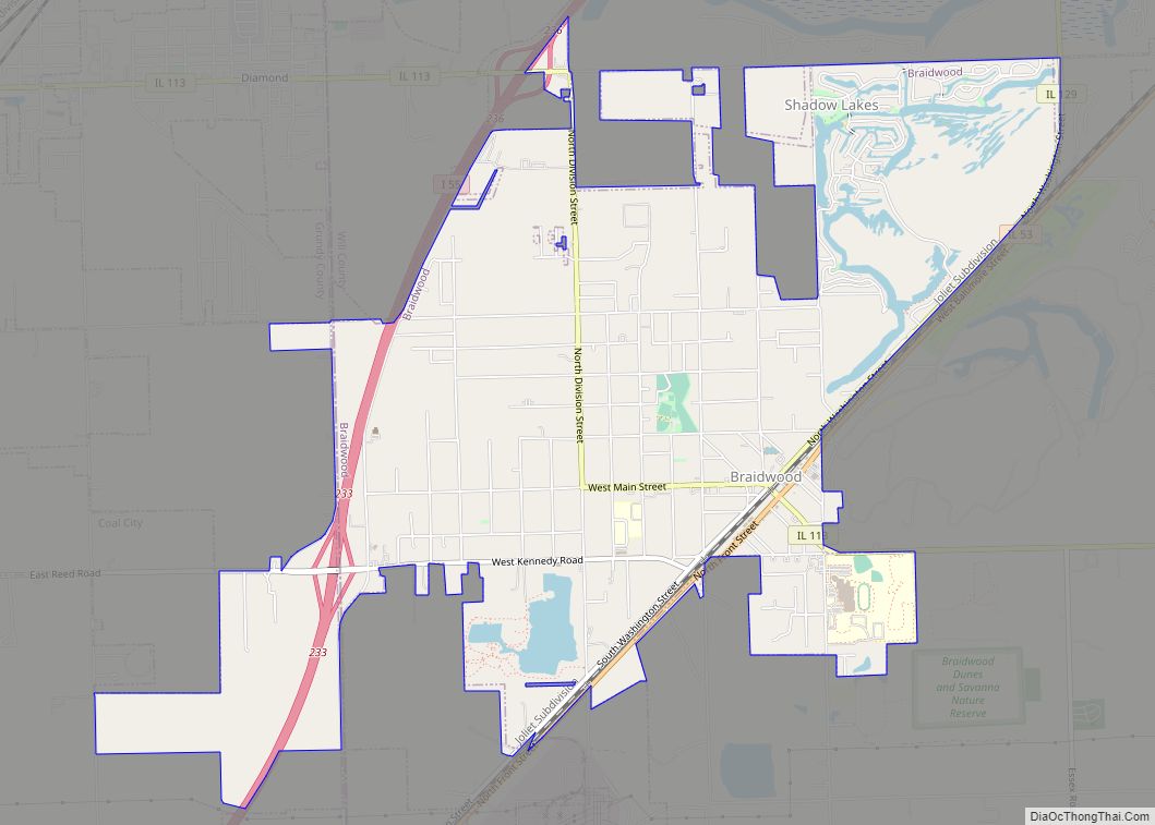
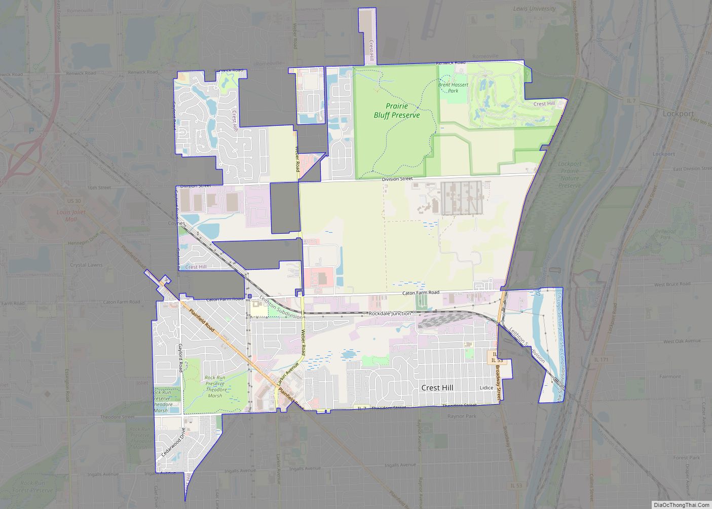
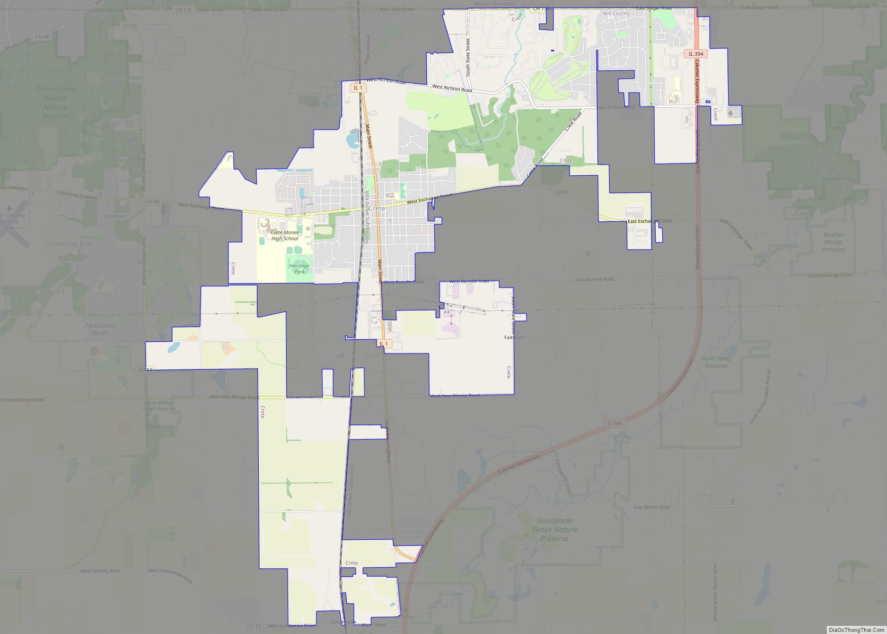
Online Interactive Map
Click on ![]() to view map in "full screen" mode.
to view map in "full screen" mode.
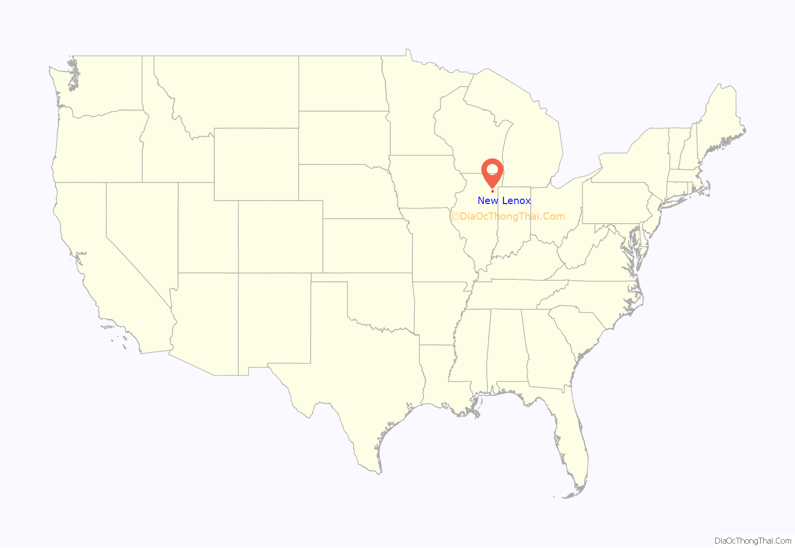
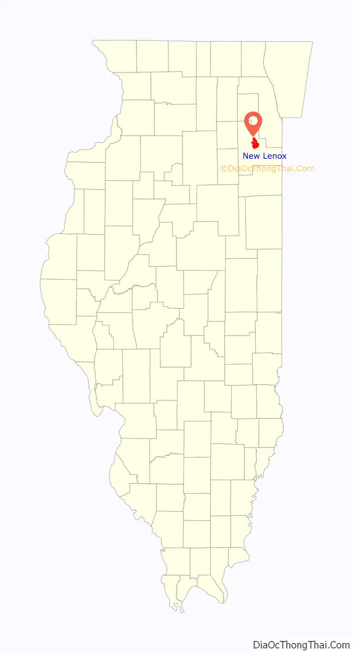
New Lenox location map. Where is New Lenox village?
History
What is now the Village of New Lenox was first settled in the late 1820s, in the area of Gougar crossing (Route 30 and Gougar Road) and it was called VanHorne Point. New Lenox Township was established when Will County was created in 1852 with the building of the Rock Island Railroad between Chicago and Rock Island, Illinois. Originally named Tracey in honor of the general superintendent of the Rock Island Railroad. Mr. Tracy later requested that the community be renamed. The first supervisor of the Rock Island Railway for New Lenox Township, John Van Duser, named the Township New Lenox from the town Lenox, New York, which was Van Duser’s hometown. In 1863, the name for the new settlement officially became New Lenox Township.
The Village of New Lenox was officially created on October 4, 1946. In 1945, 46 community leaders, F. Carlton Cole, Walter Baers and others reasoned that the community should be incorporated. Recognizing the benefits and the potential growth of the area, a community vote in the spring of 1946 resulted in the authorization for the creation of the Village of New Lenox. On October 4, 1946, the State of Illinois officially certified that New Lenox was legally organized and incorporated as a Village in the State of Ill
In 1829, fur traders Aaron Friend and Joseph Brown established an outpost along the north side of Hickory Creek (near today’s Gougar Road), which was one of the earliest settlements in Will County. Friend moved west with the Native Americans after the Blackhawk War of 1832. In 1830, William Rice, Sr. and William Rice, Jr. arrived and began farming and building a log cabin, which they sold along with their land to John Gougar on behalf of his father William Gougar. In 1832, “Uncle Billy” Gougar established a post office at his farm where area residents would pick up their mail. The Gougar farm became the center of activity in the area.
Joseph Norman, who opened the second area sawmill in 1833, was also the father of Elizabeth Norman, born in 1832, and was the first child born in New Lenox Township. In 1852, the coming of the Rock Island Railroad changed the settlement of the Township. Before the railroad, farmers hauled their goods to the I & M Canal or by wagon all the way to larger cities like Chicago. The railroad brought distant markets to the farmer, along with more visitors and the mail. Later three additional railroads: the Wabash, the Michigan Central, and the Elgin, Joliet and Eastern all crossed New Lenox Township. Gradually the area east of Gougar Crossing along the railroad tracks became the new center of town and so the Village of New Lenox began.
The village was platted in 1858. The name Tracy was the name shown on the original plat to honor the general superintendent of the Rock Island Railroad. Tracy requested that another name be found. The first supervisor for New Lenox Township J. Van Duser had named the Township New Lenox from the town of Lenox, New York, which was Van Duser’s home town. In 1863, the name for the new settlement officially became New Lenox after the Township. The coming of the Rock Island Railroad in 1852 changed the settlement of the Township considerably. Previously farmers could do “cash crop” farming by hauling the products to the I & M Canal or by wagon all the way to larger cities like Chicago. The presence of the railroad brought distant markets to the farmer. Eventually New Lenox Township was served by three additional railroads: the Wabash, the Michigan Central, and the Elgin, Joliet and Eastern.
The most prominent citizen of New Lenox at the turn of the century was H. N. Higinbotham. Although Mr. Higinbotham’s home was located in New Lenox, he became famous in Chicago where he was a partner in Marshall Field’s, a banker, and the organizing and supervising force behind the World’s Columbian Exposition of 1893. He was a colleague and friend of most of Chicago’s leaders, including George Pullman, Marshall Field, and the Palmers. Mr. Higinbotham once owned the farms that later became Pilcher Park. He owned and operated one of the largest carnation and rose greenhouse businesses in this area. In 1898, the first rural Bell telephone company in Illinois came to New Lenox. By 1905, there were 132 subscribers. The switchboard operators worked in homes so that 24 hour service could be given to customers to handle emergencies. The Deadmore home at 221 Haven Avenue was the first location for the switchboard.
New Lenox is known as “The Home of Proud Americans”, which exemplifies the quality of life in the community.
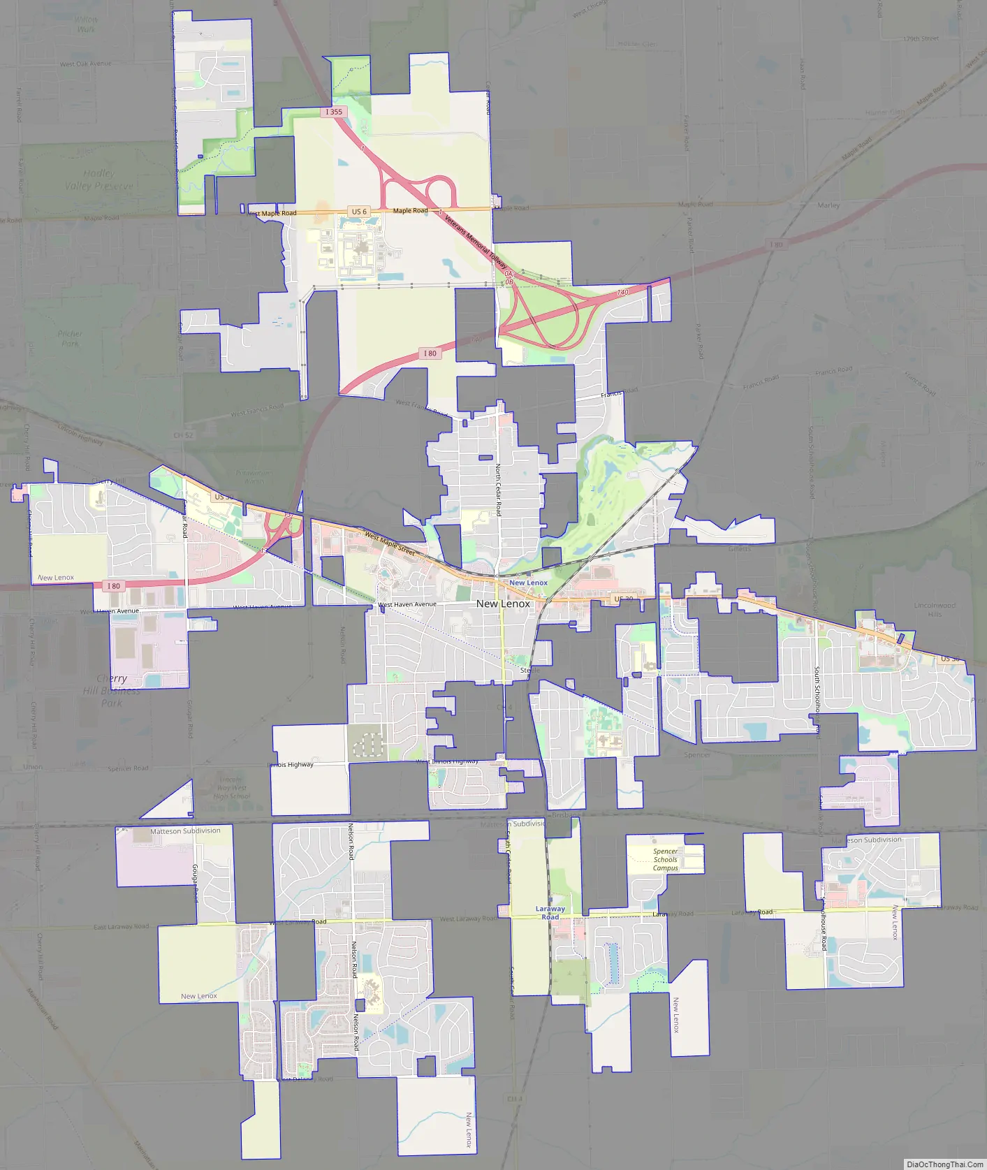
New Lenox Road Map
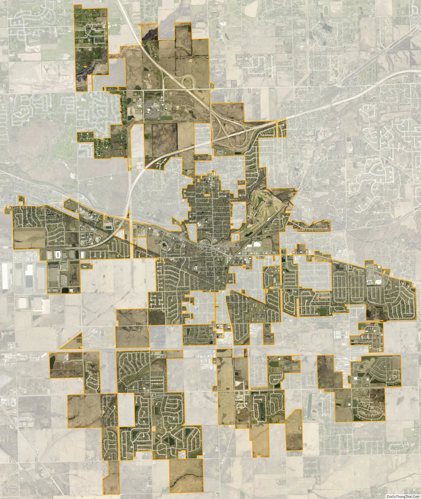
New Lenox city Satellite Map
Geography
New Lenox is located approximately 36 miles southwest of downtown Chicago at 41°30′30″N 87°58′14″W / 41.50833°N 87.97056°W / 41.50833; -87.97056 (41.508251, -87.970597). According to the 2010 census, New Lenox has a total area of 15.683 square miles (40.62 km), of which 15.66 square miles (40.56 km) (or 99.85%) is land and 0.023 square miles (0.06 km) (or 0.15%) is water. It is bordered by Joliet to the northwest, Ingalls Park to the west, Mokena to the east, Frankfort to the southeast and Manhattan to the south.
See also
Map of Illinois State and its subdivision:- Adams
- Alexander
- Bond
- Boone
- Brown
- Bureau
- Calhoun
- Carroll
- Cass
- Champaign
- Christian
- Clark
- Clay
- Clinton
- Coles
- Cook
- Crawford
- Cumberland
- De Kalb
- De Witt
- Douglas
- Dupage
- Edgar
- Edwards
- Effingham
- Fayette
- Ford
- Franklin
- Fulton
- Gallatin
- Greene
- Grundy
- Hamilton
- Hancock
- Hardin
- Henderson
- Henry
- Iroquois
- Jackson
- Jasper
- Jefferson
- Jersey
- Jo Daviess
- Johnson
- Kane
- Kankakee
- Kendall
- Knox
- La Salle
- Lake
- Lake Michigan
- Lawrence
- Lee
- Livingston
- Logan
- Macon
- Macoupin
- Madison
- Marion
- Marshall
- Mason
- Massac
- McDonough
- McHenry
- McLean
- Menard
- Mercer
- Monroe
- Montgomery
- Morgan
- Moultrie
- Ogle
- Peoria
- Perry
- Piatt
- Pike
- Pope
- Pulaski
- Putnam
- Randolph
- Richland
- Rock Island
- Saint Clair
- Saline
- Sangamon
- Schuyler
- Scott
- Shelby
- Stark
- Stephenson
- Tazewell
- Union
- Vermilion
- Wabash
- Warren
- Washington
- Wayne
- White
- Whiteside
- Will
- Williamson
- Winnebago
- Woodford
- Alabama
- Alaska
- Arizona
- Arkansas
- California
- Colorado
- Connecticut
- Delaware
- District of Columbia
- Florida
- Georgia
- Hawaii
- Idaho
- Illinois
- Indiana
- Iowa
- Kansas
- Kentucky
- Louisiana
- Maine
- Maryland
- Massachusetts
- Michigan
- Minnesota
- Mississippi
- Missouri
- Montana
- Nebraska
- Nevada
- New Hampshire
- New Jersey
- New Mexico
- New York
- North Carolina
- North Dakota
- Ohio
- Oklahoma
- Oregon
- Pennsylvania
- Rhode Island
- South Carolina
- South Dakota
- Tennessee
- Texas
- Utah
- Vermont
- Virginia
- Washington
- West Virginia
- Wisconsin
- Wyoming