Oak Brook is a village in DuPage County and Cook County, Illinois, United States. The population was 8,163 at the 2020 census.
A suburb of Chicago, it contains the headquarters of Ace Hardware, Blistex, Federal Signal, CenterPoint Properties, Sanford L.P., TreeHouse Foods, and Lions Clubs International, and former headquarters of McDonald’s and Ferrara Candy.
| Name: | Oak Brook village |
|---|---|
| LSAD Code: | 47 |
| LSAD Description: | village (suffix) |
| State: | Illinois |
| County: | Cook County, DuPage County |
| Incorporated: | 1958 |
| Elevation: | 663 ft (202 m) |
| Total Area: | 8.30 sq mi (21.49 km²) |
| Land Area: | 7.98 sq mi (20.66 km²) |
| Water Area: | 0.32 sq mi (0.83 km²) 3.99% |
| Total Population: | 8,163 |
| Population Density: | 1,023.45/sq mi (395.15/km²) |
| Area code: | 630 and 331 |
| FIPS code: | 1754534 |
| Website: | www.oak-brook.org |
Online Interactive Map
Click on ![]() to view map in "full screen" mode.
to view map in "full screen" mode.
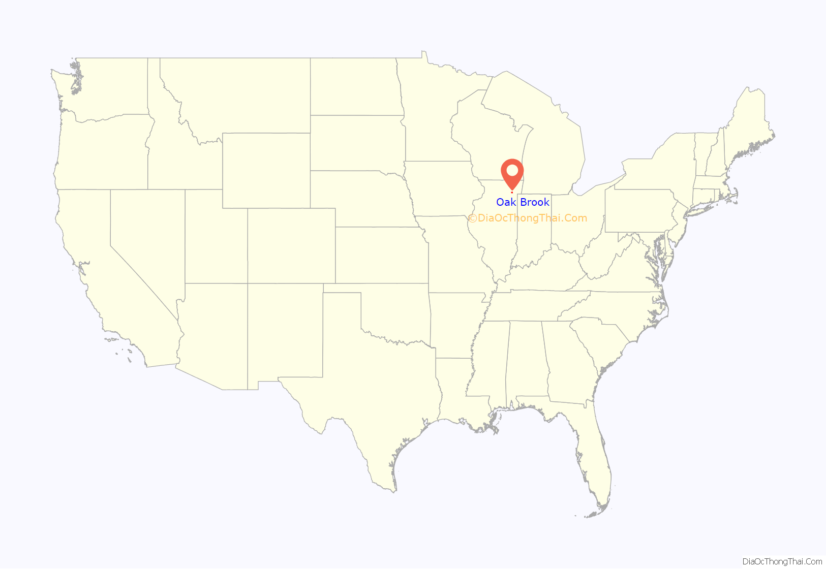
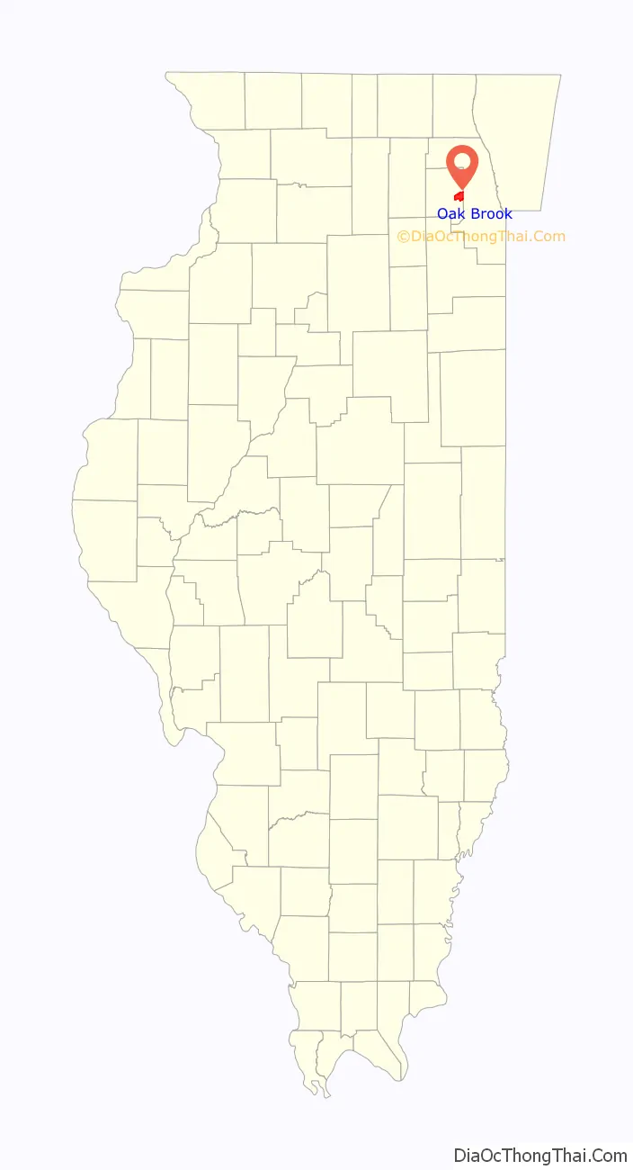
Oak Brook location map. Where is Oak Brook village?
History
Oak Brook was originally known as Fullersburg, named after Ben Fuller, an early settler.
Oak Brook was incorporated as a village in 1958, due in large part to the efforts of Paul Butler, a prominent civic leader and landowner whose father had first moved to the vicinity in 1898 and opened a dairy farm shortly thereafter. Prior to incorporation, the name Oak Brook was used by local residents to distinguish their community from neighboring Hinsdale and Elmhurst, going back to the founding of the Oak Brook Civic Association almost two decades earlier.
The original boundaries were smaller than the present extent of the village, but a considerable amount of land was annexed soon after the founding of the village, including the land that is now the site of the Oakbrook Center shopping mall, which opened in 1962.
In 1964 Butler entered a joint venture with the Del E. Webb Corporation of Phoenix, Arizona to increase development of the area. Webb’s construction company constructed dozens of buildings in Oak Brook both commercial and residential. The Webb Corporation’s involvement in the development of the village lasted into the late 1970s.
Paul Butler’s interest in sport was reflected in the Oak Brook Sports Core, which features polo fields, a golf course (which was at one time the venue for the Western Open), swimming and tennis facilities, and other recreational facilities not commonly found in a village of this size.
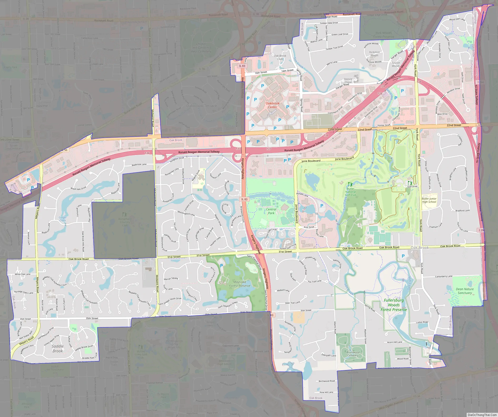
Oak Brook Road Map
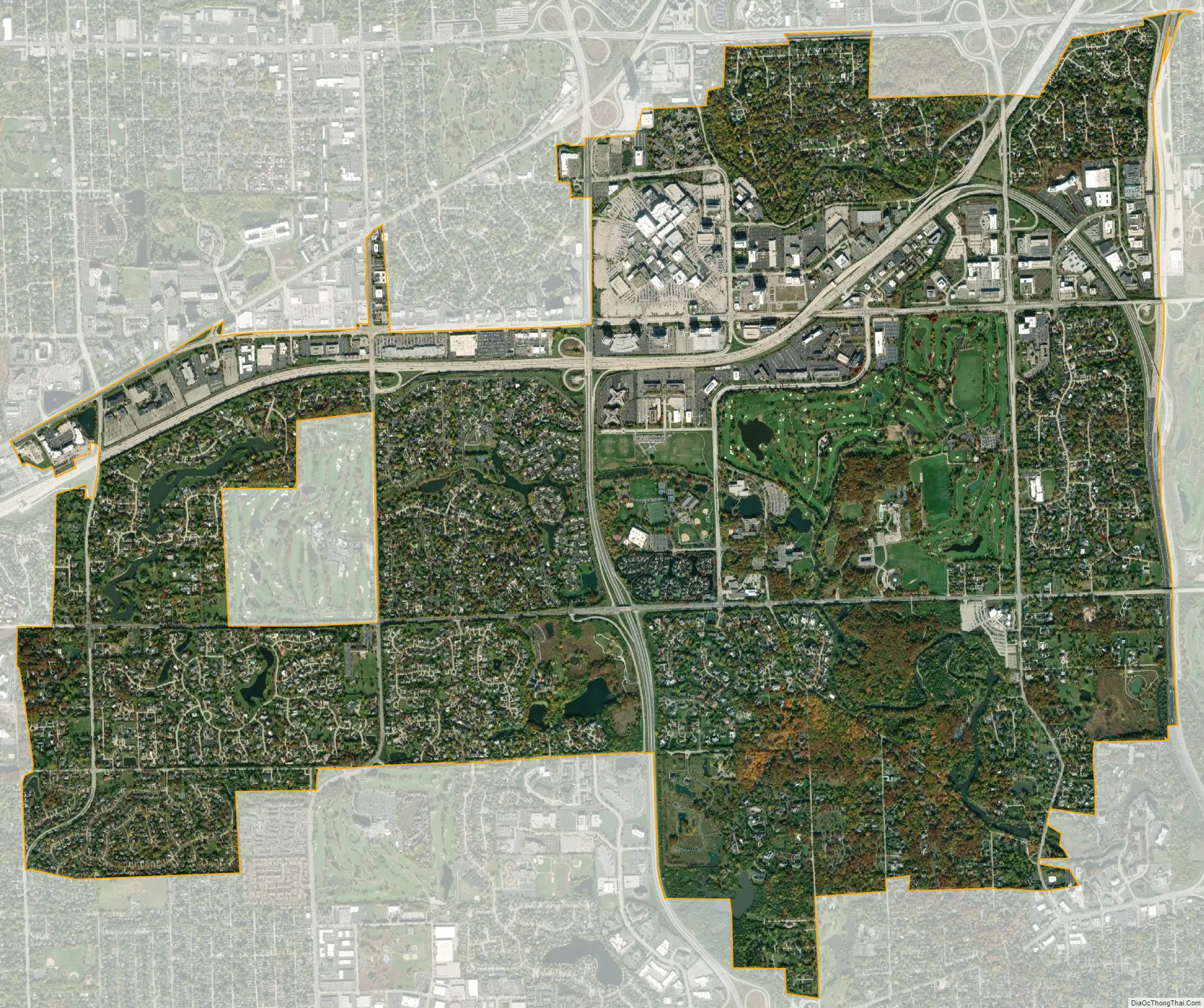
Oak Brook city Satellite Map
Geography
According to the 2021 census gazetteer files, Oak Brook has a total area of 8.29 square miles (21.47 km), of which 7.96 square miles (20.62 km) (or 96.11%) is land and 0.32 square miles (0.83 km) (or 3.89%) is water.
Oak Brook is located about 19 miles (31 km) west of the Chicago Loop (downtown Chicago).
Most of Oak Brook consists of residential subdivisions, with the exception of the Oakbrook Center shopping mall and other retail and office properties along 22nd Street and the Interstate 88 corridor in the northern part of the village.
See also
Map of Illinois State and its subdivision:- Adams
- Alexander
- Bond
- Boone
- Brown
- Bureau
- Calhoun
- Carroll
- Cass
- Champaign
- Christian
- Clark
- Clay
- Clinton
- Coles
- Cook
- Crawford
- Cumberland
- De Kalb
- De Witt
- Douglas
- Dupage
- Edgar
- Edwards
- Effingham
- Fayette
- Ford
- Franklin
- Fulton
- Gallatin
- Greene
- Grundy
- Hamilton
- Hancock
- Hardin
- Henderson
- Henry
- Iroquois
- Jackson
- Jasper
- Jefferson
- Jersey
- Jo Daviess
- Johnson
- Kane
- Kankakee
- Kendall
- Knox
- La Salle
- Lake
- Lake Michigan
- Lawrence
- Lee
- Livingston
- Logan
- Macon
- Macoupin
- Madison
- Marion
- Marshall
- Mason
- Massac
- McDonough
- McHenry
- McLean
- Menard
- Mercer
- Monroe
- Montgomery
- Morgan
- Moultrie
- Ogle
- Peoria
- Perry
- Piatt
- Pike
- Pope
- Pulaski
- Putnam
- Randolph
- Richland
- Rock Island
- Saint Clair
- Saline
- Sangamon
- Schuyler
- Scott
- Shelby
- Stark
- Stephenson
- Tazewell
- Union
- Vermilion
- Wabash
- Warren
- Washington
- Wayne
- White
- Whiteside
- Will
- Williamson
- Winnebago
- Woodford
- Alabama
- Alaska
- Arizona
- Arkansas
- California
- Colorado
- Connecticut
- Delaware
- District of Columbia
- Florida
- Georgia
- Hawaii
- Idaho
- Illinois
- Indiana
- Iowa
- Kansas
- Kentucky
- Louisiana
- Maine
- Maryland
- Massachusetts
- Michigan
- Minnesota
- Mississippi
- Missouri
- Montana
- Nebraska
- Nevada
- New Hampshire
- New Jersey
- New Mexico
- New York
- North Carolina
- North Dakota
- Ohio
- Oklahoma
- Oregon
- Pennsylvania
- Rhode Island
- South Carolina
- South Dakota
- Tennessee
- Texas
- Utah
- Vermont
- Virginia
- Washington
- West Virginia
- Wisconsin
- Wyoming


