Oakwood Hills is a village in McHenry County, Illinois, United States. It was founded in 1959. The population was 2,076 at the 2020 census.
| Name: | Oakwood Hills village |
|---|---|
| LSAD Code: | 47 |
| LSAD Description: | village (suffix) |
| State: | Illinois |
| County: | McHenry County |
| Founded: | 1959 |
| Elevation: | 825 ft (251 m) |
| Total Area: | 1.17 sq mi (3.04 km²) |
| Land Area: | 1.09 sq mi (2.82 km²) |
| Water Area: | 0.08 sq mi (0.22 km²) |
| Total Population: | 2,076 |
| Population Density: | 1,908.09/sq mi (736.58/km²) |
| ZIP code: | 60013 |
| Area code: | 224 |
| FIPS code: | 1755041 |
| Website: | www.oakwoodhills.org |
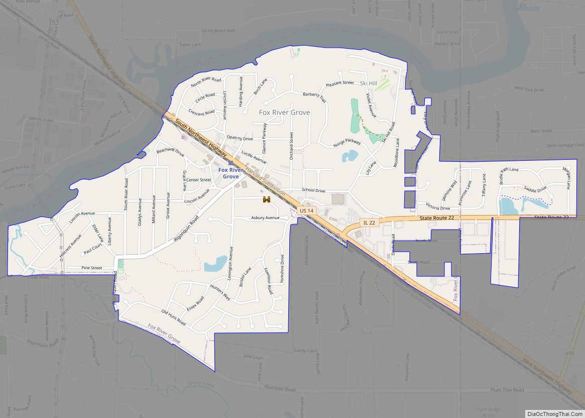
Online Interactive Map
Click on ![]() to view map in "full screen" mode.
to view map in "full screen" mode.
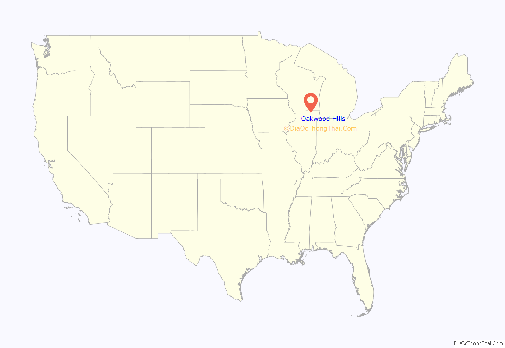
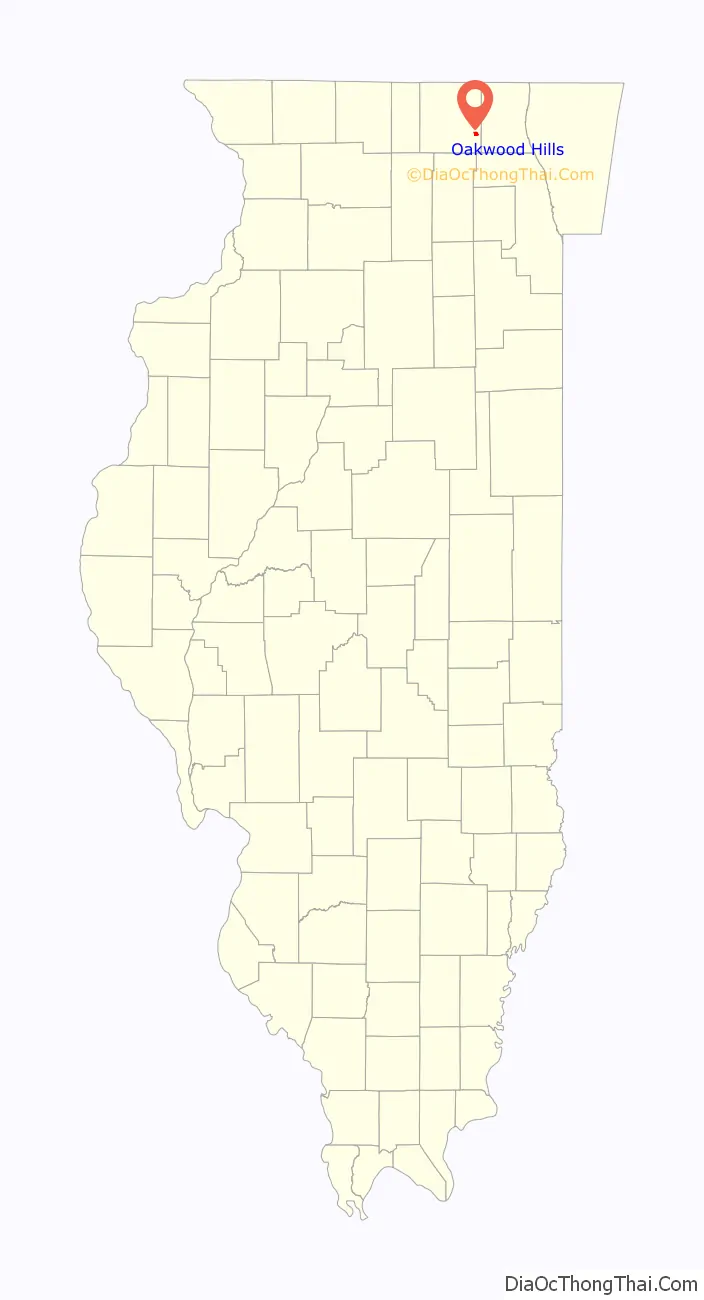
Oakwood Hills location map. Where is Oakwood Hills village?
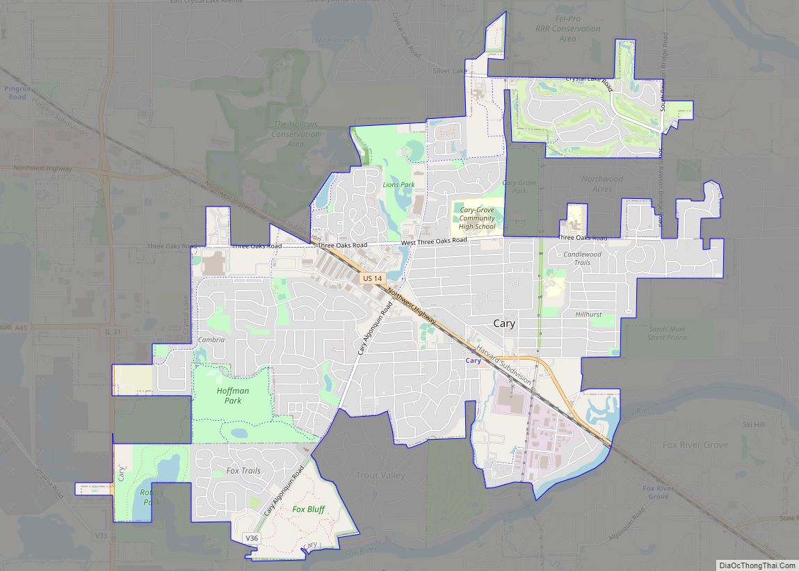
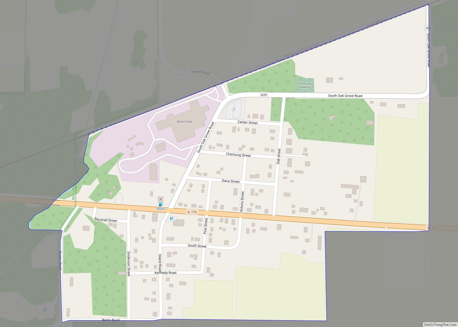
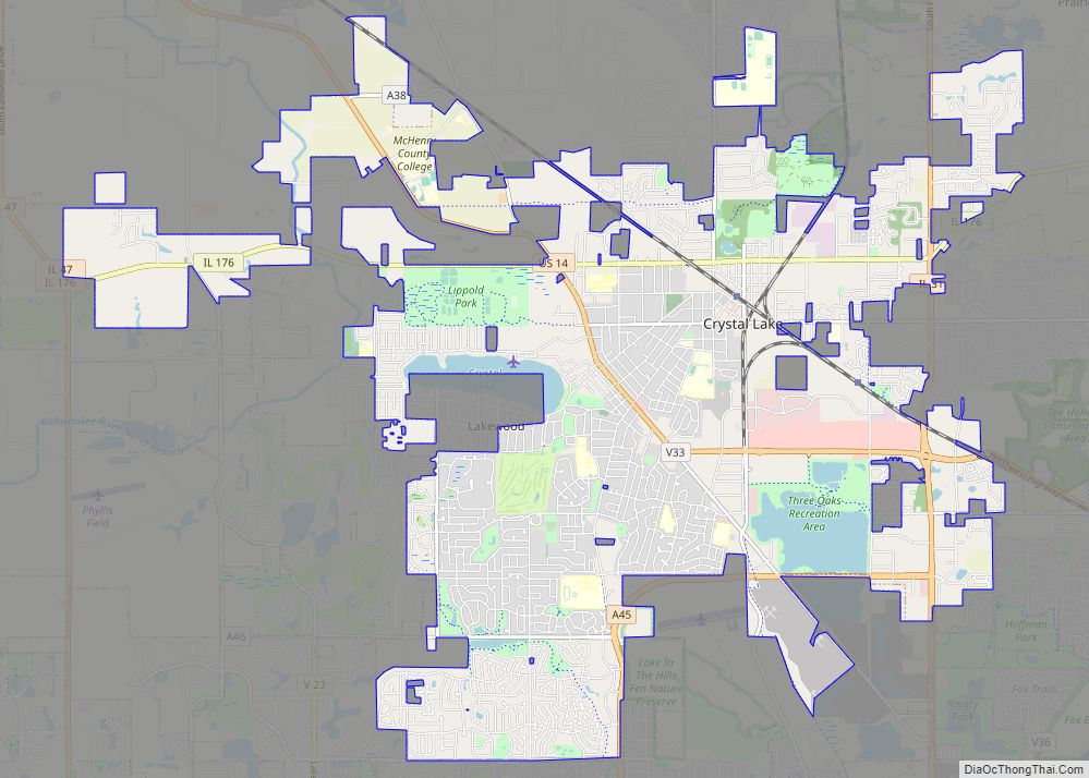
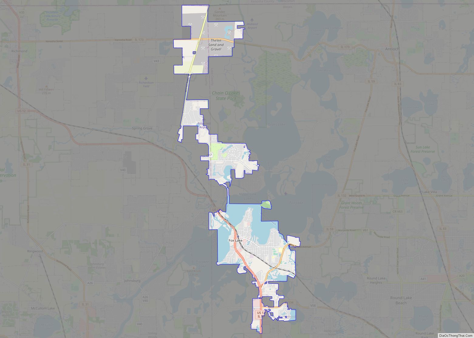
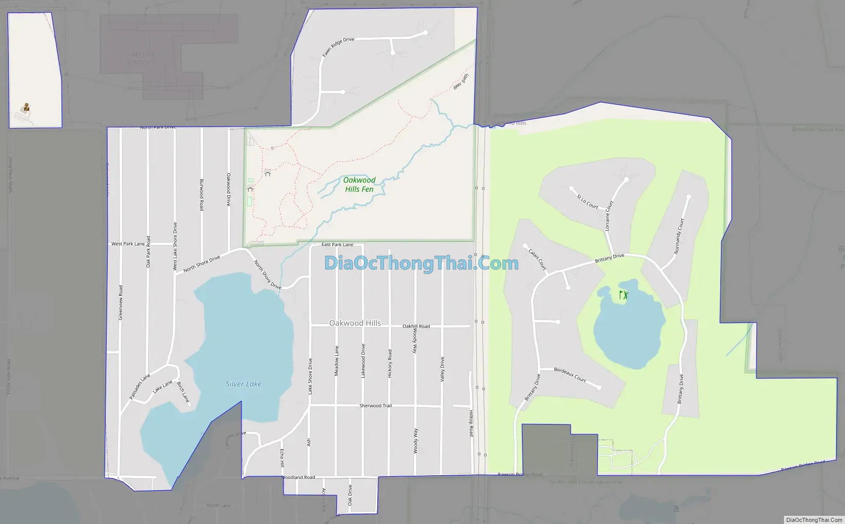
Oakwood Hills Road Map
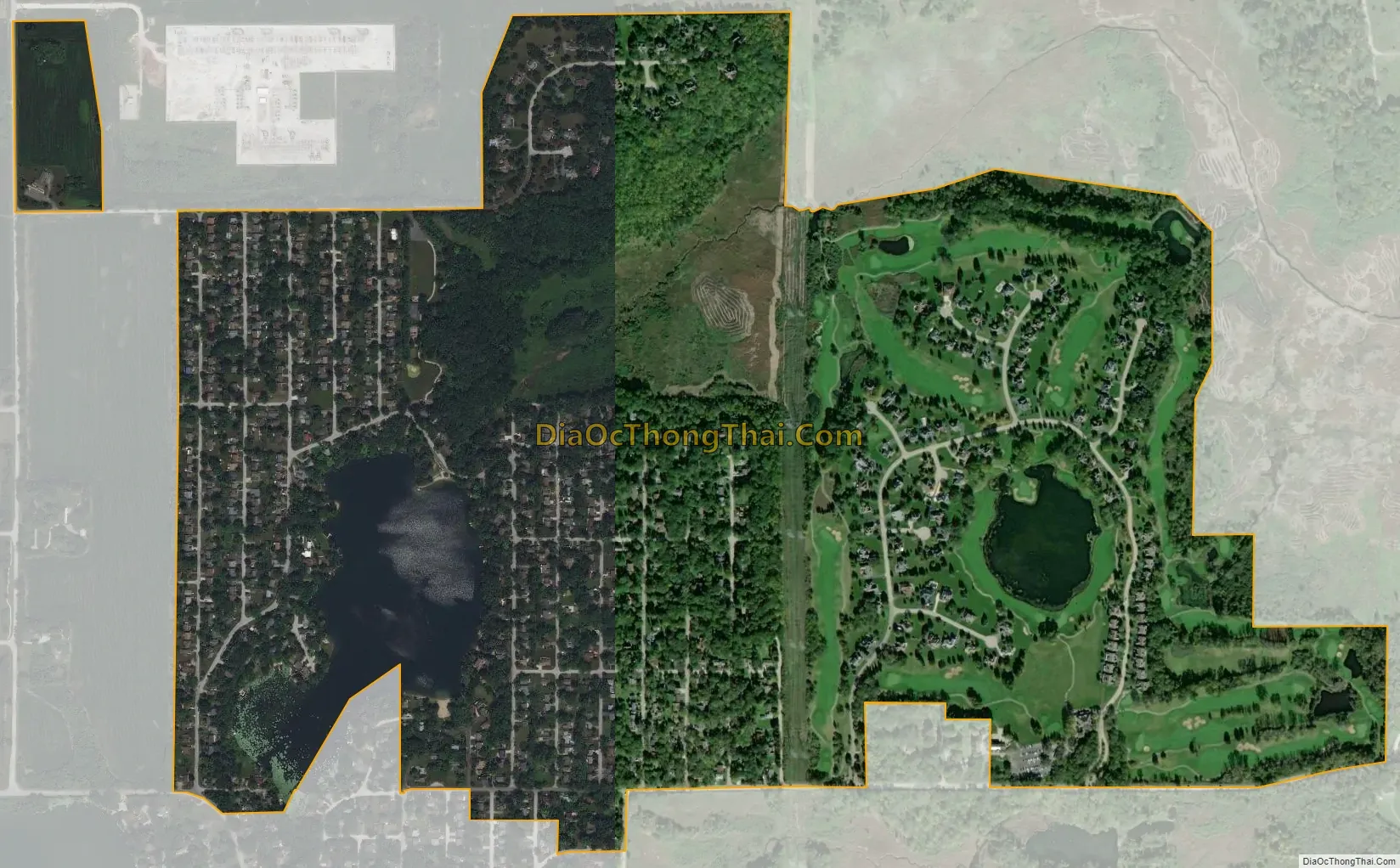
Oakwood Hills city Satellite Map
Geography
Oakwood Hills is located in southeastern McHenry County at 42°14′52″N 88°14′43″W / 42.24778°N 88.24528°W / 42.24778; -88.24528 (42.247658, -88.245176). It is southeast of Prairie Grove, east of Crystal Lake, and north of Cary. The Fox River passes 1 mile (1.6 km) to the east. Downtown Chicago is 46 miles (74 km) to the southeast.
According to the U.S. Census Bureau, Oakwood Hills has a total area of 1.17 square miles (3.03 km), of which 1.09 square miles (2.82 km) are land and 0.08 square miles (0.21 km), or 7.17%, are water. Silver Lake is in the western part of the village, draining east to the Fox River. The unincorporated community of Silver Lake borders Oakwood Hills to the south.
See also
Map of Illinois State and its subdivision:- Adams
- Alexander
- Bond
- Boone
- Brown
- Bureau
- Calhoun
- Carroll
- Cass
- Champaign
- Christian
- Clark
- Clay
- Clinton
- Coles
- Cook
- Crawford
- Cumberland
- De Kalb
- De Witt
- Douglas
- Dupage
- Edgar
- Edwards
- Effingham
- Fayette
- Ford
- Franklin
- Fulton
- Gallatin
- Greene
- Grundy
- Hamilton
- Hancock
- Hardin
- Henderson
- Henry
- Iroquois
- Jackson
- Jasper
- Jefferson
- Jersey
- Jo Daviess
- Johnson
- Kane
- Kankakee
- Kendall
- Knox
- La Salle
- Lake
- Lake Michigan
- Lawrence
- Lee
- Livingston
- Logan
- Macon
- Macoupin
- Madison
- Marion
- Marshall
- Mason
- Massac
- McDonough
- McHenry
- McLean
- Menard
- Mercer
- Monroe
- Montgomery
- Morgan
- Moultrie
- Ogle
- Peoria
- Perry
- Piatt
- Pike
- Pope
- Pulaski
- Putnam
- Randolph
- Richland
- Rock Island
- Saint Clair
- Saline
- Sangamon
- Schuyler
- Scott
- Shelby
- Stark
- Stephenson
- Tazewell
- Union
- Vermilion
- Wabash
- Warren
- Washington
- Wayne
- White
- Whiteside
- Will
- Williamson
- Winnebago
- Woodford
- Alabama
- Alaska
- Arizona
- Arkansas
- California
- Colorado
- Connecticut
- Delaware
- District of Columbia
- Florida
- Georgia
- Hawaii
- Idaho
- Illinois
- Indiana
- Iowa
- Kansas
- Kentucky
- Louisiana
- Maine
- Maryland
- Massachusetts
- Michigan
- Minnesota
- Mississippi
- Missouri
- Montana
- Nebraska
- Nevada
- New Hampshire
- New Jersey
- New Mexico
- New York
- North Carolina
- North Dakota
- Ohio
- Oklahoma
- Oregon
- Pennsylvania
- Rhode Island
- South Carolina
- South Dakota
- Tennessee
- Texas
- Utah
- Vermont
- Virginia
- Washington
- West Virginia
- Wisconsin
- Wyoming