Olympia Fields is a village and a south suburb of Chicago in Cook County, Illinois, United States. The population was 4,718 as of the 2020 census. The municipality grew up around the prestigious Olympia Fields Country Club, originally established in 1915.
Olympia Fields is noteworthy as one of the wealthiest and best educated, majority African-American communities in the United States. The village’s zip code (60461) is one of three majority African American communities which rank among the top five percent in the U.S. for median household income and share of adults with college degrees, and Olympia Fields also has the highest black homeownership rate in the country among majority-black municipalities.
| Name: | Olympia Fields village |
|---|---|
| LSAD Code: | 47 |
| LSAD Description: | village (suffix) |
| State: | Illinois |
| County: | Cook County |
| Founded: | 1927 |
| Total Area: | 2.94 sq mi (7.62 km²) |
| Land Area: | 2.94 sq mi (7.61 km²) |
| Water Area: | 0.00 sq mi (0.01 km²) |
| Total Population: | 4,718 |
| Population Density: | 1,605.31/sq mi (619.90/km²) |
| Area code: | 708 |
| FIPS code: | 1755938 |
| Website: | www.olympia-fields.com |
Online Interactive Map
Click on ![]() to view map in "full screen" mode.
to view map in "full screen" mode.
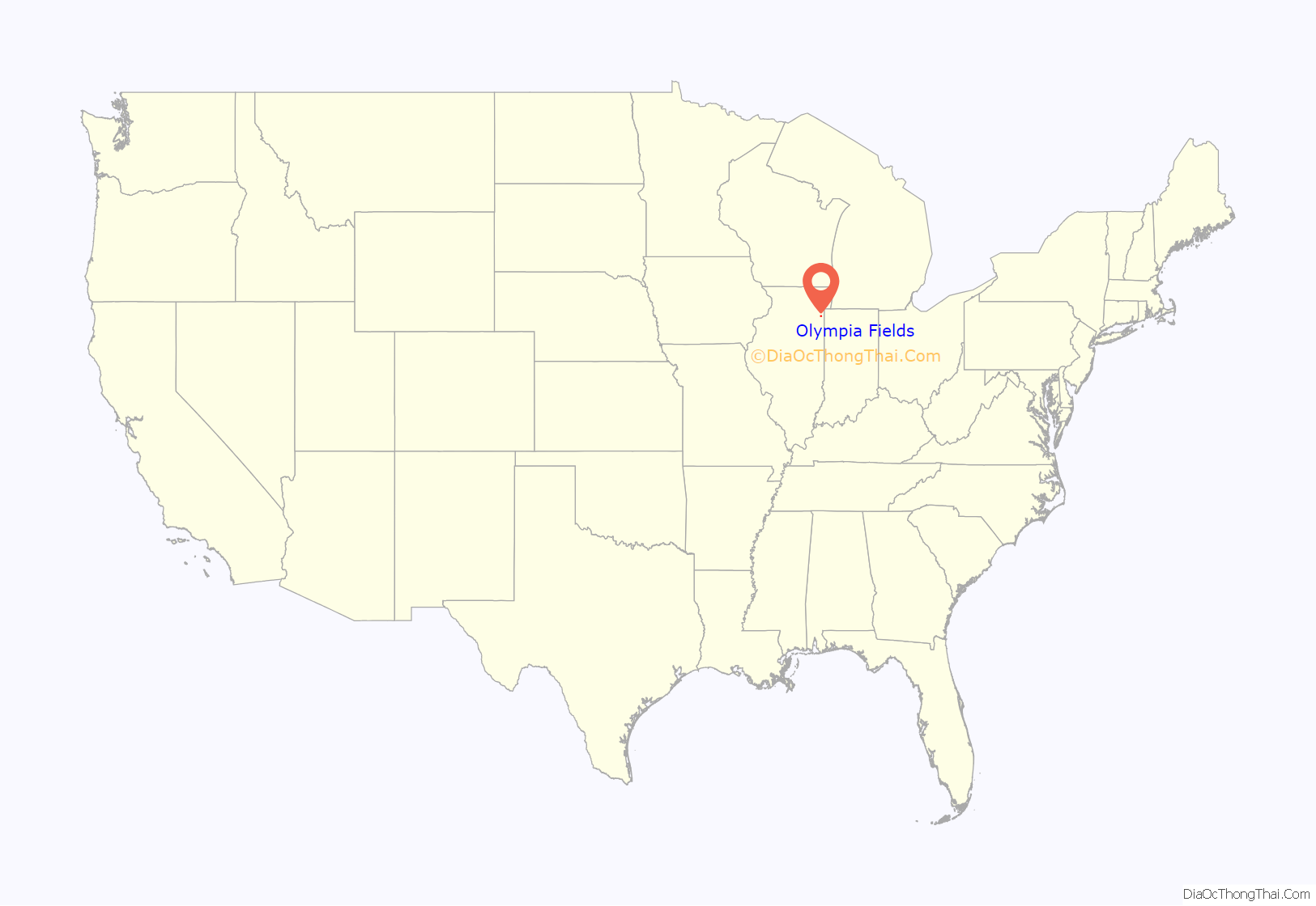
Olympia Fields location map. Where is Olympia Fields village?
History
The area that comprises the village today was once farmland managed by immigrant families during the 1830s. The Illinois Central Railroad began serving the area in the 1850s, which fostered population and economic growth during that era.
In 1893, the Columbian Exposition opened in Chicago, and southern Cook County became an increasingly popular retreat for busy Chicagoans. By 1913, the area’s lush woodlands and rolling terrain convinced a group of investors led by Charles Beach to establish a golf course catering to Chicago’s wealthy elite. Beach and his friend James Gardner developed a magnificent 72-hole golf course and country club, chartered in 1915 as Olympia Fields Country Club. Amos Alonzo Stagg, the famed football coach of the University of Chicago, became the Club’s first president. The name “Olympia” was proposed by Stagg. The word “Fields” was added because it aptly described the young community’s pastoral terrain.
In the early 20th century, golf and the resort atmosphere in the area south of Chicago because so popular that some families lived in canvas-covered “cottages” during the summer months, while others built more permanent homes on the western side of the railroad tracks beginning as early as 1919. The clubhouse, built in 1924, is on the National Register of Historic Places. The golf course is considered one of the finest in the nation. It was home to the 1928 and 2003 U.S. Open, the 1925 and 1961 PGA Championship, the 1997 U.S. Senior Open, the 1927, 1933 and 1968 Western Open, the 2015 U.S. Amateur Championship, the 2017 Women’s PGA Championship and the 2020 BMW Championship.
The country club’s founder, Charles Beach, organized the effort to incorporate the residential areas around the Country Club as a municipality, and in 1927, the Village of Olympia Fields was created with Beach as its first president. His home, built to reflect the design and character of the Country Club, still stands at the southwest corner of Kedzie Avenue and 203rd Street. Today, the grounds of the Country Club remain unincorporated, outside the jurisdiction of the Olympia Fields village government.
Olympia Fields has received the Tree City USA award for many years of having demonstrated a commitment to caring for and managing the village’s public trees.
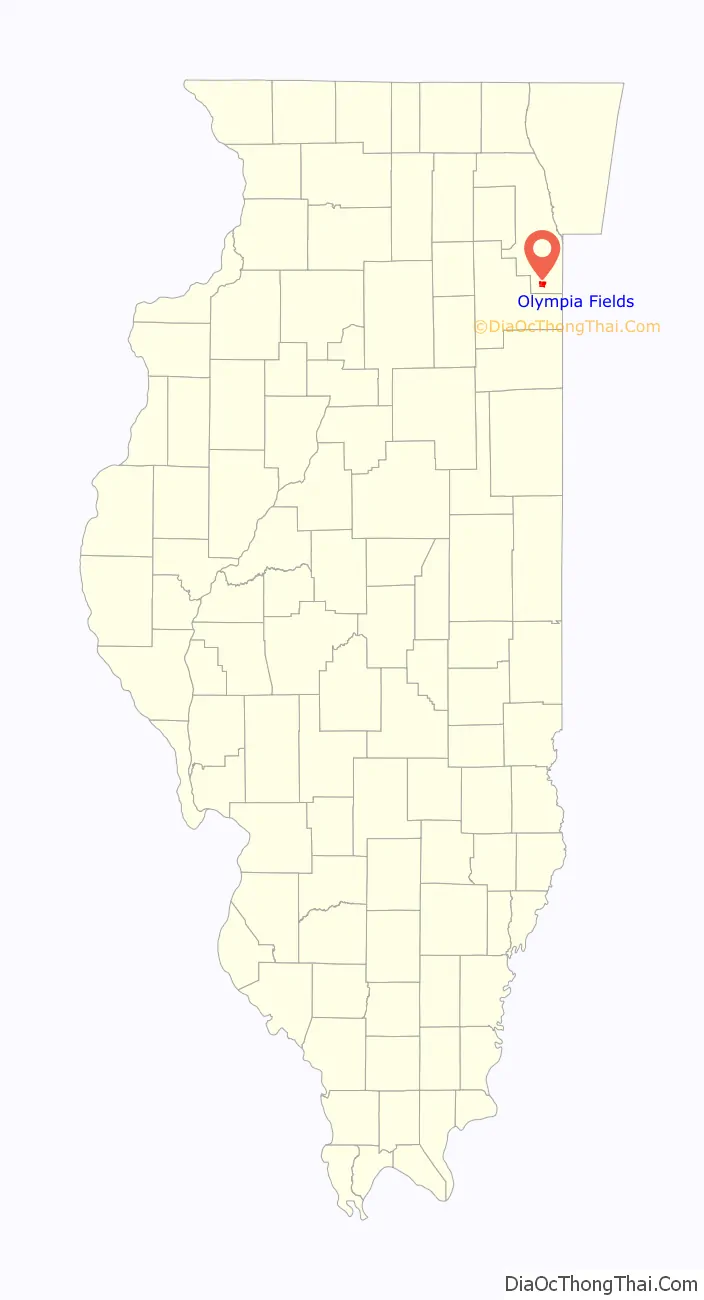
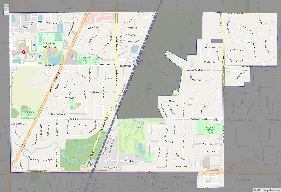
Olympia Fields Road Map
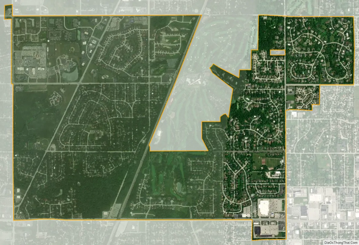
Olympia Fields city Satellite Map
Geography
Olympia Fields is located at 41°31′6″N 87°41′34″W / 41.51833°N 87.69278°W / 41.51833; -87.69278 (41.518290, -87.692744).
According to the 2021 census gazetteer files, Olympia Fields has a total area of 2.94 square miles (7.61 km), of which 2.94 square miles (7.61 km) (or 99.86%) is land and 0.00 square miles (0.00 km) (or 0.14%) is water.
See also
Map of Illinois State and its subdivision:- Adams
- Alexander
- Bond
- Boone
- Brown
- Bureau
- Calhoun
- Carroll
- Cass
- Champaign
- Christian
- Clark
- Clay
- Clinton
- Coles
- Cook
- Crawford
- Cumberland
- De Kalb
- De Witt
- Douglas
- Dupage
- Edgar
- Edwards
- Effingham
- Fayette
- Ford
- Franklin
- Fulton
- Gallatin
- Greene
- Grundy
- Hamilton
- Hancock
- Hardin
- Henderson
- Henry
- Iroquois
- Jackson
- Jasper
- Jefferson
- Jersey
- Jo Daviess
- Johnson
- Kane
- Kankakee
- Kendall
- Knox
- La Salle
- Lake
- Lake Michigan
- Lawrence
- Lee
- Livingston
- Logan
- Macon
- Macoupin
- Madison
- Marion
- Marshall
- Mason
- Massac
- McDonough
- McHenry
- McLean
- Menard
- Mercer
- Monroe
- Montgomery
- Morgan
- Moultrie
- Ogle
- Peoria
- Perry
- Piatt
- Pike
- Pope
- Pulaski
- Putnam
- Randolph
- Richland
- Rock Island
- Saint Clair
- Saline
- Sangamon
- Schuyler
- Scott
- Shelby
- Stark
- Stephenson
- Tazewell
- Union
- Vermilion
- Wabash
- Warren
- Washington
- Wayne
- White
- Whiteside
- Will
- Williamson
- Winnebago
- Woodford
- Alabama
- Alaska
- Arizona
- Arkansas
- California
- Colorado
- Connecticut
- Delaware
- District of Columbia
- Florida
- Georgia
- Hawaii
- Idaho
- Illinois
- Indiana
- Iowa
- Kansas
- Kentucky
- Louisiana
- Maine
- Maryland
- Massachusetts
- Michigan
- Minnesota
- Mississippi
- Missouri
- Montana
- Nebraska
- Nevada
- New Hampshire
- New Jersey
- New Mexico
- New York
- North Carolina
- North Dakota
- Ohio
- Oklahoma
- Oregon
- Pennsylvania
- Rhode Island
- South Carolina
- South Dakota
- Tennessee
- Texas
- Utah
- Vermont
- Virginia
- Washington
- West Virginia
- Wisconsin
- Wyoming


