Onarga is a village in Onarga Township, Iroquois County, Illinois, United States. The population was 1,368 at the 2010 census, down from 1,438 at the 2000 census.
| Name: | Onarga village |
|---|---|
| LSAD Code: | 47 |
| LSAD Description: | village (suffix) |
| State: | Illinois |
| County: | Iroquois County |
| Founded: | 1854 |
| Elevation: | 669 ft (204 m) |
| Total Area: | 1.67 sq mi (4.33 km²) |
| Land Area: | 1.67 sq mi (4.33 km²) |
| Water Area: | 0.00 sq mi (0.00 km²) |
| Total Population: | 1,333 |
| Population Density: | 796.30/sq mi (307.50/km²) |
| ZIP code: | 60955 |
| Area code: | 815 |
| FIPS code: | 1756081 |
| Website: | villageofonarga.com |
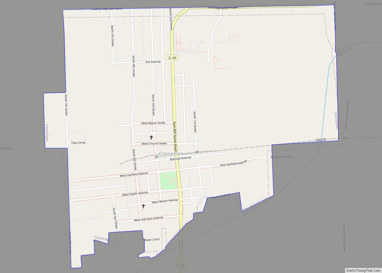
Online Interactive Map
Click on ![]() to view map in "full screen" mode.
to view map in "full screen" mode.
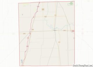
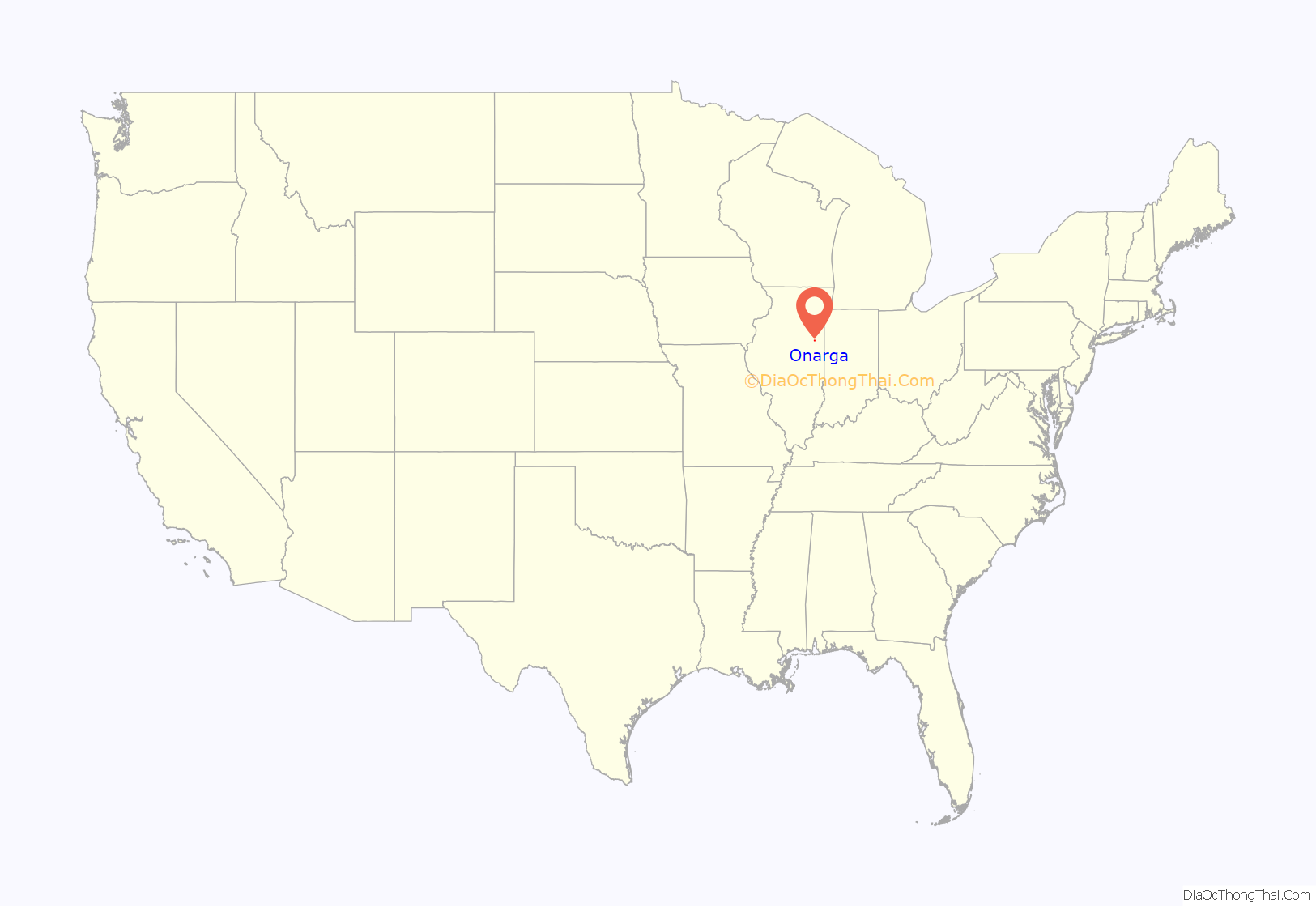
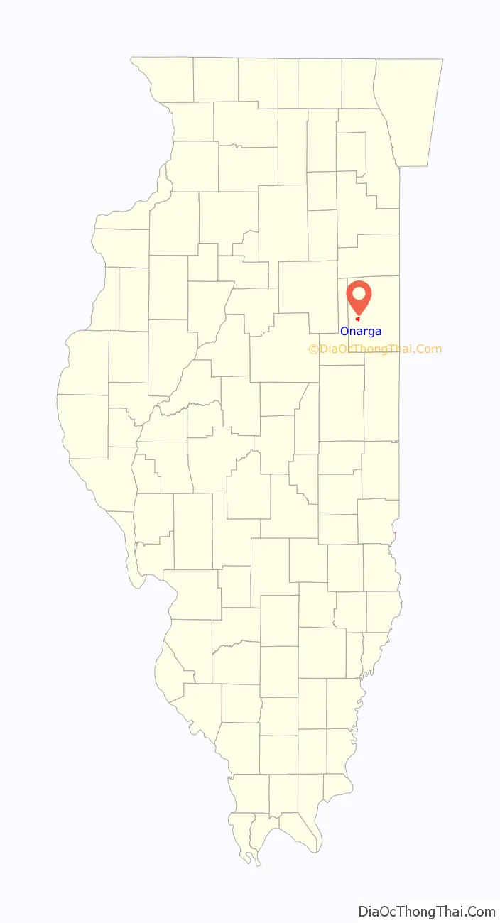
Onarga location map. Where is Onarga village?
History
Onarga was originally laid out in the mid-19th century alongside the development of the railroad from Chicago. Because of its close proximity to Spring Creek, Onarga was one of the first settled areas of Iroquois County. The town grew rapidly, but the population began to level off by the mid-20th century and now maintains fairly minimal population growth. Onarga is often associated with its tree and shrub nurseries that have been in business for over 100 years, earning Onarga the nickname, “The Nursery Capital of the Midwest.” Many fields surrounding the town bear rows of trees and bushes rather than corn and soybeans, which are otherwise ubiquitous throughout the region. The prosperous nursery businesses have led to a great amount of ethnic diversity in Onarga, as many Mexican and Mexican-American migrant workers have chosen to maintain roots in the community.
Onarga celebrated its sesquicentennial with a nearly week-long festival in the summer of 2004, which included social events and a strong focus on the history of the community.
Onarga is the final resting place of Civil War spy and Pinkerton detective Timothy Webster. Onarga was also the location of Allan Pinkerton’s weekend estate, The Larches.
Onarga Road Map
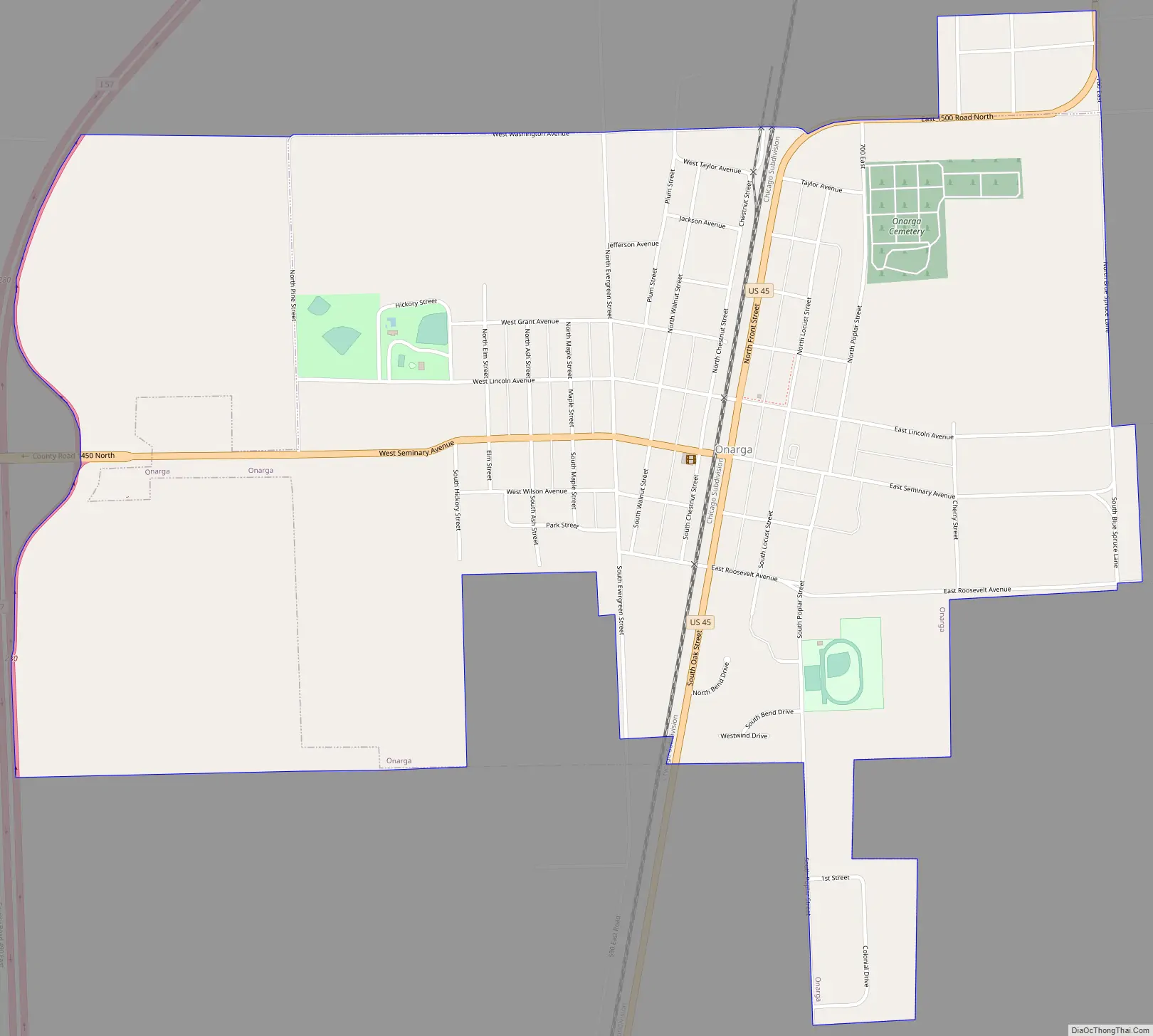
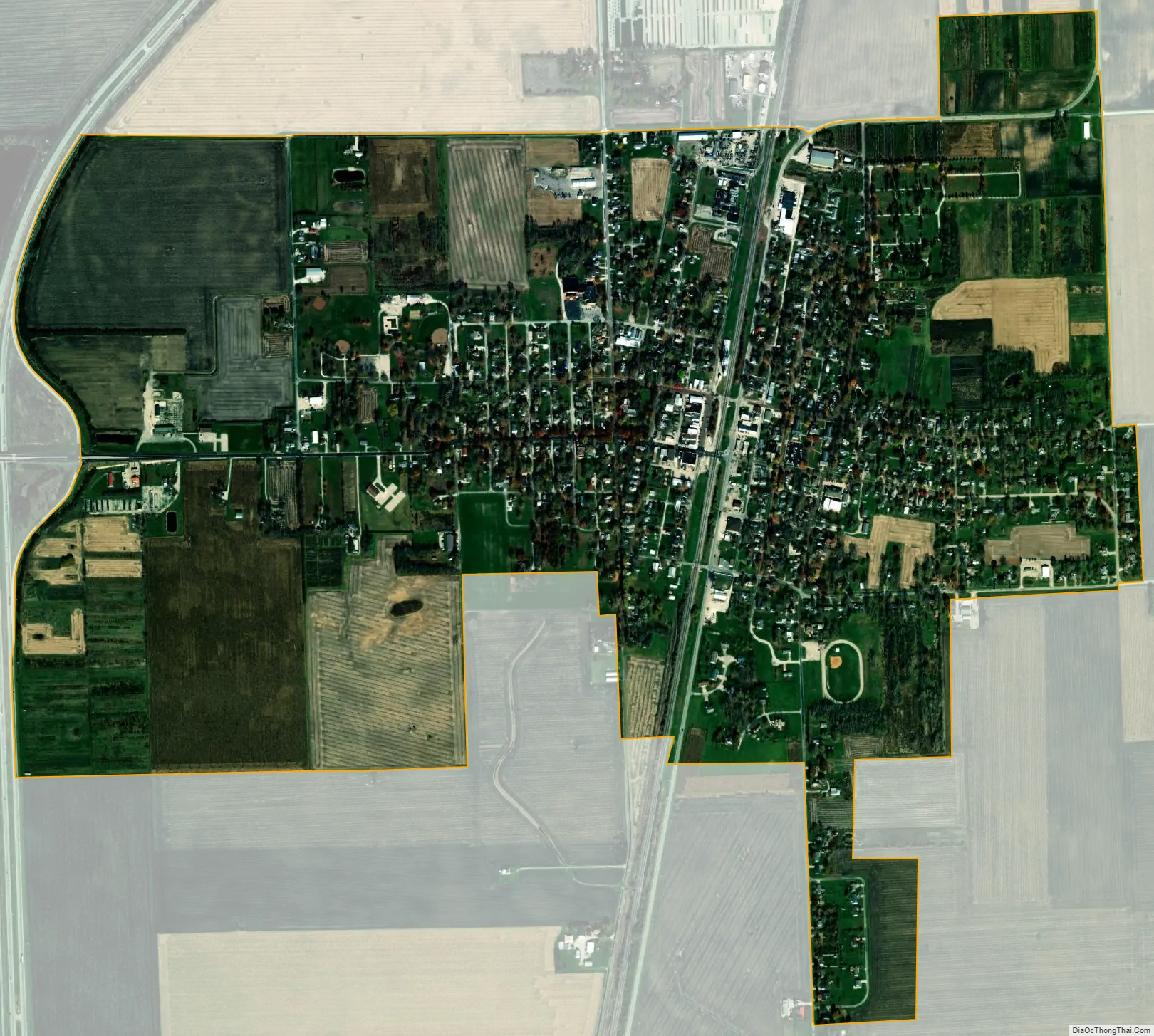
Onarga city Satellite Map
Geography
Onarga is located in western Iroquois County at 40°42′56″N 88°0′25″W / 40.71556°N 88.00694°W / 40.71556; -88.00694 (40.715432, -88.006928). U.S. Route 45 passes through the center of the village, leading north 4 miles (6 km) to Gilman and south 8 miles (13 km) to Buckley. Interstate 57 runs along the western border of the village, with access from Exit 280. I-57 leads north 31 miles (50 km) to Kankakee and south 46 miles (74 km) to Champaign. Chicago is 90 miles (140 km) to the north via I-57.
According to the 2010 census, Onarga has a total area of 1.33 square miles (3.44 km), all land.
Climate
Onarga has a continental climate, with four distinct seasons. Onarga experiences cold winters, with frequent snowfall and temperatures that sometimes plunge to as low as -10 °F to -20 °F. Average late-December to late-February high temperatures average in the mid to upper 30s. Springs are generally mild, and often rainy, windy, and cloudy with high temperatures averaging in the 50s (late-March) to 80s (early-June). Summers are hot and humid, generally with brief periods of intense thunderstorms and rainfall. Average summer high temperatures are in the mid to upper 80s, with highs in the lower 90s also common. Falls are crisp and drier with first killing frosts generally arriving in mid to late-October. Onarga’s typical summer weather is highly conducive to growing corn and soybeans, which dominate the rural landscape. On average, 40.44 inches of precipitation per year fall at Onarga.
See also
Map of Illinois State and its subdivision:- Adams
- Alexander
- Bond
- Boone
- Brown
- Bureau
- Calhoun
- Carroll
- Cass
- Champaign
- Christian
- Clark
- Clay
- Clinton
- Coles
- Cook
- Crawford
- Cumberland
- De Kalb
- De Witt
- Douglas
- Dupage
- Edgar
- Edwards
- Effingham
- Fayette
- Ford
- Franklin
- Fulton
- Gallatin
- Greene
- Grundy
- Hamilton
- Hancock
- Hardin
- Henderson
- Henry
- Iroquois
- Jackson
- Jasper
- Jefferson
- Jersey
- Jo Daviess
- Johnson
- Kane
- Kankakee
- Kendall
- Knox
- La Salle
- Lake
- Lake Michigan
- Lawrence
- Lee
- Livingston
- Logan
- Macon
- Macoupin
- Madison
- Marion
- Marshall
- Mason
- Massac
- McDonough
- McHenry
- McLean
- Menard
- Mercer
- Monroe
- Montgomery
- Morgan
- Moultrie
- Ogle
- Peoria
- Perry
- Piatt
- Pike
- Pope
- Pulaski
- Putnam
- Randolph
- Richland
- Rock Island
- Saint Clair
- Saline
- Sangamon
- Schuyler
- Scott
- Shelby
- Stark
- Stephenson
- Tazewell
- Union
- Vermilion
- Wabash
- Warren
- Washington
- Wayne
- White
- Whiteside
- Will
- Williamson
- Winnebago
- Woodford
- Alabama
- Alaska
- Arizona
- Arkansas
- California
- Colorado
- Connecticut
- Delaware
- District of Columbia
- Florida
- Georgia
- Hawaii
- Idaho
- Illinois
- Indiana
- Iowa
- Kansas
- Kentucky
- Louisiana
- Maine
- Maryland
- Massachusetts
- Michigan
- Minnesota
- Mississippi
- Missouri
- Montana
- Nebraska
- Nevada
- New Hampshire
- New Jersey
- New Mexico
- New York
- North Carolina
- North Dakota
- Ohio
- Oklahoma
- Oregon
- Pennsylvania
- Rhode Island
- South Carolina
- South Dakota
- Tennessee
- Texas
- Utah
- Vermont
- Virginia
- Washington
- West Virginia
- Wisconsin
- Wyoming