Patoka is a village in Marion County, Illinois, United States. The population was 525 at the 2020 census.
| Name: | Patoka village |
|---|---|
| LSAD Code: | 47 |
| LSAD Description: | village (suffix) |
| State: | Illinois |
| County: | Marion County |
| Elevation: | 505 ft (154 m) |
| Total Area: | 1.11 sq mi (2.89 km²) |
| Land Area: | 1.11 sq mi (2.89 km²) |
| Water Area: | 0.00 sq mi (0.00 km²) |
| Total Population: | 525 |
| Population Density: | 470.85/sq mi (181.83/km²) |
| ZIP code: | 62875 |
| Area code: | 618 |
| FIPS code: | 1758057 |
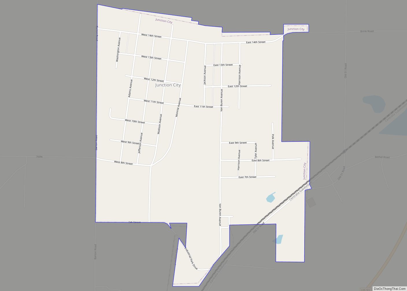
Online Interactive Map
Click on ![]() to view map in "full screen" mode.
to view map in "full screen" mode.
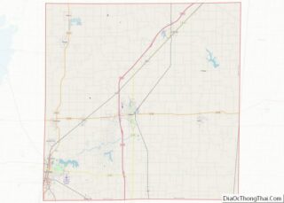
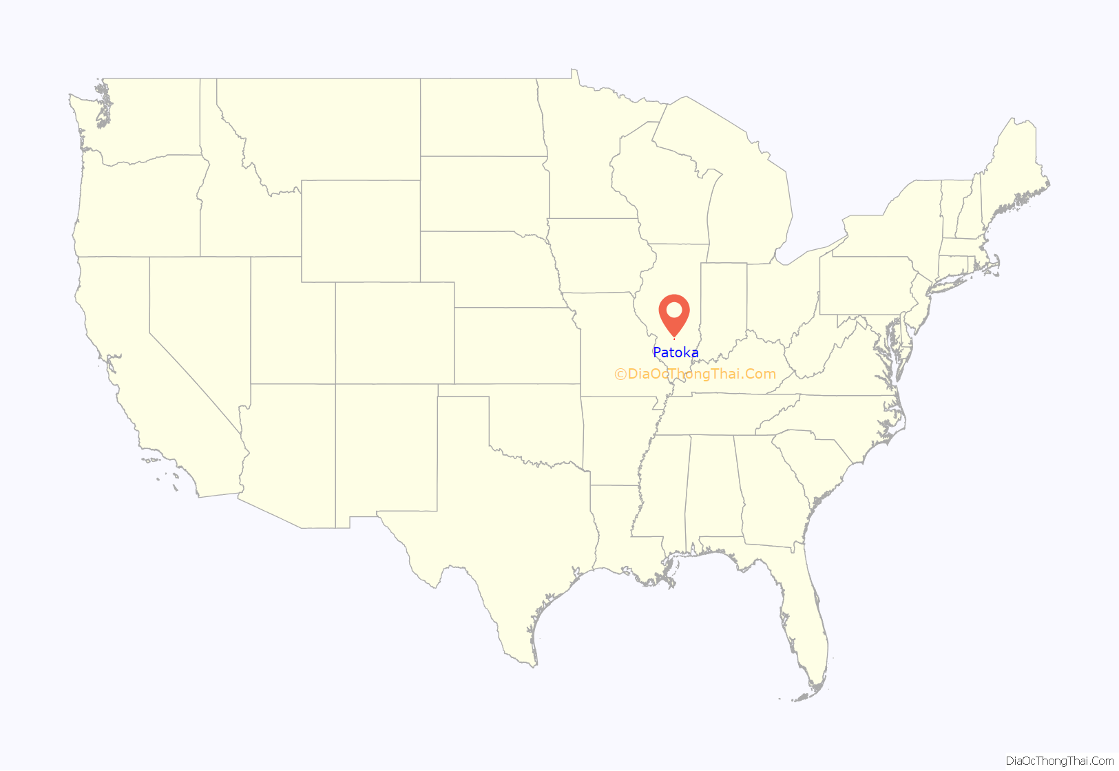
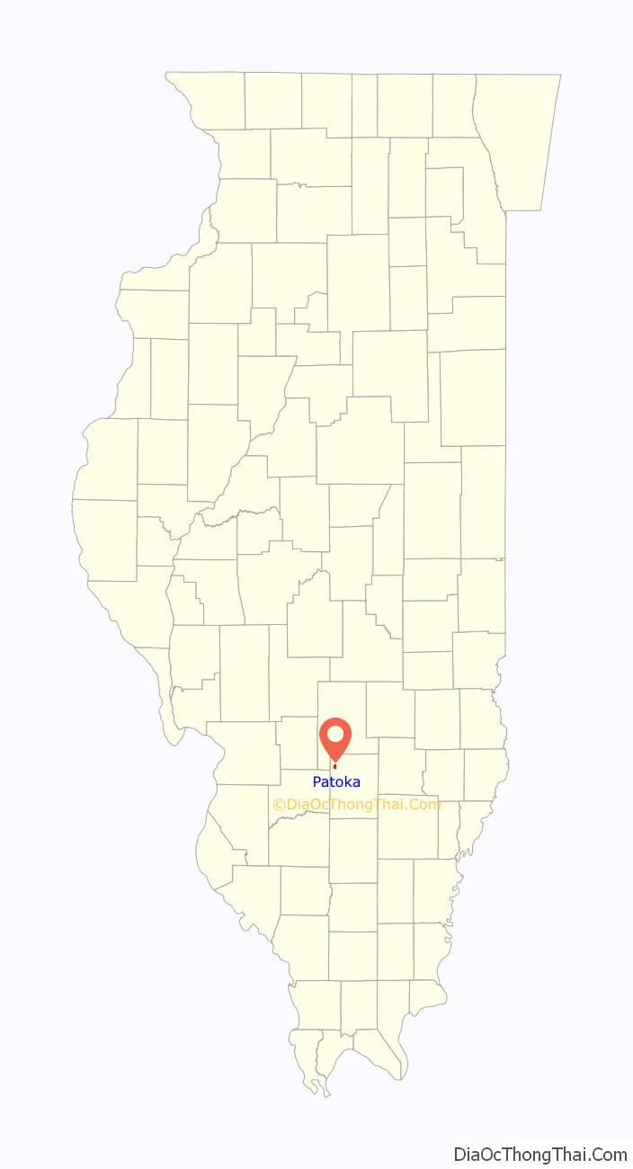
Patoka location map. Where is Patoka village?
History
The village was named after a local Native American chieftain.
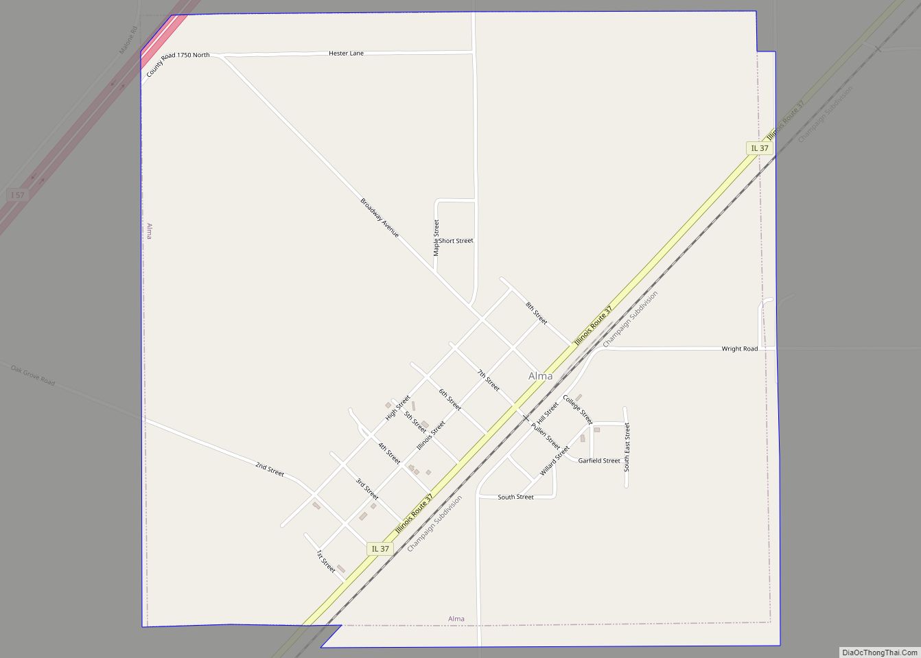
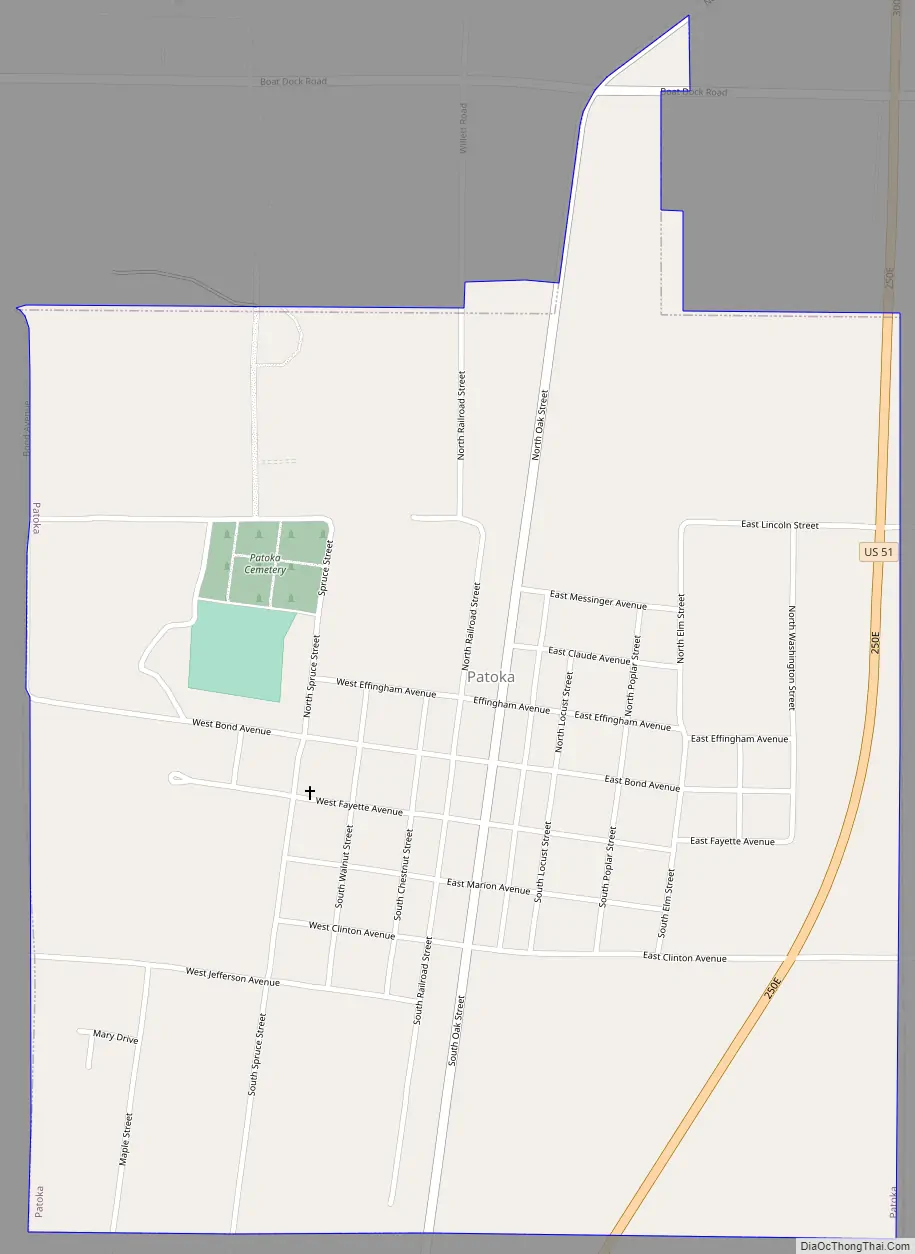
Patoka Road Map
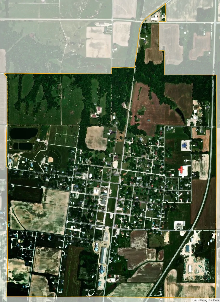
Patoka city Satellite Map
Geography
Patoka is located in northwestern Marion County at 38°45′12″N 89°5′44″W / 38.75333°N 89.09556°W / 38.75333; -89.09556 (38.753362, -89.095524). U.S. Route 51 passes through the east side of the village, leading north 15 miles (24 km) to Vandalia and south 10 miles (16 km) to Sandoval. Salem, the Marion county seat, is 16 miles (26 km) to the southeast.
According to the U.S. Census Bureau, Patoka has a total area of 1.12 square miles (2.90 km), all land. The village is drained to the west by tributaries of the North Fork, which joins the Kaskaskia River in Carlyle Lake 7 miles (11 km) west of the village.
See also
Map of Illinois State and its subdivision:- Adams
- Alexander
- Bond
- Boone
- Brown
- Bureau
- Calhoun
- Carroll
- Cass
- Champaign
- Christian
- Clark
- Clay
- Clinton
- Coles
- Cook
- Crawford
- Cumberland
- De Kalb
- De Witt
- Douglas
- Dupage
- Edgar
- Edwards
- Effingham
- Fayette
- Ford
- Franklin
- Fulton
- Gallatin
- Greene
- Grundy
- Hamilton
- Hancock
- Hardin
- Henderson
- Henry
- Iroquois
- Jackson
- Jasper
- Jefferson
- Jersey
- Jo Daviess
- Johnson
- Kane
- Kankakee
- Kendall
- Knox
- La Salle
- Lake
- Lake Michigan
- Lawrence
- Lee
- Livingston
- Logan
- Macon
- Macoupin
- Madison
- Marion
- Marshall
- Mason
- Massac
- McDonough
- McHenry
- McLean
- Menard
- Mercer
- Monroe
- Montgomery
- Morgan
- Moultrie
- Ogle
- Peoria
- Perry
- Piatt
- Pike
- Pope
- Pulaski
- Putnam
- Randolph
- Richland
- Rock Island
- Saint Clair
- Saline
- Sangamon
- Schuyler
- Scott
- Shelby
- Stark
- Stephenson
- Tazewell
- Union
- Vermilion
- Wabash
- Warren
- Washington
- Wayne
- White
- Whiteside
- Will
- Williamson
- Winnebago
- Woodford
- Alabama
- Alaska
- Arizona
- Arkansas
- California
- Colorado
- Connecticut
- Delaware
- District of Columbia
- Florida
- Georgia
- Hawaii
- Idaho
- Illinois
- Indiana
- Iowa
- Kansas
- Kentucky
- Louisiana
- Maine
- Maryland
- Massachusetts
- Michigan
- Minnesota
- Mississippi
- Missouri
- Montana
- Nebraska
- Nevada
- New Hampshire
- New Jersey
- New Mexico
- New York
- North Carolina
- North Dakota
- Ohio
- Oklahoma
- Oregon
- Pennsylvania
- Rhode Island
- South Carolina
- South Dakota
- Tennessee
- Texas
- Utah
- Vermont
- Virginia
- Washington
- West Virginia
- Wisconsin
- Wyoming