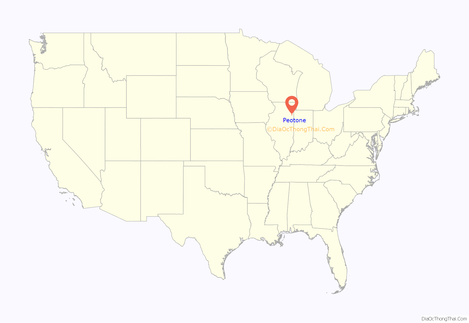
Peotone (/ˈpiːoʊtoʊn/) is a village in Will County, Illinois, United States. The population was 4,142 at the 2010 census, an increase from 3,385 in 2000. The city is about 43 miles (69 km) south of Chicago. The village is home to the Peotone High School Blue Devils.
| Name: | Peotone village |
|---|---|
| LSAD Code: | 47 |
| LSAD Description: | village (suffix) |
| State: | Illinois |
| County: | Will County |
| Total Area: | 2.03 sq mi (5.25 km²) |
| Land Area: | 2.00 sq mi (5.18 km²) |
| Water Area: | 0.03 sq mi (0.07 km²) |
| Total Population: | 4,150 |
| Population Density: | 2,073.96/sq mi (800.74/km²) |
| Area code: | 708 |
| FIPS code: | 1759052 |
| Website: | villageofpeotone.com |
Online Interactive Map
Click on ![]() to view map in "full screen" mode.
to view map in "full screen" mode.
Peotone location map. Where is Peotone village?
History
Peotone is a name derived from the Potawatomi language meaning ‘come here’.
Registered historic places
- Downtown Peotone Historic District
- Peotone Mill
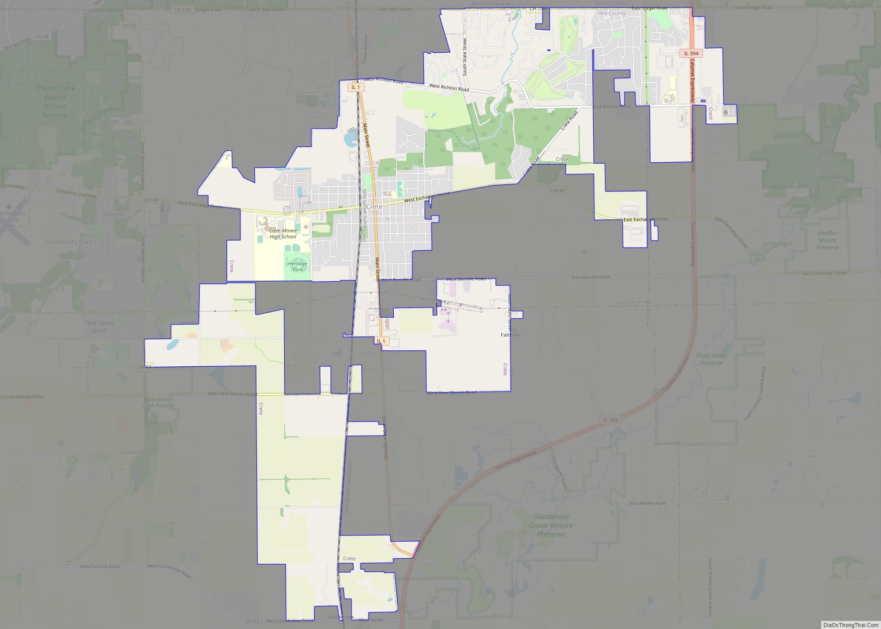
Peotone Road Map
Peotone city Satellite Map
Geography
Peotone is located at 41°19′46″N 87°47′42″W / 41.32944°N 87.79500°W / 41.32944; -87.79500 (41.329445, -87.795138).
According to the 2010 census, Peotone has a total area of 1.873 square miles (4.85 km), of which 1.87 square miles (4.84 km) (or 99.84%) is land and 0.003 square miles (0.01 km) (or 0.16%) is water.
Main roads are Illinois Route 50, Interstate 57, Wilmington-Peotone Road, Rathje Road, and Joliet Road.
Peotone is about nine miles west of Beecher, six miles north of Manteno, six miles south of Monee and is approximately 20 miles east of Wilmington.
See also
Map of Illinois State and its subdivision:- Adams
- Alexander
- Bond
- Boone
- Brown
- Bureau
- Calhoun
- Carroll
- Cass
- Champaign
- Christian
- Clark
- Clay
- Clinton
- Coles
- Cook
- Crawford
- Cumberland
- De Kalb
- De Witt
- Douglas
- Dupage
- Edgar
- Edwards
- Effingham
- Fayette
- Ford
- Franklin
- Fulton
- Gallatin
- Greene
- Grundy
- Hamilton
- Hancock
- Hardin
- Henderson
- Henry
- Iroquois
- Jackson
- Jasper
- Jefferson
- Jersey
- Jo Daviess
- Johnson
- Kane
- Kankakee
- Kendall
- Knox
- La Salle
- Lake
- Lake Michigan
- Lawrence
- Lee
- Livingston
- Logan
- Macon
- Macoupin
- Madison
- Marion
- Marshall
- Mason
- Massac
- McDonough
- McHenry
- McLean
- Menard
- Mercer
- Monroe
- Montgomery
- Morgan
- Moultrie
- Ogle
- Peoria
- Perry
- Piatt
- Pike
- Pope
- Pulaski
- Putnam
- Randolph
- Richland
- Rock Island
- Saint Clair
- Saline
- Sangamon
- Schuyler
- Scott
- Shelby
- Stark
- Stephenson
- Tazewell
- Union
- Vermilion
- Wabash
- Warren
- Washington
- Wayne
- White
- Whiteside
- Will
- Williamson
- Winnebago
- Woodford
- Alabama
- Alaska
- Arizona
- Arkansas
- California
- Colorado
- Connecticut
- Delaware
- District of Columbia
- Florida
- Georgia
- Hawaii
- Idaho
- Illinois
- Indiana
- Iowa
- Kansas
- Kentucky
- Louisiana
- Maine
- Maryland
- Massachusetts
- Michigan
- Minnesota
- Mississippi
- Missouri
- Montana
- Nebraska
- Nevada
- New Hampshire
- New Jersey
- New Mexico
- New York
- North Carolina
- North Dakota
- Ohio
- Oklahoma
- Oregon
- Pennsylvania
- Rhode Island
- South Carolina
- South Dakota
- Tennessee
- Texas
- Utah
- Vermont
- Virginia
- Washington
- West Virginia
- Wisconsin
- Wyoming
