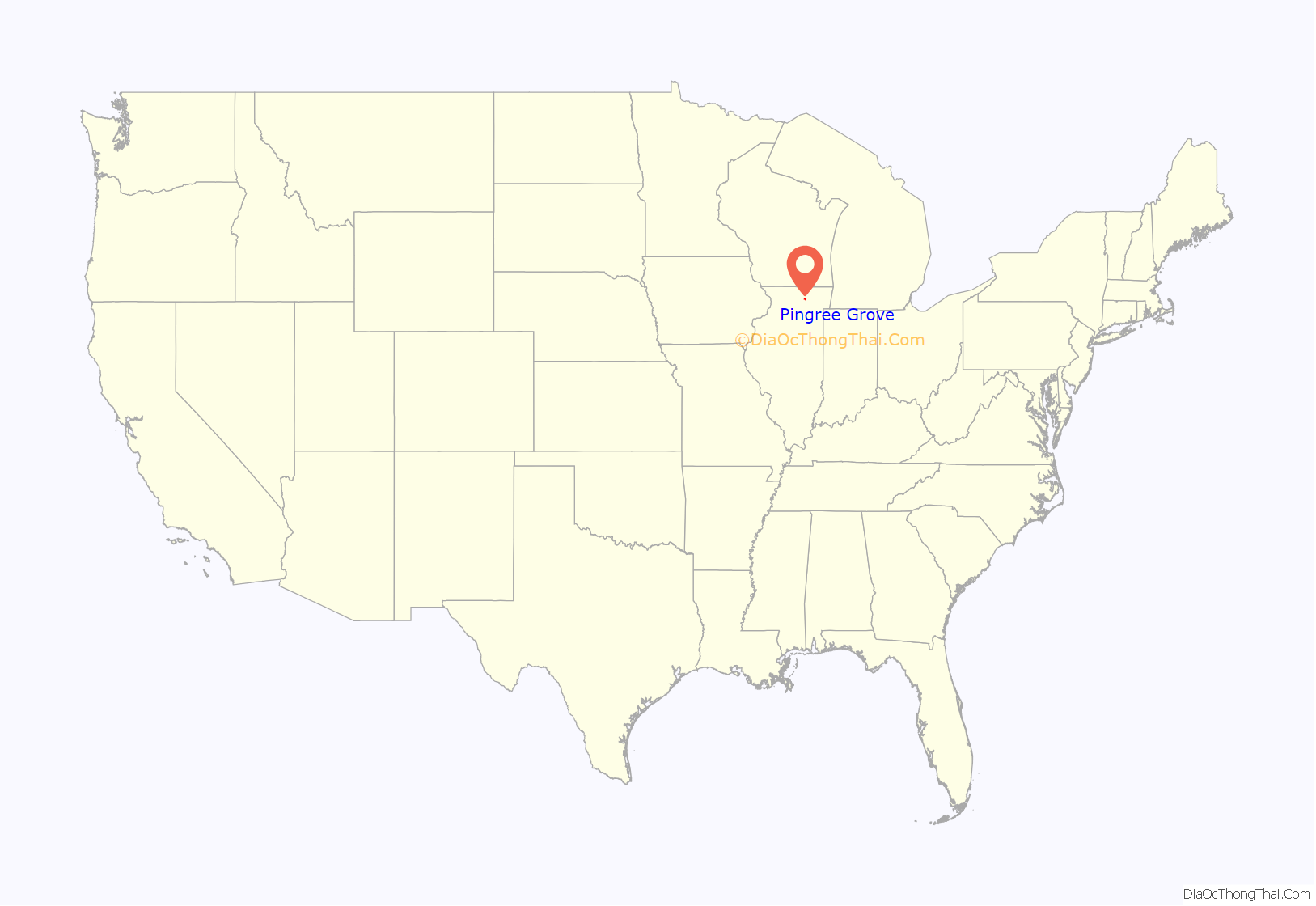
Pingree Grove (/ˈpɪŋɡʌriː/ PING-GREE) is a village in Kane County, Illinois, United States. The population was 124 at the 2000 census. However, with rapid development in the following years, the 2010 census indicated 4,532 residents, and the 2020 census was 10,365.
| Name: | Pingree Grove village |
|---|---|
| LSAD Code: | 47 |
| LSAD Description: | village (suffix) |
| State: | Illinois |
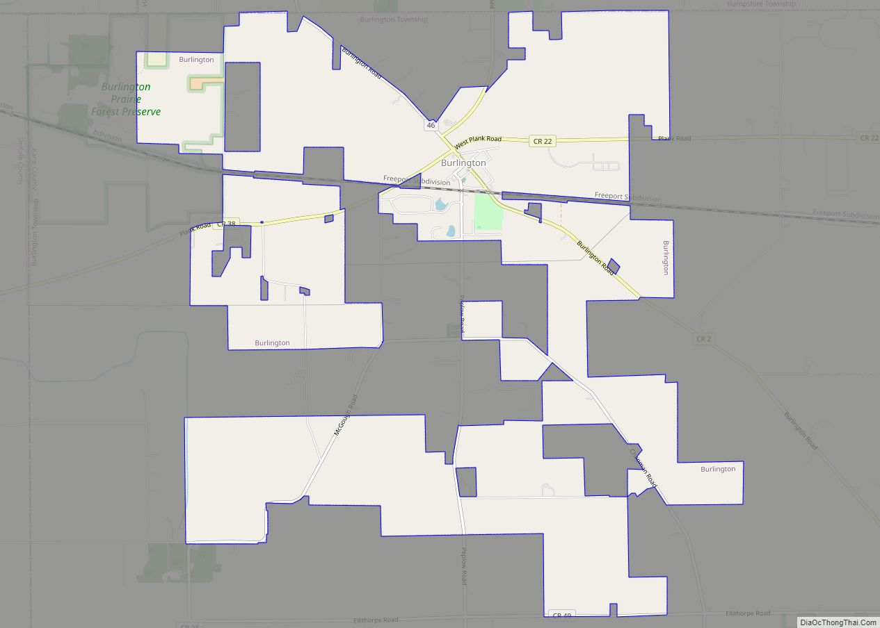
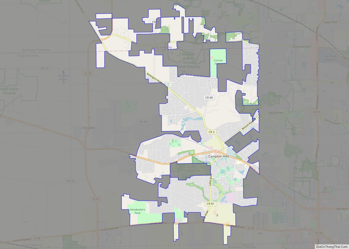
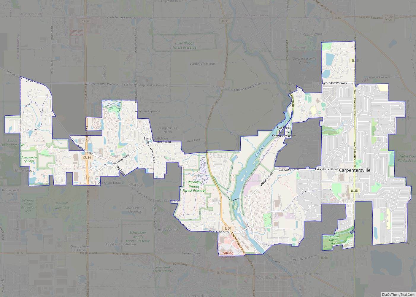
| County: | Kane County |
| Total Area: | 3.64 sq mi (9.42 km²) |
| Land Area: | 3.64 sq mi (9.42 km²) |
| Water Area: | 0.00 sq mi (0.00 km²) |
| Total Population: | 10,365 |
| Population Density: | 2,849.88/sq mi (1,100.20/km²) |
| ZIP code: | 60140, 60166 |
| FIPS code: | 1759988 |
| Website: | www.villageofpingreegrove.org |
Online Interactive Map
Click on ![]() to view map in "full screen" mode.
to view map in "full screen" mode.
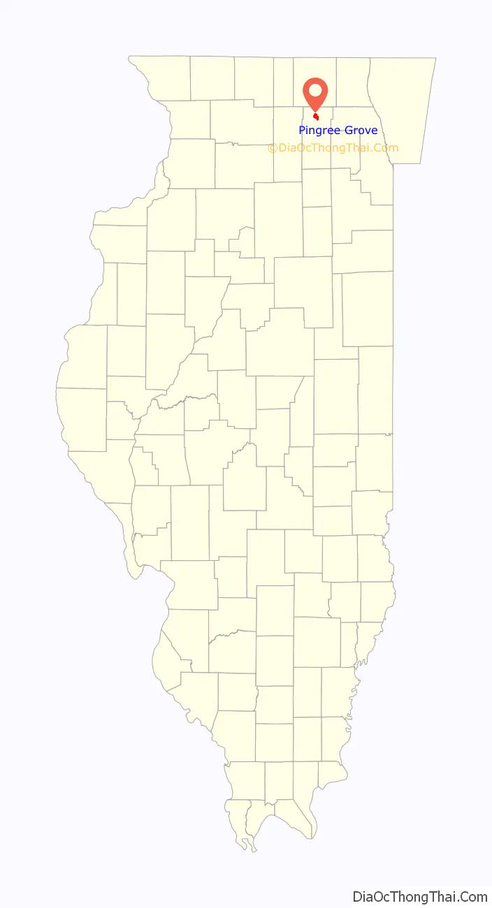
Pingree Grove location map. Where is Pingree Grove village?
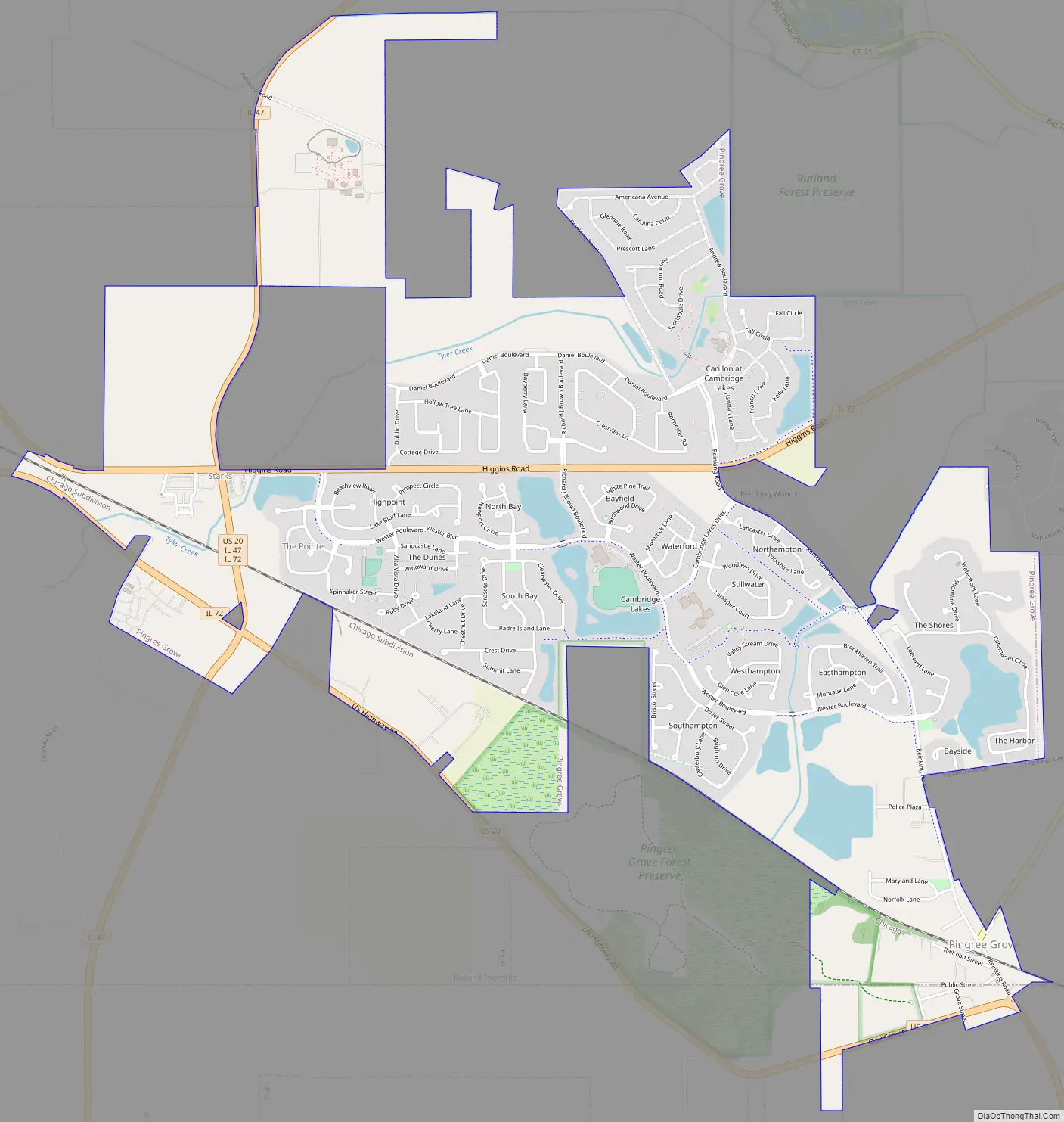
Pingree Grove Road Map
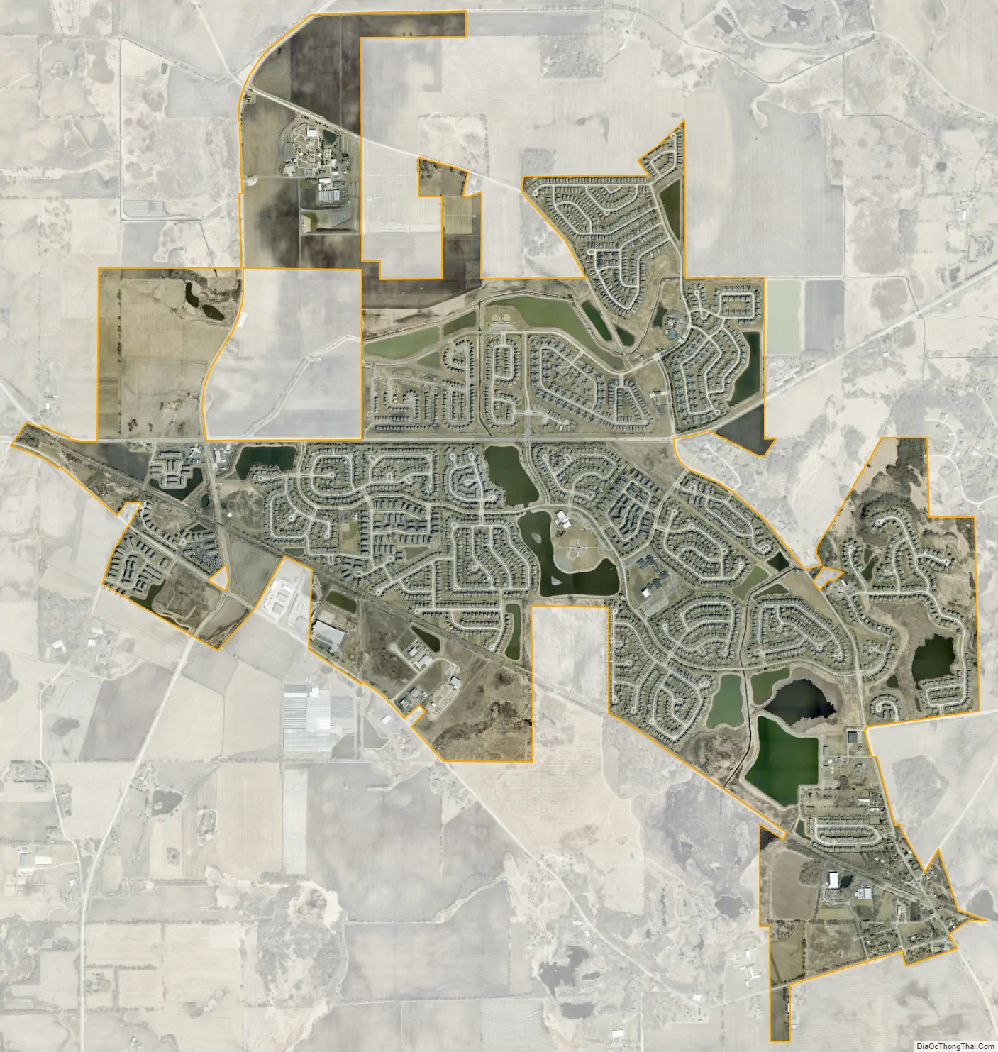
Pingree Grove city Satellite Map
Geography
Pingree Grove is located in northern Kane County. Neighboring communities are Hampshire to the west, Huntley to the north, Gilberts to the northeast, and the city of Elgin to the southeast. U.S. Route 20 passes through the village, leading northwest 17 miles (27 km) to Marengo and southeast 7 miles (11 km) into Elgin. Downtown Chicago is 45 miles (72 km) southeast of Pingree Grove.
According to the 2010 census, the village has a total area of 3.67 square miles (9.51 km), all land.
See also
Map of Illinois State and its subdivision:- Adams
- Alexander
- Bond
- Boone
- Brown
- Bureau
- Calhoun
- Carroll
- Cass
- Champaign
- Christian
- Clark
- Clay
- Clinton
- Coles
- Cook
- Crawford
- Cumberland
- De Kalb
- De Witt
- Douglas
- Dupage
- Edgar
- Edwards
- Effingham
- Fayette
- Ford
- Franklin
- Fulton
- Gallatin
- Greene
- Grundy
- Hamilton
- Hancock
- Hardin
- Henderson
- Henry
- Iroquois
- Jackson
- Jasper
- Jefferson
- Jersey
- Jo Daviess
- Johnson
- Kane
- Kankakee
- Kendall
- Knox
- La Salle
- Lake
- Lake Michigan
- Lawrence
- Lee
- Livingston
- Logan
- Macon
- Macoupin
- Madison
- Marion
- Marshall
- Mason
- Massac
- McDonough
- McHenry
- McLean
- Menard
- Mercer
- Monroe
- Montgomery
- Morgan
- Moultrie
- Ogle
- Peoria
- Perry
- Piatt
- Pike
- Pope
- Pulaski
- Putnam
- Randolph
- Richland
- Rock Island
- Saint Clair
- Saline
- Sangamon
- Schuyler
- Scott
- Shelby
- Stark
- Stephenson
- Tazewell
- Union
- Vermilion
- Wabash
- Warren
- Washington
- Wayne
- White
- Whiteside
- Will
- Williamson
- Winnebago
- Woodford
- Alabama
- Alaska
- Arizona
- Arkansas
- California
- Colorado
- Connecticut
- Delaware
- District of Columbia
- Florida
- Georgia
- Hawaii
- Idaho
- Illinois
- Indiana
- Iowa
- Kansas
- Kentucky
- Louisiana
- Maine
- Maryland
- Massachusetts
- Michigan
- Minnesota
- Mississippi
- Missouri
- Montana
- Nebraska
- Nevada
- New Hampshire
- New Jersey
- New Mexico
- New York
- North Carolina
- North Dakota
- Ohio
- Oklahoma
- Oregon
- Pennsylvania
- Rhode Island
- South Carolina
- South Dakota
- Tennessee
- Texas
- Utah
- Vermont
- Virginia
- Washington
- West Virginia
- Wisconsin
- Wyoming