Pulaski is a village in Pulaski County, Illinois, United States. The population was 235 at the 2010 census. The village is named in honor of Polish Revolutionary War hero Casimir Pulaski.
| Name: | Pulaski village |
|---|---|
| LSAD Code: | 47 |
| LSAD Description: | village (suffix) |
| State: | Illinois |
| County: | Pulaski County |
| Elevation: | 335 ft (102 m) |
| Total Area: | 1.32 sq mi (3.41 km²) |
| Land Area: | 1.31 sq mi (3.39 km²) |
| Water Area: | 0.01 sq mi (0.01 km²) |
| Total Population: | 154 |
| Population Density: | 117.56/sq mi (45.40/km²) |
| Area code: | 618 |
| FIPS code: | 1762211 |
| GNISfeature ID: | 2399029 |
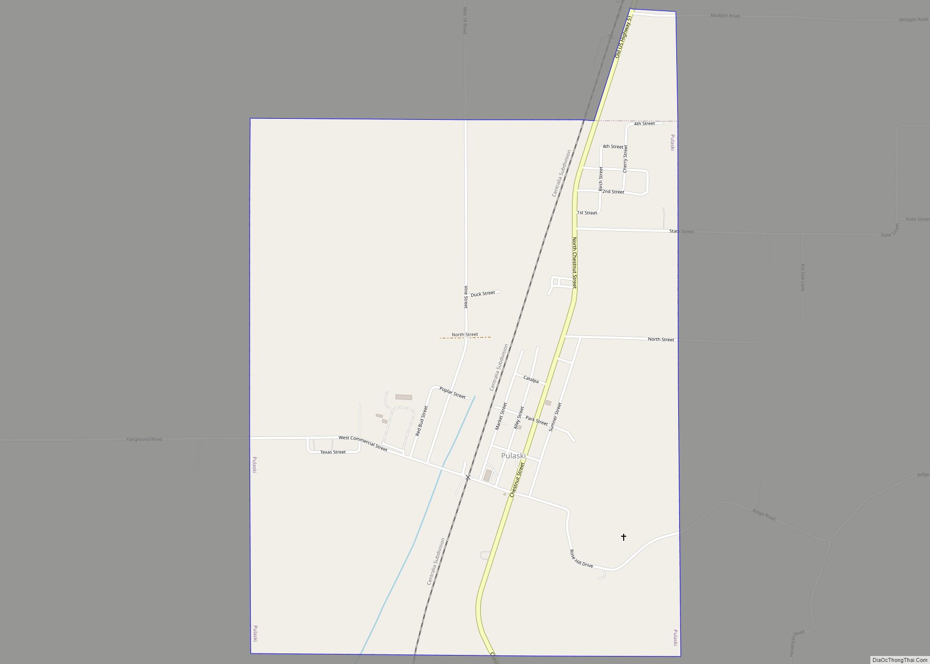
Online Interactive Map
Click on ![]() to view map in "full screen" mode.
to view map in "full screen" mode.
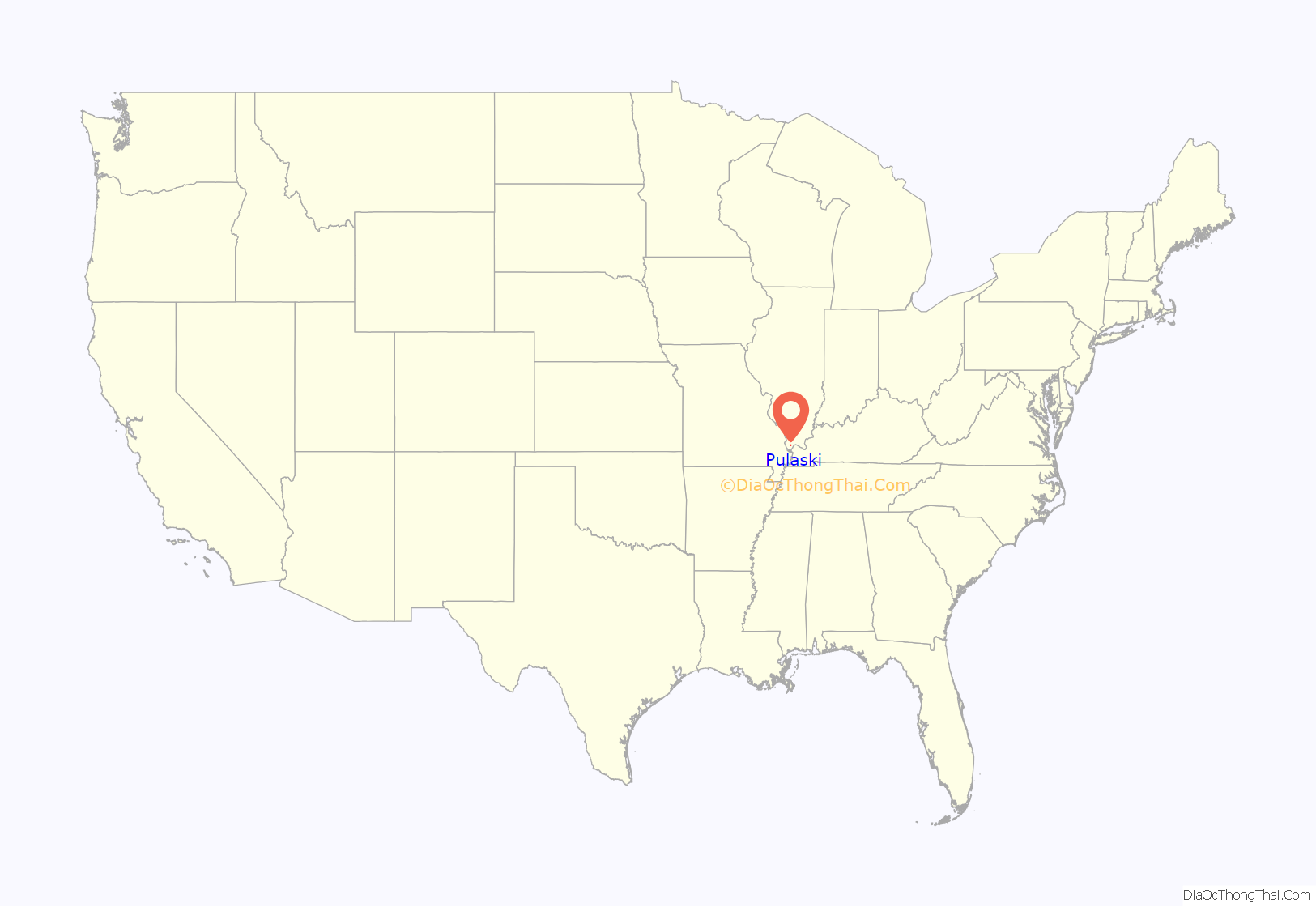
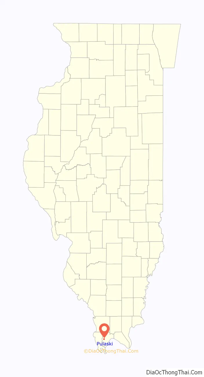
Pulaski location map. Where is Pulaski village?
History
Pulaski was founded in 1852 as a construction camp along the Illinois Central Railroad. A post office was established in 1856. The village was initially known as “Camp Pulaski,” but the “Camp” was dropped from the name in 1872. Pulaski incorporated in 1898.
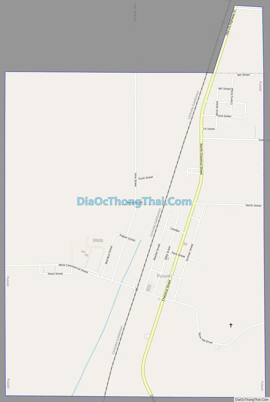
Pulaski Road Map
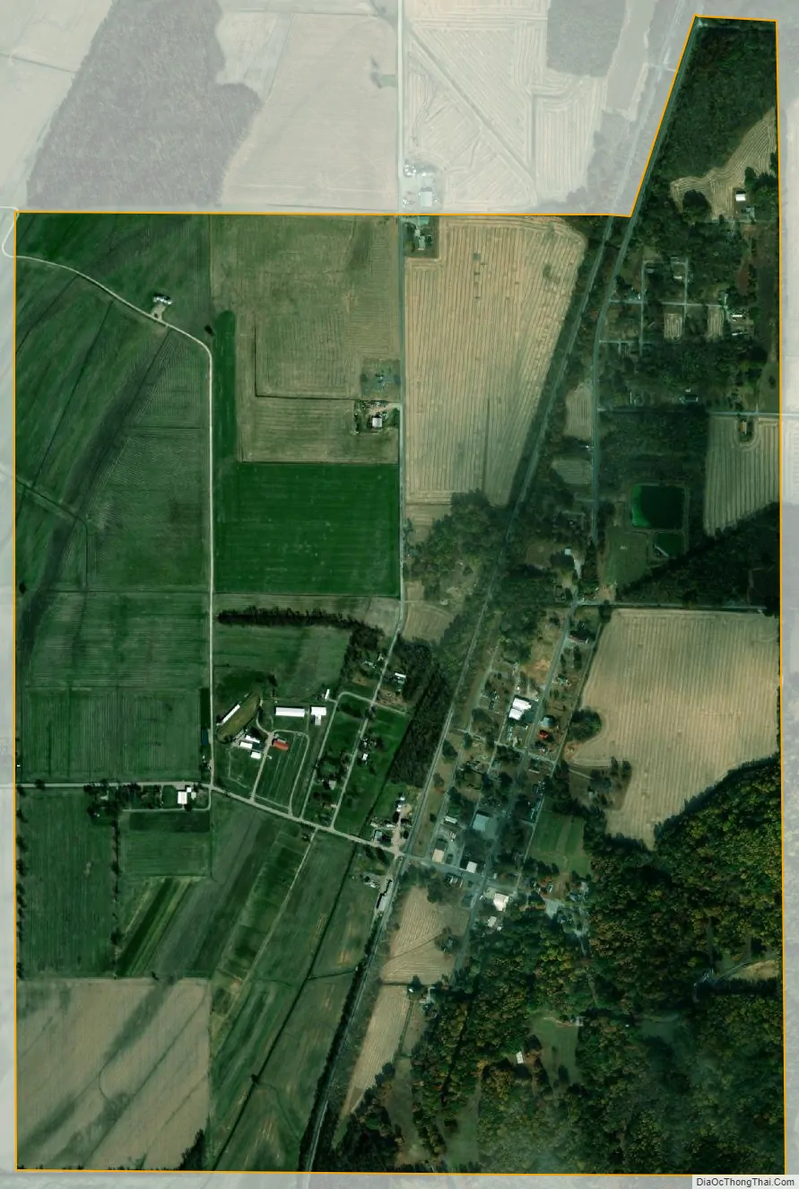
Pulaski city Satellite Map
Geography
Pulaski is located at 37°13′0″N 89°12′22″W / 37.21667°N 89.20611°W / 37.21667; -89.20611 (37.216751, -89.206127). The village lies in the Cache River basin north of Cairo. It straddles Old U.S. Highway 51 and is west of Interstate 57. Pulaski is west of the Ohio River.
According to the 2010 census, Pulaski has a total area of 1.316 square miles (3.41 km), of which 1.31 square miles (3.39 km) (or 99.54%) is land and 0.006 square miles (0.02 km) (or 0.46%) is water.
See also
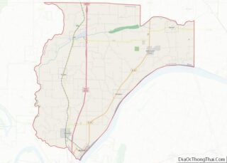
Map of Illinois State and its subdivision:- Adams
- Alexander
- Bond
- Boone
- Brown
- Bureau
- Calhoun
- Carroll
- Cass
- Champaign
- Christian
- Clark
- Clay
- Clinton
- Coles
- Cook
- Crawford
- Cumberland
- De Kalb
- De Witt
- Douglas
- Dupage
- Edgar
- Edwards
- Effingham
- Fayette
- Ford
- Franklin
- Fulton
- Gallatin
- Greene
- Grundy
- Hamilton
- Hancock
- Hardin
- Henderson
- Henry
- Iroquois
- Jackson
- Jasper
- Jefferson
- Jersey
- Jo Daviess
- Johnson
- Kane
- Kankakee
- Kendall
- Knox
- La Salle
- Lake
- Lake Michigan
- Lawrence
- Lee
- Livingston
- Logan
- Macon
- Macoupin
- Madison
- Marion
- Marshall
- Mason
- Massac
- McDonough
- McHenry
- McLean
- Menard
- Mercer
- Monroe
- Montgomery
- Morgan
- Moultrie
- Ogle
- Peoria
- Perry
- Piatt
- Pike
- Pope
- Pulaski
- Putnam
- Randolph
- Richland
- Rock Island
- Saint Clair
- Saline
- Sangamon
- Schuyler
- Scott
- Shelby
- Stark
- Stephenson
- Tazewell
- Union
- Vermilion
- Wabash
- Warren
- Washington
- Wayne
- White
- Whiteside
- Will
- Williamson
- Winnebago
- Woodford
- Alabama
- Alaska
- Arizona
- Arkansas
- California
- Colorado
- Connecticut
- Delaware
- District of Columbia
- Florida
- Georgia
- Hawaii
- Idaho
- Illinois
- Indiana
- Iowa
- Kansas
- Kentucky
- Louisiana
- Maine
- Maryland
- Massachusetts
- Michigan
- Minnesota
- Mississippi
- Missouri
- Montana
- Nebraska
- Nevada
- New Hampshire
- New Jersey
- New Mexico
- New York
- North Carolina
- North Dakota
- Ohio
- Oklahoma
- Oregon
- Pennsylvania
- Rhode Island
- South Carolina
- South Dakota
- Tennessee
- Texas
- Utah
- Vermont
- Virginia
- Washington
- West Virginia
- Wisconsin
- Wyoming