Rantoul is a village in Champaign County, Illinois, United States. The population was 12,371 at the 2020 census.
| Name: | Rantoul village |
|---|---|
| LSAD Code: | 47 |
| LSAD Description: | village (suffix) |
| State: | Illinois |
| County: | Champaign County |
| Founded: | March 4, 1854 |
| Elevation: | 745 ft (227 m) |
| Total Area: | 8.59 sq mi (22.26 km²) |
| Land Area: | 8.49 sq mi (21.99 km²) |
| Water Area: | 0.10 sq mi (0.27 km²) |
| Total Population: | 12,371 |
| Population Density: | 1,457.13/sq mi (562.58/km²) |
| ZIP code: | 61866 |
| FIPS code: | 1762783 |
| Website: | www.myrantoul.com |
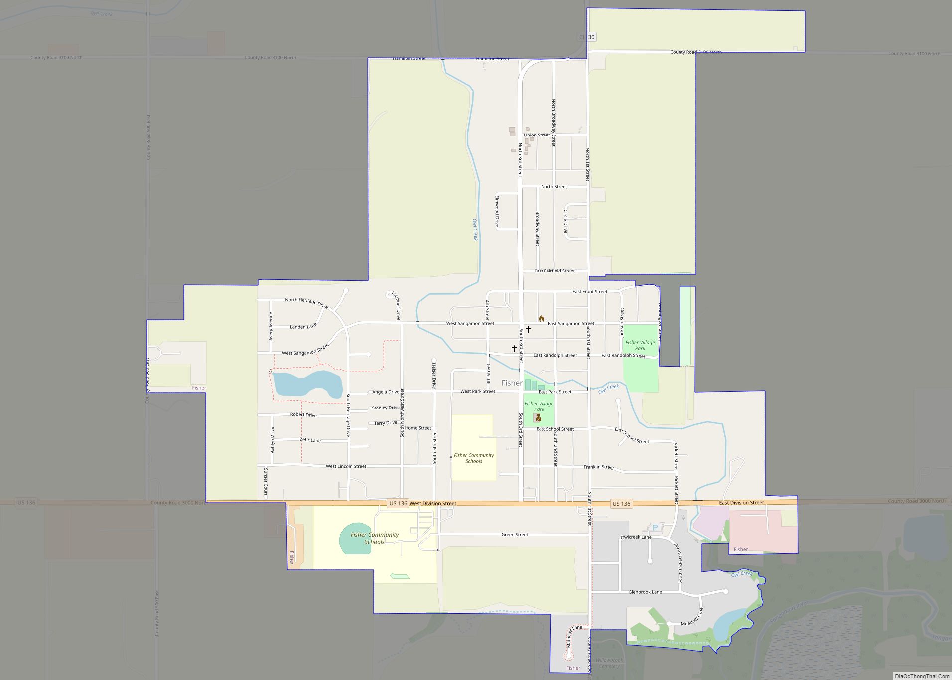
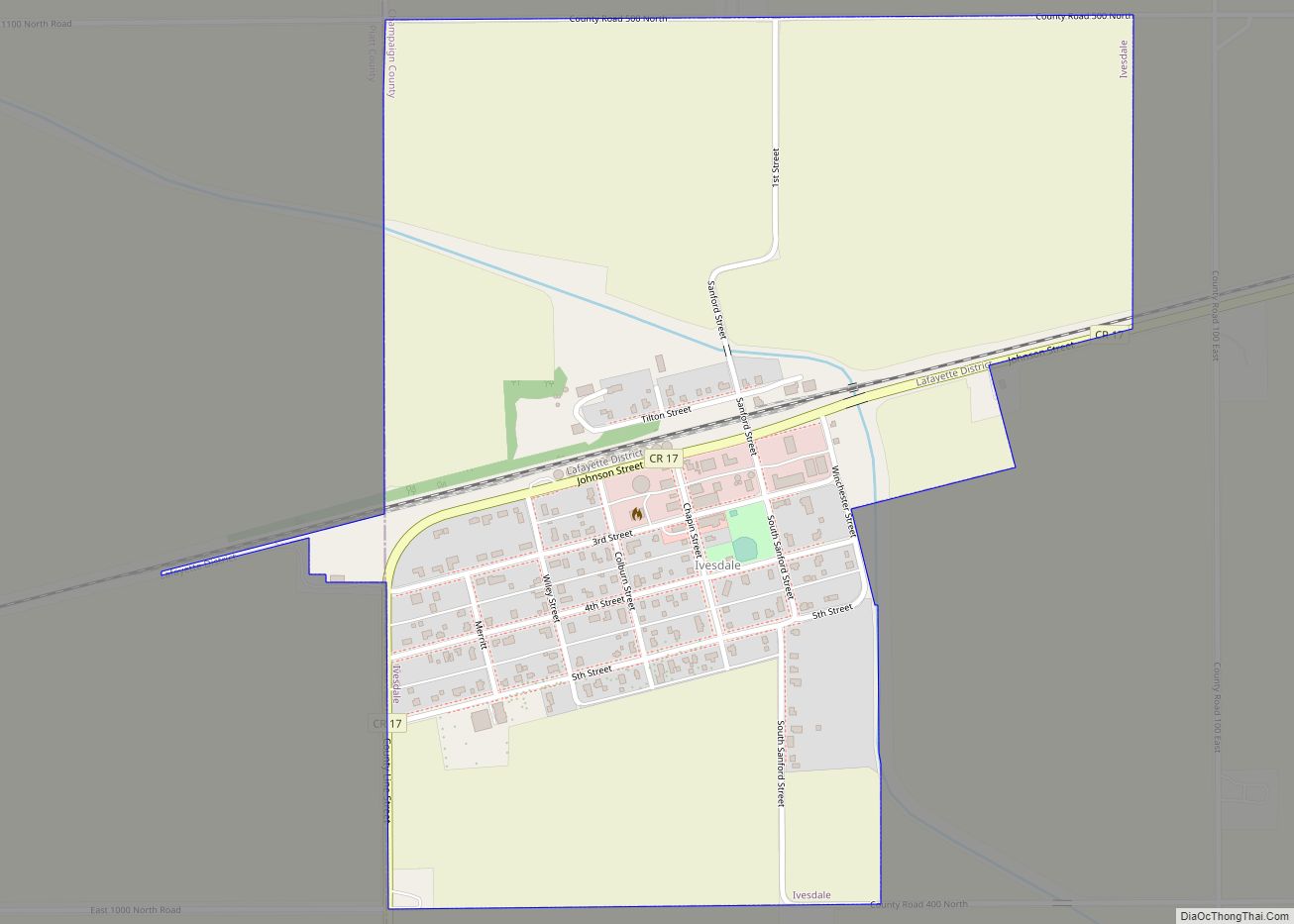
Online Interactive Map
Click on ![]() to view map in "full screen" mode.
to view map in "full screen" mode.
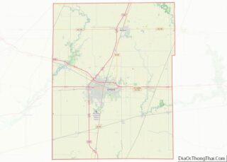
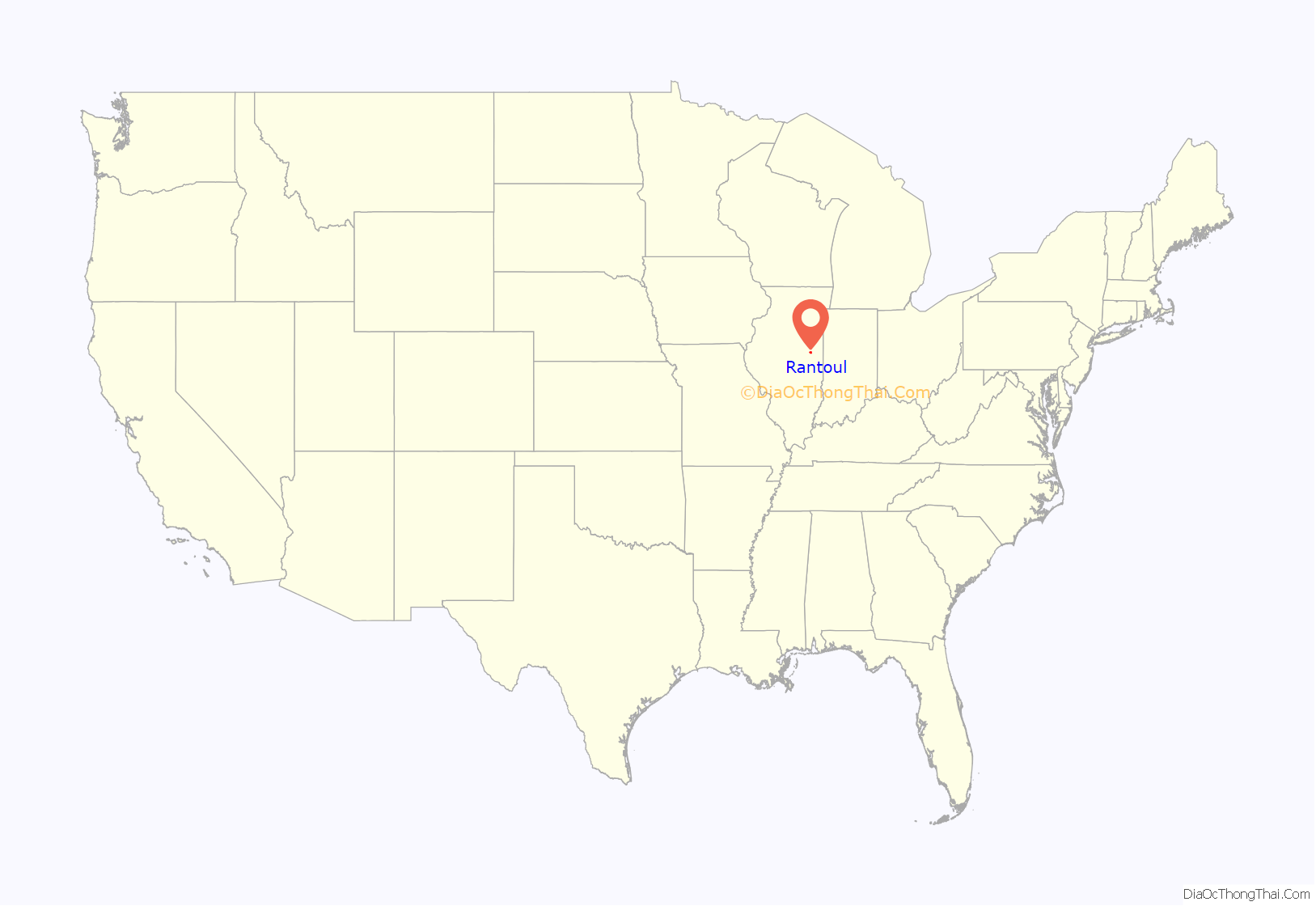
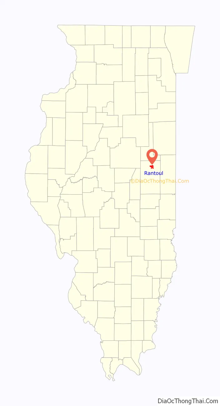
Rantoul location map. Where is Rantoul village?
History
The community was named after Robert Rantoul, Jr., a U.S. representative from Massachusetts, and a director of the Illinois Central Railroad.
Rantoul was laid out in 1854 for the Illinois Central Railroad by John Penfield. A post office was established in 1856 as Rantoul Station; the name was changed to Rantoul in May 1862.
In 1917, Rantoul was chosen by the United States Army to be the site of Chanute Field, due to its proximity to the Illinois Central railroad and the War Department’s ground school at the University of Illinois. In the 1930s, Chanute Field grew, dominating the local economy as thousands of airmen were stationed there to train recruits. Renamed Chanute Air Force Base after World War II, it was closed in 1993, but was partly reoccupied by the Octave Chanute Aerospace Museum, which was permanently closed on December 30, 2015, and the Rantoul National Aviation Center. Rantoul’s economy has taken a sharp decline due to the base’s closing, from which it has never recovered. The book Eye of the Storm: Chanute Closes by Katy B. Podagrosi tells the story of this period.
Rantoul Family Sports Complex opened in August, 2021 as a premier amateur sports facility featuring 10 all weather baseball / softball and 8 all weather multi-purpose fields. The complex plays host to thousands of amateur teams for tournament and local play. It also serves as home field for the University of Illinois “Fighting Illini” men’s lacrosse team.
In 2022 The Rantoul Family Sports Complex was visited by nearly 1 million people, resulting in 7.5 million dollars in visitor spending in Champaign County.
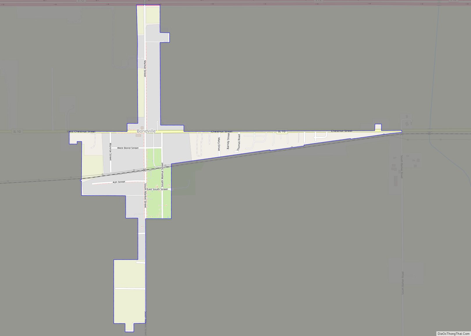
Rantoul Road Map
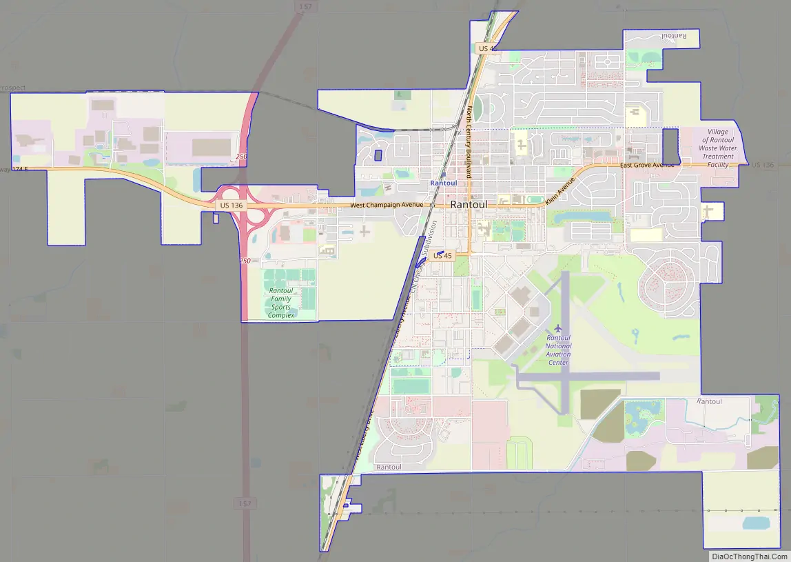
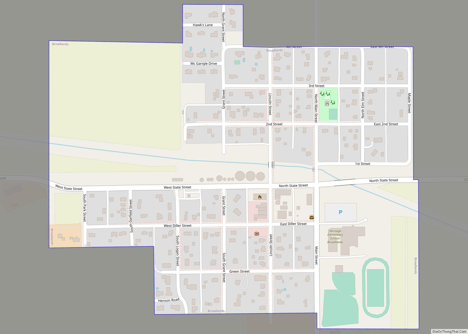
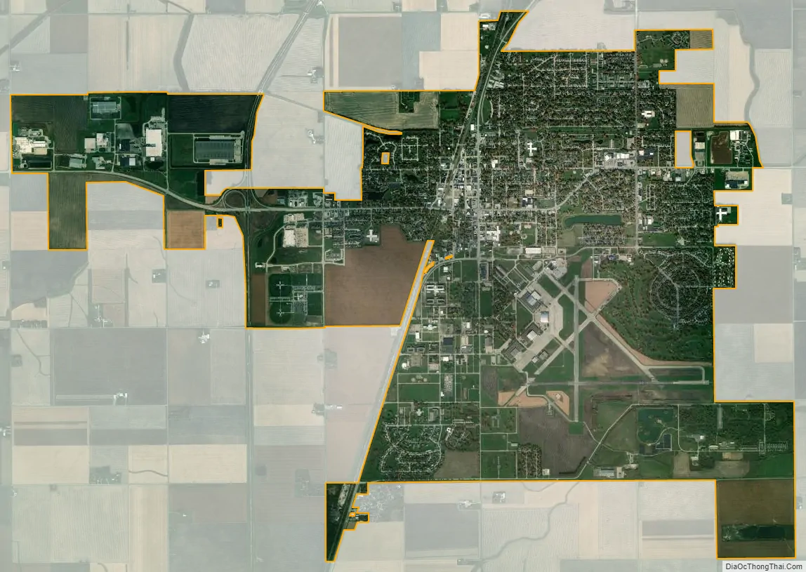
Rantoul city Satellite Map
Geography
Rantoul is located at 40°18′17″N 88°9′7″W / 40.30472°N 88.15194°W / 40.30472; -88.15194 (40.304600, -88.152070).
According to the 2021 census gazetteer files, Rantoul has a total area of 8.59 square miles (22.25 km), of which 8.49 square miles (21.99 km) (or 98.79%) is land and 0.10 square miles (0.26 km) (or 1.21%) is water.
Climate
See also
Map of Illinois State and its subdivision:- Adams
- Alexander
- Bond
- Boone
- Brown
- Bureau
- Calhoun
- Carroll
- Cass
- Champaign
- Christian
- Clark
- Clay
- Clinton
- Coles
- Cook
- Crawford
- Cumberland
- De Kalb
- De Witt
- Douglas
- Dupage
- Edgar
- Edwards
- Effingham
- Fayette
- Ford
- Franklin
- Fulton
- Gallatin
- Greene
- Grundy
- Hamilton
- Hancock
- Hardin
- Henderson
- Henry
- Iroquois
- Jackson
- Jasper
- Jefferson
- Jersey
- Jo Daviess
- Johnson
- Kane
- Kankakee
- Kendall
- Knox
- La Salle
- Lake
- Lake Michigan
- Lawrence
- Lee
- Livingston
- Logan
- Macon
- Macoupin
- Madison
- Marion
- Marshall
- Mason
- Massac
- McDonough
- McHenry
- McLean
- Menard
- Mercer
- Monroe
- Montgomery
- Morgan
- Moultrie
- Ogle
- Peoria
- Perry
- Piatt
- Pike
- Pope
- Pulaski
- Putnam
- Randolph
- Richland
- Rock Island
- Saint Clair
- Saline
- Sangamon
- Schuyler
- Scott
- Shelby
- Stark
- Stephenson
- Tazewell
- Union
- Vermilion
- Wabash
- Warren
- Washington
- Wayne
- White
- Whiteside
- Will
- Williamson
- Winnebago
- Woodford
- Alabama
- Alaska
- Arizona
- Arkansas
- California
- Colorado
- Connecticut
- Delaware
- District of Columbia
- Florida
- Georgia
- Hawaii
- Idaho
- Illinois
- Indiana
- Iowa
- Kansas
- Kentucky
- Louisiana
- Maine
- Maryland
- Massachusetts
- Michigan
- Minnesota
- Mississippi
- Missouri
- Montana
- Nebraska
- Nevada
- New Hampshire
- New Jersey
- New Mexico
- New York
- North Carolina
- North Dakota
- Ohio
- Oklahoma
- Oregon
- Pennsylvania
- Rhode Island
- South Carolina
- South Dakota
- Tennessee
- Texas
- Utah
- Vermont
- Virginia
- Washington
- West Virginia
- Wisconsin
- Wyoming