Royal is a village in Champaign County, Illinois, United States. The population was 293 at the 2020 census.
| Name: | Royal village |
|---|---|
| LSAD Code: | 47 |
| LSAD Description: | village (suffix) |
| State: | Illinois |
| County: | Champaign County |
| Founded: | 1882 |
| Elevation: | 684 ft (208 m) |
| Total Area: | 0.18 sq mi (0.47 km²) |
| Land Area: | 0.18 sq mi (0.47 km²) |
| Water Area: | 0.00 sq mi (0.00 km²) |
| Total Population: | 293 |
| Population Density: | 1,601.09/sq mi (617.07/km²) |
| Area code: | 217 |
| FIPS code: | 1766157 |
| Website: | villageofroyal.com |
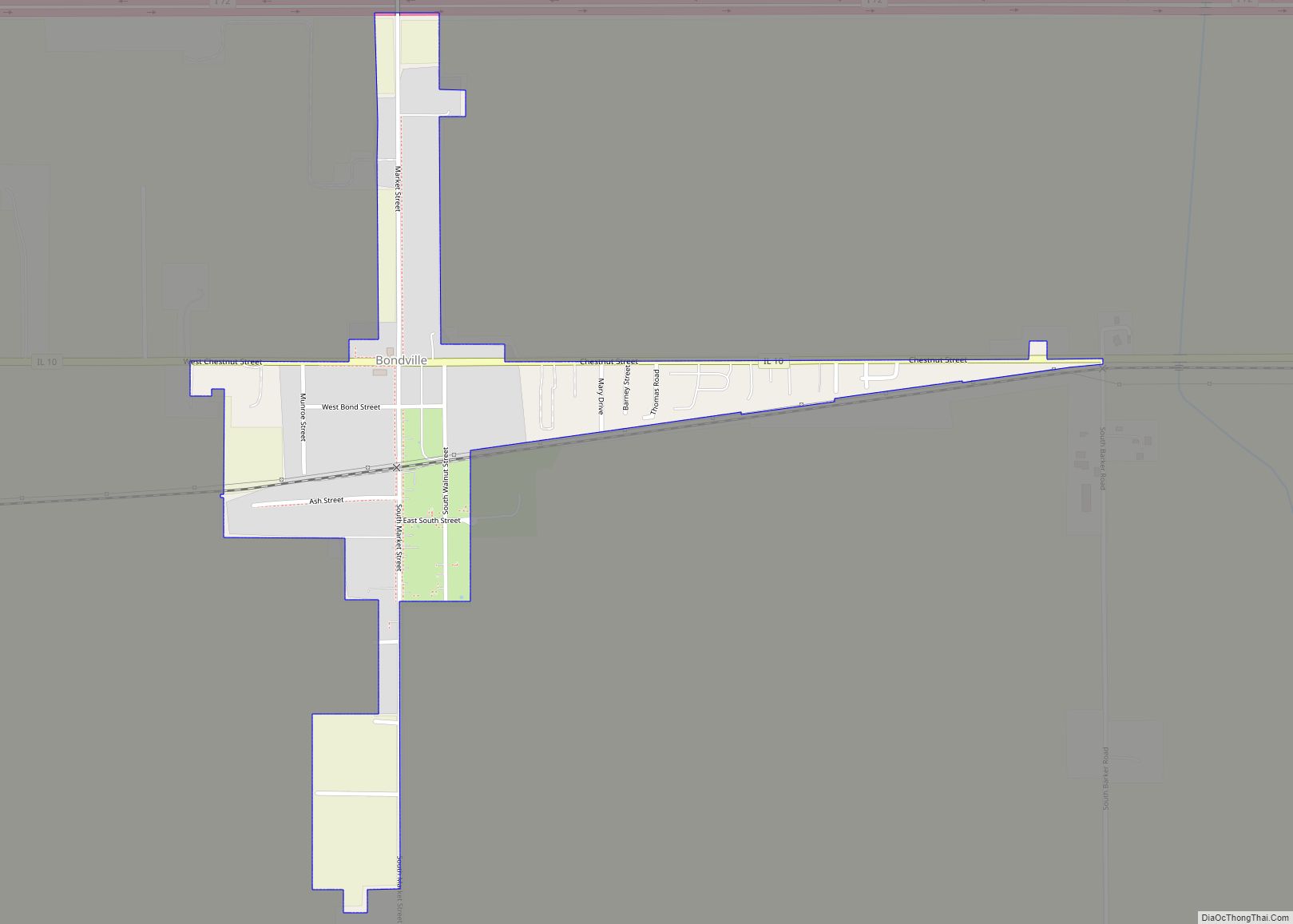
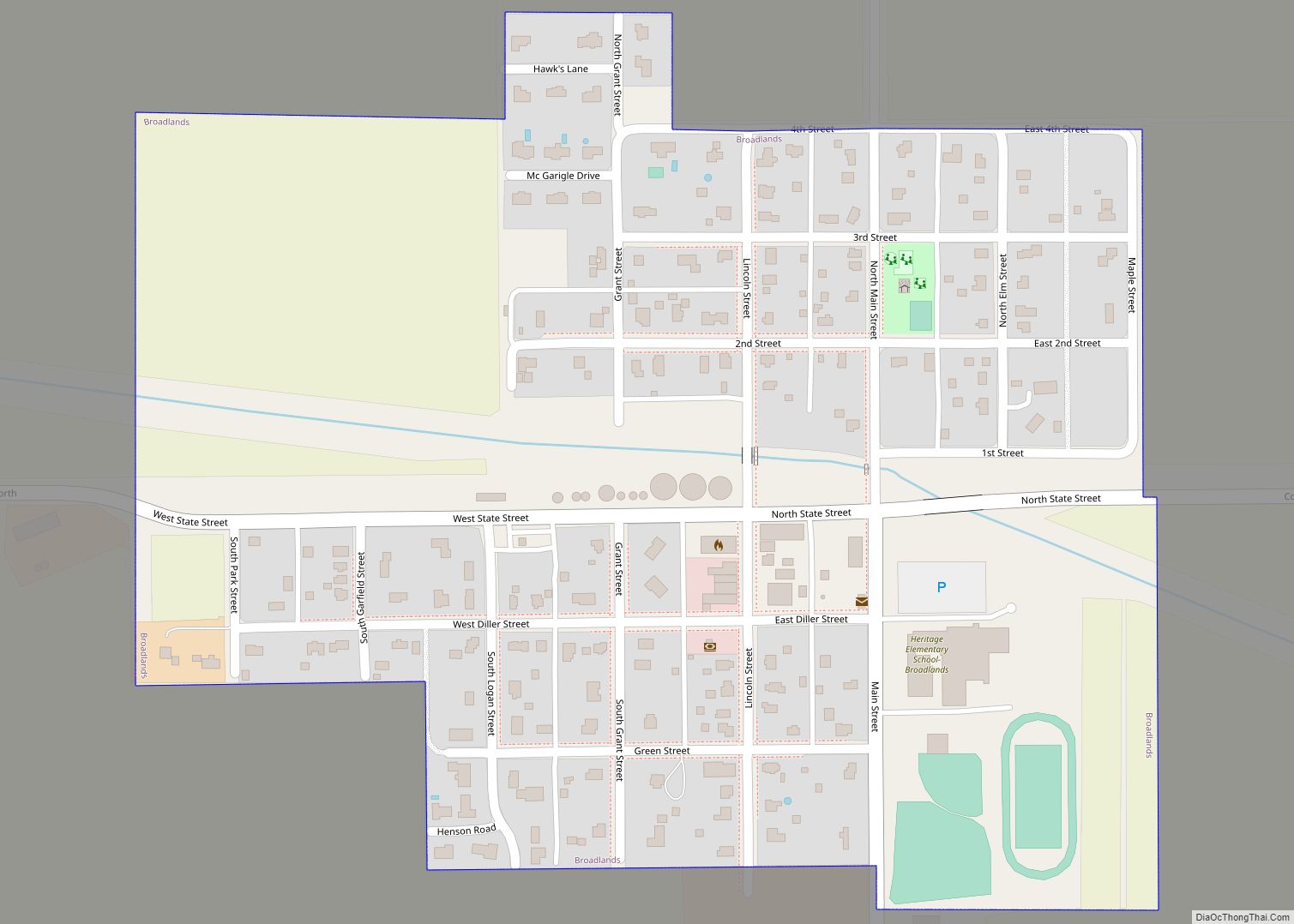
Online Interactive Map
Click on ![]() to view map in "full screen" mode.
to view map in "full screen" mode.
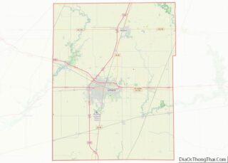
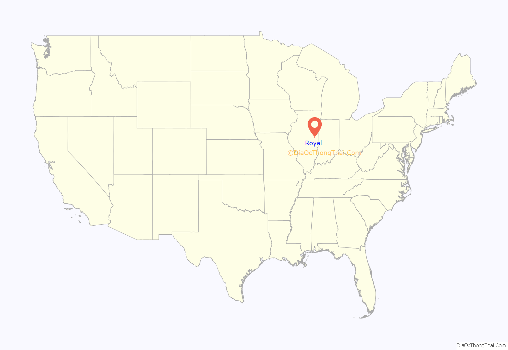
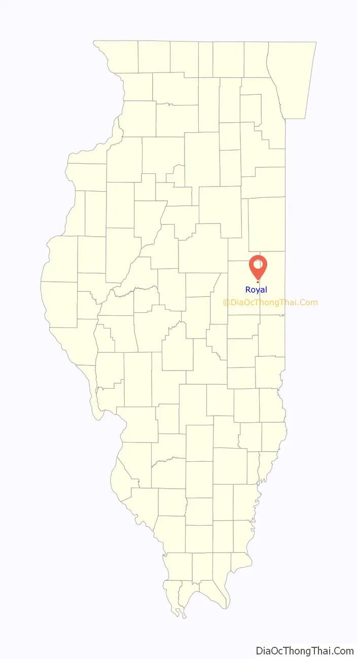
Royal location map. Where is Royal village?
History
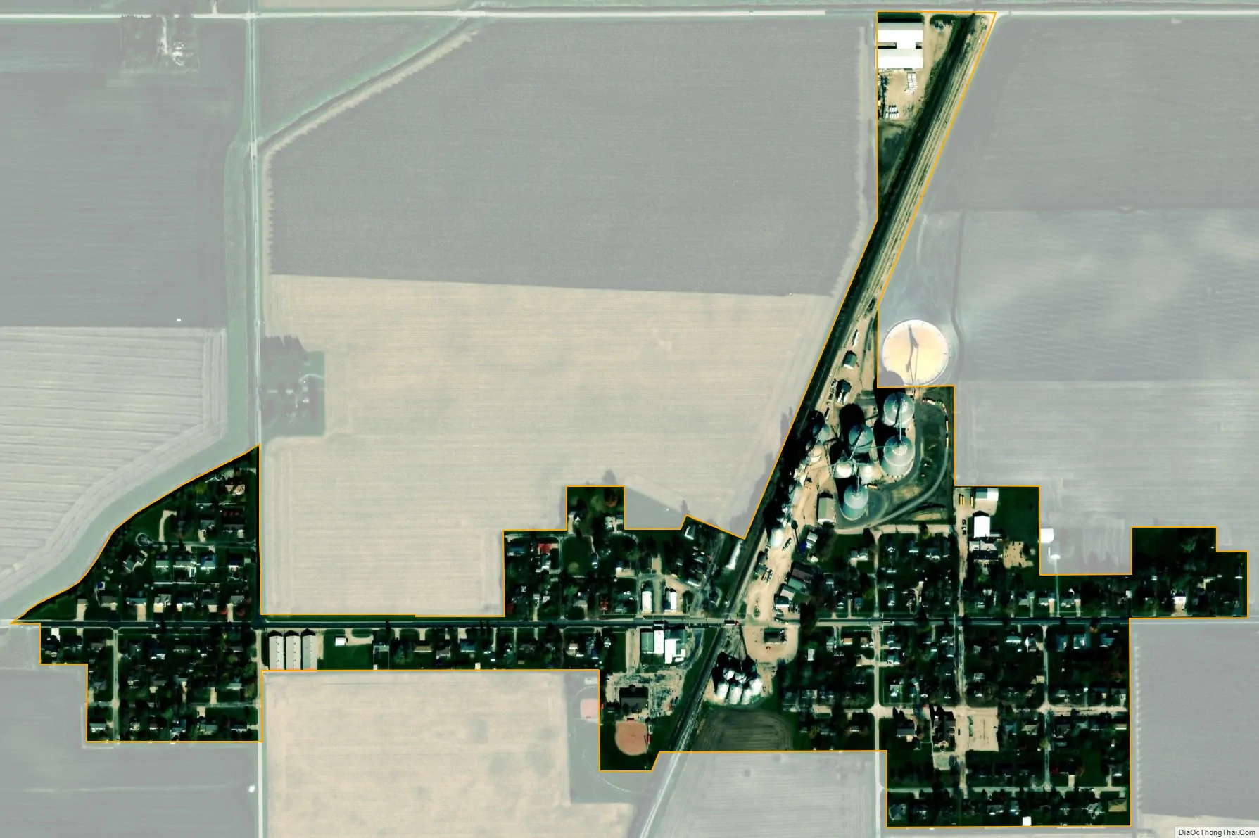
Royal, Illinois is a small village that in part consists of grain elevators at the intersection of a railroad and County Road 20.
Nearly a hundred years ago, the people of St. John Lutheran Church decided to move their church building into town, to better serve current and future generations of people in the village of Royal. Not everyone initially wanted to move the church building; the vote to move was narrowly split. Nonetheless, having made the decision, the congregation came together and embraced the vision for a ministry within the village of Royal. The people worked together for many hours to move their church home. The men and boys of the congregation carefully deconstructed the church, brick by brick, and transported the bricks from out in the country into the village of Royal. There, the congregation’s women and older men painstakingly cleaned the mortar from the bricks to provide the building blocks for a new St. John Lutheran Church to serve the people of Royal. The church still stands today, with 831 members and an average attendance of 200 people.
In 1982, around the time of the town’s centennial anniversary, people began to talk to one another about constructing a shared Community Building to benefit the current and future people of Royal. Hearkening back to the example of the members of St. John’s, the wider community came together around the shared vision of a community of people living together. This vision was embodied in the concept of a Community Building.
An apartment building in Champaign, Illinois needed to be demolished. Hearkening back to the example of the people of St. John Lutheran, the people gathered the bricks and worked together to clean the mortar from each brick. The people then built the new Community Building with these bricks, and it was completed the year after the centennial. The building still stands today and is used by the people of Royal for personal and public events for as little as $85.00 for a small group.
Royal Road Map
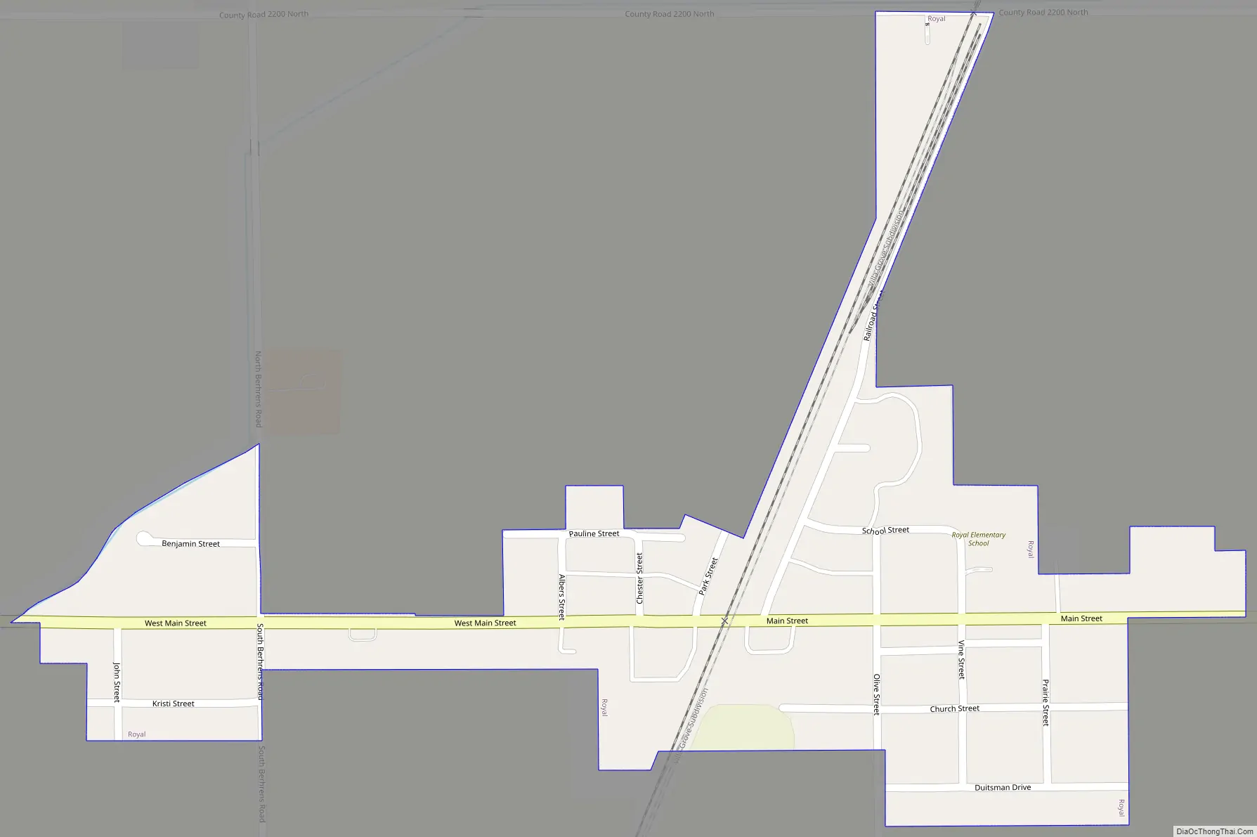
Royal city Satellite Map
Geography
Royal is located at 40°11′36″N 87°58′23″W / 40.19333°N 87.97306°W / 40.19333; -87.97306 (40.193408, -87.973189).
According to the 2021 census gazetteer files, Royal has a total area of 0.18 square miles (0.47 km), all land.
See also
Map of Illinois State and its subdivision:- Adams
- Alexander
- Bond
- Boone
- Brown
- Bureau
- Calhoun
- Carroll
- Cass
- Champaign
- Christian
- Clark
- Clay
- Clinton
- Coles
- Cook
- Crawford
- Cumberland
- De Kalb
- De Witt
- Douglas
- Dupage
- Edgar
- Edwards
- Effingham
- Fayette
- Ford
- Franklin
- Fulton
- Gallatin
- Greene
- Grundy
- Hamilton
- Hancock
- Hardin
- Henderson
- Henry
- Iroquois
- Jackson
- Jasper
- Jefferson
- Jersey
- Jo Daviess
- Johnson
- Kane
- Kankakee
- Kendall
- Knox
- La Salle
- Lake
- Lake Michigan
- Lawrence
- Lee
- Livingston
- Logan
- Macon
- Macoupin
- Madison
- Marion
- Marshall
- Mason
- Massac
- McDonough
- McHenry
- McLean
- Menard
- Mercer
- Monroe
- Montgomery
- Morgan
- Moultrie
- Ogle
- Peoria
- Perry
- Piatt
- Pike
- Pope
- Pulaski
- Putnam
- Randolph
- Richland
- Rock Island
- Saint Clair
- Saline
- Sangamon
- Schuyler
- Scott
- Shelby
- Stark
- Stephenson
- Tazewell
- Union
- Vermilion
- Wabash
- Warren
- Washington
- Wayne
- White
- Whiteside
- Will
- Williamson
- Winnebago
- Woodford
- Alabama
- Alaska
- Arizona
- Arkansas
- California
- Colorado
- Connecticut
- Delaware
- District of Columbia
- Florida
- Georgia
- Hawaii
- Idaho
- Illinois
- Indiana
- Iowa
- Kansas
- Kentucky
- Louisiana
- Maine
- Maryland
- Massachusetts
- Michigan
- Minnesota
- Mississippi
- Missouri
- Montana
- Nebraska
- Nevada
- New Hampshire
- New Jersey
- New Mexico
- New York
- North Carolina
- North Dakota
- Ohio
- Oklahoma
- Oregon
- Pennsylvania
- Rhode Island
- South Carolina
- South Dakota
- Tennessee
- Texas
- Utah
- Vermont
- Virginia
- Washington
- West Virginia
- Wisconsin
- Wyoming