Sciota /saɪˈoʊdə/ is a village in McDonough County, Illinois, United States. The population was 38 at the 2020 census, down from 61 in 2010.
| Name: | Sciota village |
|---|---|
| LSAD Code: | 47 |
| LSAD Description: | village (suffix) |
| State: | Illinois |
| County: | McDonough County |
| Founded: | 1867 |
| Elevation: | 758 ft (231 m) |
| Total Area: | 0.31 sq mi (0.81 km²) |
| Land Area: | 0.31 sq mi (0.81 km²) |
| Water Area: | 0.00 sq mi (0.00 km²) |
| Total Population: | 38 |
| Population Density: | 121.79/sq mi (46.98/km²) |
| ZIP code: | 61475 |
| Area code: | 309 |
| FIPS code: | 1768198 |
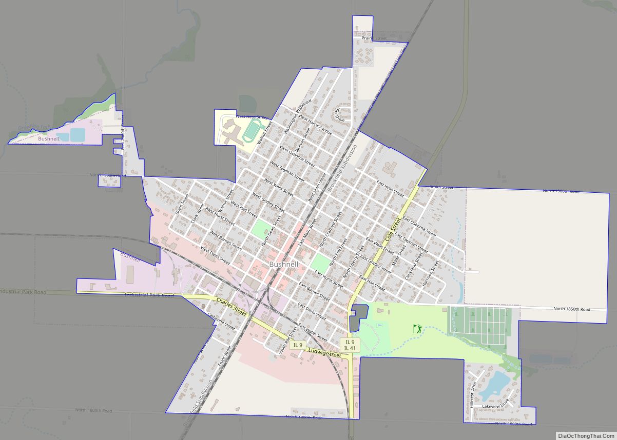
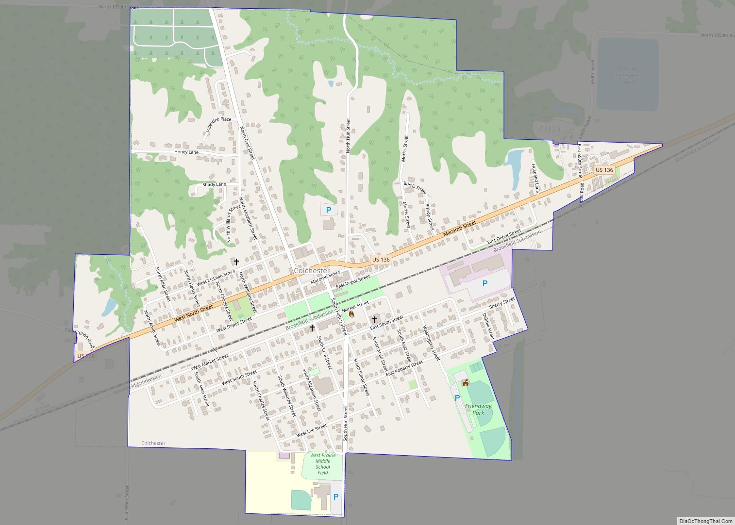
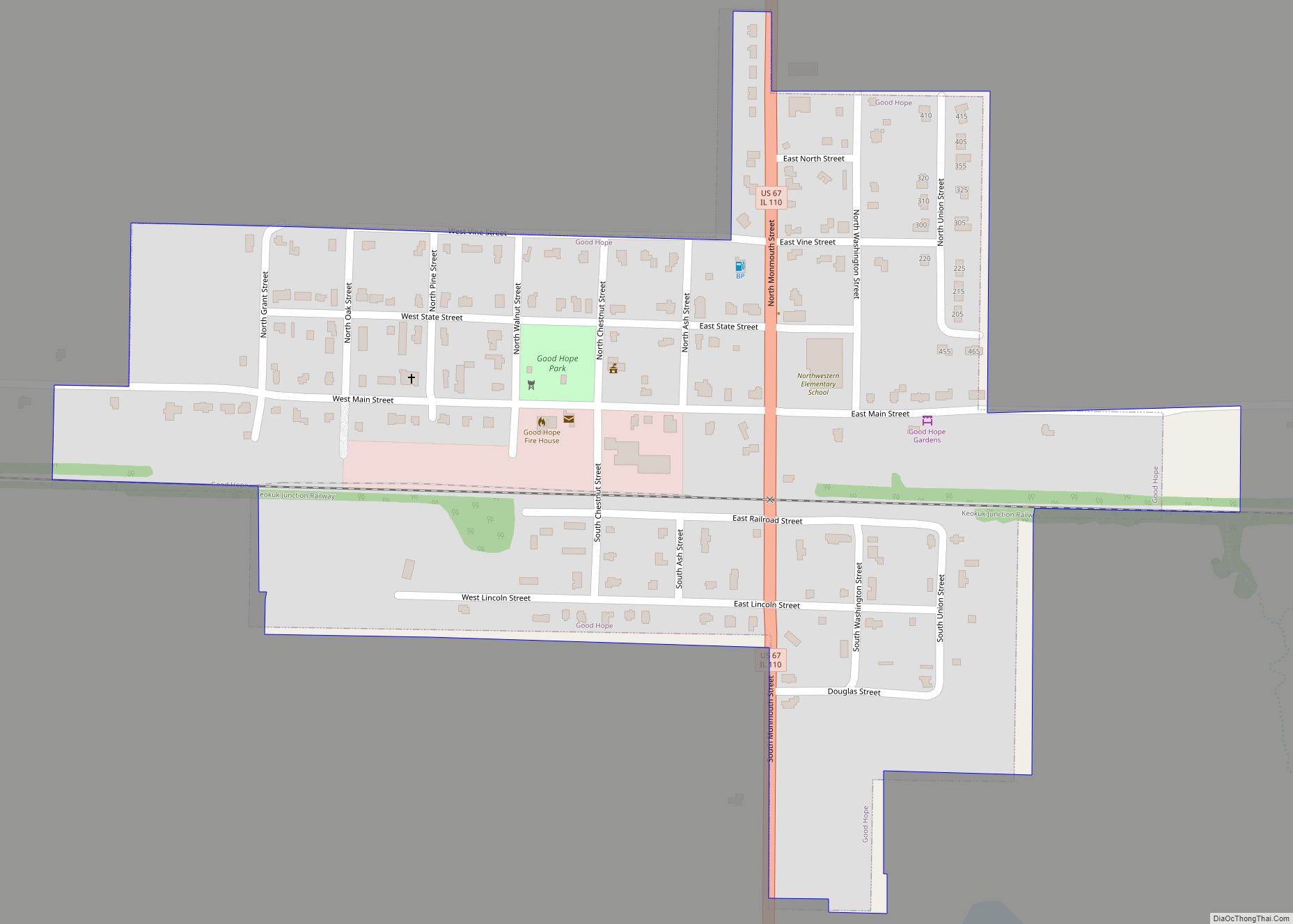
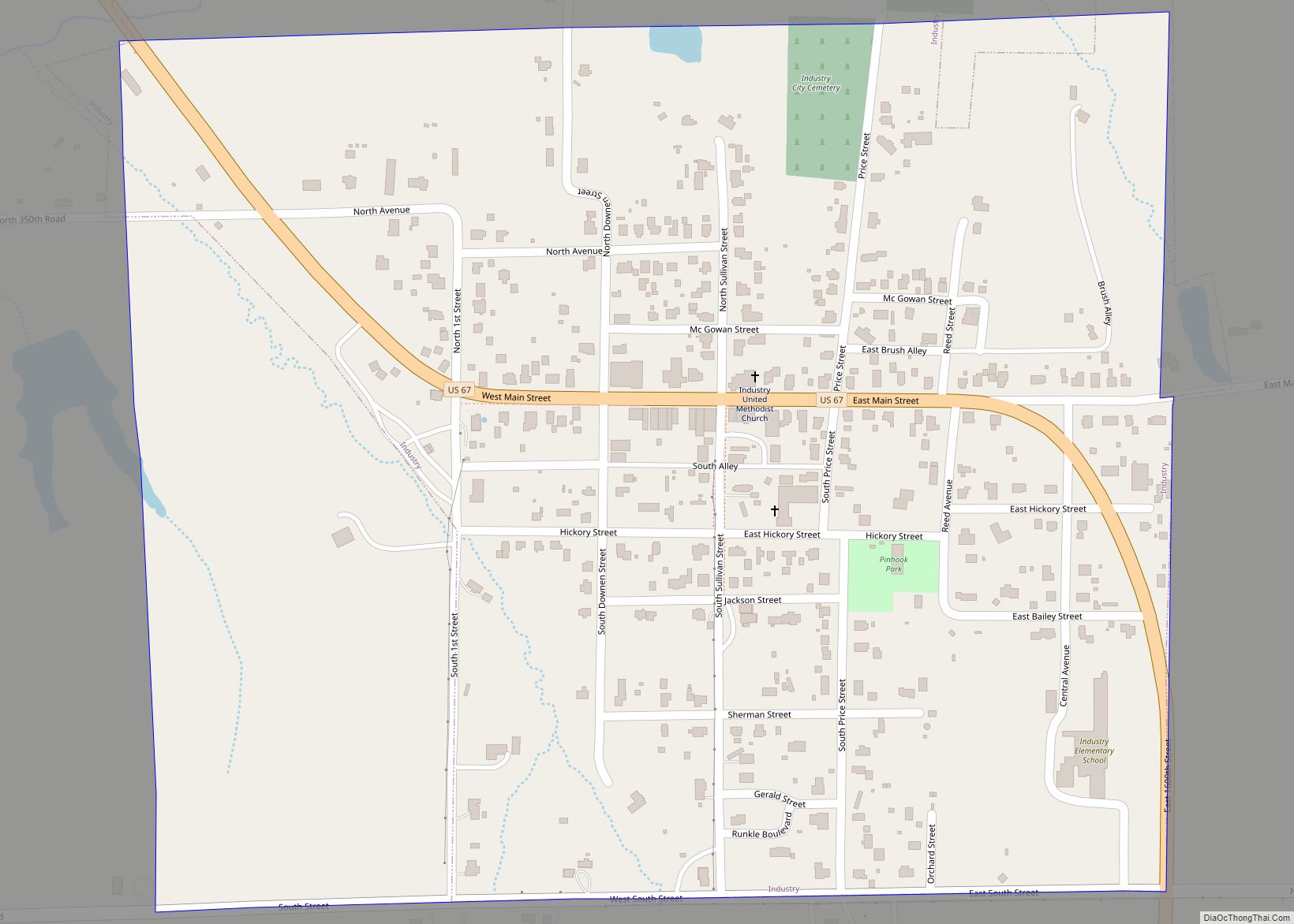
Online Interactive Map
Click on ![]() to view map in "full screen" mode.
to view map in "full screen" mode.
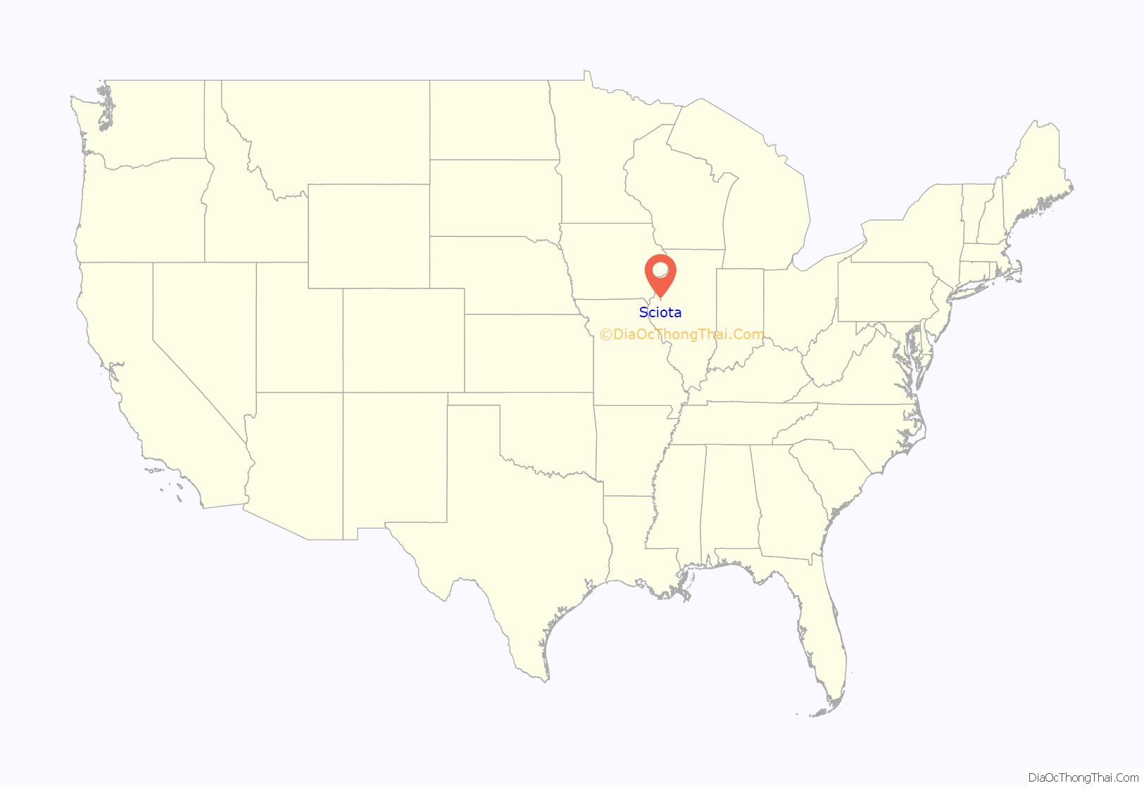
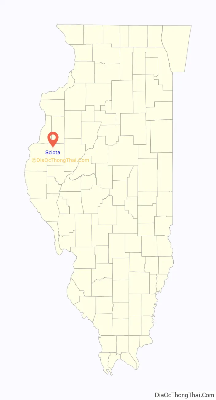
Sciota location map. Where is Sciota village?
History
Sciota was laid out in September 1867 by William B. Clarke and was called “Clarkesville” in his honor. Another town in Illinois already had been named Clarksville (without the “e”), so when the new town’s post office was established on February 7, 1868, it was called “Amicus”. This discrepancy between town name and post office name led the residents to change both names to “Sciota”, after the township in which the town lies. (Sciota Township was named after the Scioto River in Ohio.) The Illinois General Assembly approved the name change on March 29, 1869.
A Christian church was erected in 1869, a Baptist church in 1871, and a school building in 1872.
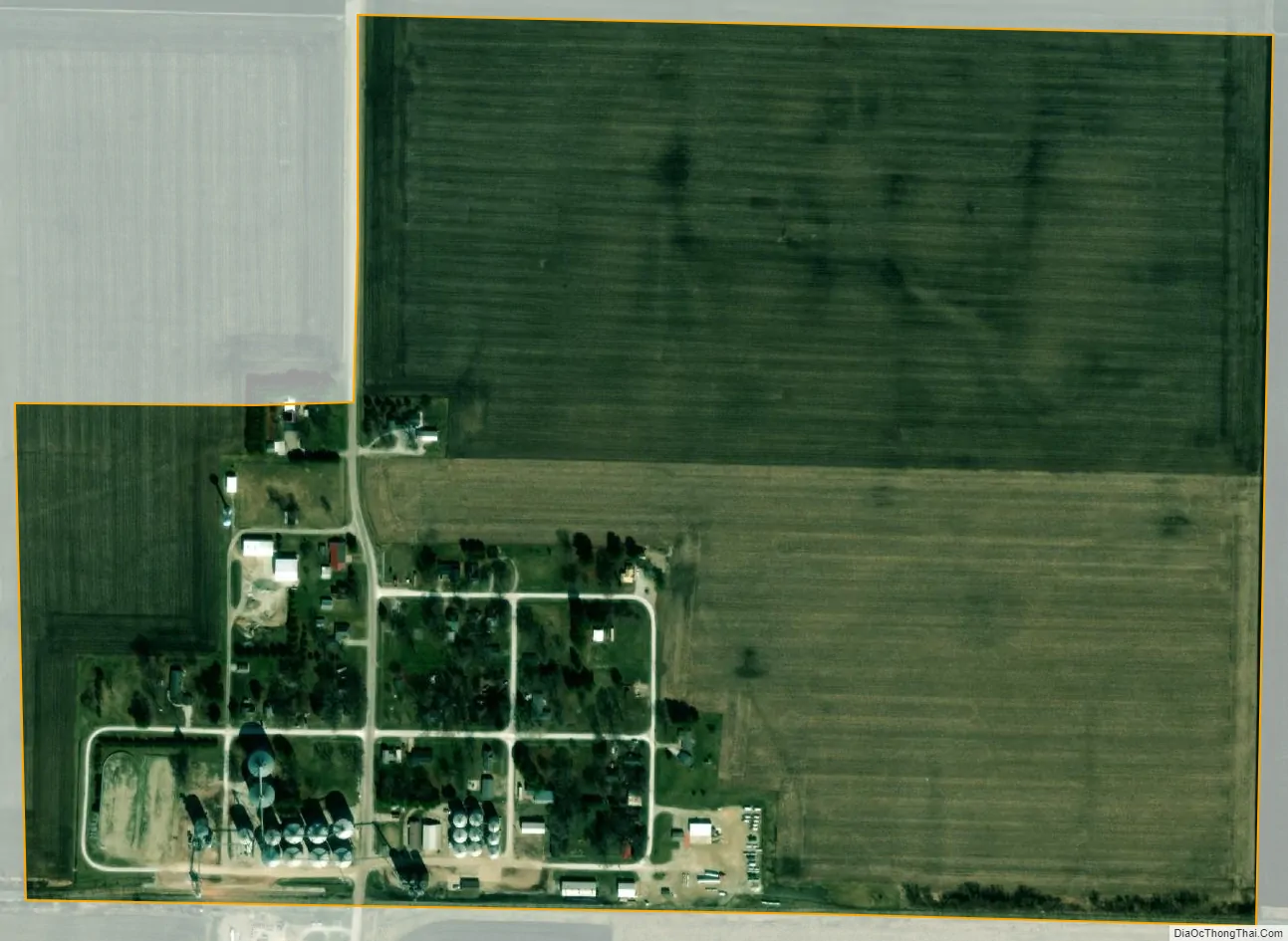
In 1878, Sciota was the largest grain market in McDonough County. At that time, the primary crops were corn and oats; now, the village is surrounded by fields of corn and soybeans.
A newspaper, The Sciota Sentinel, was published by H. C. Harl around 1895, but only one issue seems to have survived (October 17, 1895, no. 49).
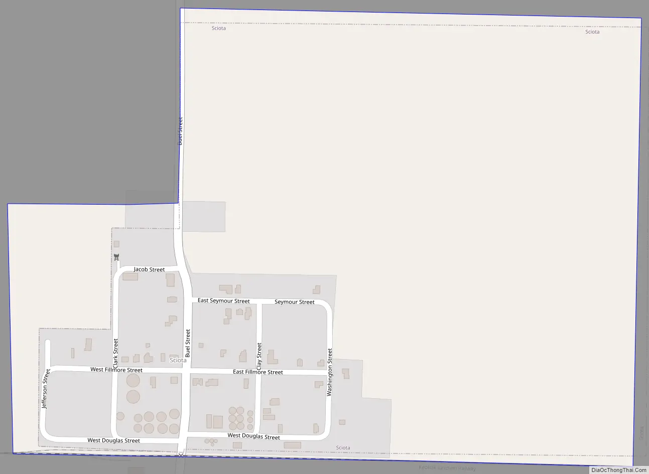
Sciota Road Map
Sciota city Satellite Map
Geography
Sciota is located in northern McDonough County at 40°33′39″N 90°45′06″W / 40.56083°N 90.75167°W / 40.56083; -90.75167Coordinates: 40°33′39″N 90°45′06″W / 40.56083°N 90.75167°W / 40.56083; -90.75167 (40.5608731, -90.7517996) at an elevation of 758 feet (231 m). It is 0.5 miles (0.8 km) north of Illinois Route 9 and 10 miles (16 km) northwest of Macomb, the county seat.
According to the U.S. Census Bureau, Sciota has a total area of 0.31 square miles (0.80 km), all land. It is situated east of the headwaters of an unnamed tributary of Spring Creek, itself a tributary of the East Fork of the La Moine River, part of the Illinois River watershed.
The village of Sciota lies in an area of prime farmland with soil classified as Mollisols.
See also
Map of Illinois State and its subdivision:- Adams
- Alexander
- Bond
- Boone
- Brown
- Bureau
- Calhoun
- Carroll
- Cass
- Champaign
- Christian
- Clark
- Clay
- Clinton
- Coles
- Cook
- Crawford
- Cumberland
- De Kalb
- De Witt
- Douglas
- Dupage
- Edgar
- Edwards
- Effingham
- Fayette
- Ford
- Franklin
- Fulton
- Gallatin
- Greene
- Grundy
- Hamilton
- Hancock
- Hardin
- Henderson
- Henry
- Iroquois
- Jackson
- Jasper
- Jefferson
- Jersey
- Jo Daviess
- Johnson
- Kane
- Kankakee
- Kendall
- Knox
- La Salle
- Lake
- Lake Michigan
- Lawrence
- Lee
- Livingston
- Logan
- Macon
- Macoupin
- Madison
- Marion
- Marshall
- Mason
- Massac
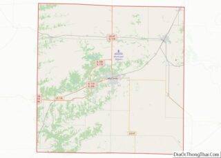
- McDonough
- McHenry
- McLean
- Menard
- Mercer
- Monroe
- Montgomery
- Morgan
- Moultrie
- Ogle
- Peoria
- Perry
- Piatt
- Pike
- Pope
- Pulaski
- Putnam
- Randolph
- Richland
- Rock Island
- Saint Clair
- Saline
- Sangamon
- Schuyler
- Scott
- Shelby
- Stark
- Stephenson
- Tazewell
- Union
- Vermilion
- Wabash
- Warren
- Washington
- Wayne
- White
- Whiteside
- Will
- Williamson
- Winnebago
- Woodford
- Alabama
- Alaska
- Arizona
- Arkansas
- California
- Colorado
- Connecticut
- Delaware
- District of Columbia
- Florida
- Georgia
- Hawaii
- Idaho
- Illinois
- Indiana
- Iowa
- Kansas
- Kentucky
- Louisiana
- Maine
- Maryland
- Massachusetts
- Michigan
- Minnesota
- Mississippi
- Missouri
- Montana
- Nebraska
- Nevada
- New Hampshire
- New Jersey
- New Mexico
- New York
- North Carolina
- North Dakota
- Ohio
- Oklahoma
- Oregon
- Pennsylvania
- Rhode Island
- South Carolina
- South Dakota
- Tennessee
- Texas
- Utah
- Vermont
- Virginia
- Washington
- West Virginia
- Wisconsin
- Wyoming