Seneca is a village in LaSalle and Grundy counties in the U.S. state of Illinois. The population was 2,353 at the 2020 census, down from 2,371 at the 2010 census.
The LaSalle County portion of Seneca is part of the Ottawa Micropolitan Statistical Area, while the small portion that lies in Grundy County is part of the Chicago–Naperville–Joliet Metropolitan Statistical Area.
| Name: | Seneca village |
|---|---|
| LSAD Code: | 47 |
| LSAD Description: | village (suffix) |
| State: | Illinois |
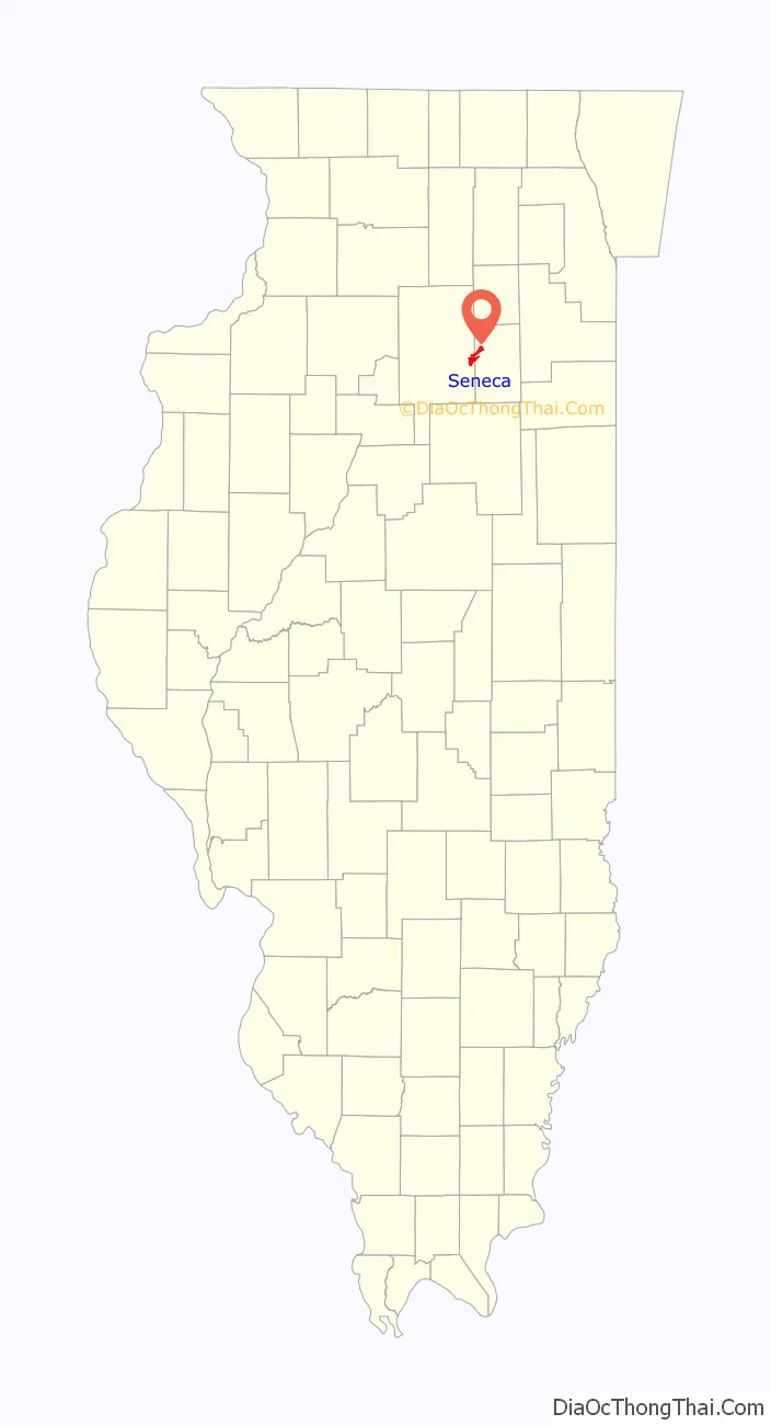
| County: | Grundy County, LaSalle County |
| Elevation: | 614 ft (187 m) |
| Total Area: | 6.58 sq mi (17.03 km²) |
| Land Area: | 6.21 sq mi (16.08 km²) |
| Water Area: | 0.37 sq mi (0.95 km²) |
| Total Population: | 2,353 |
| Population Density: | 378.97/sq mi (146.31/km²) |
| Area code: | 815 |
| FIPS code: | 1768640 |
| GNISfeature ID: | 2399784 |
| Website: | senecail.org |
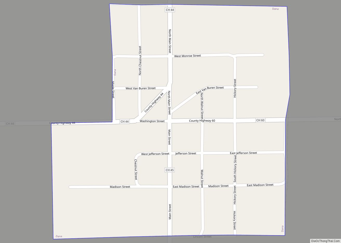
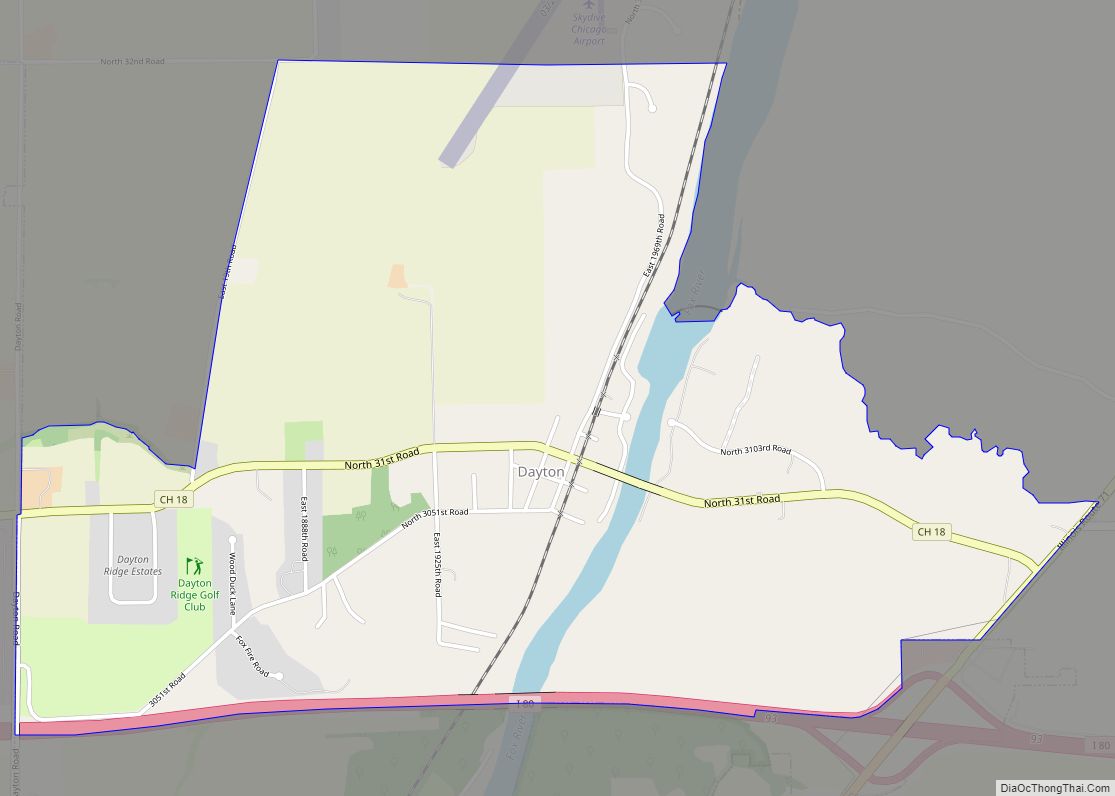
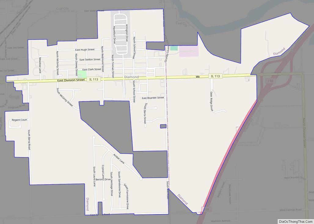
Online Interactive Map
Click on ![]() to view map in "full screen" mode.
to view map in "full screen" mode.
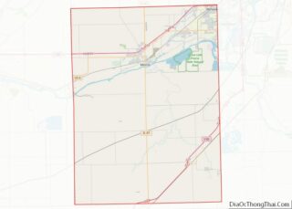
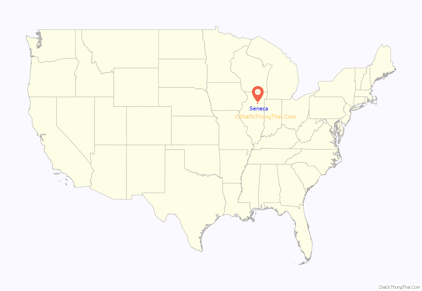
Seneca location map. Where is Seneca village?
History
The village of Seneca, formerly named Crotty after its founder, Jeremiah Crotty, was incorporated in 1865. The town was created during the construction of the Illinois and Michigan Canal for which Crotty was a contractor.
The Rock Island Railroad and the Illinois River also supported the creation and business of our town. Seneca is most known for its contributions during World War II when Chicago Bridge and Iron operated the Prairie Shipyard. 157 Landing Ship, Tanks (LST) were built here.
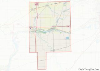
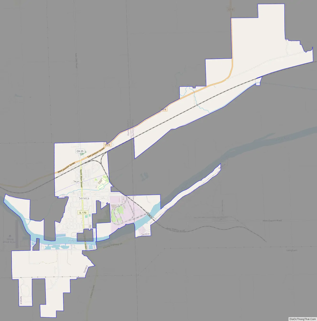
Seneca Road Map
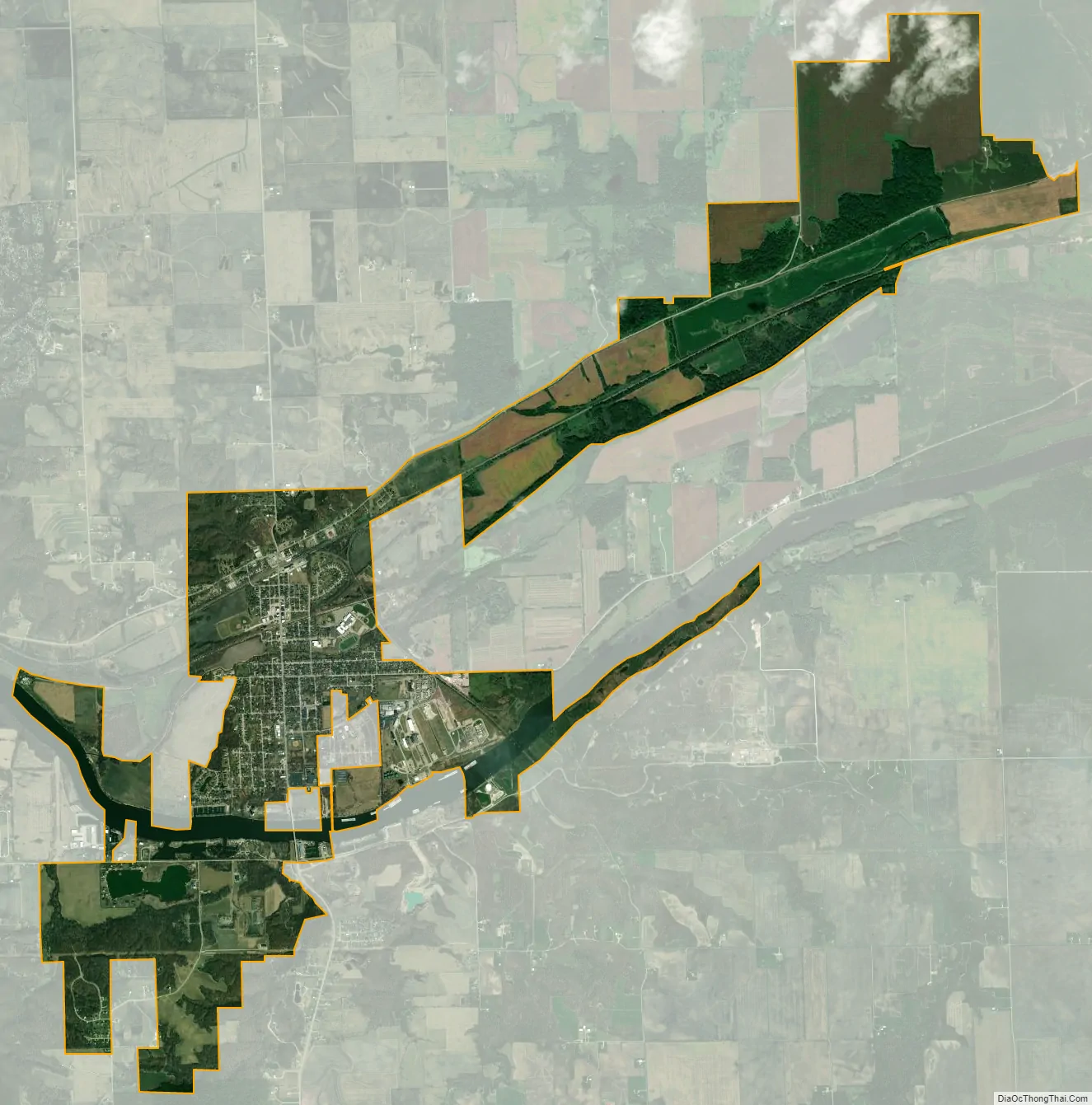
Seneca city Satellite Map
Geography
Seneca is located at 41°18′40″N 88°36′35″W / 41.31111°N 88.60972°W / 41.31111; -88.60972 (41.3111442, -88.6097936).
According to the 2021 census gazetteer files, Seneca has a total area of 6.58 square miles (17.04 km), of which 6.21 square miles (16.08 km) (or 94.42%) is land and 0.37 square miles (0.96 km) (or 5.58%) is water.
Most of the village lies in LaSalle County, although a small portion extends into west central Grundy County. In the 2000 census, all of Seneca’s 2,082 residents lived in LaSalle County. According to 2006 population estimates, 2,082 of the village’s 2,087 residents (99.8%) lived in LaSalle County and 5 (0.2%) lived in Grundy County.
Seneca is located on the Illinois River, which connects Lake Michigan to the Mississippi River.
See also
Map of Illinois State and its subdivision:- Adams
- Alexander
- Bond
- Boone
- Brown
- Bureau
- Calhoun
- Carroll
- Cass
- Champaign
- Christian
- Clark
- Clay
- Clinton
- Coles
- Cook
- Crawford
- Cumberland
- De Kalb
- De Witt
- Douglas
- Dupage
- Edgar
- Edwards
- Effingham
- Fayette
- Ford
- Franklin
- Fulton
- Gallatin
- Greene
- Grundy
- Hamilton
- Hancock
- Hardin
- Henderson
- Henry
- Iroquois
- Jackson
- Jasper
- Jefferson
- Jersey
- Jo Daviess
- Johnson
- Kane
- Kankakee
- Kendall
- Knox
- La Salle
- Lake
- Lake Michigan
- Lawrence
- Lee
- Livingston
- Logan
- Macon
- Macoupin
- Madison
- Marion
- Marshall
- Mason
- Massac
- McDonough
- McHenry
- McLean
- Menard
- Mercer
- Monroe
- Montgomery
- Morgan
- Moultrie
- Ogle
- Peoria
- Perry
- Piatt
- Pike
- Pope
- Pulaski
- Putnam
- Randolph
- Richland
- Rock Island
- Saint Clair
- Saline
- Sangamon
- Schuyler
- Scott
- Shelby
- Stark
- Stephenson
- Tazewell
- Union
- Vermilion
- Wabash
- Warren
- Washington
- Wayne
- White
- Whiteside
- Will
- Williamson
- Winnebago
- Woodford
- Alabama
- Alaska
- Arizona
- Arkansas
- California
- Colorado
- Connecticut
- Delaware
- District of Columbia
- Florida
- Georgia
- Hawaii
- Idaho
- Illinois
- Indiana
- Iowa
- Kansas
- Kentucky
- Louisiana
- Maine
- Maryland
- Massachusetts
- Michigan
- Minnesota
- Mississippi
- Missouri
- Montana
- Nebraska
- Nevada
- New Hampshire
- New Jersey
- New Mexico
- New York
- North Carolina
- North Dakota
- Ohio
- Oklahoma
- Oregon
- Pennsylvania
- Rhode Island
- South Carolina
- South Dakota
- Tennessee
- Texas
- Utah
- Vermont
- Virginia
- Washington
- West Virginia
- Wisconsin
- Wyoming