Sesser is a city in Franklin County, Illinois, United States. The population was 1,931 at the 2010 census. The current mayor is C. Jason Ashmore.
| Name: | Sesser city |
|---|---|
| LSAD Code: | 25 |
| LSAD Description: | city (suffix) |
| State: | Illinois |
| County: | Franklin County |
| Elevation: | 482 ft (147 m) |
| Total Area: | 1.03 sq mi (2.67 km²) |
| Land Area: | 1.03 sq mi (2.67 km²) |
| Water Area: | 0.00 sq mi (0.00 km²) |
| Total Population: | 1,888 |
| Population Density: | 1,833.01/sq mi (707.56/km²) |
| Area code: | 618 |
| FIPS code: | 1768705 |
| GNISfeature ID: | 418223 |
| Website: | http://www.sesser.org |
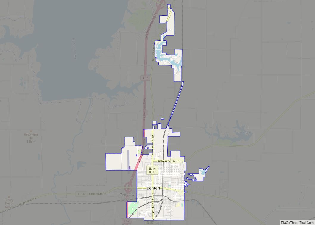
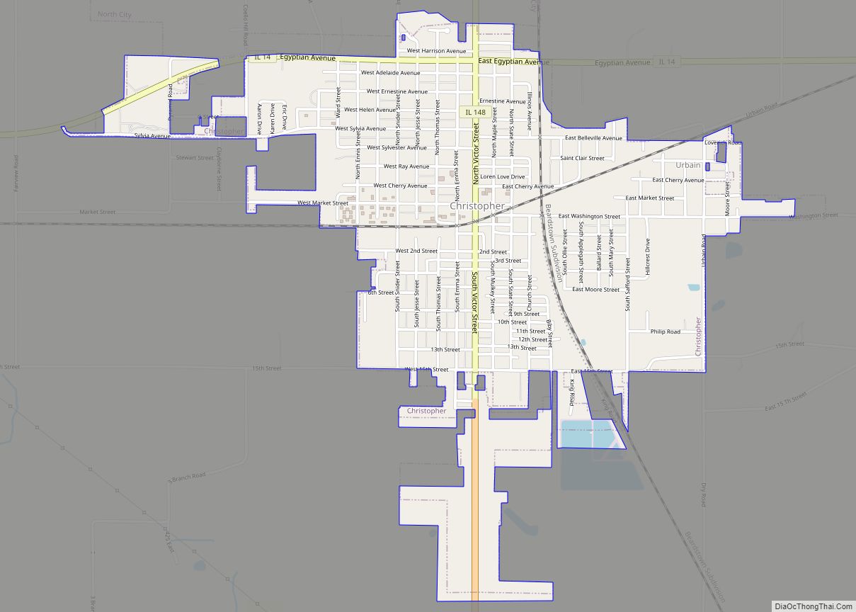
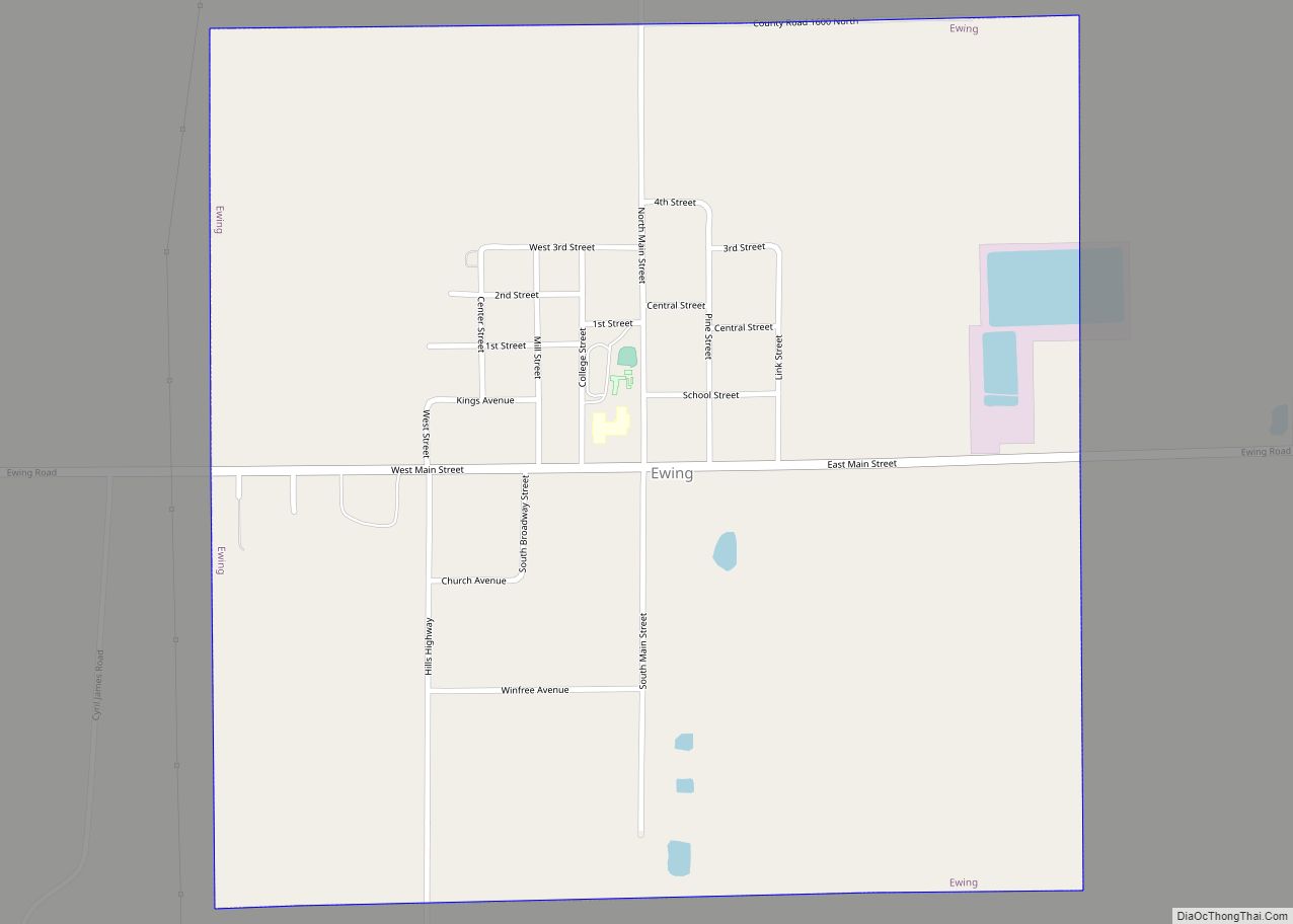
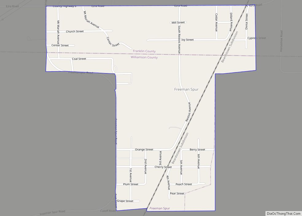
Online Interactive Map
Click on ![]() to view map in "full screen" mode.
to view map in "full screen" mode.
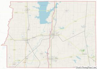
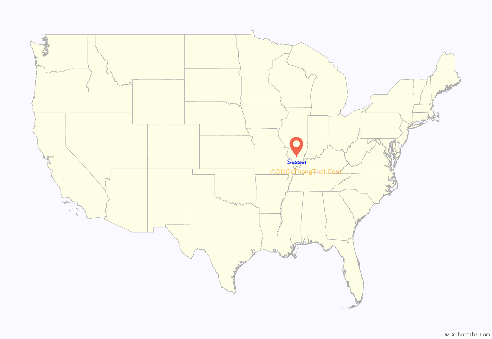
Sesser location map. Where is Sesser city?
History
In summer 1904, when coal was discovered at today’s Sesser, the area was a prairie covered with wheat and corn fields. By 1906, the Chicago, Burlington and Quincy Railroad had extended its lines south from Centralia to Sesser, and the new town was named after railroad surveyor John Sesser.
The first mine in Sesser, the Keller Mine, was sunk in 1905-1906.
In 1906, Sesser was incorporated as a village. It re-incorporated as a city in 1909.
Old Ben Coal Mine No. 16, also called Sesser Mine, operated from 1905-1923.
Subsidence resulting from longwall mining at the Old Ben No. 21 mine, by Old Ben Coal Company, was a concern for some local homeowners in the 1980s. The No. 21 mine, opened in 1952, was idled in 1991.
The Sesser Opera House, built in 1914, is listed on the National Register of Historic Places.
Sesser Road Map
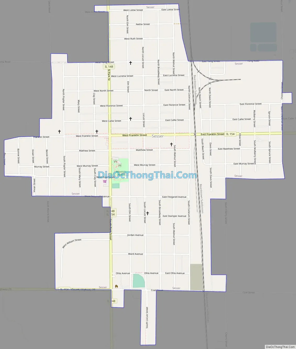
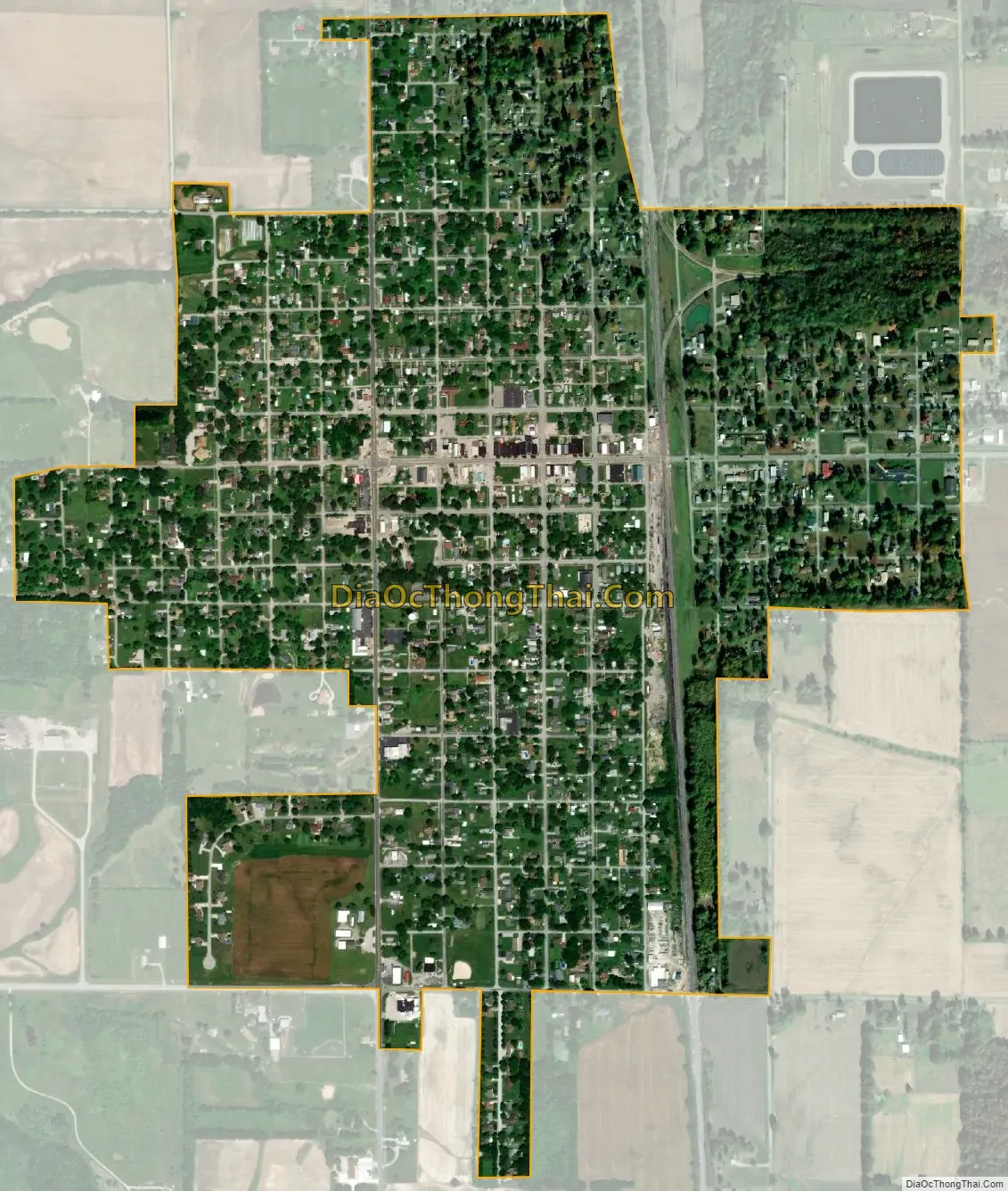
Sesser city Satellite Map
Geography
Sesser is located at 38°5′29″N 89°3′2″W / 38.09139°N 89.05056°W / 38.09139; -89.05056 (38.091251, -89.050608).
According to the 2010 census, Sesser has a total area of 1.011 square miles (2.62 km), of which 1.01 square miles (2.62 km) (or 99.9%) is land and 0.001 square miles (0.00 km) (or 0.1%) is water.
See also
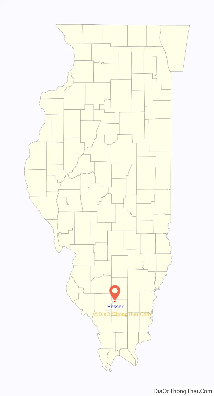
Map of Illinois State and its subdivision:- Adams
- Alexander
- Bond
- Boone
- Brown
- Bureau
- Calhoun
- Carroll
- Cass
- Champaign
- Christian
- Clark
- Clay
- Clinton
- Coles
- Cook
- Crawford
- Cumberland
- De Kalb
- De Witt
- Douglas
- Dupage
- Edgar
- Edwards
- Effingham
- Fayette
- Ford
- Franklin
- Fulton
- Gallatin
- Greene
- Grundy
- Hamilton
- Hancock
- Hardin
- Henderson
- Henry
- Iroquois
- Jackson
- Jasper
- Jefferson
- Jersey
- Jo Daviess
- Johnson
- Kane
- Kankakee
- Kendall
- Knox
- La Salle
- Lake
- Lake Michigan
- Lawrence
- Lee
- Livingston
- Logan
- Macon
- Macoupin
- Madison
- Marion
- Marshall
- Mason
- Massac
- McDonough
- McHenry
- McLean
- Menard
- Mercer
- Monroe
- Montgomery
- Morgan
- Moultrie
- Ogle
- Peoria
- Perry
- Piatt
- Pike
- Pope
- Pulaski
- Putnam
- Randolph
- Richland
- Rock Island
- Saint Clair
- Saline
- Sangamon
- Schuyler
- Scott
- Shelby
- Stark
- Stephenson
- Tazewell
- Union
- Vermilion
- Wabash
- Warren
- Washington
- Wayne
- White
- Whiteside
- Will
- Williamson
- Winnebago
- Woodford
- Alabama
- Alaska
- Arizona
- Arkansas
- California
- Colorado
- Connecticut
- Delaware
- District of Columbia
- Florida
- Georgia
- Hawaii
- Idaho
- Illinois
- Indiana
- Iowa
- Kansas
- Kentucky
- Louisiana
- Maine
- Maryland
- Massachusetts
- Michigan
- Minnesota
- Mississippi
- Missouri
- Montana
- Nebraska
- Nevada
- New Hampshire
- New Jersey
- New Mexico
- New York
- North Carolina
- North Dakota
- Ohio
- Oklahoma
- Oregon
- Pennsylvania
- Rhode Island
- South Carolina
- South Dakota
- Tennessee
- Texas
- Utah
- Vermont
- Virginia
- Washington
- West Virginia
- Wisconsin
- Wyoming