Smithfield is a village in Fulton County, Illinois, United States. The population was 230 at the 2010 census. The village is named in honor of Dr. Joseph N. Smith.
| Name: | Smithfield village |
|---|---|
| LSAD Code: | 47 |
| LSAD Description: | village (suffix) |
| State: | Illinois |
| County: | Fulton County |
| Elevation: | 630 ft (190 m) |
| Total Area: | 0.47 sq mi (1.20 km²) |
| Land Area: | 0.47 sq mi (1.20 km²) |
| Water Area: | 0.00 sq mi (0.00 km²) |
| Total Population: | 191 |
| Population Density: | 410.75/sq mi (158.72/km²) |
| Area code: | 309 |
| FIPS code: | 1770226 |
Online Interactive Map
Click on ![]() to view map in "full screen" mode.
to view map in "full screen" mode.
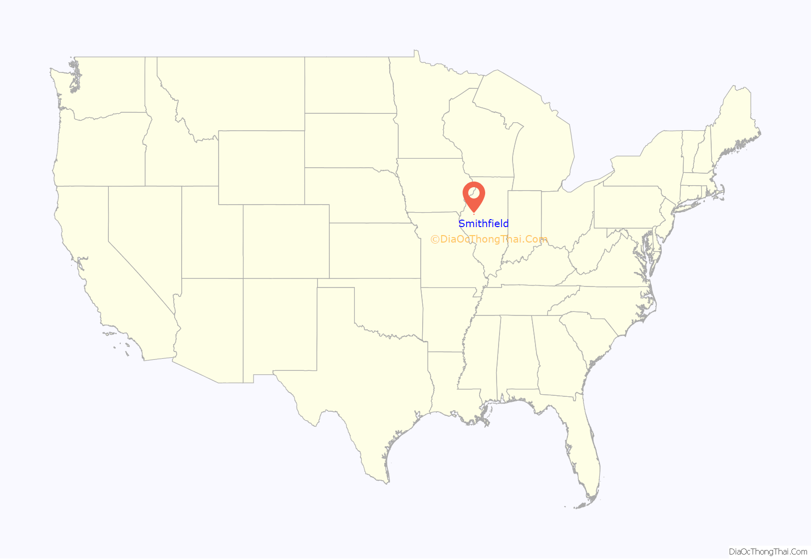
Smithfield location map. Where is Smithfield village?
History
Smithfield was founded in 1868.
Much of Smithfield was destroyed by fire in 1900.
Smithfield was once serviced by TP&W (Toledo, Peoria And Western Railway) before sold to KJRY (Keokuk Junction Railway).
Smithfield once had a grocery story, Bank, Hardware Store and Railroad Depot. The Bank is now the Historic Museum as well as the Red Brick School.
The Village once contained a Jail. The old jail cells can be seen in the Red Brick School parking lot.
Smithfield Road Map
Smithfield city Satellite Map
Geography
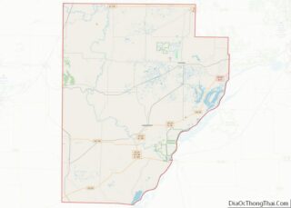
Smithfield is located in western Fulton County. Illinois Route 95 forms the northern edge of the village; the highway leads east 6 miles (10 km) to Cuba and west 5.5 miles (8.9 km) to Marietta. Lewistown, the county seat, is 12 miles (19 km) to the southeast via IL 95 and IL 97.
According to the 2010 census, Smithfield has a total area of 0.46 square miles (1.19 km), all land.
Smithfield is served by the Keokuk Junction Railway, a subsidiary of Pioneer Railcorp. BNSF once used the tracks through Smithfield.
See also
Map of Illinois State and its subdivision:- Adams
- Alexander
- Bond
- Boone
- Brown
- Bureau
- Calhoun
- Carroll
- Cass
- Champaign
- Christian
- Clark
- Clay
- Clinton
- Coles
- Cook
- Crawford
- Cumberland
- De Kalb
- De Witt
- Douglas
- Dupage
- Edgar
- Edwards
- Effingham
- Fayette
- Ford
- Franklin
- Fulton
- Gallatin
- Greene
- Grundy
- Hamilton
- Hancock
- Hardin
- Henderson
- Henry
- Iroquois
- Jackson
- Jasper
- Jefferson
- Jersey
- Jo Daviess
- Johnson
- Kane
- Kankakee
- Kendall
- Knox
- La Salle
- Lake
- Lake Michigan
- Lawrence
- Lee
- Livingston
- Logan
- Macon
- Macoupin
- Madison
- Marion
- Marshall
- Mason
- Massac
- McDonough
- McHenry
- McLean
- Menard
- Mercer
- Monroe
- Montgomery
- Morgan
- Moultrie
- Ogle
- Peoria
- Perry
- Piatt
- Pike
- Pope
- Pulaski
- Putnam
- Randolph
- Richland
- Rock Island
- Saint Clair
- Saline
- Sangamon
- Schuyler
- Scott
- Shelby
- Stark
- Stephenson
- Tazewell
- Union
- Vermilion
- Wabash
- Warren
- Washington
- Wayne
- White
- Whiteside
- Will
- Williamson
- Winnebago
- Woodford
- Alabama
- Alaska
- Arizona
- Arkansas
- California
- Colorado
- Connecticut
- Delaware
- District of Columbia
- Florida
- Georgia
- Hawaii
- Idaho
- Illinois
- Indiana
- Iowa
- Kansas
- Kentucky
- Louisiana
- Maine
- Maryland
- Massachusetts
- Michigan
- Minnesota
- Mississippi
- Missouri
- Montana
- Nebraska
- Nevada
- New Hampshire
- New Jersey
- New Mexico
- New York
- North Carolina
- North Dakota
- Ohio
- Oklahoma
- Oregon
- Pennsylvania
- Rhode Island
- South Carolina
- South Dakota
- Tennessee
- Texas
- Utah
- Vermont
- Virginia
- Washington
- West Virginia
- Wisconsin
- Wyoming
